Trinity River from Lewiston to Junction City


Stretch: Old Lewiston bridge to Evans Bar near Junction City
Difficulty: Class I with some II (and snag hazards)
Distance: 25.8 miles, 2 days
Flows: canoes and kayaks 300 - 3000 cfs
Gauge: flow measured near Douglas City (DGC)
Gradient: 15 fpm overall, 20 fpm below Steiner Flat
Put-in: Old bridge near downtown Lewiston, 1770'
Take-out: Dutch Creek road to Evans Bar river access, 1380'
Shuttle: Upper run 9.2 miles (15 minutes), lower run 25 miles (40 minutes) one-way.
Maps: USFS Trinity NF, AAA North California, PDF map, Topo
Season: year round, from dam release, note high flow schedules
Agency: BLM, private, USFS
Notes: © 1998, 2012, 2019 Bill Tuthill, CreeksYahoo

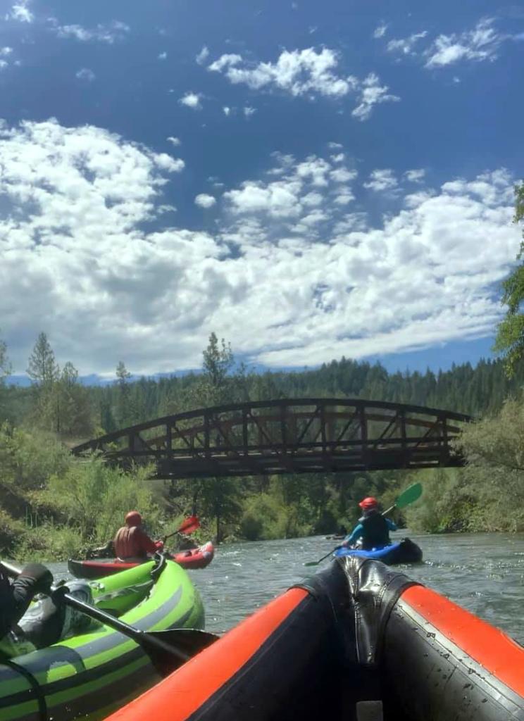
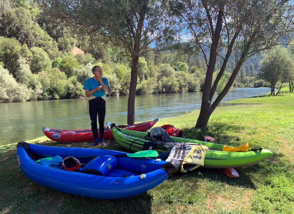
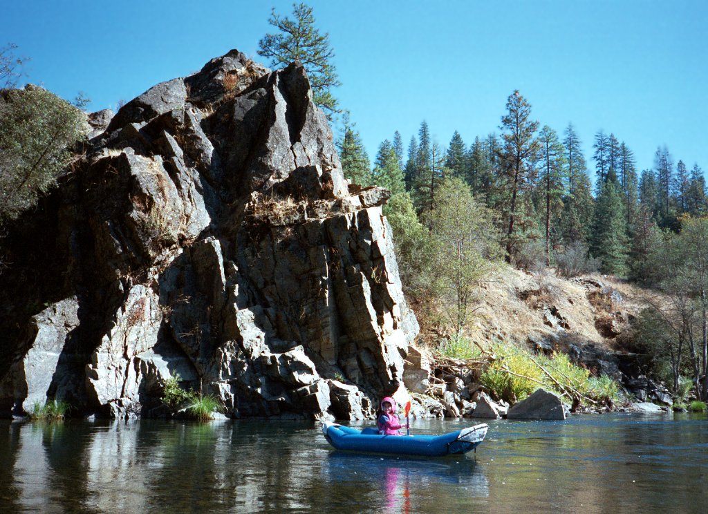
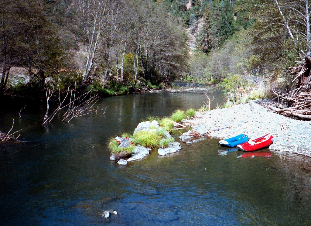
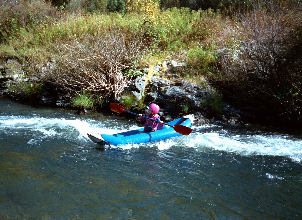
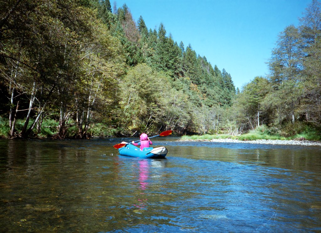
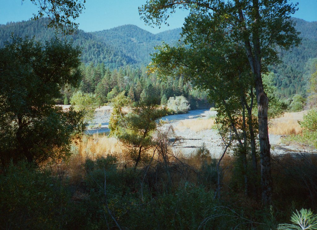
This is one of the most scenic beginner runs in California, and would be more popular if it were closer to population centers. Stretches of semi wilderness alternate with houses near the river. Some sections have no road on either side. Even when roads are near, the river corridor retains a nice wilderness feel. Trout fishing is good; salmon and steelhead runs occur at certain times of the year. Although gold was first discovered along the Trinity just above Reading Creek in Douglas City (then called Kanaka Bar), this section is not as devastated by hydraulic mining as the section from Junction City to the North Fork.

Here is an occasionally updated Flow Release Schedule for Lewiston Dam. At low flows, some rapids become very rocky and technical. At high flows, watch out for downed trees and brush along the banks. In odd years, a late summer release occurs for the Hoopa boat dance.

Steel Bridge BLM campground is quiet with several walk-in campsites. Downstream, Douglas City BLM campground is superb, with flush toilets and spacious campsites among tall trees. Primitive camping is available further down Steiner Flat road. The lumbering and resort town of Weaverville is along the shuttle route, and offers good restaurants and motels for those not inclined to camp.

All 25.8 miles are worthwhile, but best divided in two. The lower run has more whitewater. The upper run has some and is possibly more scenic. You can split the runs by camping at one of the campsites mentioned above, or by putting in at Indian Creek access if staying in Weaverville. The upper run to Indian Creek is 14.7 miles, the lower is 11.1 miles. At low flows you might want to reduce the upper run to 10 miles by putting in at Bucktail river access.

Above Trinity reservoir, there is a scenic high-elevation class III-IV run with natural flow, described here. Indian Creek, a tributary below Douglas City, offers a fine class IV+ run with many sweet bedrock drops. It sometimes reaches 150 cfs in spring, the minimum level recommended for kayaking. Below this run, after an easy section along the road, below the North Fork confluence, lies the excellent class III Trinity Pigeon Point run.

Distances are given in miles below Lewiston, and (in parentheses) miles above the Klamath confluence.

mile -1 (111)
You can put in above the new bridge on Lewiston Rd. Below put-in after a right bend is a long rapid around islands and thru trees, not recommended except at low flows.
0 (110)
The gravel parking area and beach north of the Lewiston bridge makes an easy put-in, near the water with shade underneath the bridge.
Trinity River below Douglas City Trinity River below Douglas City
Liz, Linda, Tylor, and Frost at put-in  Wood debris piled up from high water
Less than a mile downstream, the river flows around a large island complex, with most flow going left. The right curve below usually contains strainers and wood debris.
3 (107)
Bridge at Salt Flat Rd.
4.7 (105.3)
Bucktail river access on river left. Shortly below, bridge at Browns Mountain Rd.
7.6 (102.4)
The river splits around an island. Take the left channel, which is more exciting. In the midst of the island is a two-part bridge for Bridge Rd.
8 (102)
Series of rapids begins alongside houses of Poker Bar: False Suburban, Suburban 1 at a right curve, Suburban 2 right of an island, and Suburban 3 at a left curve.
Trinity River below Douglas City Trinity River below Douglas City
In the channel above Bridge Rd.  Grassy expanse at Indian Creek Lodge
9.2 (100.8)
Houses end after a horseshoe bend at Limekiln Gulch, and you can enjoy a semi-wilderness stretch.
11 (99)
Steel Bridge BLM campground on river left.
11.5 (98.5)
Rocky rapids as the river completes another horseshoe bend. Houses appear along Steel Bridge Rd. Another bridge appears.
13.6 (96.4)
Boring stretch alongside highways 299. Fortunately after .5 mile the river veers away from the highway.
14.7 (95.3)
After grassy area of Indian Creek Lodge, Indian Creek enters on river left. Public vehicle access is just downstream.
16.1 (93.9)
Highway 299 bridge overhead. Houses of Douglas City follow.
17.1 (92.9)
Reading Creek enters on the left.
17.6 (92.4)
Douglas City BLM campground. Put in at the beach just downhill from the picnic parking area. Downstream, the river curves left around a ridged peninsula. A generally unobtrusive road follows the right bank, offering fishing access to the upper stretch.
Trinity River below Douglas City Trinity River below Douglas City
Rapidette below Reading Creek  Rock outcropping below BLM campground
18.5 (91.5)
Alcove beach and good jumping rock on the right. Photographs by Seth Tuthall.
Trinity River below Douglas City Trinity River below Douglas City
In cartoons, gravity has a delayed effect  Snags (trees in current) are the principal hazard
20.1 (89.9)
Many houses of Steiner Flat on the right.
Trinity River below Douglas City Trinity River below Douglas City
Typical whitewater at moderate flow  Midstream rocks may require maneuvering 
21.1 (88.9)
Locked gate on Steiner Flat Rd. If you left your take-out car parked along this road, go no further. Gradient picks up below the locked gate. At high flows, one long rapid verges on class III.
22.2 (87.8)
Browns Creek enters on the left. Large rock outcropping on the right bank. Houses on the left bank, reached by dirt road from highway 3. Gradient tapers off soon thereafter.
23.5 (86.5)
Maxwell Creek enters on the left. Several houses. Downstream is a sharp ridge on the right called Johnson's Point.
25 (85)
Island with most water going into the right channel. Evans Bar on the right. Structures accessible only at low flow by fording the river.
25.8 (84.2)
Shortly downstream of a fish counting weir (2019) that might move, find Evans Bar river access on the left. Downstream are many piles of mining debris and few rapids.
Trinity River below Douglas City Trinity River below Douglas City
Good scenery in the wilderness section  The Trinity downstream of Oregon Gulch
30.4 (79.6)
Bridge at Junction City, with dirt road access down to river level on the right bank. Not recommended.

Shuttle Directions

To reach Indian Creek river access, drive west from Redding 38 miles on highway 299, or east from Willow Creek 64 miles. Public vehicle access is just west of Indian Creek Lodge.

Steel Bridge BLM campground is west, at the end of Steel Bridge Rd. Douglas City BLM campground is over a hill on Steiner Flat Rd. East of the wide bridge, take the Douglas City turnoff. Just past the general store and a motel, turn right onto an unmarked paved road. Soon, take the left fork, not the right fork to the local school. At the top of the first hill, turn left and descend steeply to the BLM campground. The best river access is at the downstream end of the campground.

To reach put-in for the upper run, drive east 3.8 miles on highway 299. After the top of a hill, turn left onto Lewiston Rd. Continue 5.3 miles and turn left onto Lewiston School House Rd. After a sharp right at bottom of a hill (Goose Ranch), turn left on Lewiston Turnpike Rd. Cross the one-lane bridge just northwest of downtown, and take a sharp left into the gravel parking area.

To reach take-out for the lower run at Evans Bar river access, drive west on highway 299 uphill to the town of Weaverville, where traffic slows considerably. Continue uphill and over a pass, then down to Junction City. After 16 miles on 299, turn left and cross the bridge on Dutch Creek Rd. Turn upstream. After 4 miles, bear left on Evans Bar Rd. After a mile the pavement ends, just before the river access area.

It might be possible to pre-arrange a shuttle by contacting the Douglas City general store, or the Lewiston store. They might help you with the shuttle, or give you the phone number of a driver.


 Creeks Navigation

 Home
 Recommended Runs
 Map of Rivers
 Alphabetic Index
 Alphabetic Table
 Text Search

 Sponsored Links