|
Yuba River below Englebright Dam |
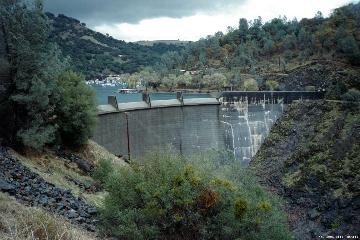
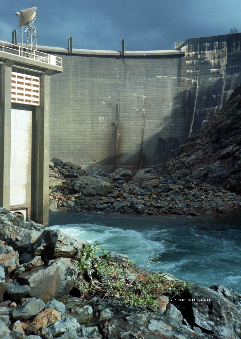
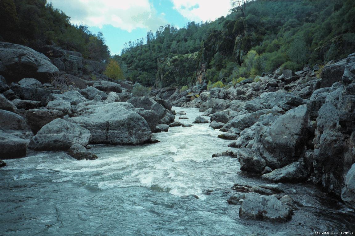
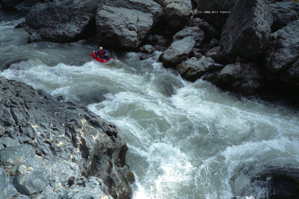
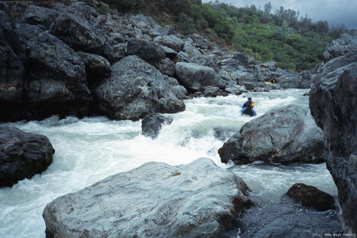
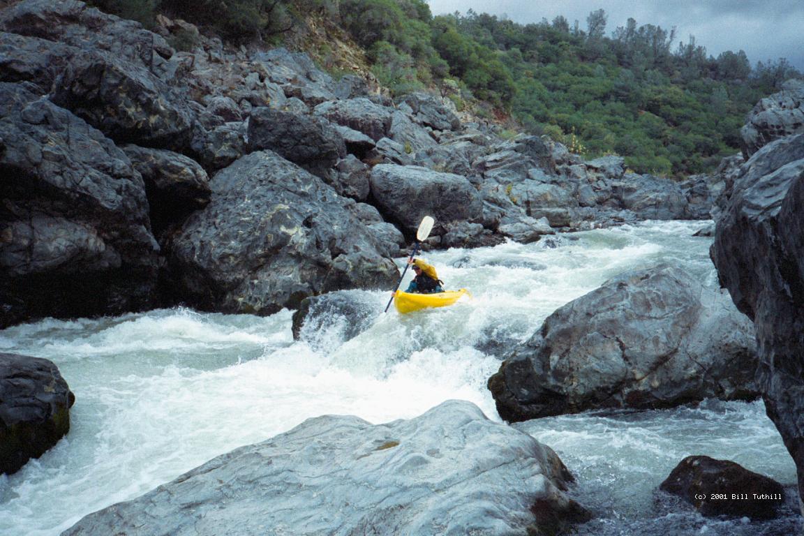
Guidebooks say this part of the main Yuba is 1.5 miles of class III, one class IV, then 4.5 miles of class I. Yawn. None of my friends wanted to go, until they heard the salmon and steelhead were running. The main reason nobody wants to run this section is that you start by crossing a reservoir, then carry over 1/2 mile up a hill and down switchbacks to a powerhouse below the face of the dam. Nobody wants to do that for only 1.5 miles of class III-IV. But it's worse than that! There aren't even any class III rapids!! We had about 750 cfs, but even at higher flows I can't imagine any of the 4 class II+ rapids at the beginning would become class III. However note that in the old Charles Martin guidebook, it says that a Sierra Club trip at 2000 cfs had many swimmers. The class IV rapid is fun, and followed by a beautiful narrow gorge. Possibly the lead-in to this rapid counts as a class III, but I would lump it together as the same rapid, even at 750 cfs. The remaining 4.5 miles are mildly scenic, and contain many class II- rapids with mostly moving water in between. So the top third isn't as good as the guidebooks indicate, and the bottom 2/3 isn't as bad. I would do this run again during salmon spawning season, but I don't mind portaging as much as some boaters do. Bald Eagle Rookery: We saw about 12 bald eagles, mostly juveniles, enjoying the outcome of the salmon run. These salmon can't get past Englebright Dam, so they all die here in this section, providing a feast for the eagles and osprey. On the road back to Marysville we saw “Save Englebright Lake” signs [sic, it is a reservoir, but a rather cute reservoir]. The dam is badly cracked on the river-left side, especially near the bottom, but the 1974 Charles Martin guidebook has a picture showing similar cracks, so I guess the dam is stable enough. Maybe the houseboaters on Englebright reservoir are trying to get federal subsidies for a new dam. Removing the dam would open up almost the entire South Fork Yuba to salmon migration. Also removing Our House Dam, a small diversion dam on the Middle Fork Yuba, would free more than twice as much river distance for salmon spawning.
To reach put-in from there, return to highway 20 and turn right. Proceed uphill past the town of Smartville on the left. Pass Smartville Road to Beale Air Force Base on the right. Shortly thereafter turn left onto Mooney Flat Road, which descends gradually past houses. As this road starts ascending again, turn left into the houseboat access area. You can park right next to the reservoir (2001).
|
Creeks NavigationHomeRecommended Runs Map of Rivers Alphabetic Index Alphabetic Table Text Search
Sponsored Links
|