| |
| Stretch: |
Beasley Flat to Horseshoe Reservoir |
| Difficulty: |
Class II with one IV and some III, flow measured halfway |
| Distance: |
60 miles, four to six days |
| Flows: |
kayaks 250 - 2500 cfs, rafts 500 - 2500 cfs
|
| Gauge: |
put-in is lower, take-out is higher
(USGS) |
| Gradient: |
17 fpm average, much steeper in mile 2-3 |
| Put-in: |
downstream of Camp Verde at Beasley Flat, 2980' |
| Take-out: |
points upstream or Horseshoe Reservoir, 1960' |
| Shuttle: |
111 miles (3 hours) one way, shuttle driver recommended |
| Maps: |
USFS description with maps, AAA Arizona
(Topo)
|
| Season: |
early spring, from rain and snowmelt |
| Agency: |
Wild & Scenic, private, USFS, Mazatzal Wilderness |
| Notes: |
© 2011 Bill Tuthill, photos © 2009 Brian Vogt, Shaun Riedinger, Nick Borelli
|
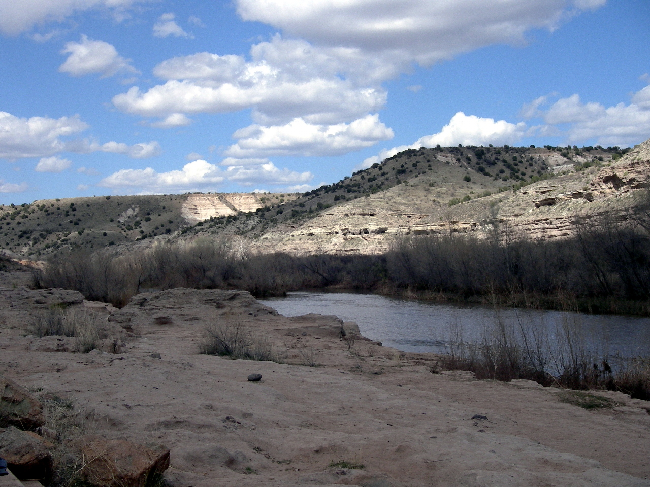
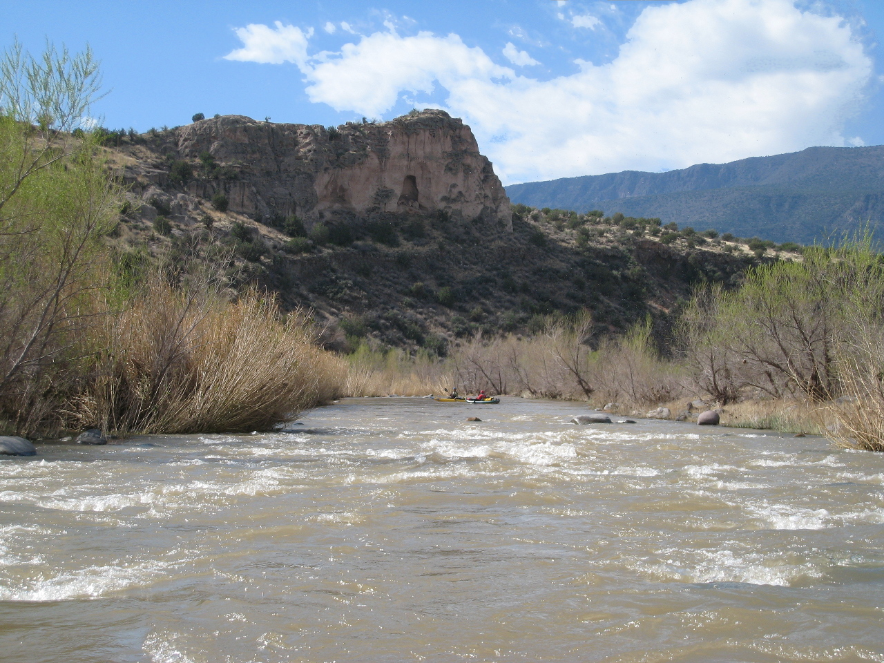
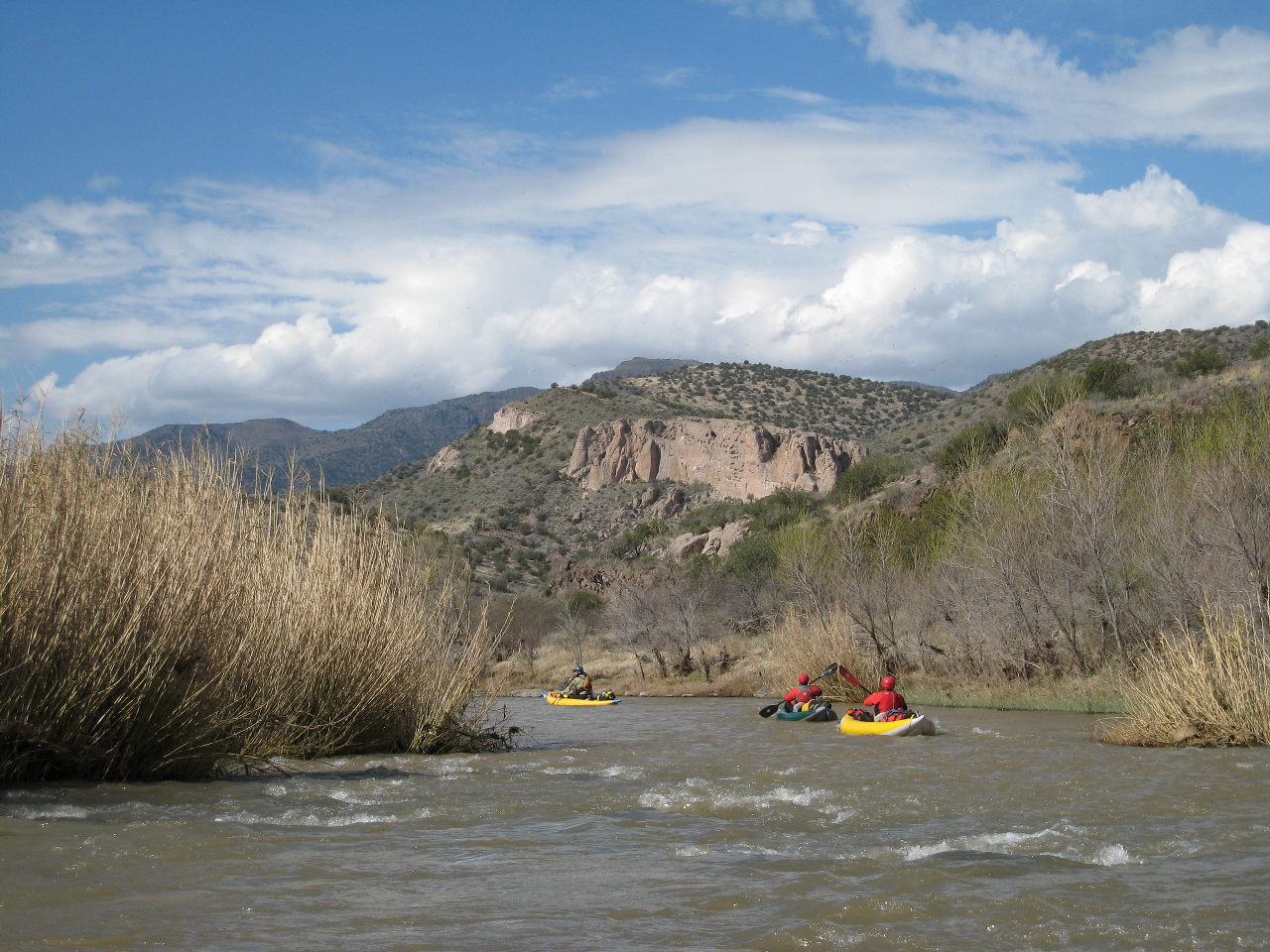
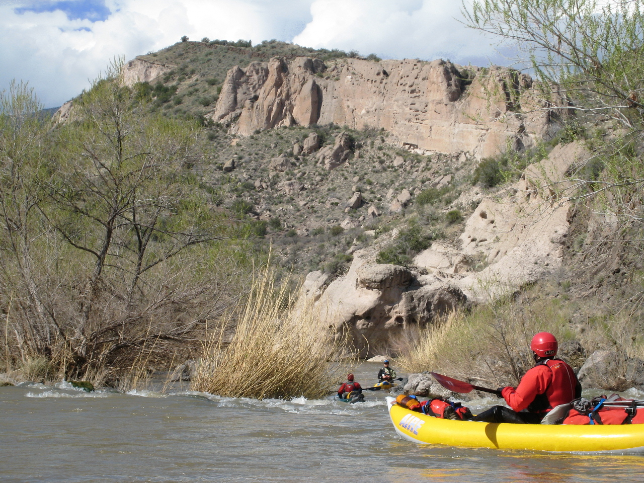
The Verde makes an excellent early season trip,
often coinciding with baseball spring training.
Currently Arizona's only Wild & Scenic river,
it certainly is wild (most of the way) and scenic.
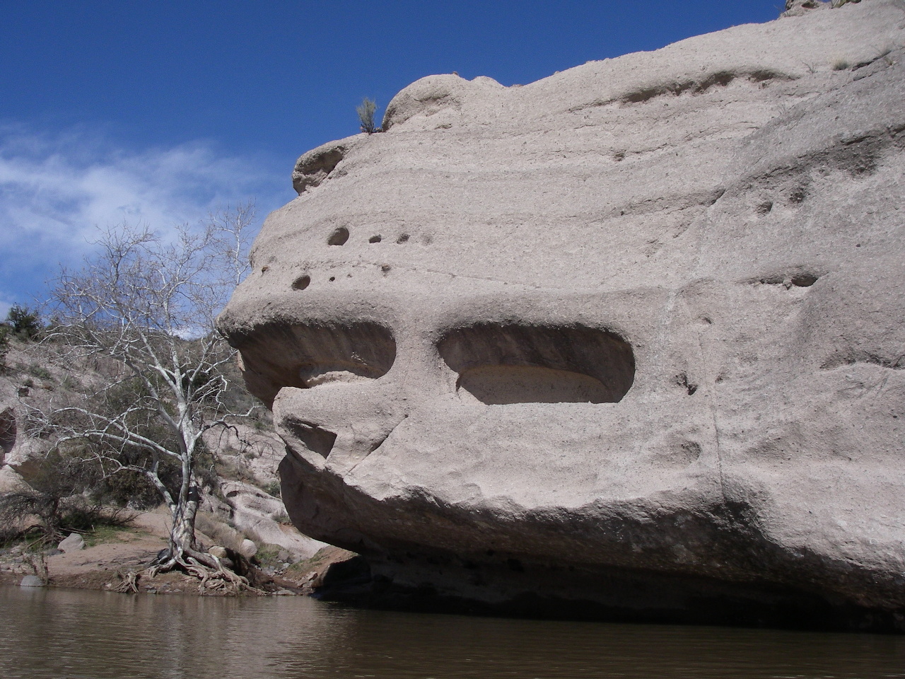
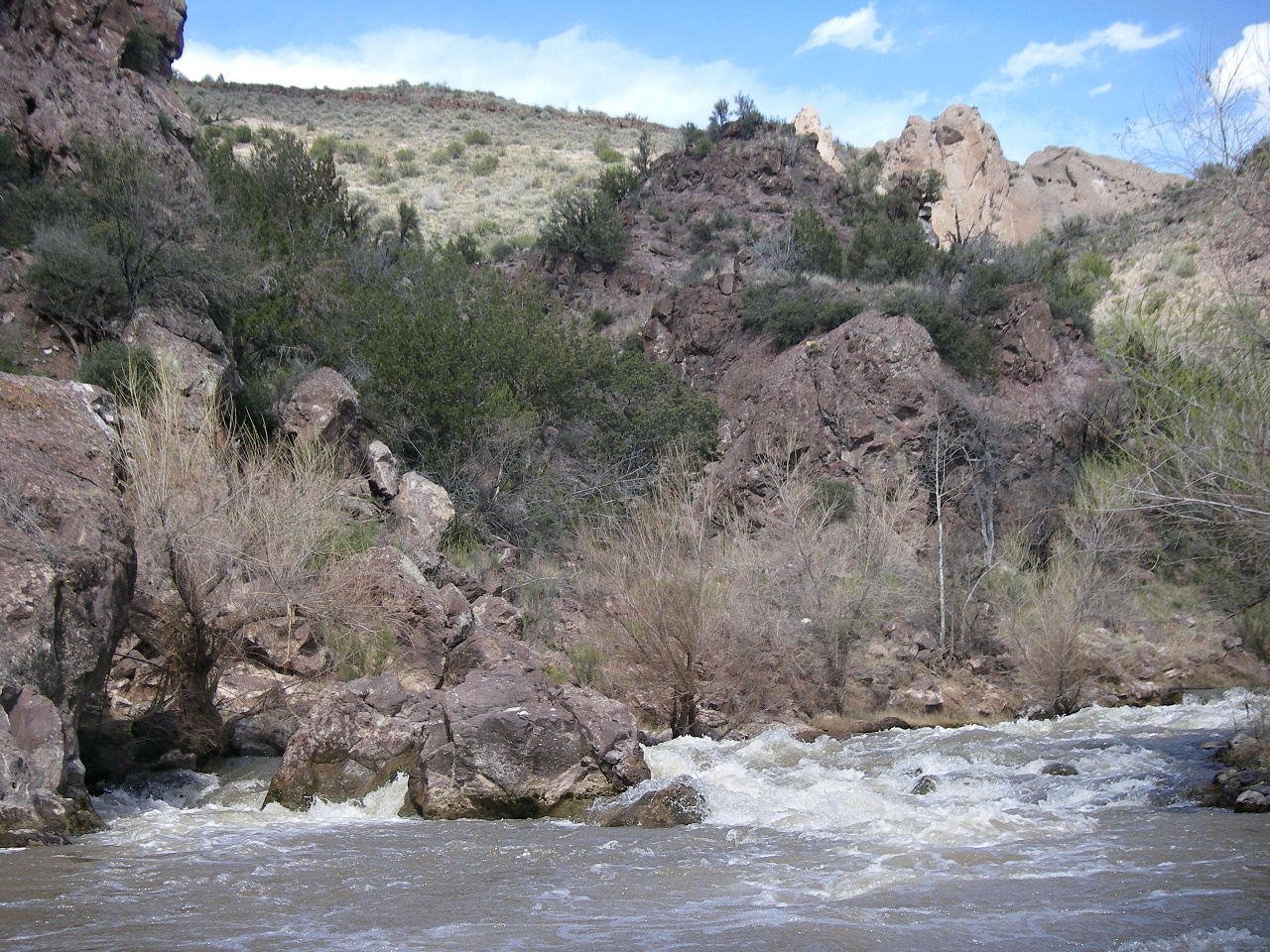
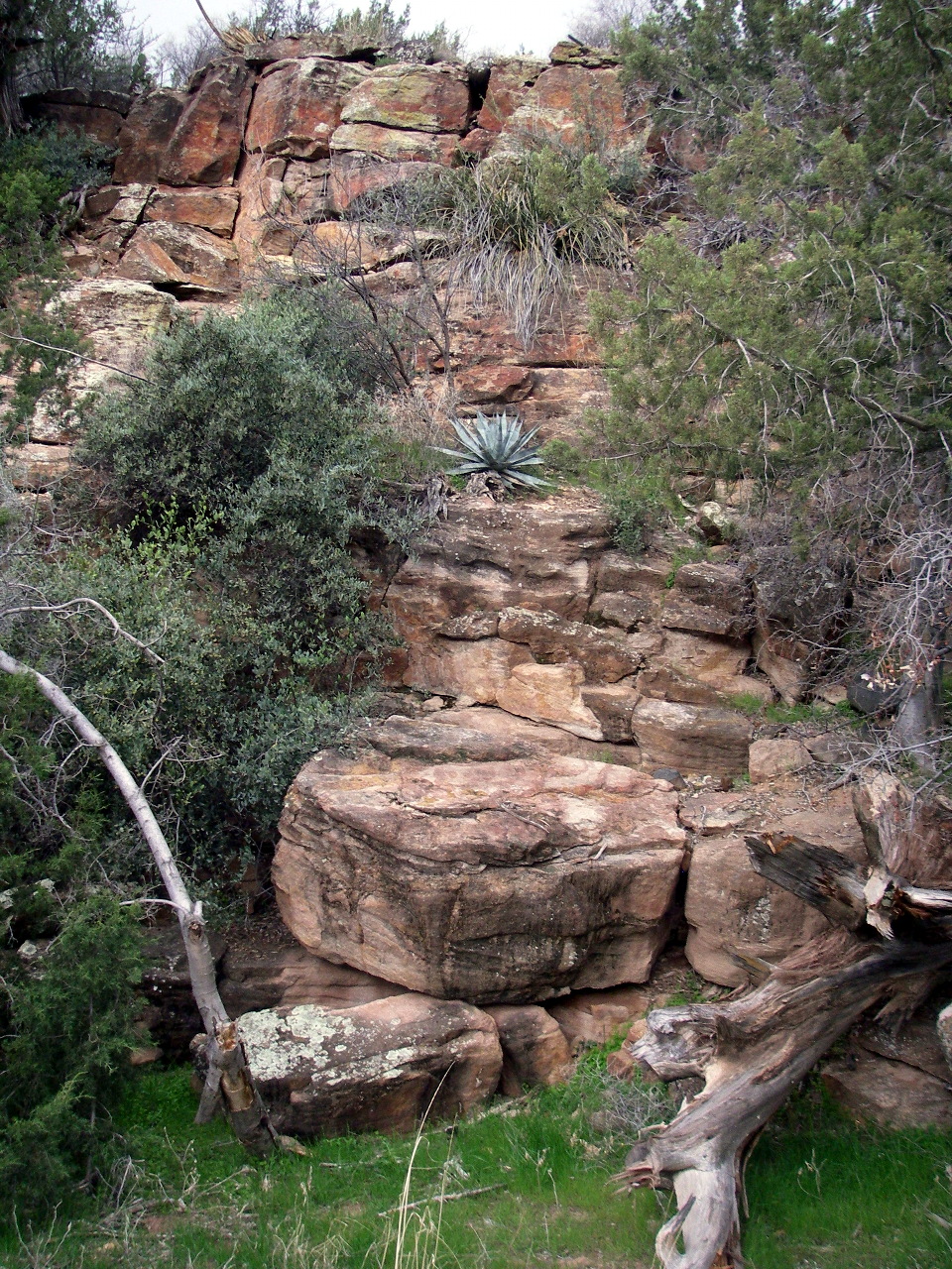
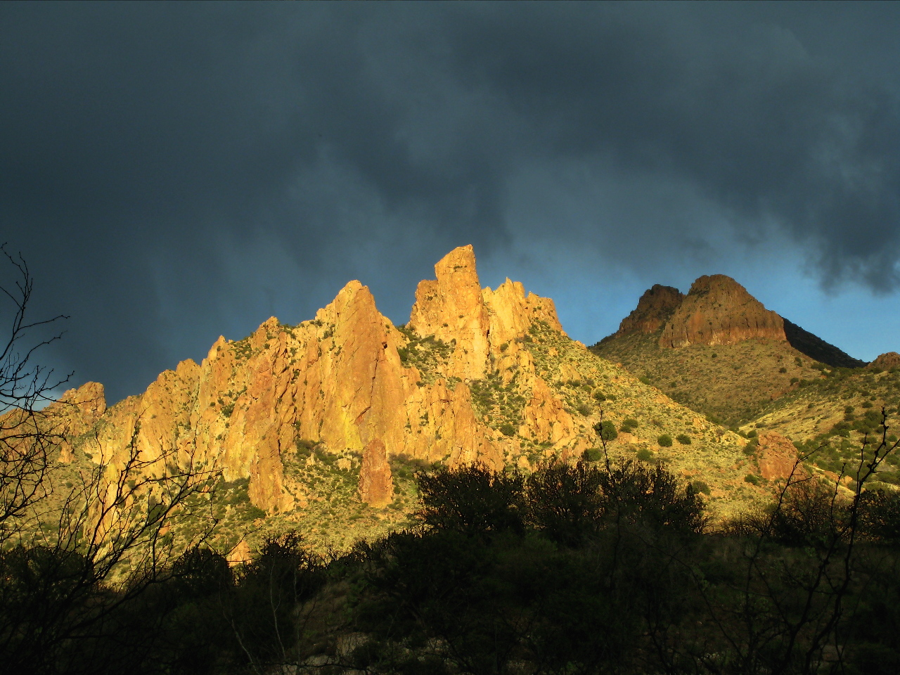
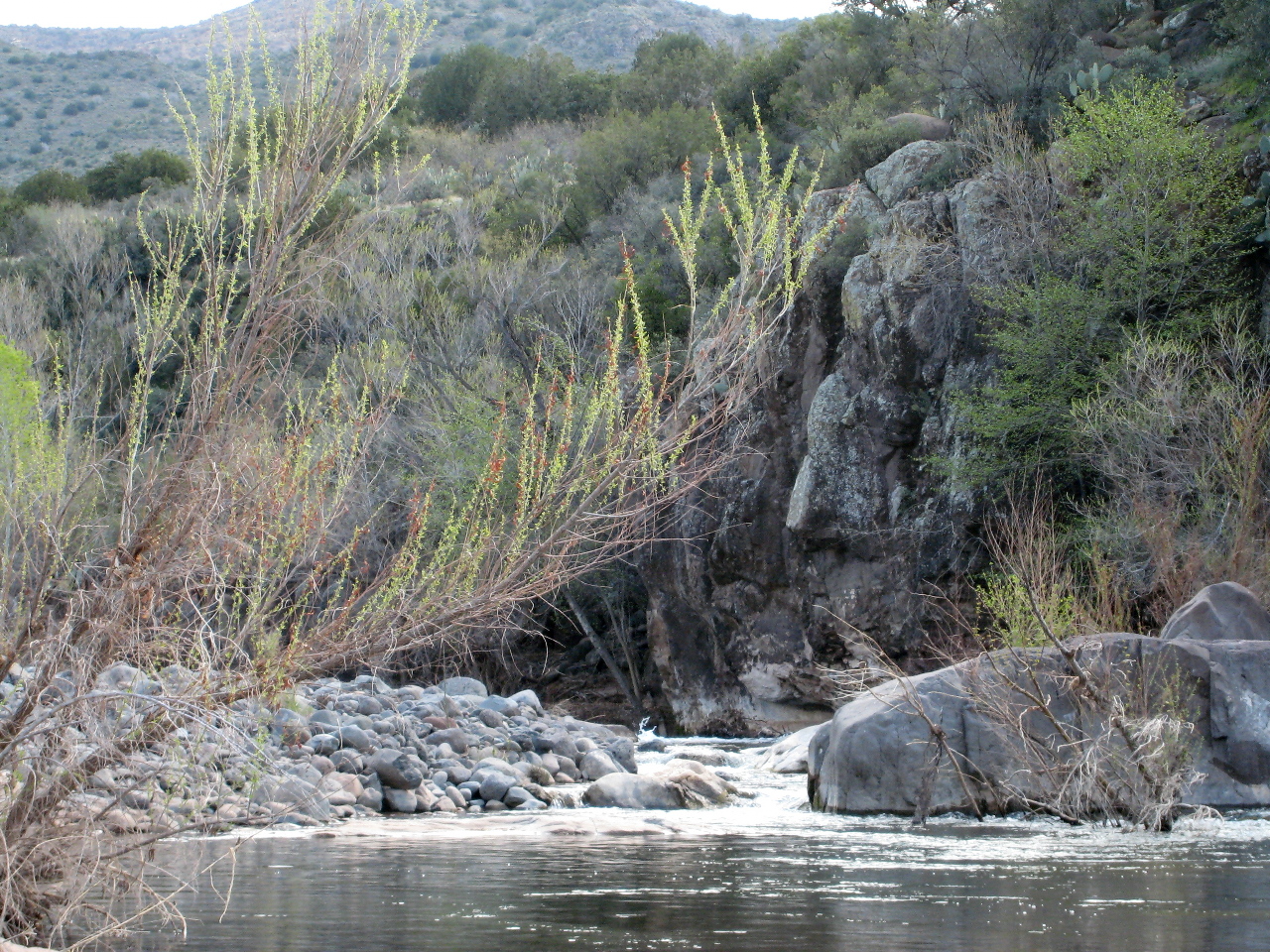
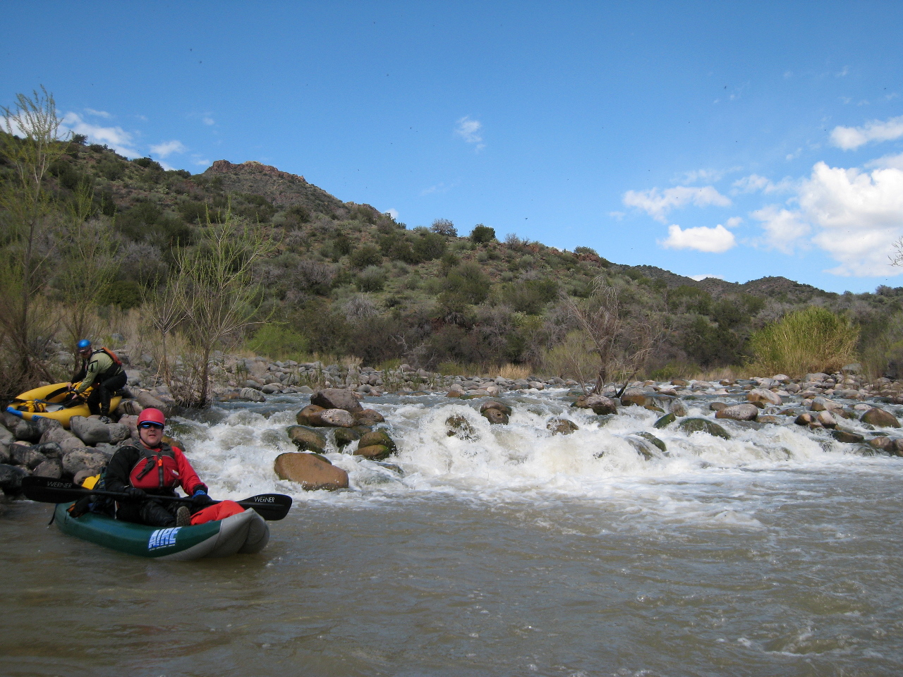
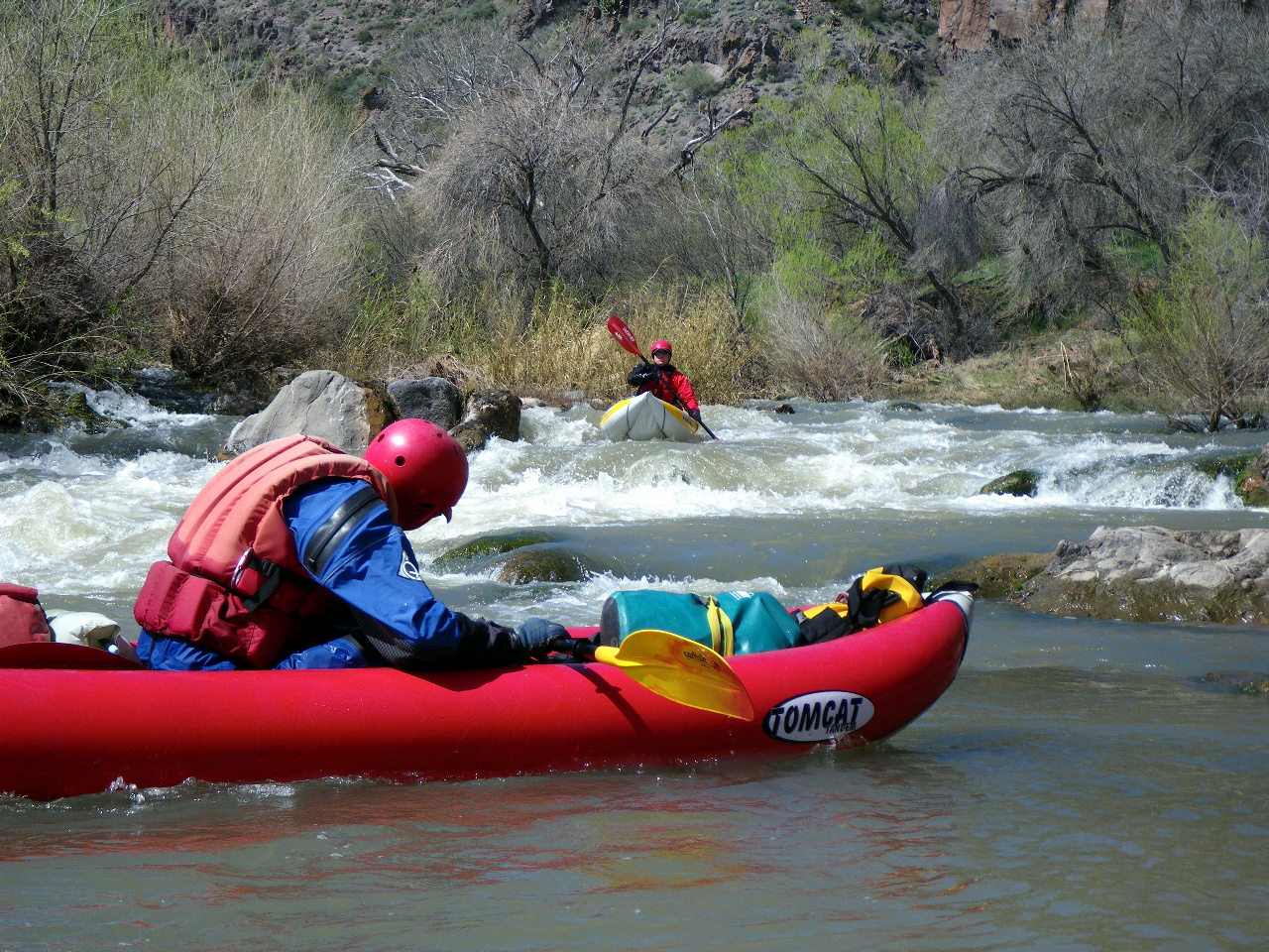
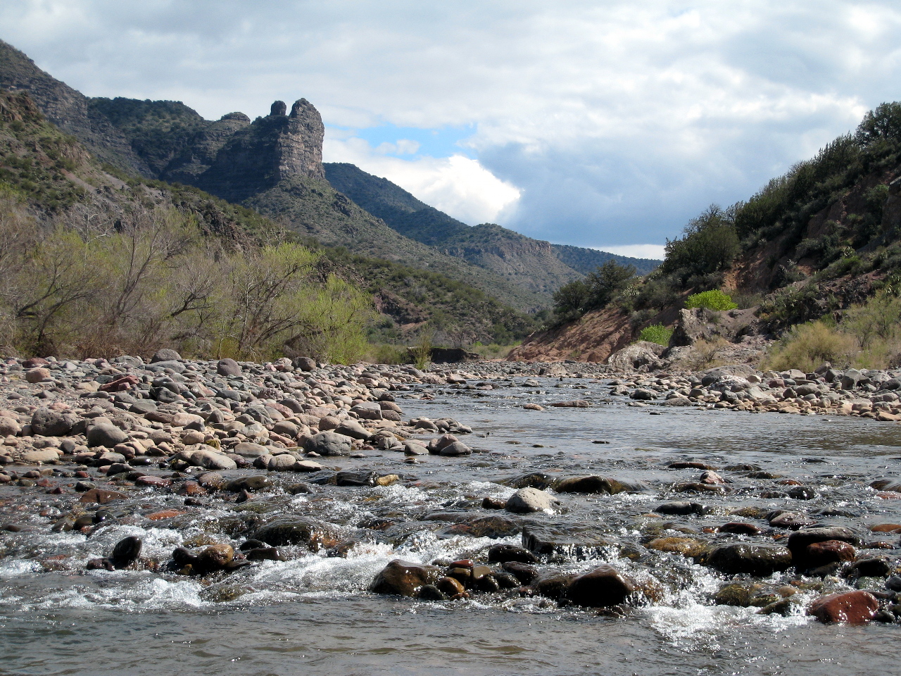
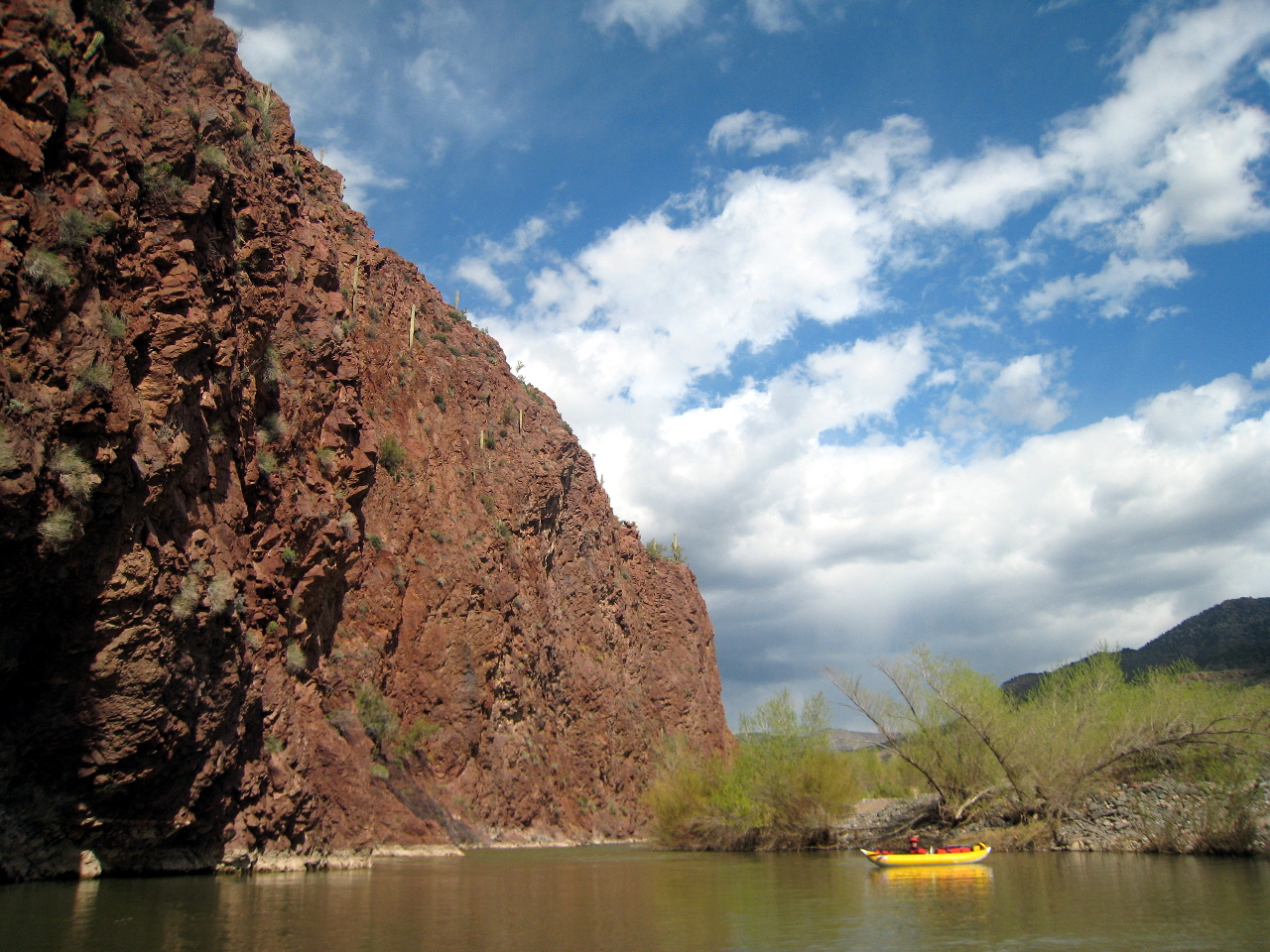
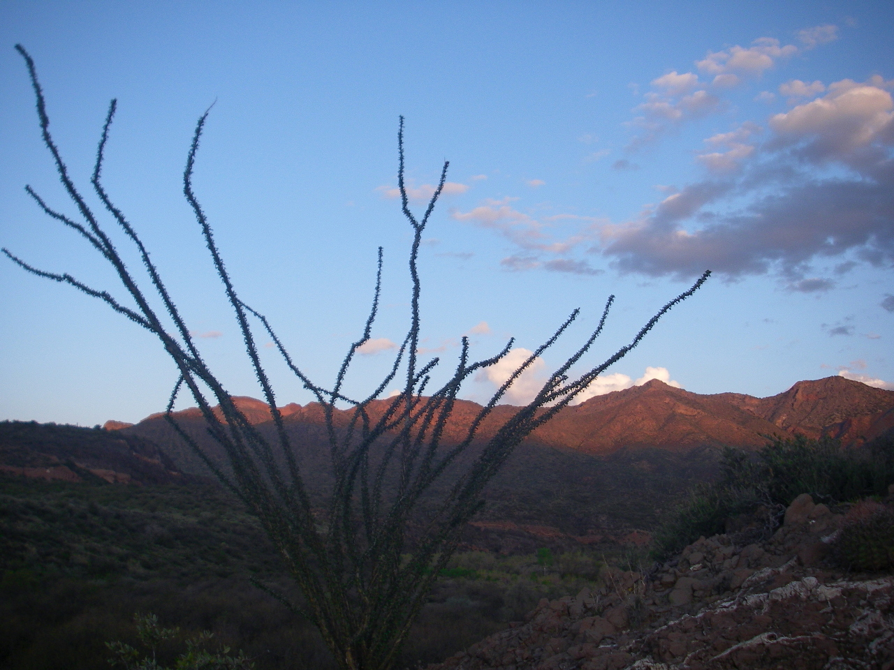
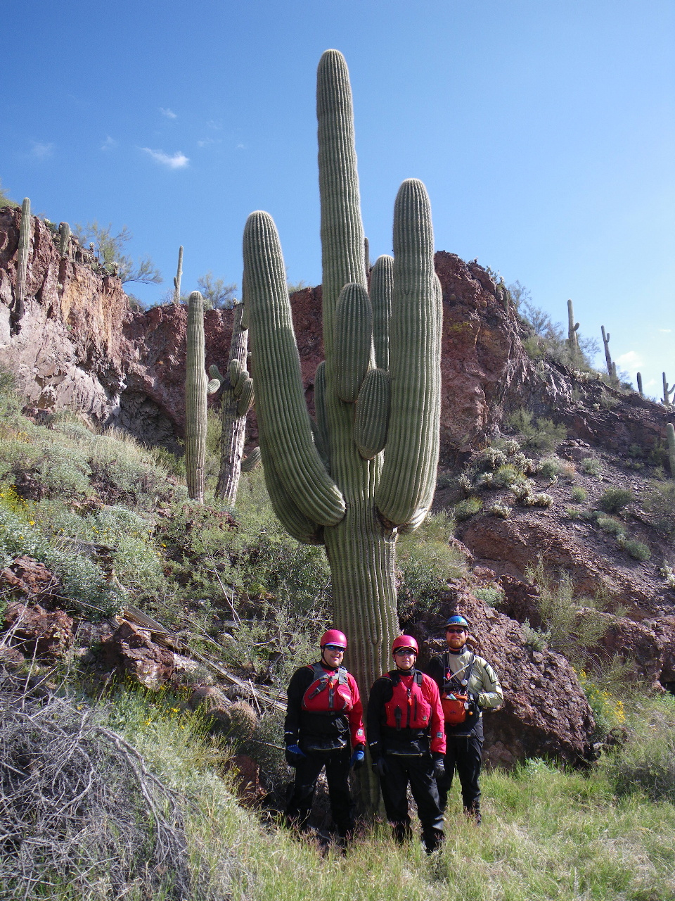
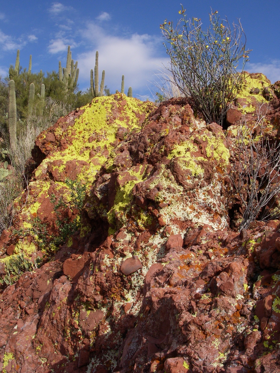
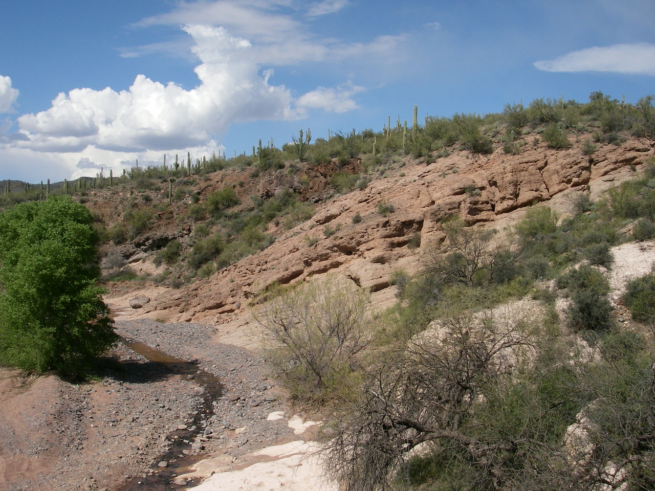
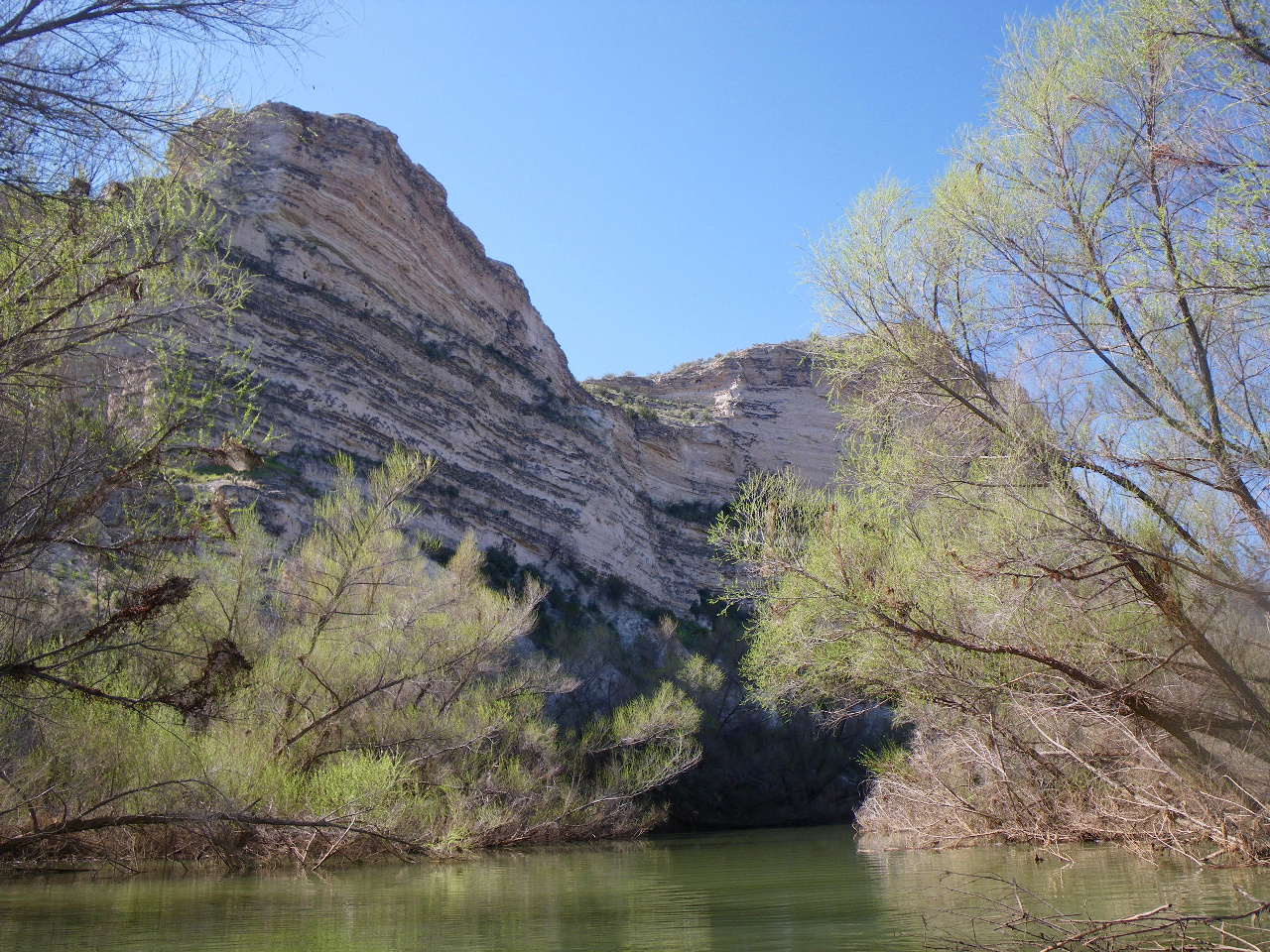
The canyon is not deep, but the rocks and desert vegetation are spectacular.
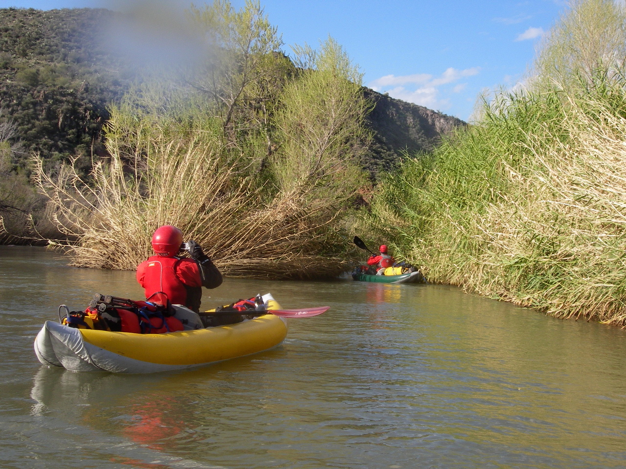
Although the class II rating and 17 fpm gradient seem meager,
even at low flows the current moves well,
creating more rapids than you might reasonably expect.
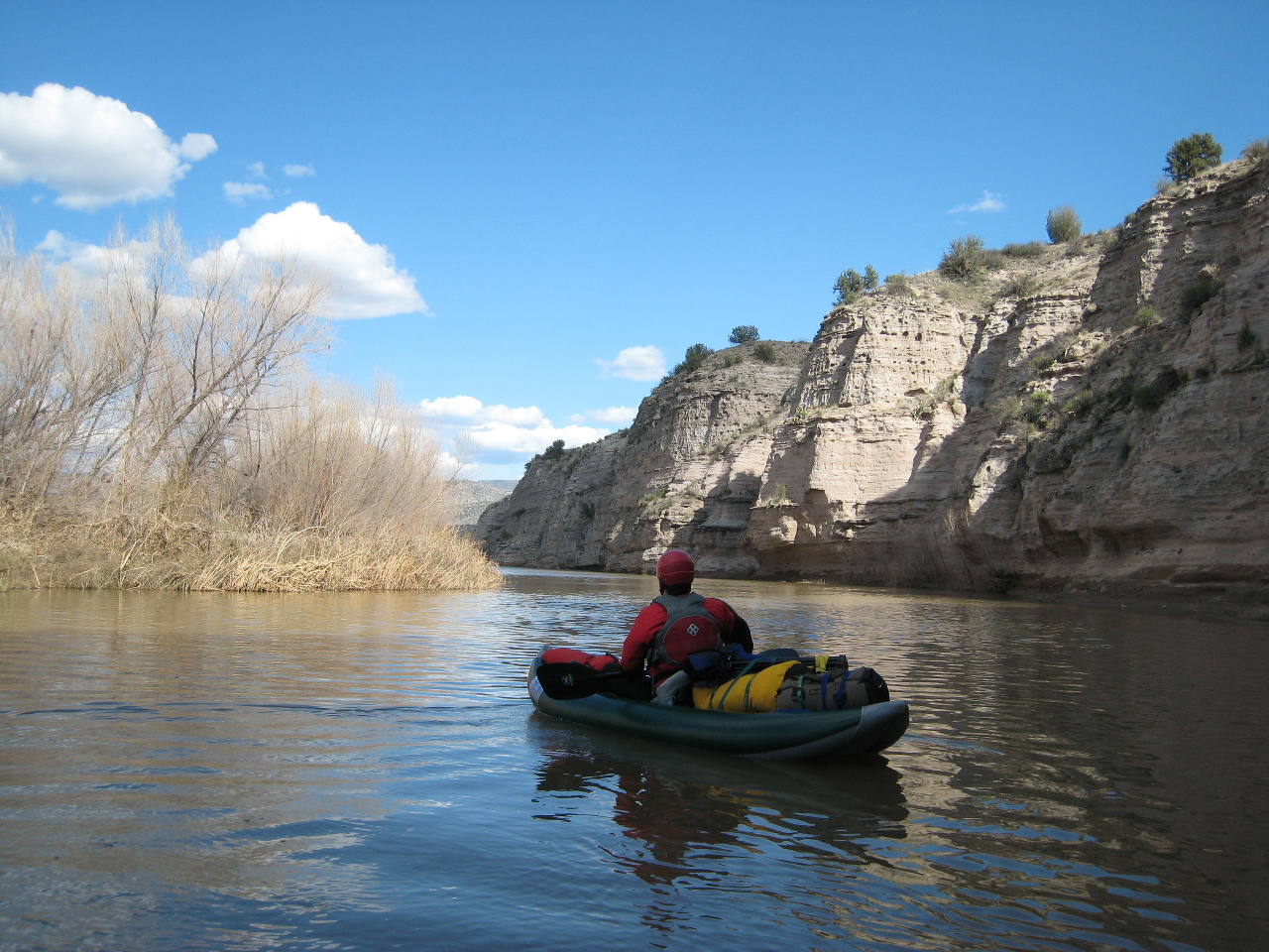
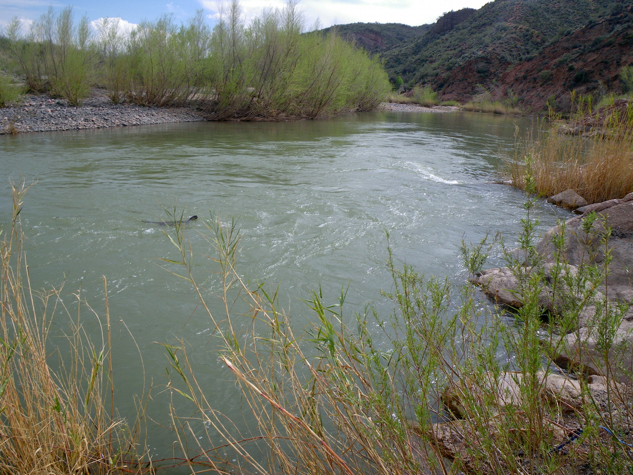
At moderate flows the water is pleasantly green, hence the name Verde.
This river is close to Phoenix, so you can fly in early morning,
rent a car, and get at least a few miles down the river to a nice camp.
We were lucky enough to locate a shuttle driver who lives near put-in.
At the end of the trip, our vehicle was even closer to Phoenix!
Tonto National Forest personnel have created a 25-page pamphlet with maps,
A Boater's Guide to the Verde River, available online.
Perhaps they rated the river for open canoes.
because many rapids seem overrated, and some have since changed.
Also, campsites are not limited to the ones listed in the pamphlet.
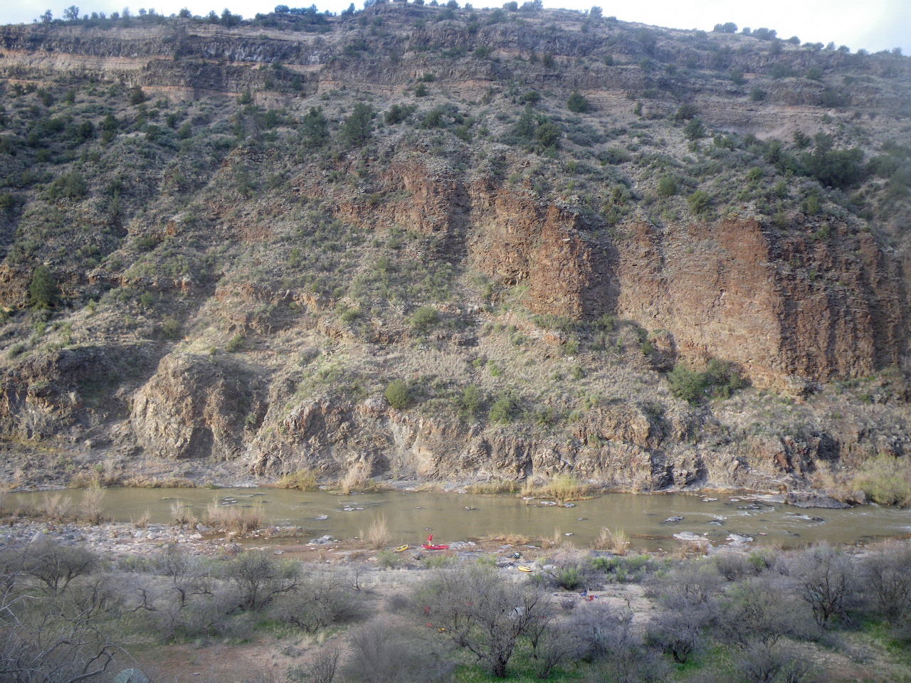
There are literally hundreds of good campsites along this run,
although the USFS wants you to avoid eagle nesting areas.
Jim Slingluff, who wrote the definitive Verde guidebook, says that 500 cfs
is his favorite flow, but based on my observation, this flow is rare.
Whereas flows around 300 cfs are common in late February and early March.
In my opinion, it's better to boat than to wait for optimum.
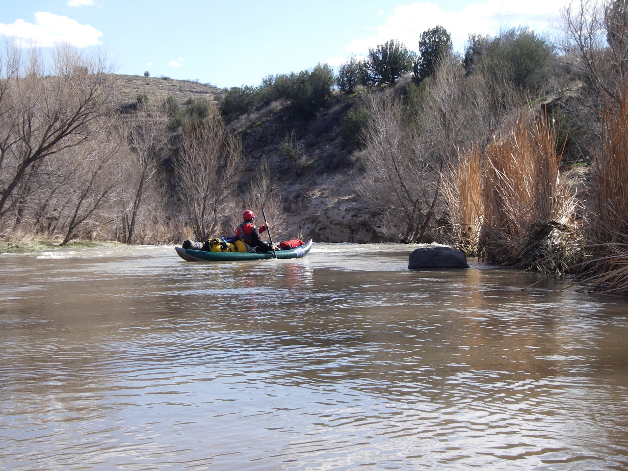
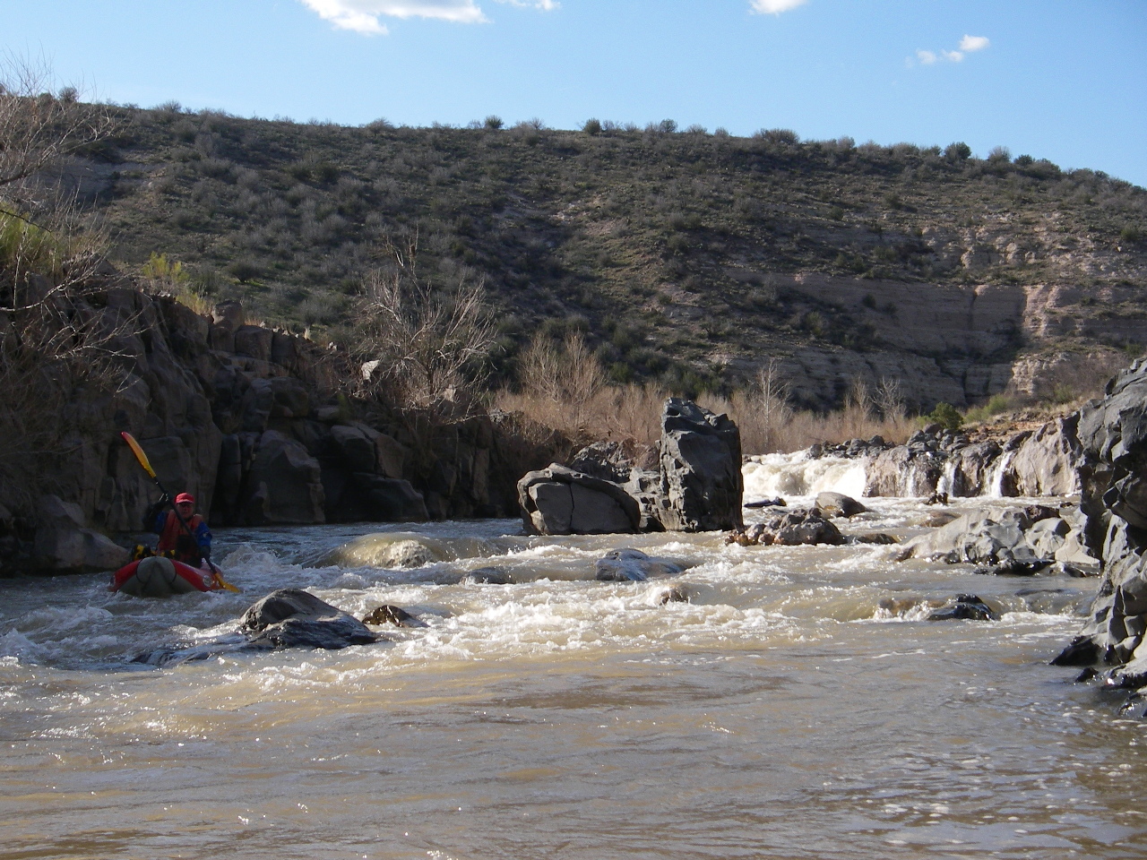
Photos on this page were taken at flows between 250-280 cfs.
- mile 0
- The road ends at the Beasley Flat boat ramp, where you find toilets,
roof-protected picnic tables with grills, and plenty of parking.
When the water is up, local boaters put in here for a day run.
-
- .5
- Good camp with large gravel beach on the left, if you are running very late.
- 1.7
- Off The Wall rapid, a somewhat blind class II drop.
-
- 1.9
- Good camp with sand and bedrock on the left, if you are running late.
Last recommended camp until mile 4.5.
- 2.4
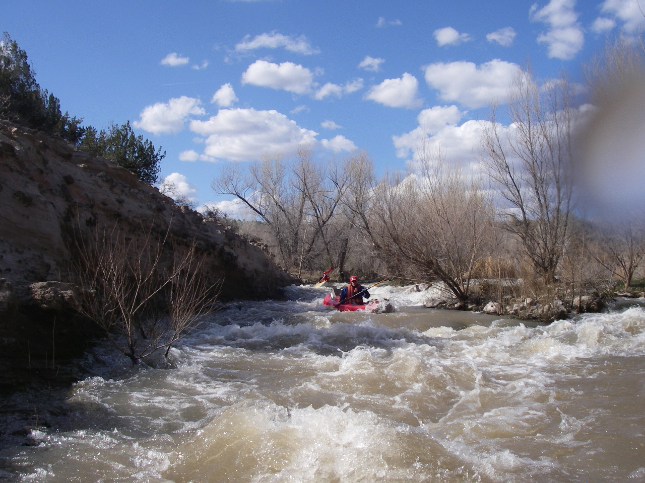
- Pre-Falls rapid, class III, appears suddenly, making it hard to scout.
Supposedly you can stop well upstream and scout left. In any case,
it is steep but not tricky.
-
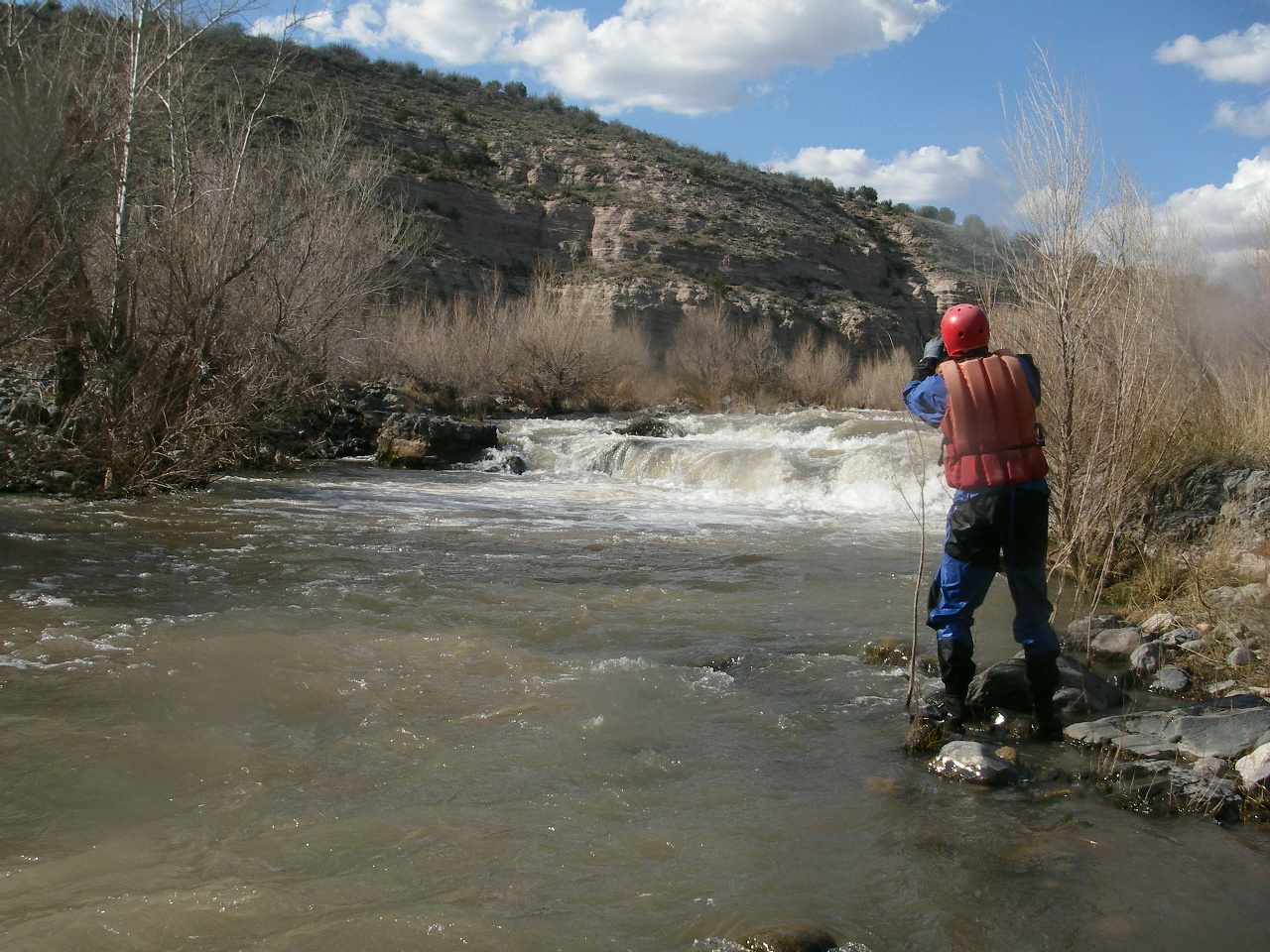
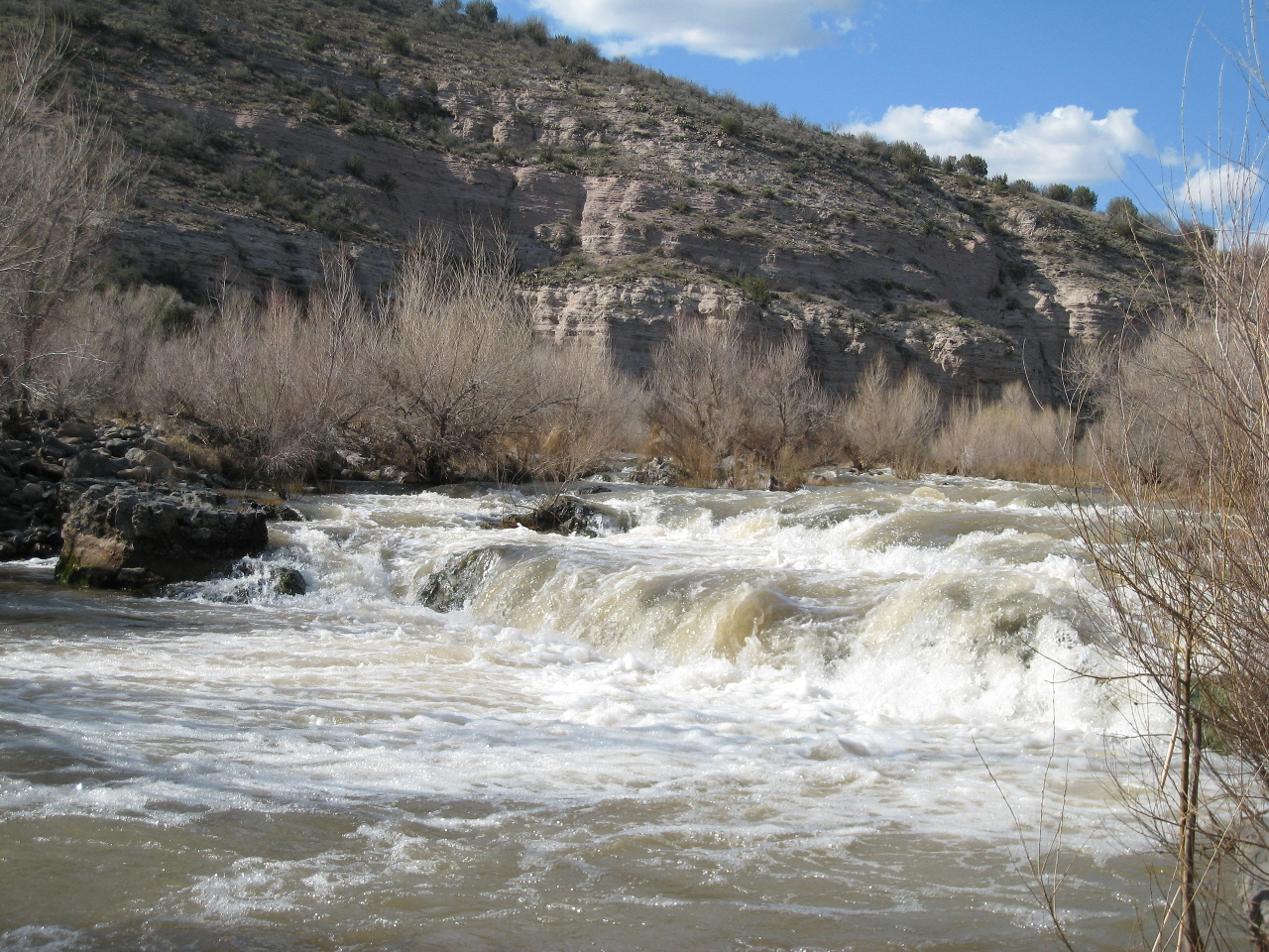
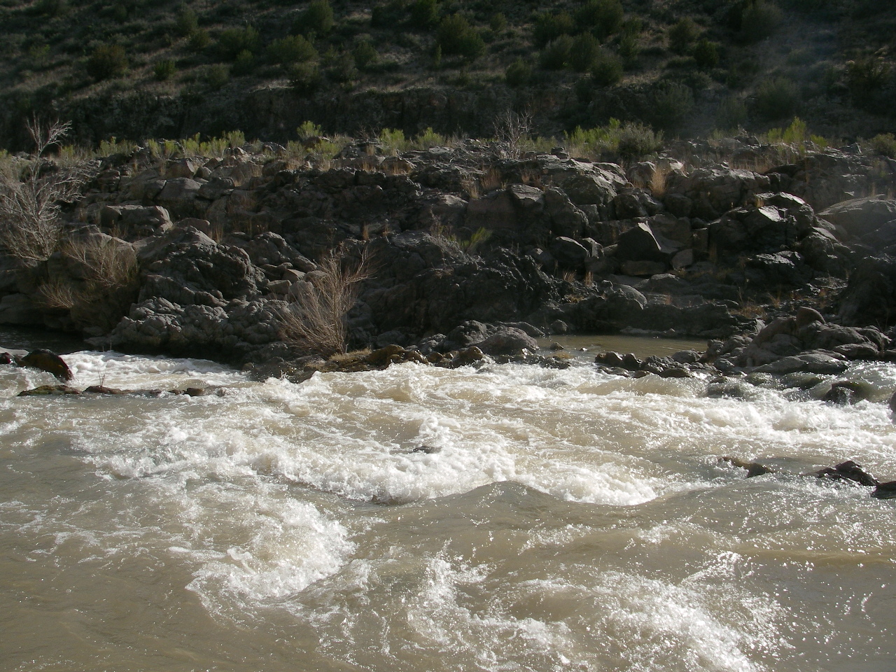
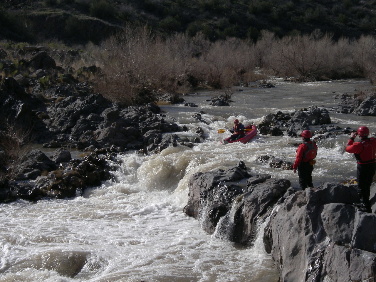
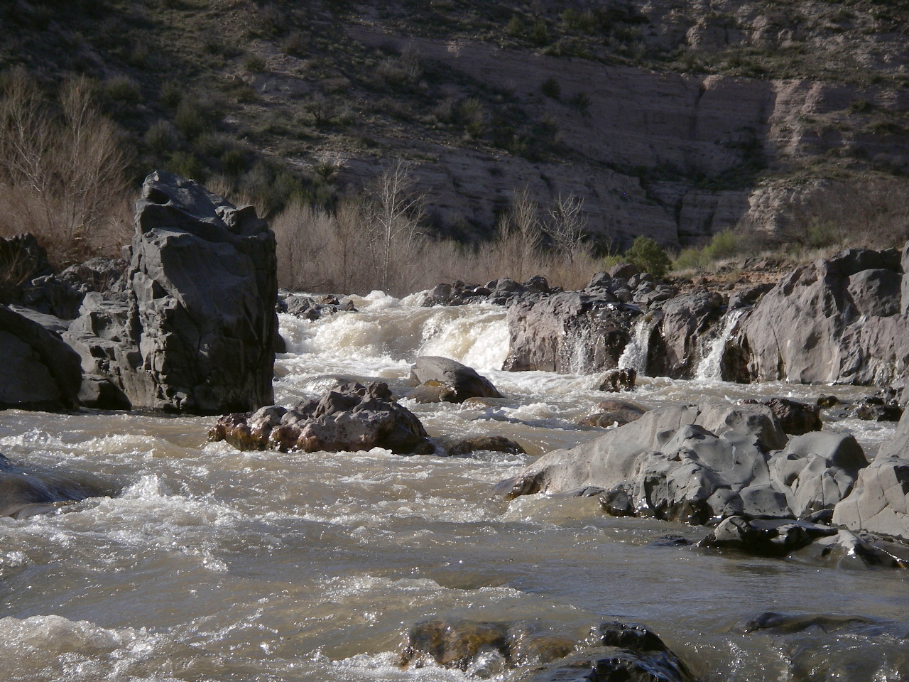
- 2.5
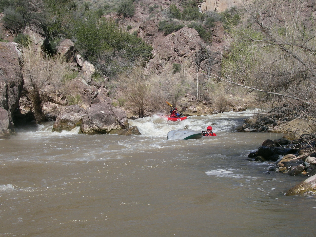
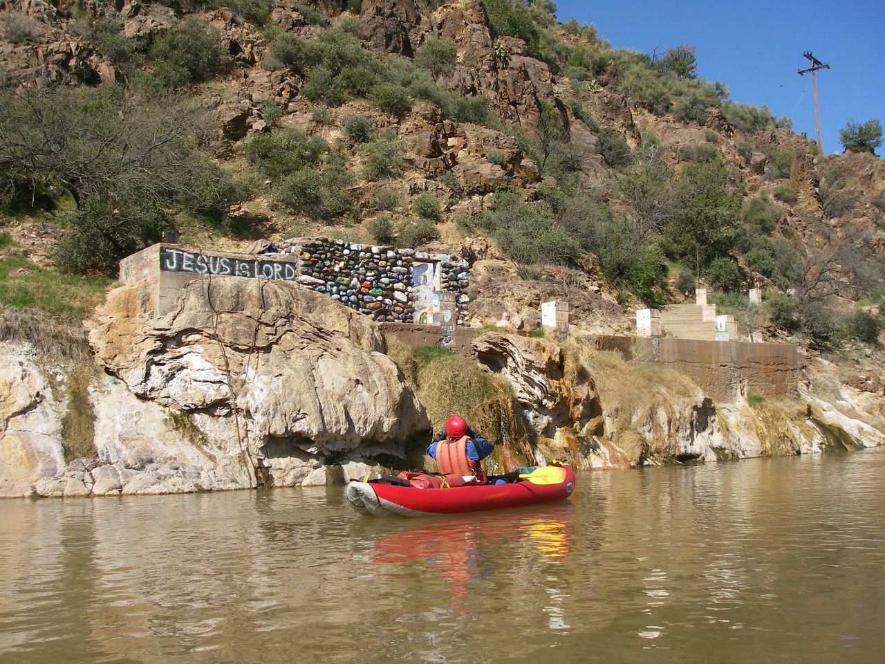
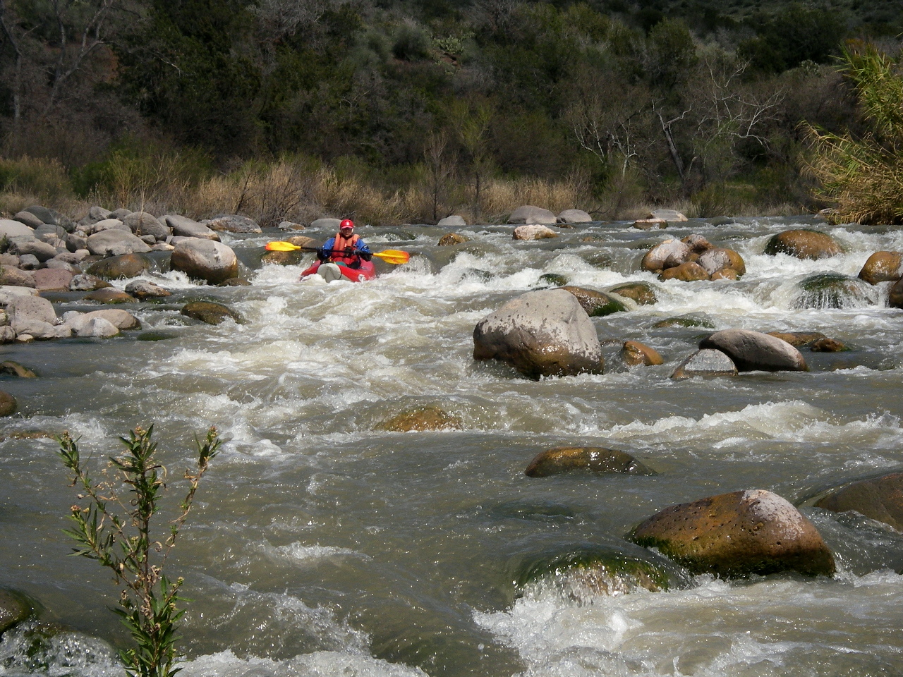
- Verde Falls, class IV, scout left
The no-stopping zone for eagle habitat starts just upstream,
but you must stop to scout or portage this rapid,
so the sign seems out of place.
Different guidebooks say the falls is either 5 feet or 8 feet high.
Both statements might be true at different water levels.
At ultra low flows the falls is too rocky to run.
At minimum recommended flows, far right is relatively straightforward.
As flow increases, alternate routes become available on the left.
At high flows (see YouTube videos) the holes are truly monstrous.
-
-
-
- 4.1
- Rock Garden rapid, a long series of moderate rock slaloms.
The no-stopping zone for eagle habitat ends shortly below this rapid.
A USFS recommended campsite is at mile 4.5 on the left.
-
- 4.8
- Palisades rapid.
The camp upstream has a flood zone, and grassy benches above,
lightly wooded with many pricker trees. The camp just downstream
of Palisades has a large sandy beach with grassy benches above.
It seems nicer unless you hate sand.
-
-
-
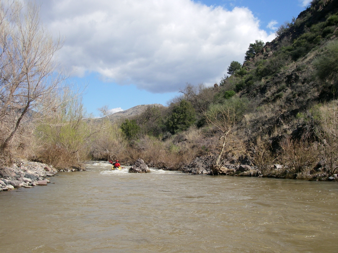
- 7.1
- Punk Rock rapid, AKA Turkey Gobbler, class III+
At low flows this rapid is very rocky, making it hard to work left.
At high flows the water moves strongly into a midstream trap rock.
Supposedly the scout is from the right bank, but from the top
this looks like any other generic class II rapid on the Verde.
If you neglect to stop and scout, just make sure to go far left.
-
- 8.1
- River access road, about .3 mile uphill from the river by trail.
When the water is up, local boaters take out here after a day run.
Gap Creek enters just downstream.
- 8.9
- The river enters Cedar Bench Wilderness on the right bank,
downstream of Bushman rapid and upstream of Big Pink rapid.
-
- 13.2
- End of Cedar Bench wilderness on the right bank.
Shortly downstream is the border between Prescott NF and Tonto NF.
- 15.9
- Old ranch house, made from river rock, on the right bank.
- 16.3
- Verde Hot Springs on the right. Above the developed soaking chambers,
you can see sidewalks and palm trees that were part of a hotel complex
built in the 1920s, which burned down in 1958.
- 17.1
- Childs Power Plant, soon followed by a river access point and campground.
Long but not terribly rough Forest Road 502 leads here.
Some boaters put in at Childs to enjoy the Mazatzal Wilderness,
although we enjoyed the upper river just as much.
-
- 17.7
- Mazatzal Wilderness begins just downstream of the power lines,
a ways upstream of Baby Snaggletooth.
- 20.8
- Fossil Creek enters on the left. A hard-to-find trail leads upstream.
-
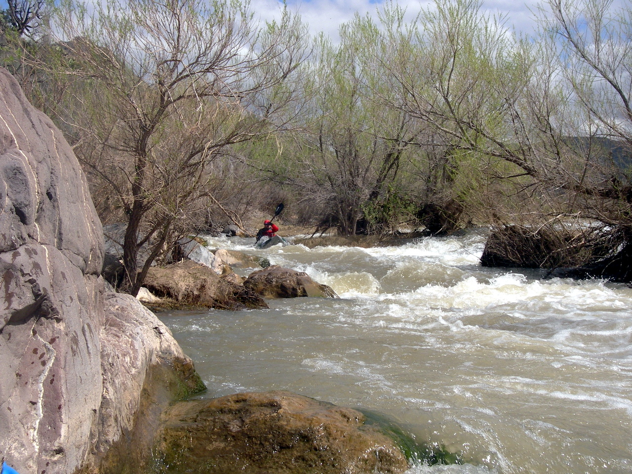
- 21.6
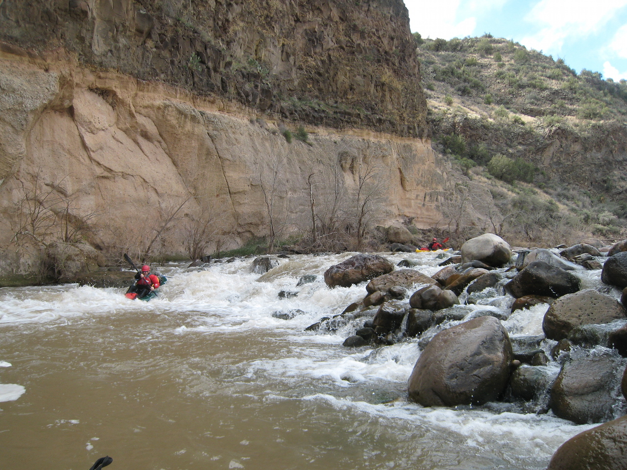
- Gnarly Rock Bar rapid, class III, possibly line right
Maybe the river changed, or we took the wrong (left) channel,
because this was the only class III we encountered below Childs.
It is not marked class III in the USFS pamphlet, though many others are.
One boater in our group took the right channel and said it wasn't
very easy, either: two class IV moves to avoid a pin and a headwall,
he said. The Verde must change a lot year-to-year.
-
- 22
- Large horseshoe bend to the south.
-
- 24.2
- East Fork Verde enters on the left, somewhat increasing the flow.
Trails lead up the East Fork, but it is a long ways to a road.
- 25.7
- Houston Creek enters on the right.
A trail leads 1.5 miles up this creek to a road.
- 27.5
- River gauge, supposedly “below Tangle Creek” although
Tangle Creek does not appear in the USFS pamphlet.
-
- 28.4
- Warm springs on the left bank.
- 32.3
- Canyon on the right where the river turns sharp left.
Trail 11 leads up this canyon.
-
- 34.5
- The river starts its large Mule Shoe Bend, coming back to nearly
the same point after three miles.
- 38.1
- Black Bluffs ahead. The river then bends right towards Table Mountain.
Many good campsites in this section.
-
- 40.5
- After a beautiful slickrock cliff, Red Creek enters on the right.
An airfield, surrounded by Saguaro, is a short distance up this creek.
On the Verde, Red Creek rapid is just downstream.
The Wild & Scenic river section ends at Red Creek,
as does Mazatzal Wilderness on the right, although wilderness continues
on the left and resumes in half a mile on the right.
-
- 50.5
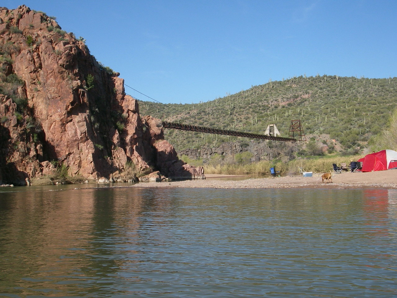
- Sheep Bridge, not for vehicles, but permits trail crossings.
River access by means of a rough dirt road, suitable only for
high-clearance vehicles. This is a popular 4WD camping spot.
Mazatzal Wilderness ended more than a mile upstream,
although good scenery continues unabated.
- 51.5
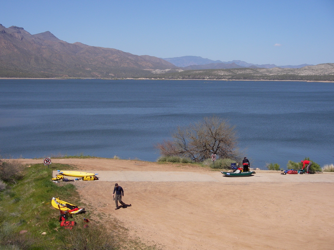
- Nominal beginning of Horseshoe Reservoir, but in early season,
the reservoir level is low enough to permit several miles of flow.
Good scenery continues for quite a distance. Eventually
the channel passes through dead trees, then enters a large pond
that had a fierce headwind – from the south! –
when we crossed it.
-
A camp-oriented trip report is available
here.
Shuttle directions are in the Cross/Cassady/Calhoun book Western Whitewater.
|
|
Creeks Navigation
Home
Recommended Runs
Map of Rivers
Alphabetic Index
Alphabetic Table
Text Search
Sponsored Links
|