Trinity River from Hayden Flat to Cedar Flat


Stretch: Hayden Flat campground to Cedar Flat river access
Difficulty: Class II+ with some III-
Distance: 6.7 miles, 1 short day
Flows: rafts 800 - 5000, kayaks 500 - 5000, IK minimum 400
Gauge: interpolate flows at Douglas City (DGC) and Hoopa (HPA)
Gradient: 19 fpm average, pool and drop
Put-in: USFS campground at Hayden Flat, 1110'
Take-out: right bank before highway 299 bridge, 980'
Shuttle: 7 miles (10 minutes) one-way
Maps: USFS Trinity NF, AAA North California, nice PDF map, Topo
Season: year round, from dam release and snowmelt
Agency: USFS, private
Notes: © 1998 Bill Tuthill, CreeksYahoo, thanks to David Elliott

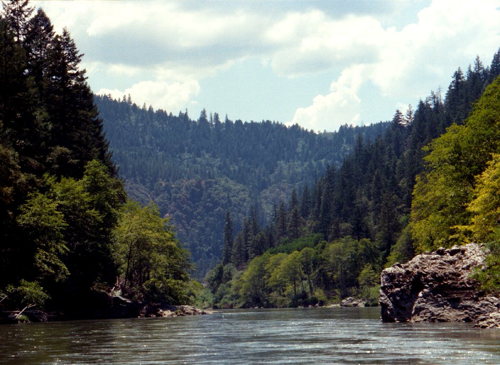
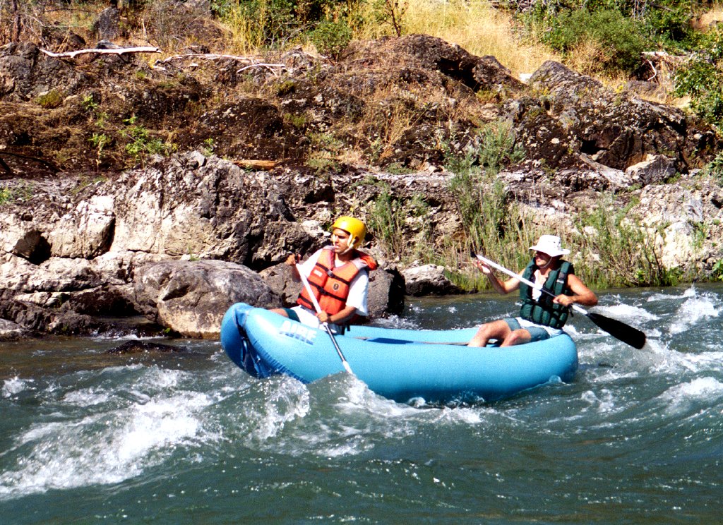
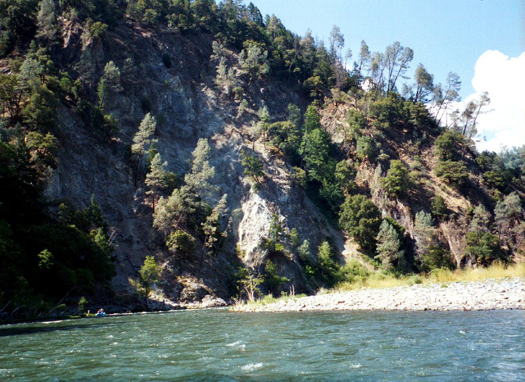
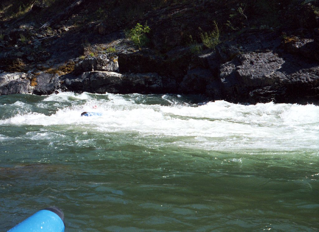
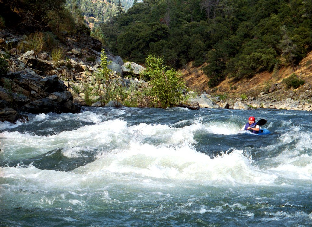
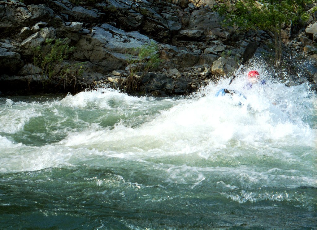
This is one of the best class II to III transition runs in California, although it is neither widely known nor often boated. Flows fluctuate seasonally, but the Trinity runs all year long, and its water is clear and clean, even turning warm in summertime.

Here is the latest Flow Schedule for Lewiston Dam releases.

From the north fork confluence to Big Flat, the Trinity is class III with one class IV- rapid, as described in Trinity Pigeon Point. Between Big Flat and Hayden Flat, highway 299 closely follows the Trinity. Rapids are mostly class II, often with long stretches of flatwater in between. Combined with this run, that stretch makes a good marathon paddling session. The section from Big Flat to French Bar is pleasant, with many good class II and II+ rapids to make it worthwhile. The section from French Bar to Hayden Flat contains a class II+ rapid and supposedly a cave (we have not seen it) just below put-in, but the remainder of the run is boring.

Below Hayden Flat, the canyon deepens, and the road is often hidden by trees. Rapids are closer together, and several of them verge on class III, with hydraulic features more than one meter tall. Lengthwise, inflatable kayaks can handle large hydraulics, but sideways they cannot, so remember the adage, “when in doubt, straighten out!”

mile
0
Put in at the river access across highway 299 from Hayden Flat campground, or to lengthen the run, at any convenient point upstream.
Trinity River above Cedar Flat CA Trinity River above Cedar Flat CA
Morning overcast is common here Typical class II action
1
Tony's Point on the left, as the river cuts thru a rocky gorge. In the second half of a left turn around the bend, two notable rapids occur in quick succession.
Trinity River above Cedar Flat CA Trinity River above Cedar Flat CA
Rugged countryside along the river Kayaker buried in a deep hole!
5.9
footbridge, or remains of a footbridge
6.4
Don Juan Point on the left. Just after the river make a sharp right turn, a notable rapid occurs.
Trinity River above Cedar Flat CA Trinity River above Cedar Flat CA
Entering Don Juan rapid Staying upright in one of the big waves
6.7
Take out at Cedar Flat on the right bank. Highway 299 crosses the river on a high bridge just downstream. If you miss Cedar Flat, you can take out on the left just below the bridge. Downstream 1.5 mile is China Slide dump, less unpleasant now than in past years, and the last possible take-out before Burnt Ranch Gorge (class V).
To reach take-out, drive west from Redding on highway 299 about 89 miles to the Cedar Flat river access. If you cross a bridge to the left bank of the Trinity river and start climbing uphill, you have gone too far. west of the the USFS campground.

To reach put-in from there, drive upstream about 7 miles to the Hayden Flat USFS campground, and park along the road or downhill. If you reach the hamlet of Del Loma you have gone too far.

There are many other good access points upstream, for example (moving up) French Bar 3.4 miles upriver, White's Bar picnic area 6.6 miles upriver, and Big Bar ranger station 8.9 miles upriver. The French Bar alternative is excellent because it gives you a notable rapid just below French Creek, and a mile of river well away from highway 299.


 Creeks Navigation

 Home
 Recommended Runs
 Map of Rivers
 Alphabetic Index
 Alphabetic Table
 Text Search

 Sponsored Links