|
Big Sulphur Creek near Cloverdale |
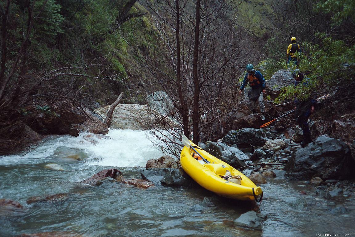
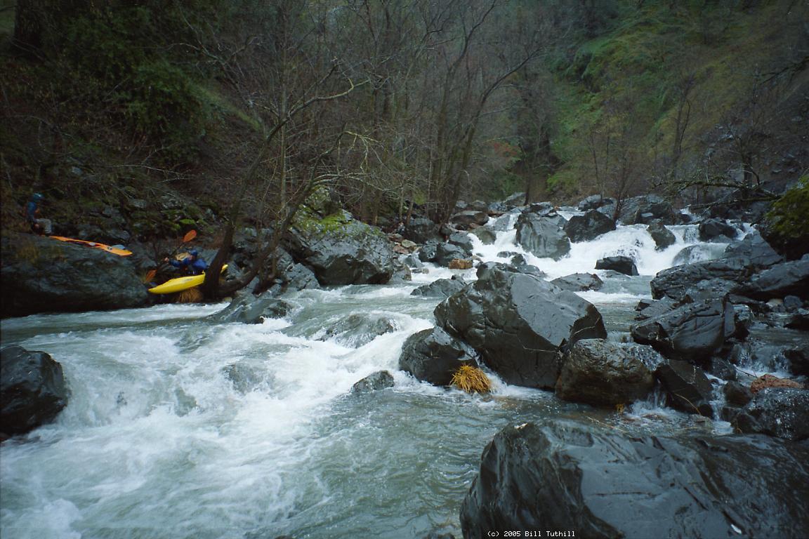
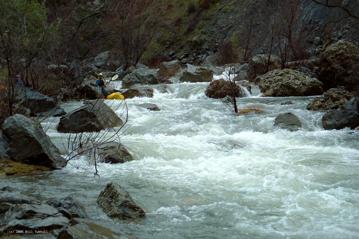
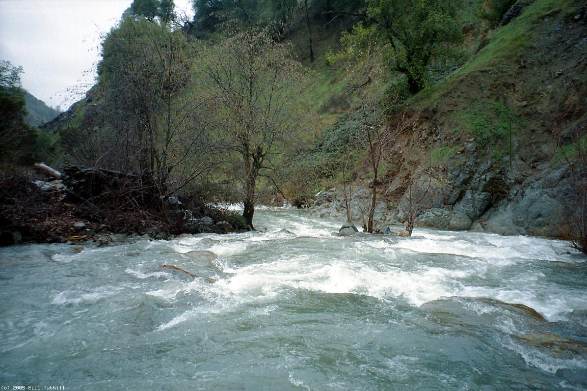
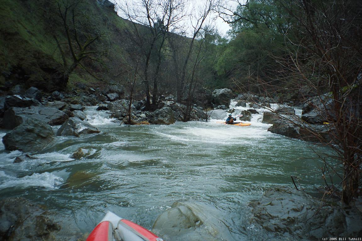
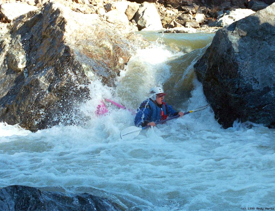
There are two distinct runs on Big Sulphur Creek for advanced boaters, and one more intermediate run that is seldom boated. Almost all the upper run has pleasantly clear water, with a faint smell of sulphur especially near the beginning, hence the name. Shortly above the iron bridge, Squaw Creek comes in on the right, adding mud. The intermediate run immediately downstream, and the advanced run below the Little Sulphur confluence, get increasingly muddy. The Holbek book gives good descriptions of an upper and a lower run. One problem is that if you arrive as Holbek recommends, with the Russian at Hopland between 3000 cfs and 10000 cfs, Big Sulphur Creek will probably look too high to run. It is better to arrive after a minor rainstorm. Flows on the lower run are at least 50% higher than on the upper run. During periods when the USGS gauge on Big Sulphur is broken, the lower run can be estimated as similar to Putah Creek near Guenoc (PCG), and the upper run as similar to the nearby Napa River at St. Helena (STH). With waterfalls in a secluded canyon, the upper section makes a much better (and more challenging) run. It could be combined with the lower run for a long day, but a major tributary (Squaw Creek) enters above the iron bridge, causing the lower run to have optimum flows about a day after the upper run. Another nice thing about the upper run is that access points are uncontested, with no Posted signs at put-in, and a bridge right-of-way at take-out. Holbek's lower run includes about 5 miles of class II-III, which is the seldom-boated intermediate run I'm talking about. There used to be a class IV-V rapid immediately below the iron bridge, but for some odd reason it has disappeared (2005). For the lower run, most advanced boaters put in way downstream, about a mile below the Little Sulphur confluence, disregarding the No Trespassing signs (dedicated shuttle driver recommended). If you paddle all the way to the Russian river valley, there is a semi-mandatory portage around a class V+ rockslide rapid. Many advanced boaters take out just upstream of this mess, again disregarding the No Trespassing signs.
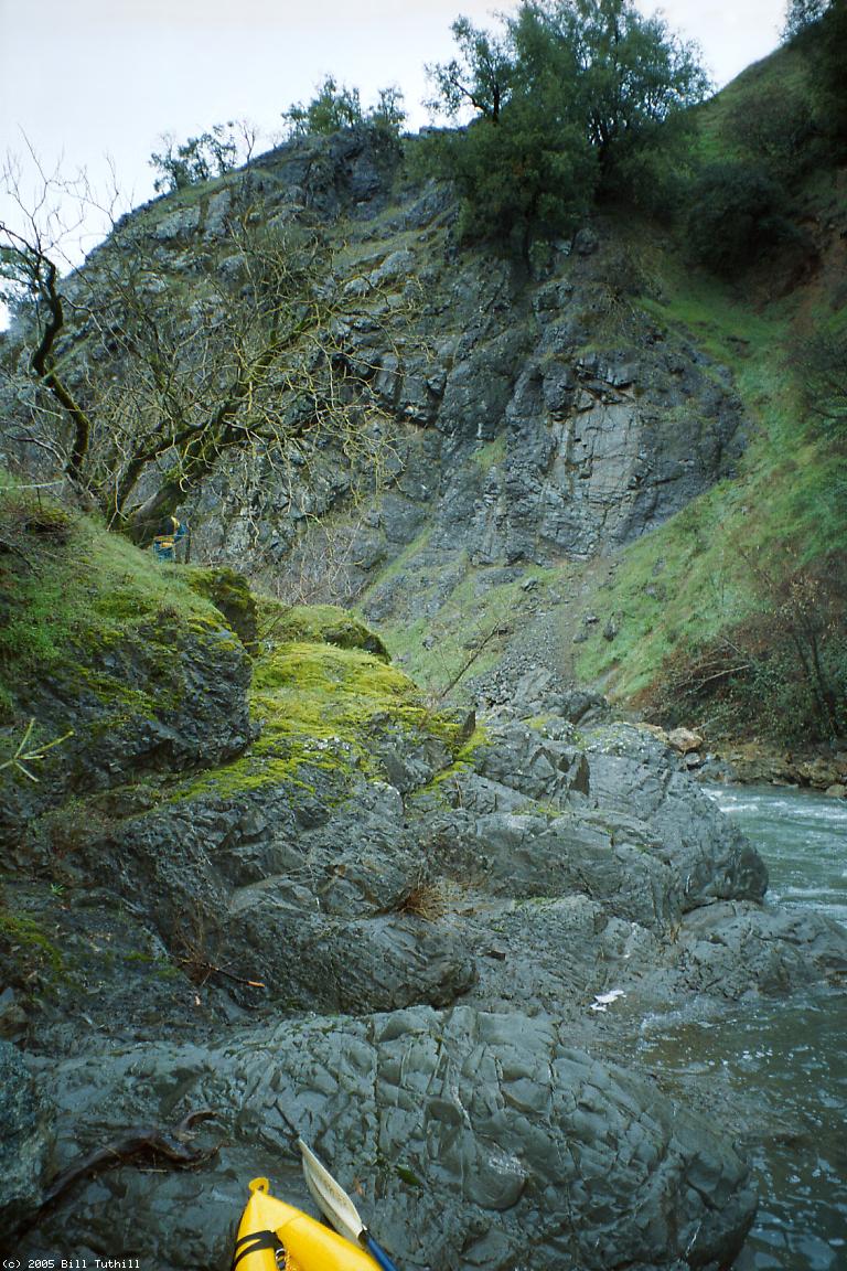
Upper RunDrive upstream until you see the Geysers gatehouse, then do a U turn. It is not necessary to talk to a person, if any, sitting in the gatehouse. Park within sight of the gatehouse, and just before the road goes uphill. There are traces of an old dirt road near the low-point. Follow this old road for a short distance, then veer right down a bank to the creek. Although Holbek says the gradient steepens at .3 mile, it seemed to me more like a half mile to the first big rapid, which was unrunnable due to logs jammed in the main drop (2005). Some of us portaged high on the right, others at river level on the left, running a short section between two very steep drop-complexes. Despite the gradient the rapids ease for a short time. Then at a blind left bend into a deep mossy canyon, you have a choice of fast water on the right leading to some big drops, or slower water on the left leading to a possible portage of the big falls. We got back on the water below the falls and it was still class IV for a bit. After this the creek becomes fun class III all the way to take-out.
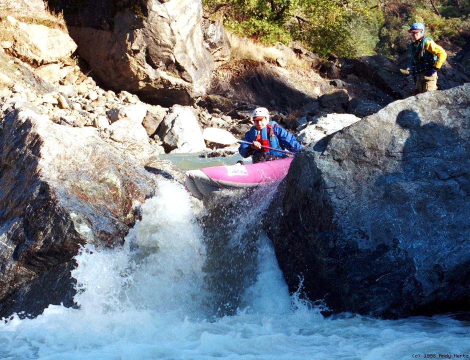
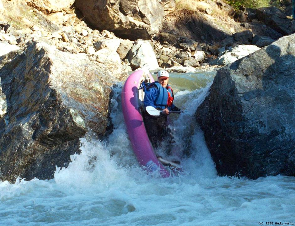
Lower RunWith the unstable rockslide geology in this area, rapids often change radically from year to year, so be on your toes and scout everything you cannot see from your boat or have not noted from the shuttle road. There are several funky rapids in this section that appear to have life-threatening strainers, although it's hard to tell with the muddy water.
For shuttle directions and river descriptions, see the Holbek book.
|
Creeks NavigationHomeRecommended Runs Map of Rivers Alphabetic Index Alphabetic Table Text Search
Sponsored Links
|