|
San Antonio above Fort Hunter Liggett |
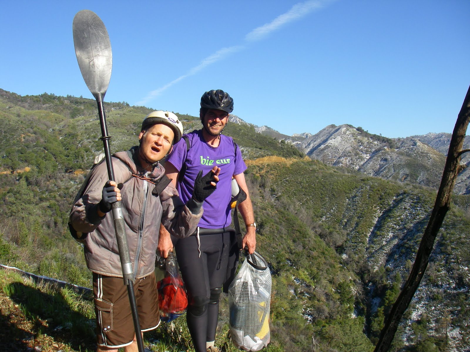
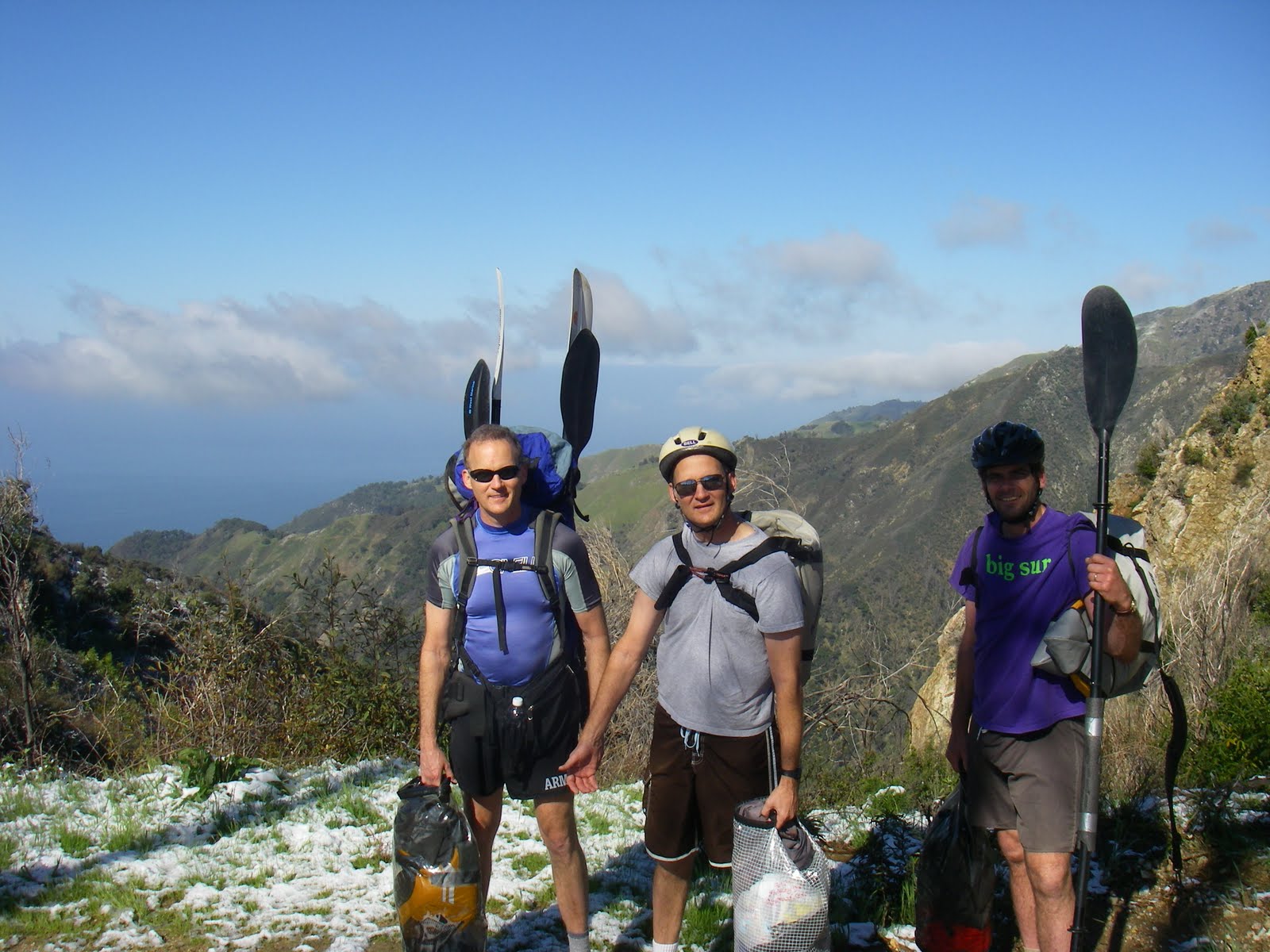
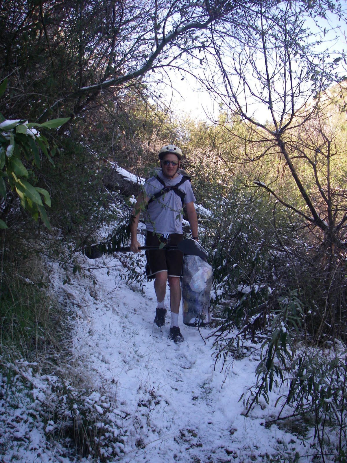
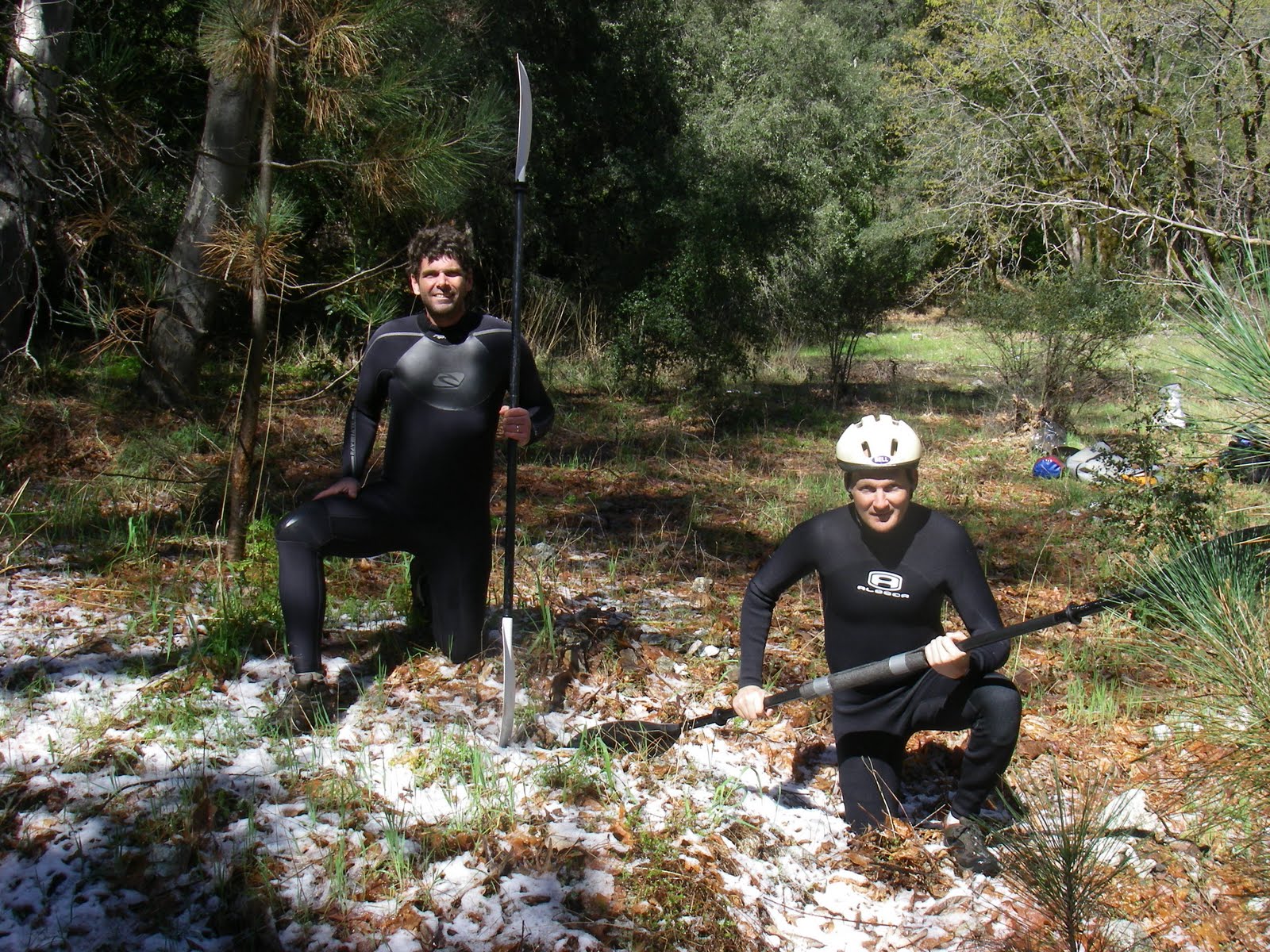
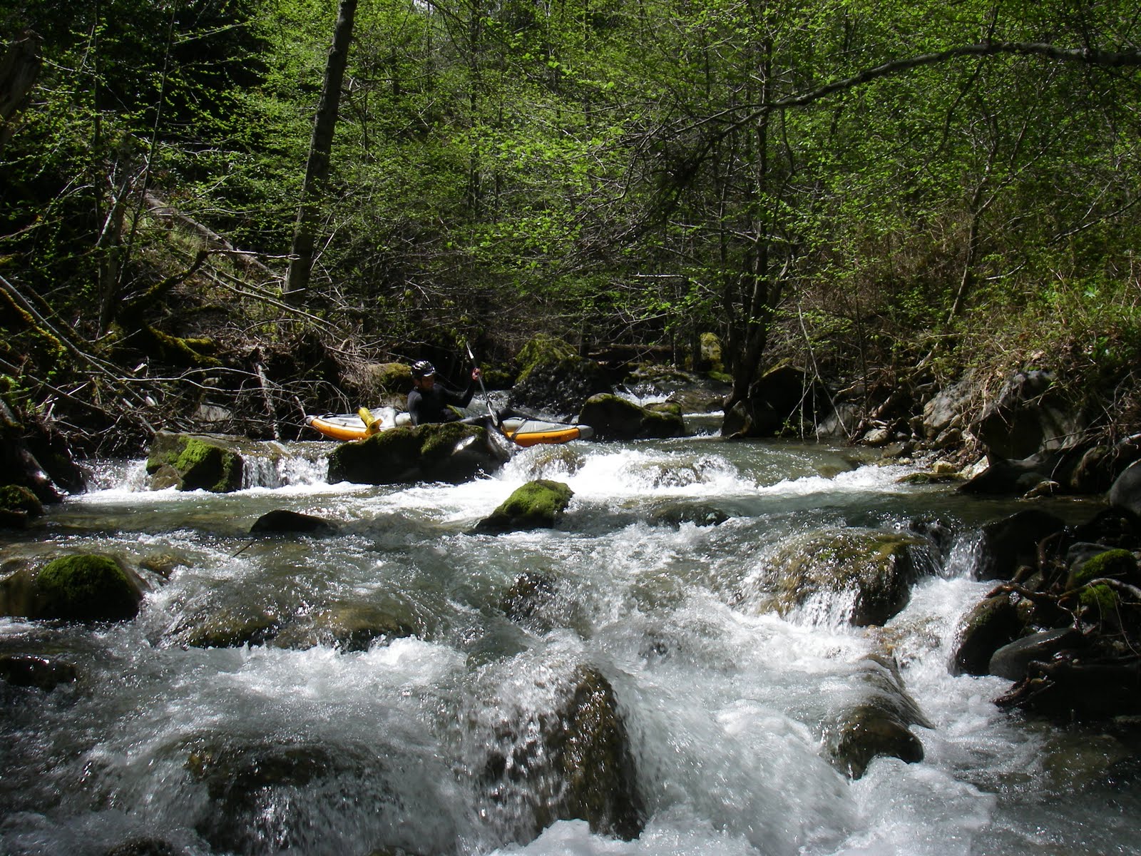
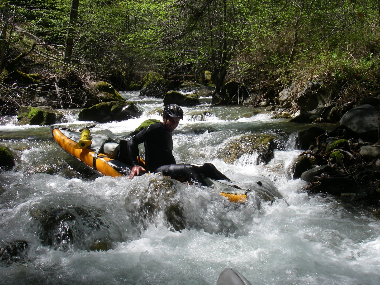
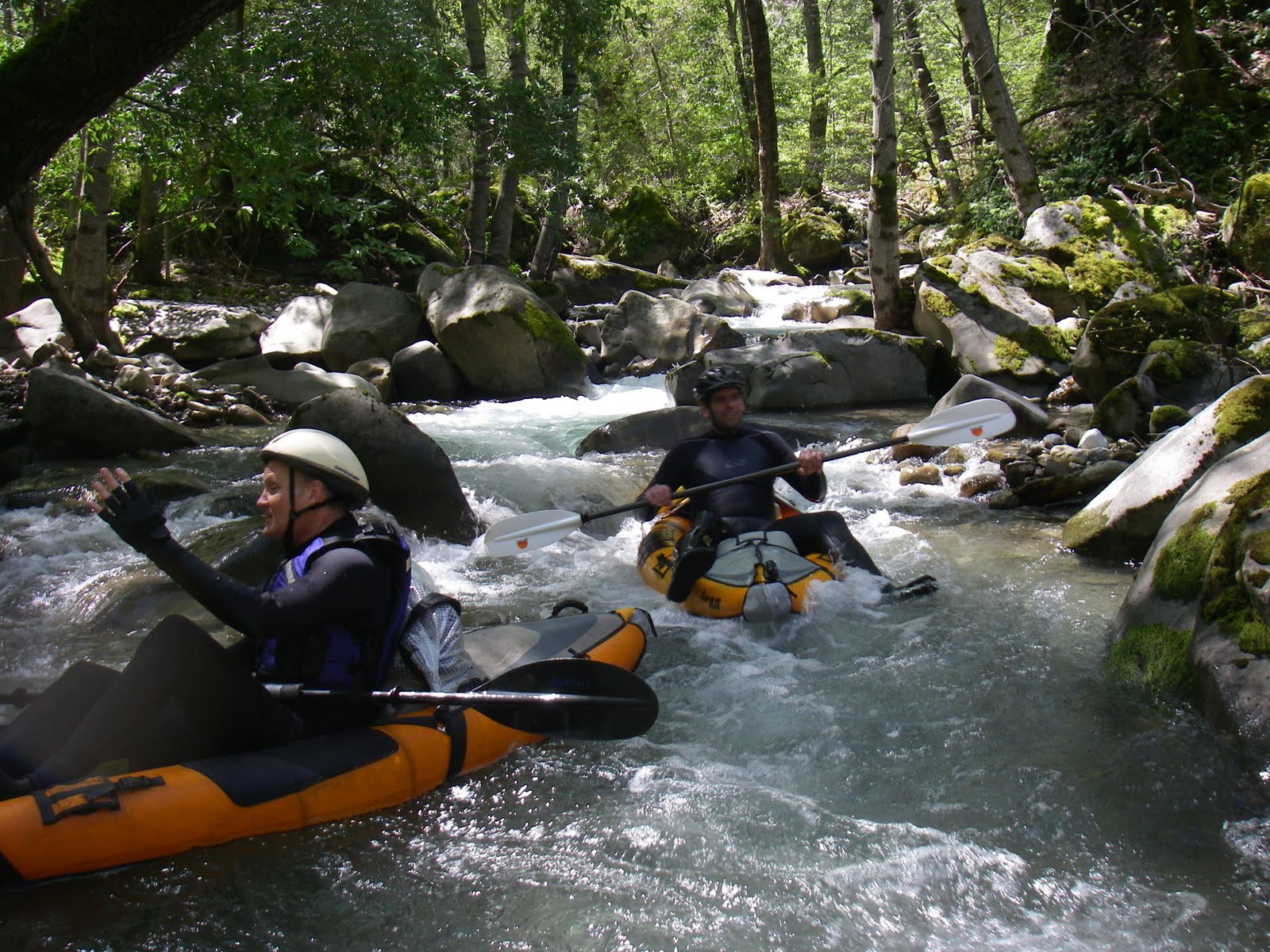
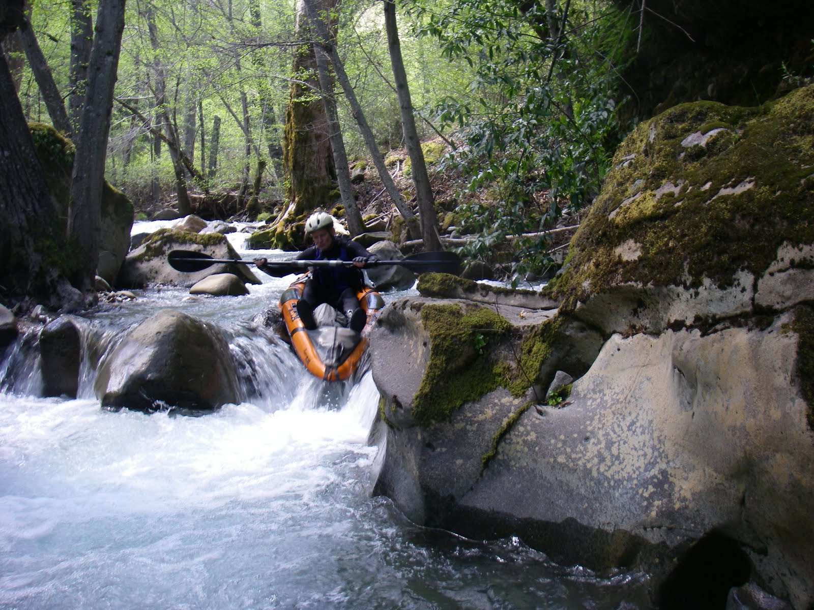
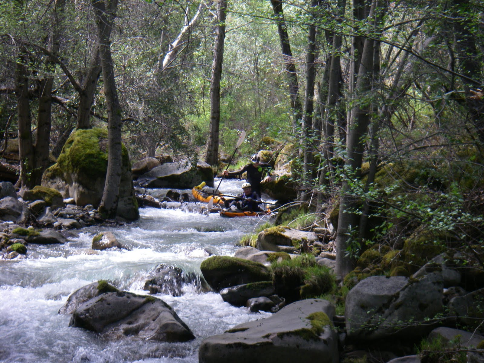
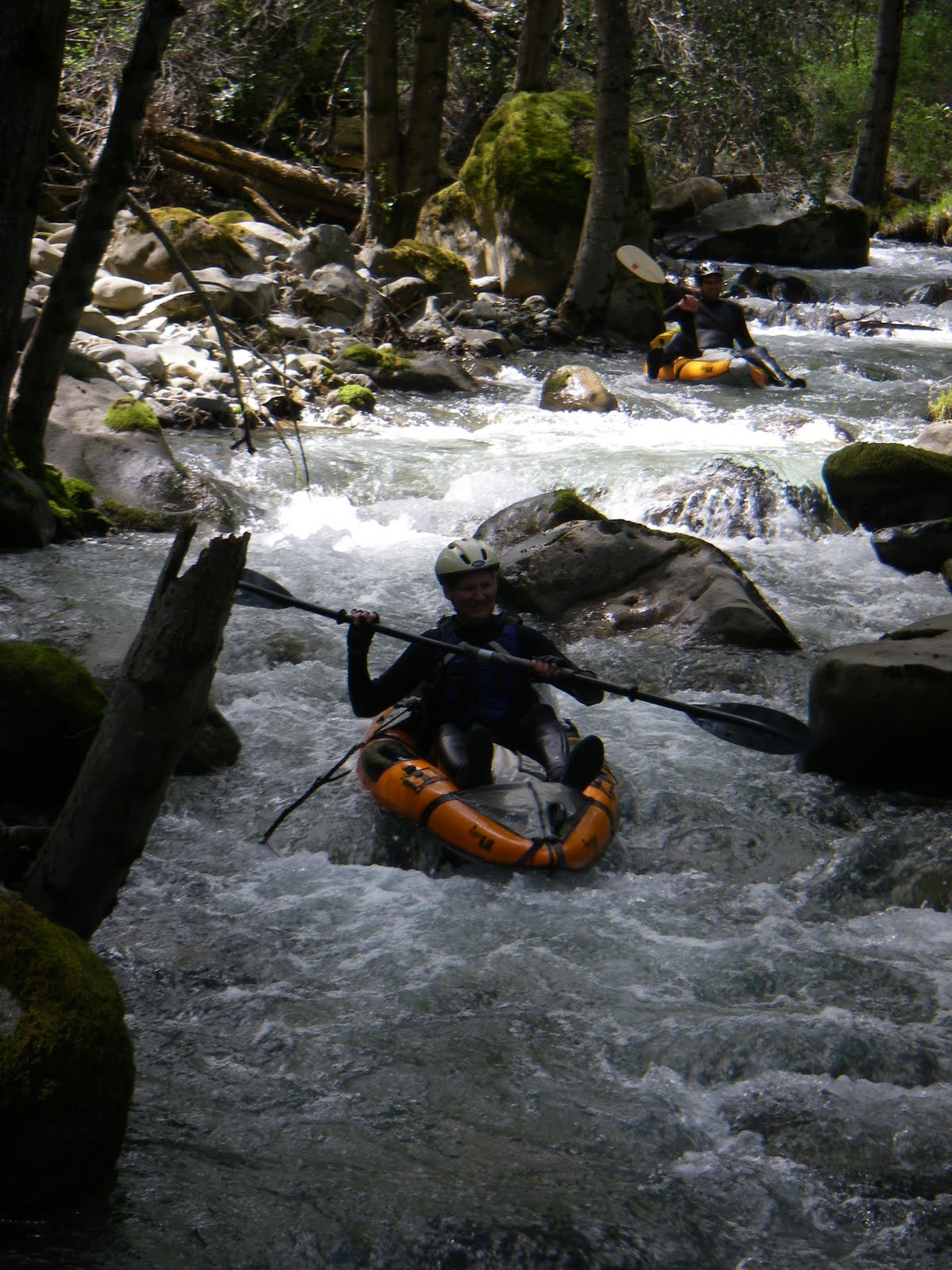
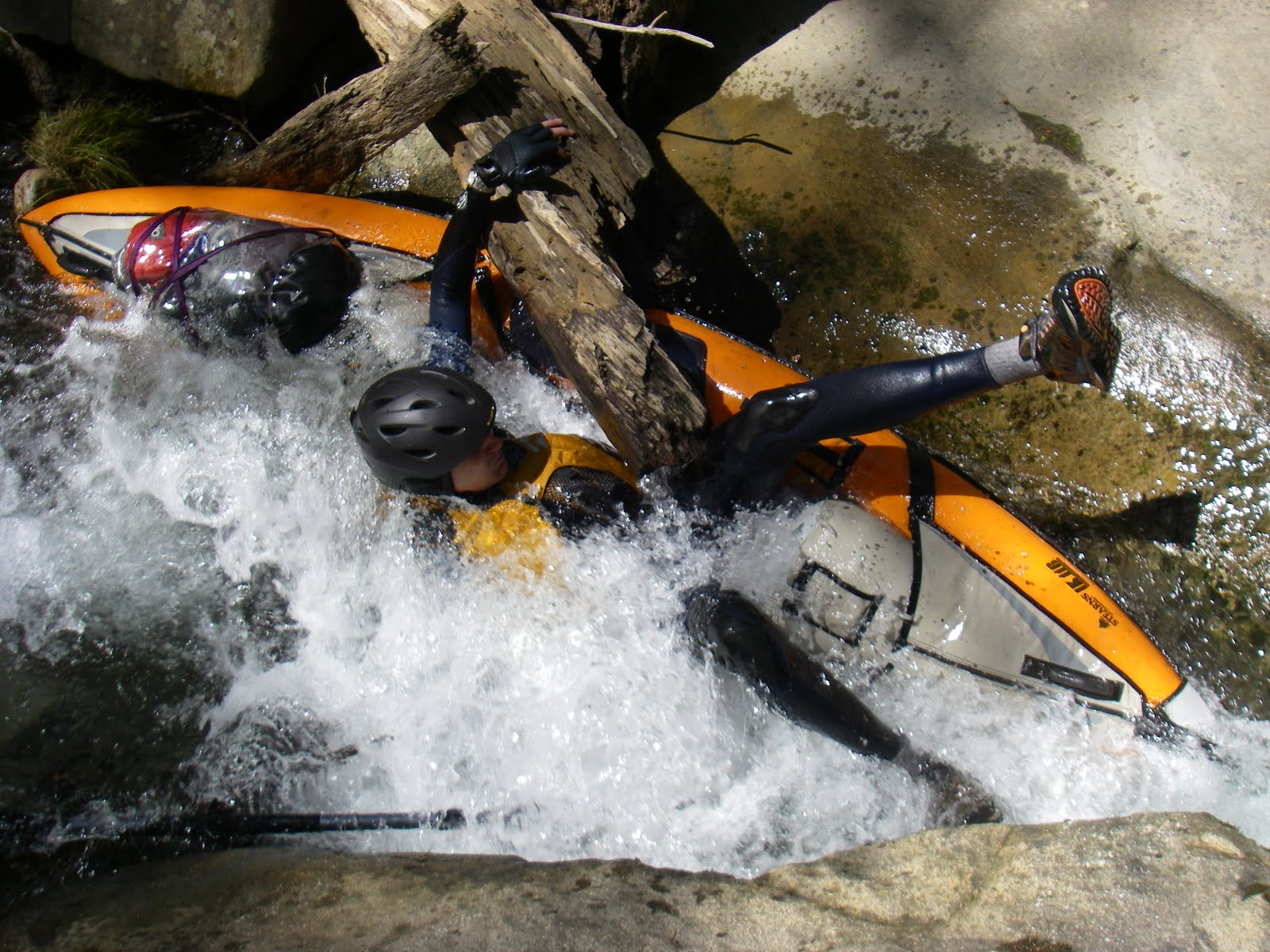
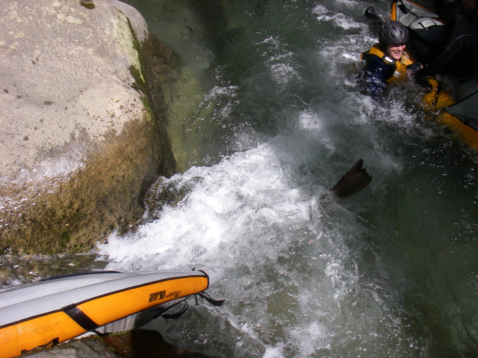
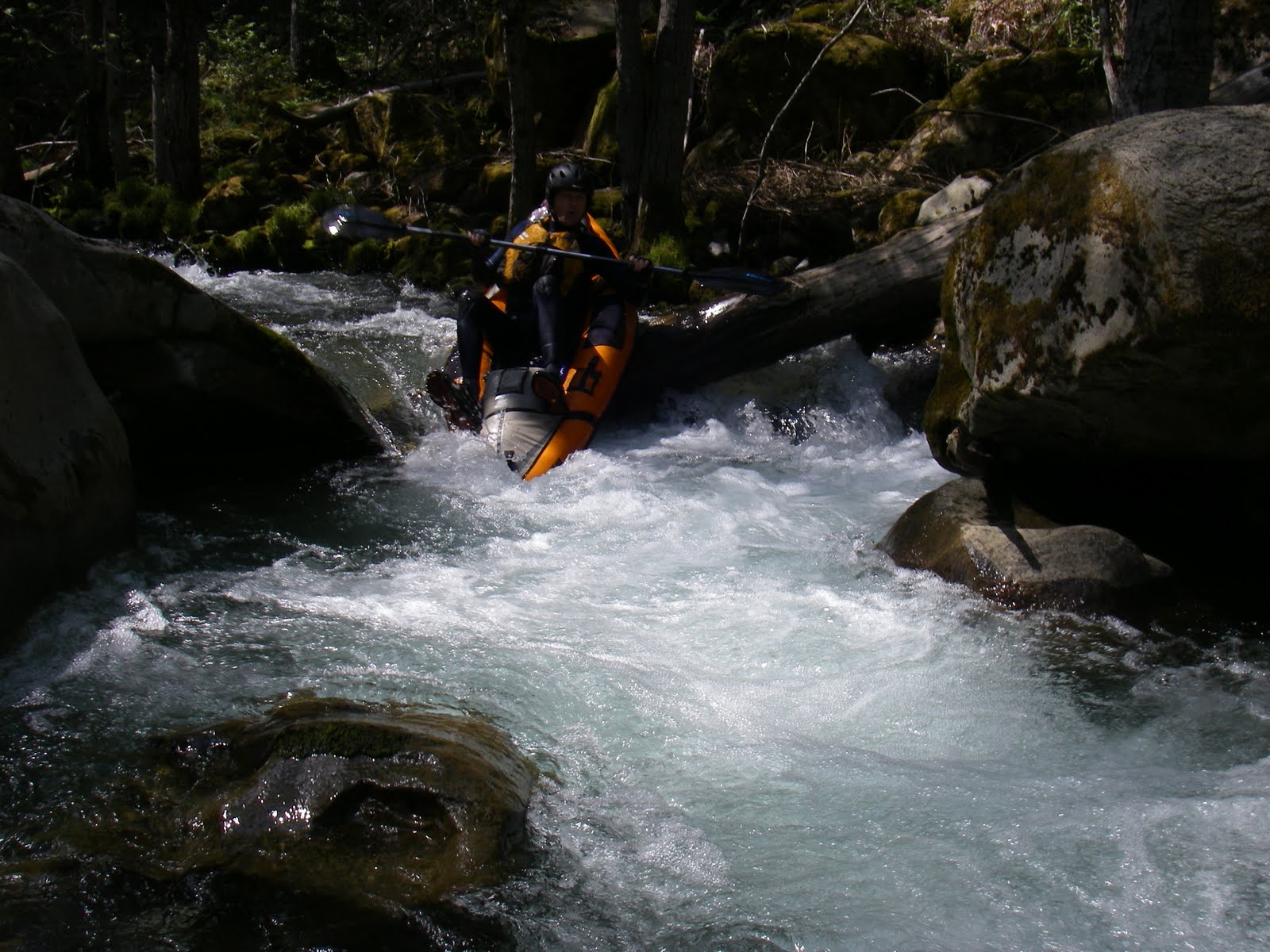
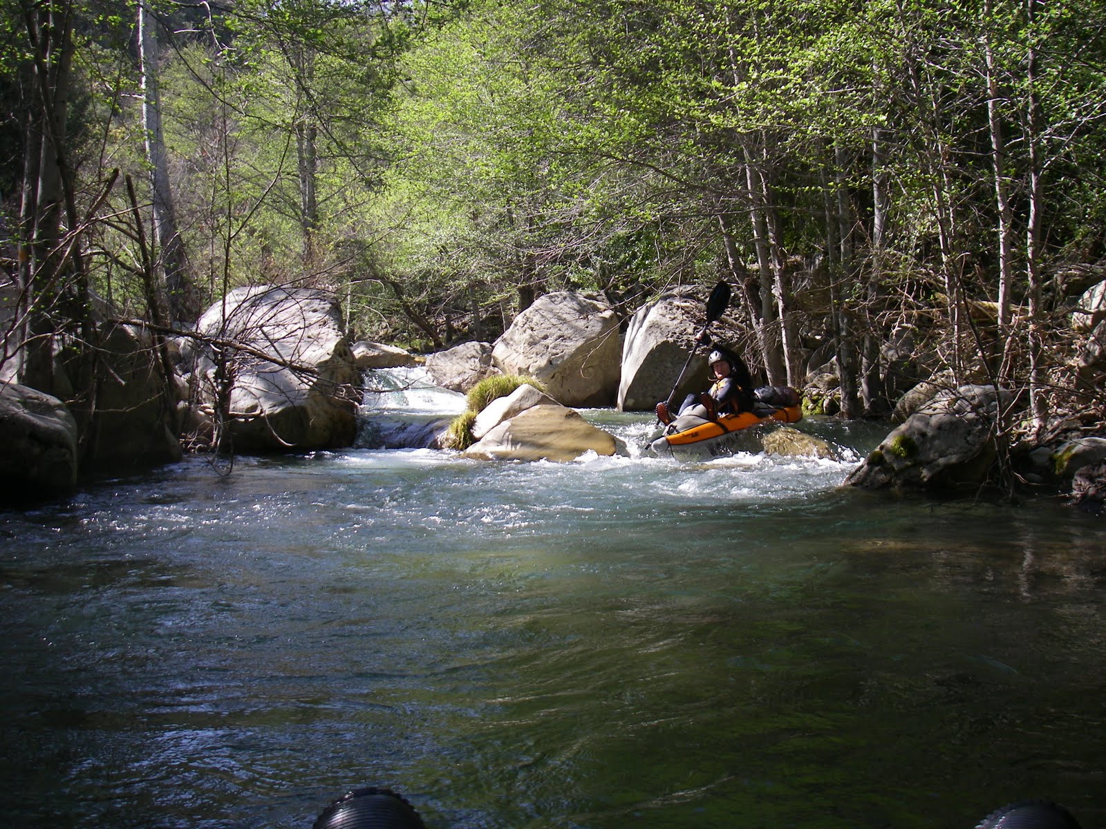
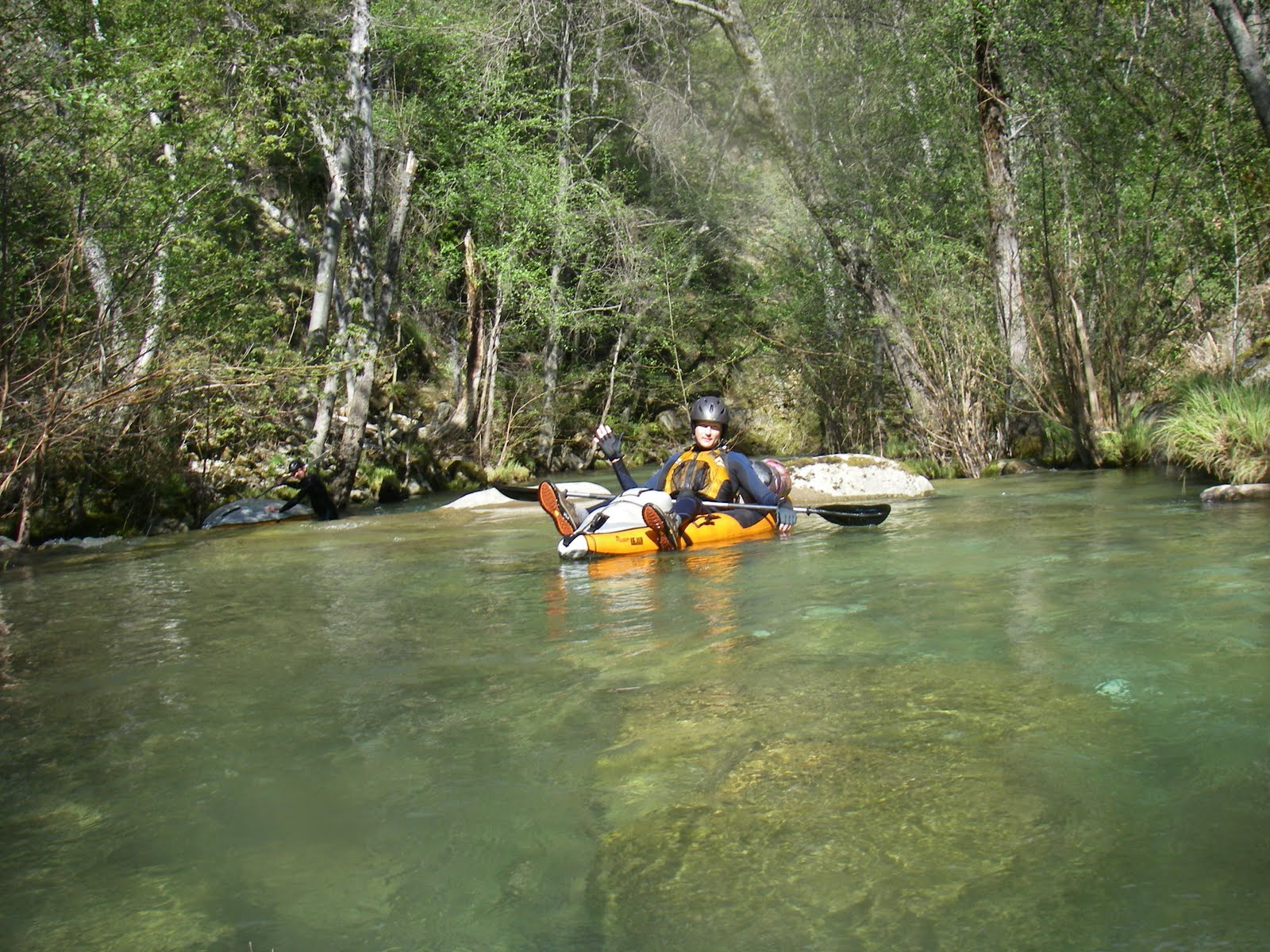
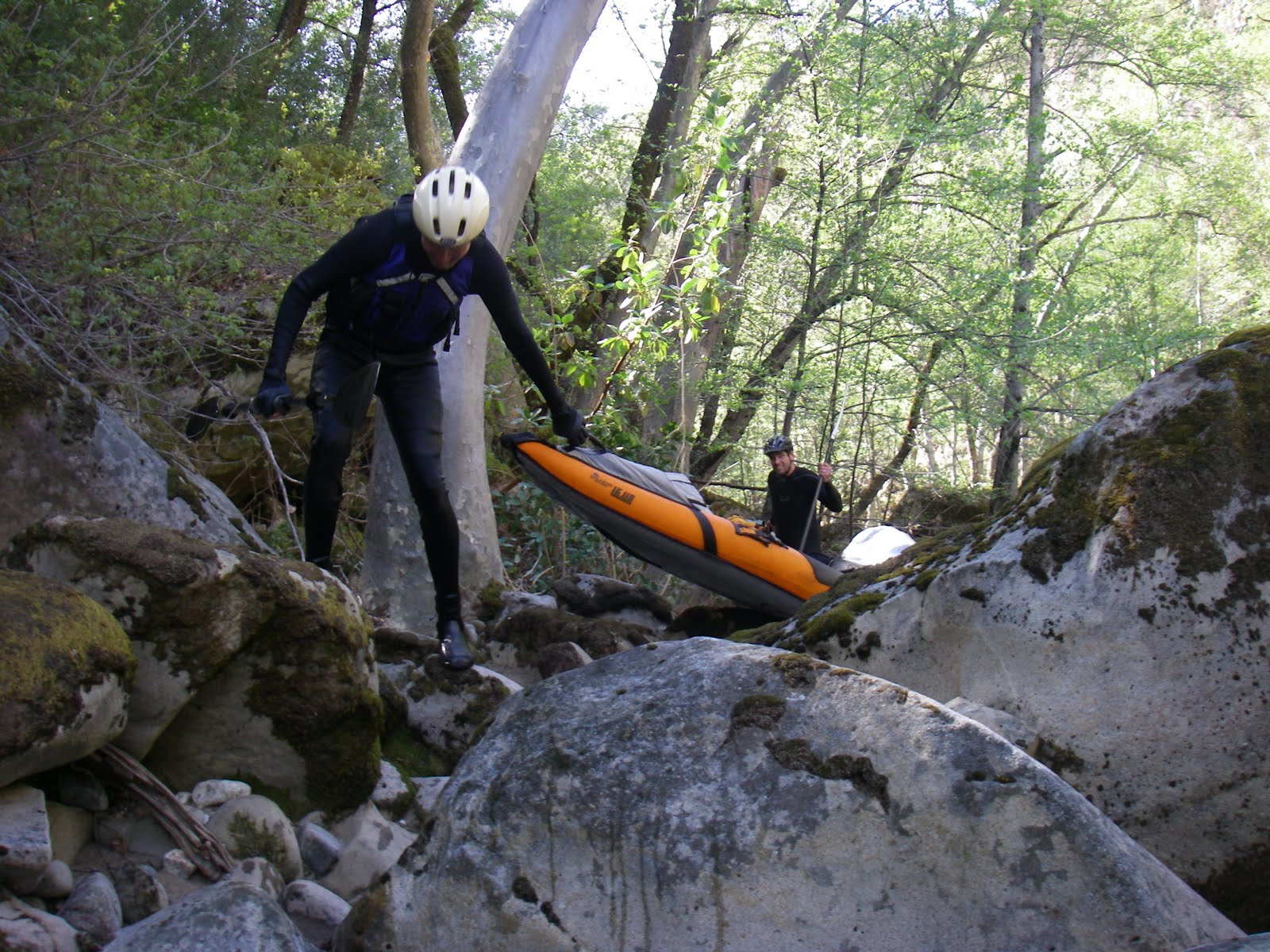
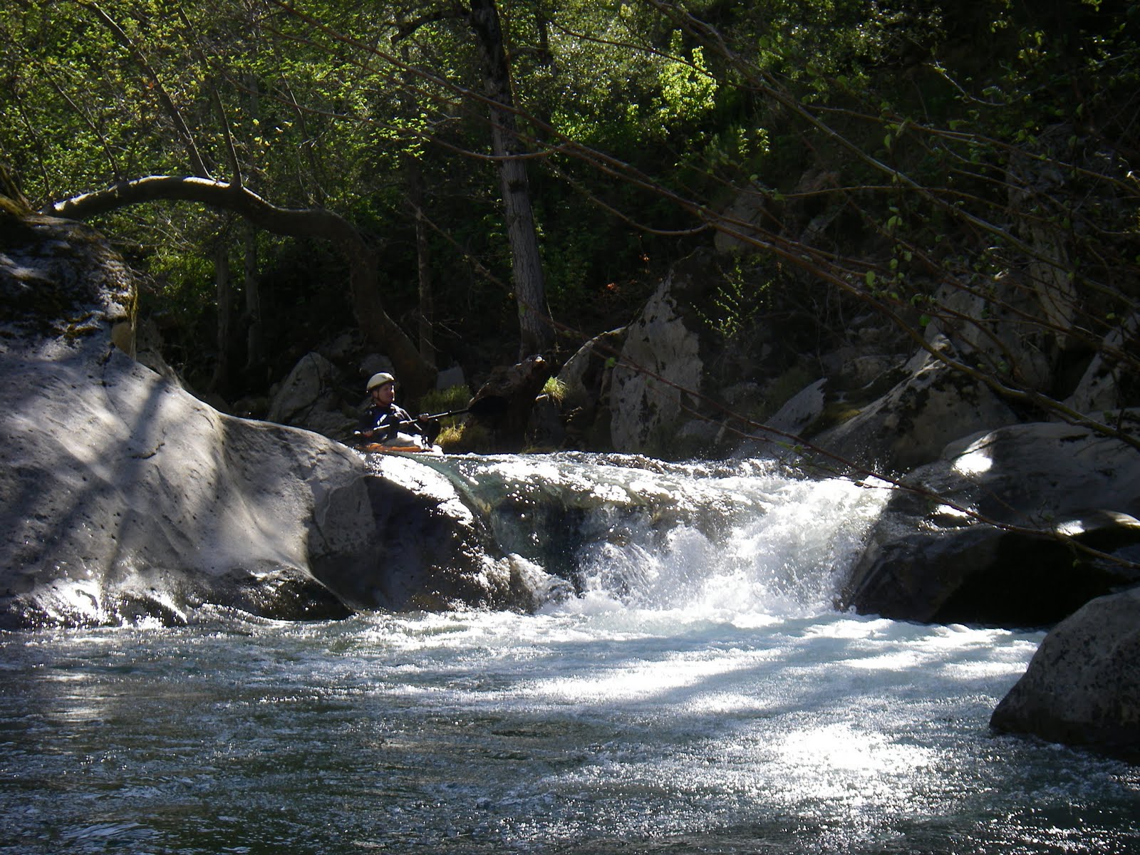
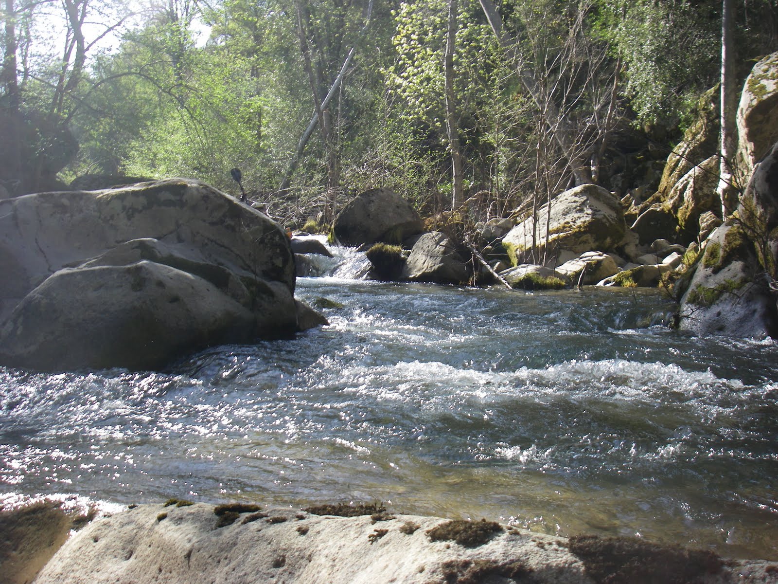
We (David Erlach, Robert Erlach, and Jon Doelman) might have bagged a first descent on the San Antonio River from Fresno camp to Venturi Road! Friday night we camped at take-out, the upper Del Venturi road river crossing. My comrades seemed to have no anxiety about making it out by nightfall. On Saturday we drove up to the top of Nacimiento-Ferguson road and cooked up some eggs and hot-chocolate. I wasn't too happy about delaying our departure but was over-ruled. There was a fresh coating of about 1 inch of snow. After hiking the 5 miles to the San Antonio trailhead and the 1.5 miles down the San Antonio trail we reached the river at Fresno camp. At Fresno camp the snow only remained in the shady areas but we tried to get it into some photos. Unfortunately I don't think we got any photos of creekin with snow along the banks. We encountered a lot of poison oak stems along the way. The river looked to be dryer than expected. I visited Fresno camp on Saturday 19 March 2011 to reconnoiter the put-in spot. On that day it was storming heavily. I noted the water depth as being marginally high enough and made a mental note that I would not attempt the trip unless the water was higher its level at 2:00 PM that day. Prior to our departure day I looked at the real-time USGS river gauge online info and found that when I was there in March, the flow had been only 125-150 cfs, and the day we were putting in the water was 300 so I thought it would be OK. In retrospect, it seems that the water flow during the immediate March storm might have resulted in a disproportionately high flow at Fresno camp (or a lag) relative to what was measured at the gauge. We got into the water at Fresno camp around 11:00 AM. The low flow did not make for easy kayaking along the river between Fresno camp and Salsipuedes Creek. We stopped by the Casey stone house above Salsipuedes Creek. This is an abandoned building (or shack) out there along the river with a nice picnic table. Below Salsipuedes Creek the flow was more but the river was heavily boulder-strewn. The section of river for the next 4 hours was difficult to kayak because of the boulders. Eventually the river gets to be easily kayakable, one or two miles upstream of Merle ranch. The river is very beautiful in this section. At 8:00 PM, we ran out of daylight about one mile upstream of the Del Venturi road low-water crossing. We dragged our kayaks to Del Venturi road, and walked the last 1.2 miles along the road to our car. It was a fine adventure even if it was a difficult kayak trip!
Below upper Del Venturi river crossing is the traditional run described in Dick Schwind's 1974 guidebook. Advance permission from Fort Hunter Liggett (probably by writing) is required, otherwise military police will chase you off when you park at take-out. The river is class I-II with many willows lining or blocking the channel, and occasional artillery practice along the banks.
Shuttle DirectionsTo reach put-in: Drive your vehicle to the summit of Nacimiento-Ferguson road and park. The Cone Peak road (FS 22S05) is gated at the summit. Hike on this road about five miles north to the San Antonio trailhead, where a path heads 1.5 miles steeply downhill to Fresno campsite.
|
Creeks NavigationHomeRecommended Runs Map of Rivers Alphabetic Index Alphabetic Table Text Search
Sponsored Links
|