| |
| Stretch: |
Highway 60 bridge to highway 288 bridge |
| Difficulty: |
Class II-III with maybe four class IV rapids |
| Distance: |
52.7 or 53.4 miles, four to six days |
| Flows: |
rafts and kayaks 600 - 3000 cfs, IK minimum 300 cfs
|
| Gauge: |
near Chrysotile at put-in, where you start on the daily low
(USGS) |
| Gradient: |
22 fpm average, steeper between miles 0-9 and 21-35 |
| Put-in: |
upstream or downstream of highway 60/77 bridge, 3350' |
| Take-out: |
river left just below highway 288 bridge, 2180' |
| Shuttle: |
64.8 miles (1.5 hours) one way, shuttle driver recommended |
| Maps: |
USFS map based on satellite images, AAA Arizona
(Topo)
|
| Season: |
early to late spring, primarily from snowmelt |
| Agency: |
Apache Tribe (fee required), USFS, Wilderness area (permit required) |
| Notes: |
© 2012 Bill Tuthill, photos © 2012 Bill Tuthill & Boris Trgovcich
|
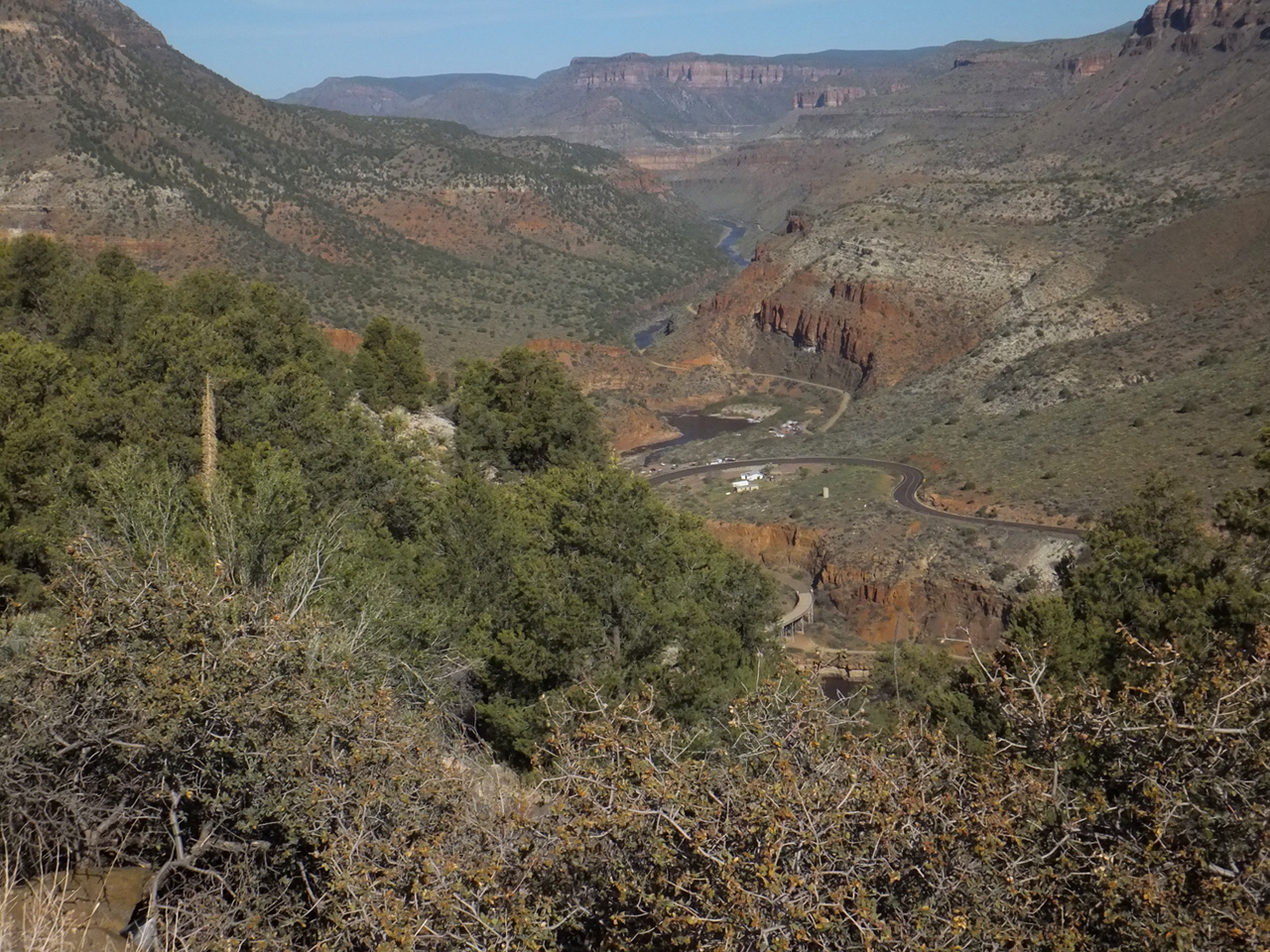
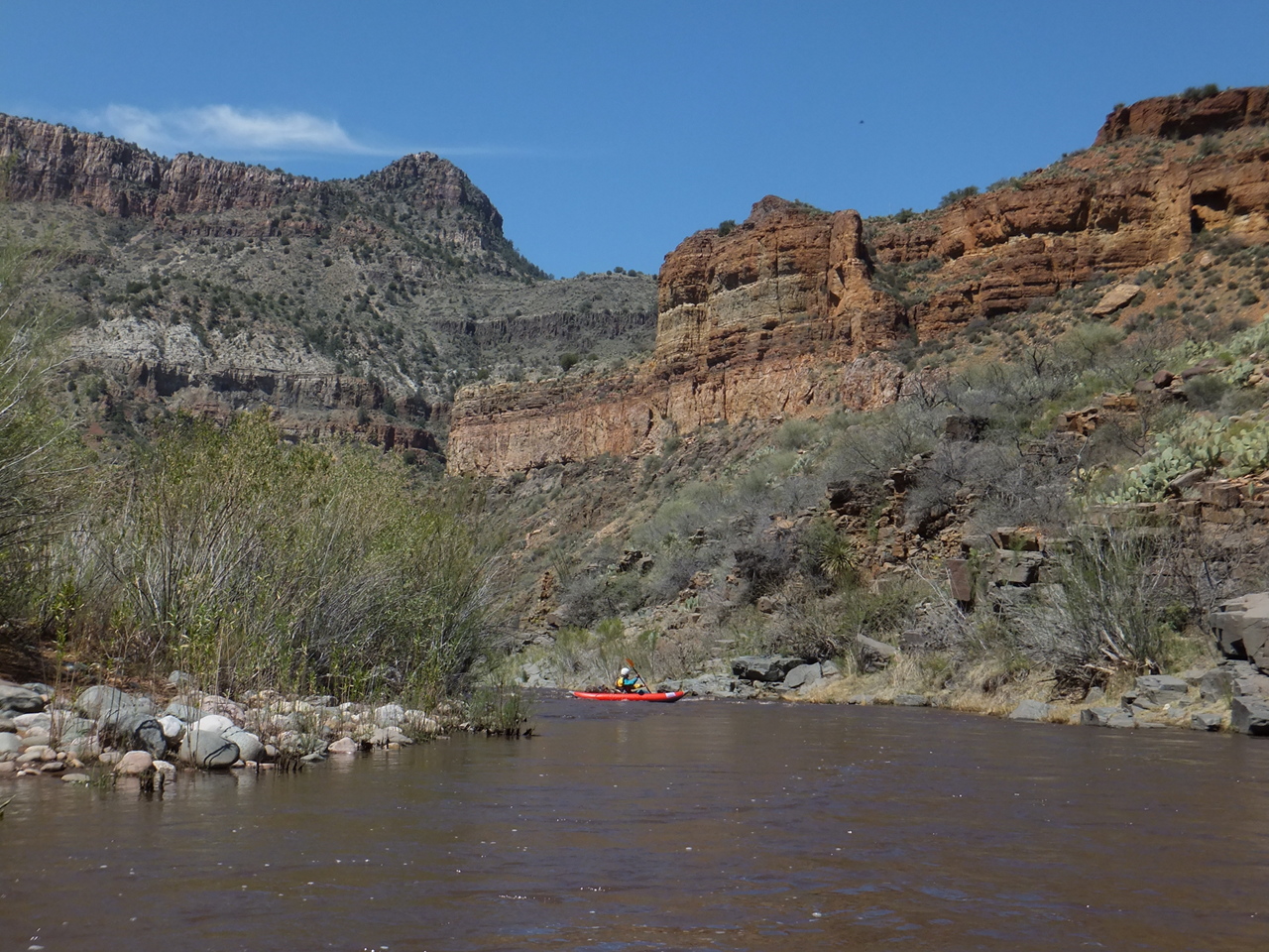
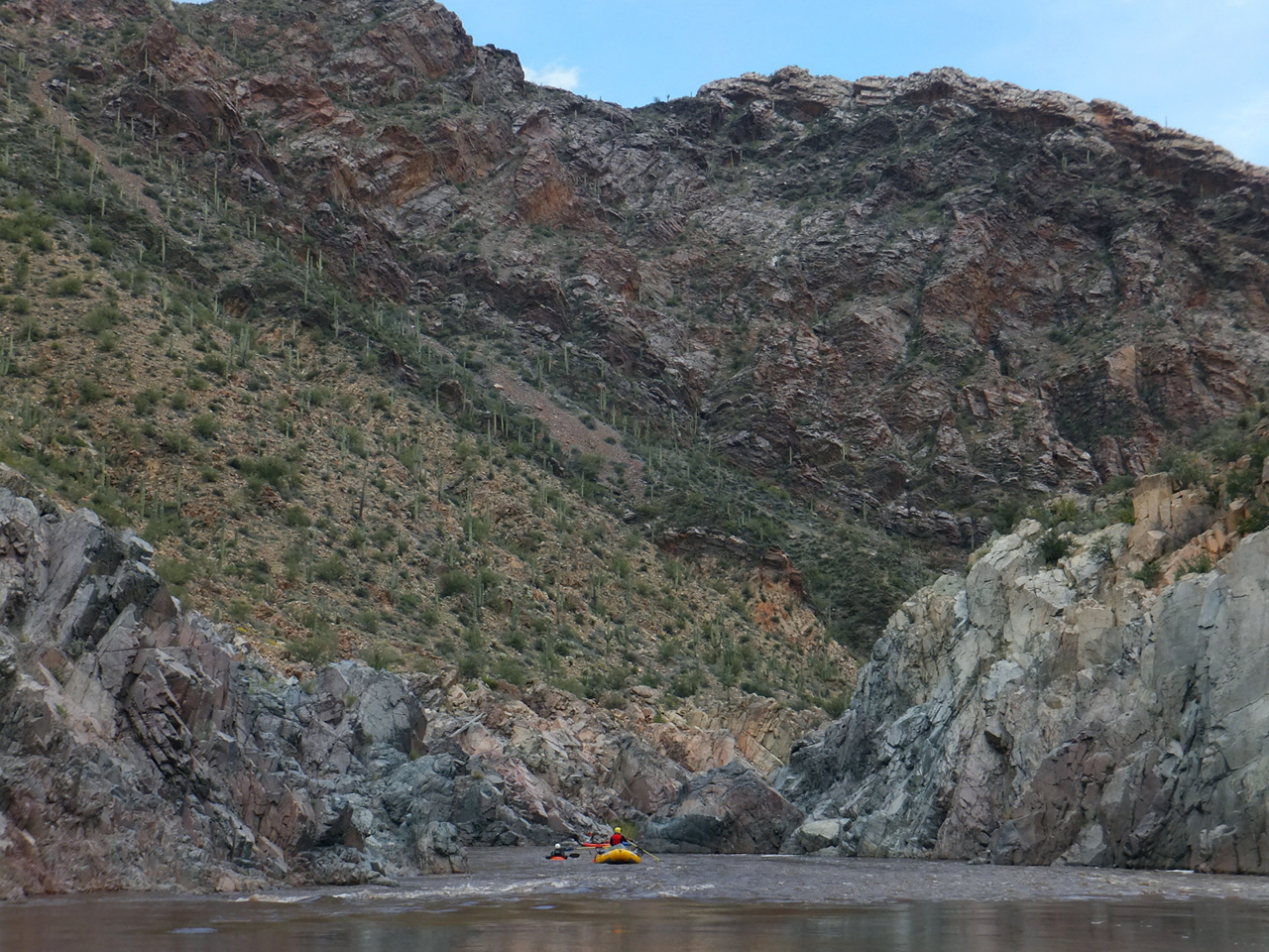
This stretch is called the Upper Salt as a contrast with the Lower Salt
below Roosevelt reservoir (and other reservoirs) near urban Phoenix.
The Salt is navigable although not legally runnable above this stretch,
so Upper Salt is a bit of a misnomer.
Until class V+ Quartzite rapid was dynamited in 1993, permits were not required.
Without a mandatory portage the Salt got more popular,
so a permit system was implemented.
For put-ins March 1st to May 15th, you apply for permits by January 15th.
Email notifications go out soon thereafter.
When flows are expected to be below 800 cfs,
cancellations are relatively easy to obtain.
In some years the river remains floatable after mid May,
although Black Rock Falls becomes unrunnable below 500 or 600 cfs.
The best available river map is an informational overlay by the USFS on satellite images,
currently here,
although government websites move stuff around constantly, so no guarantees.
You should print it on waterproof paper (or laminate) for on-river use.
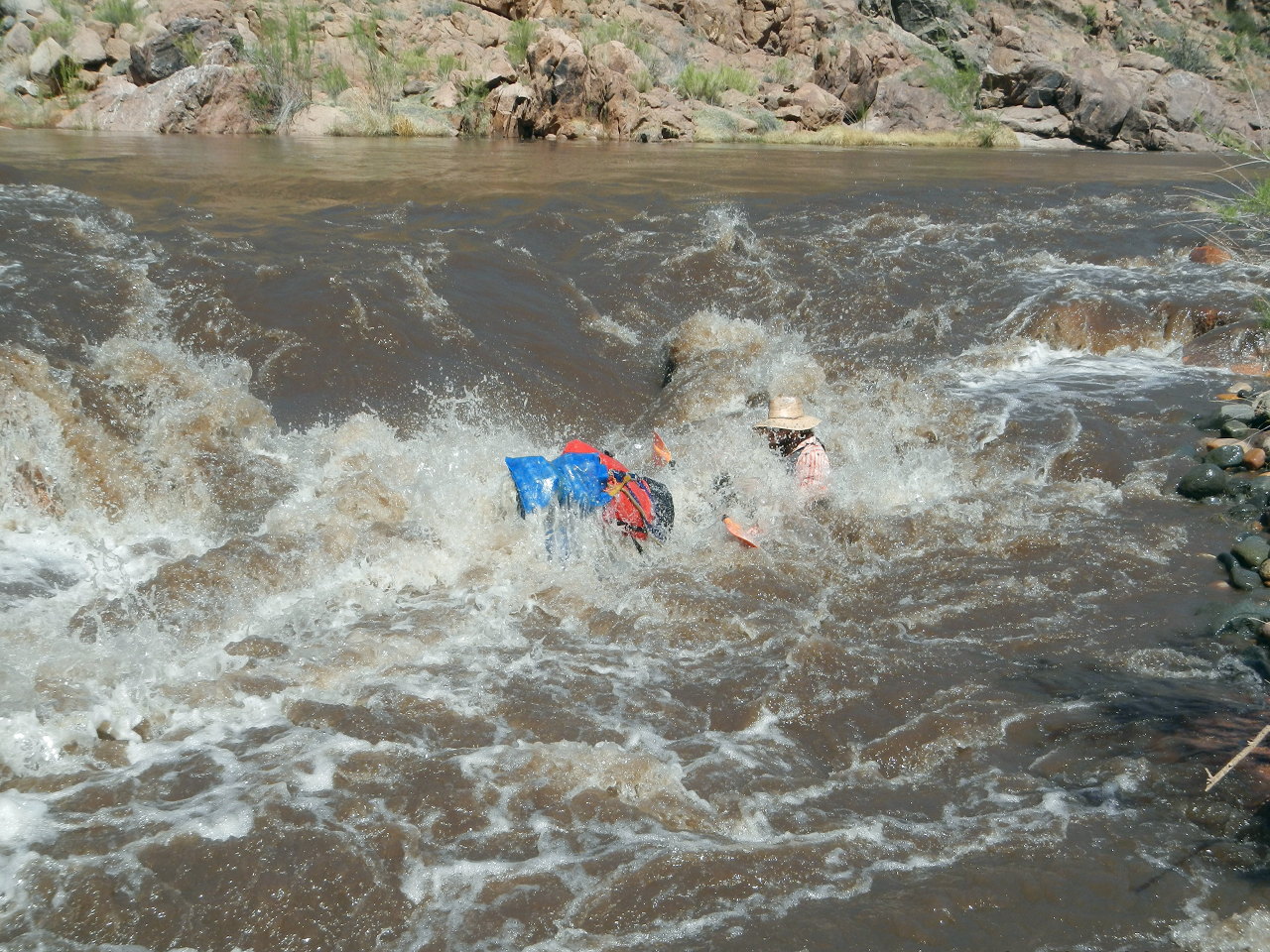
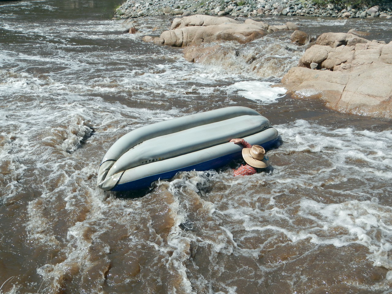
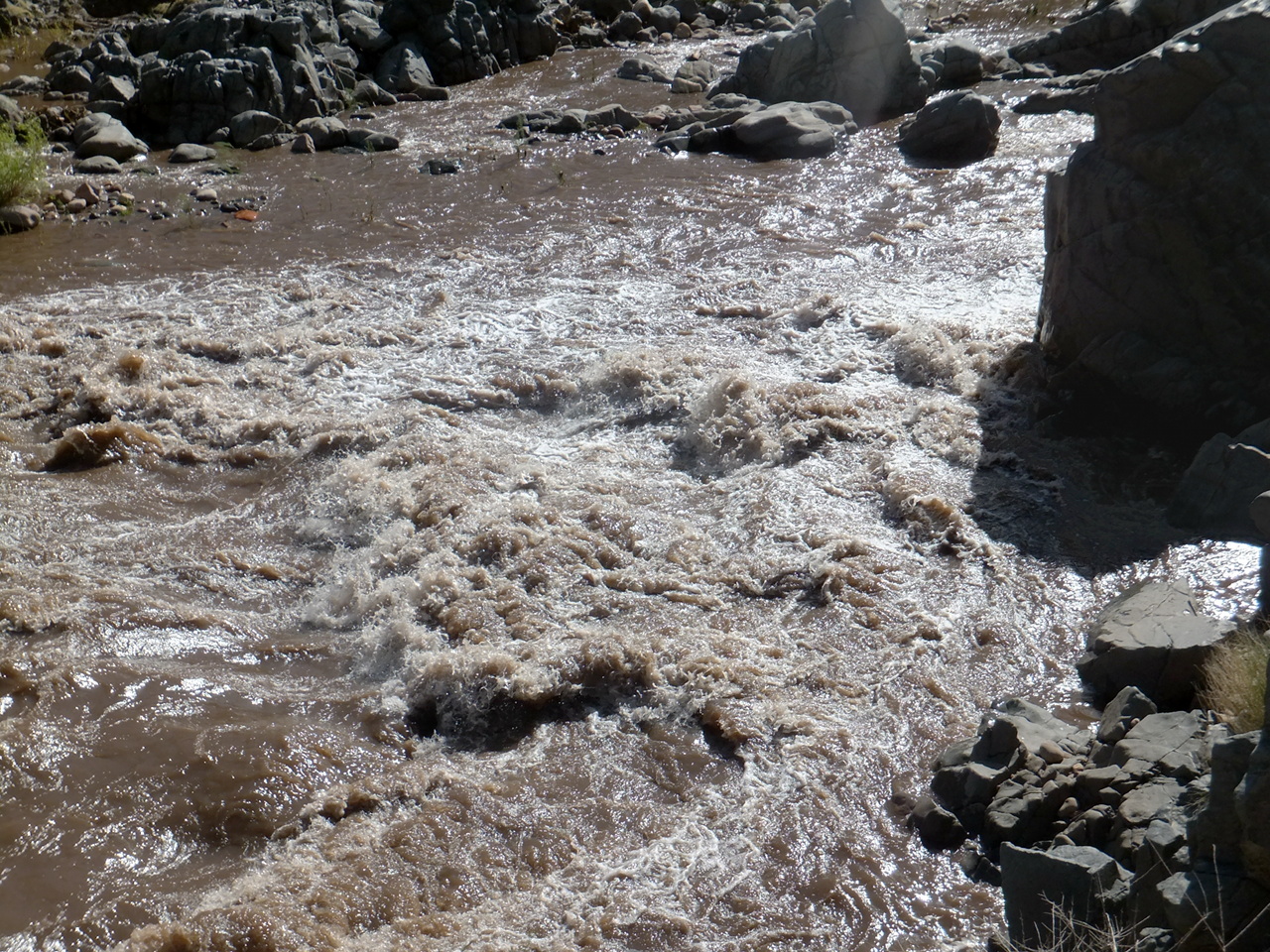
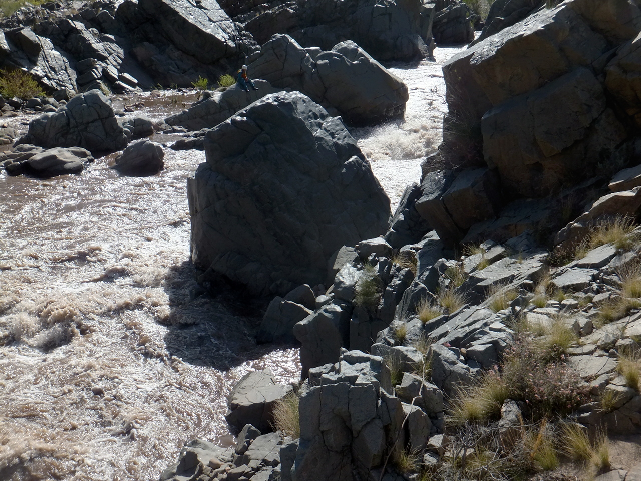
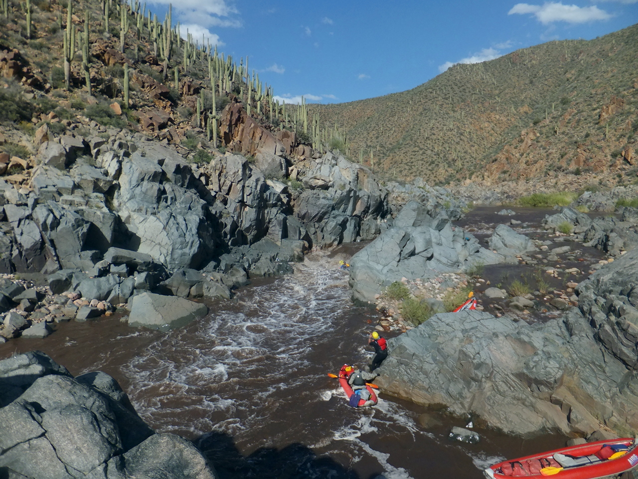
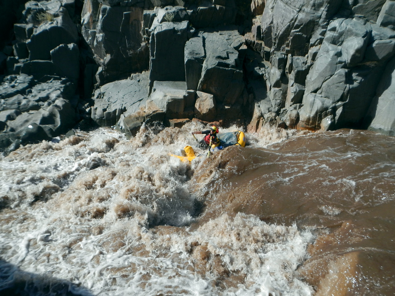
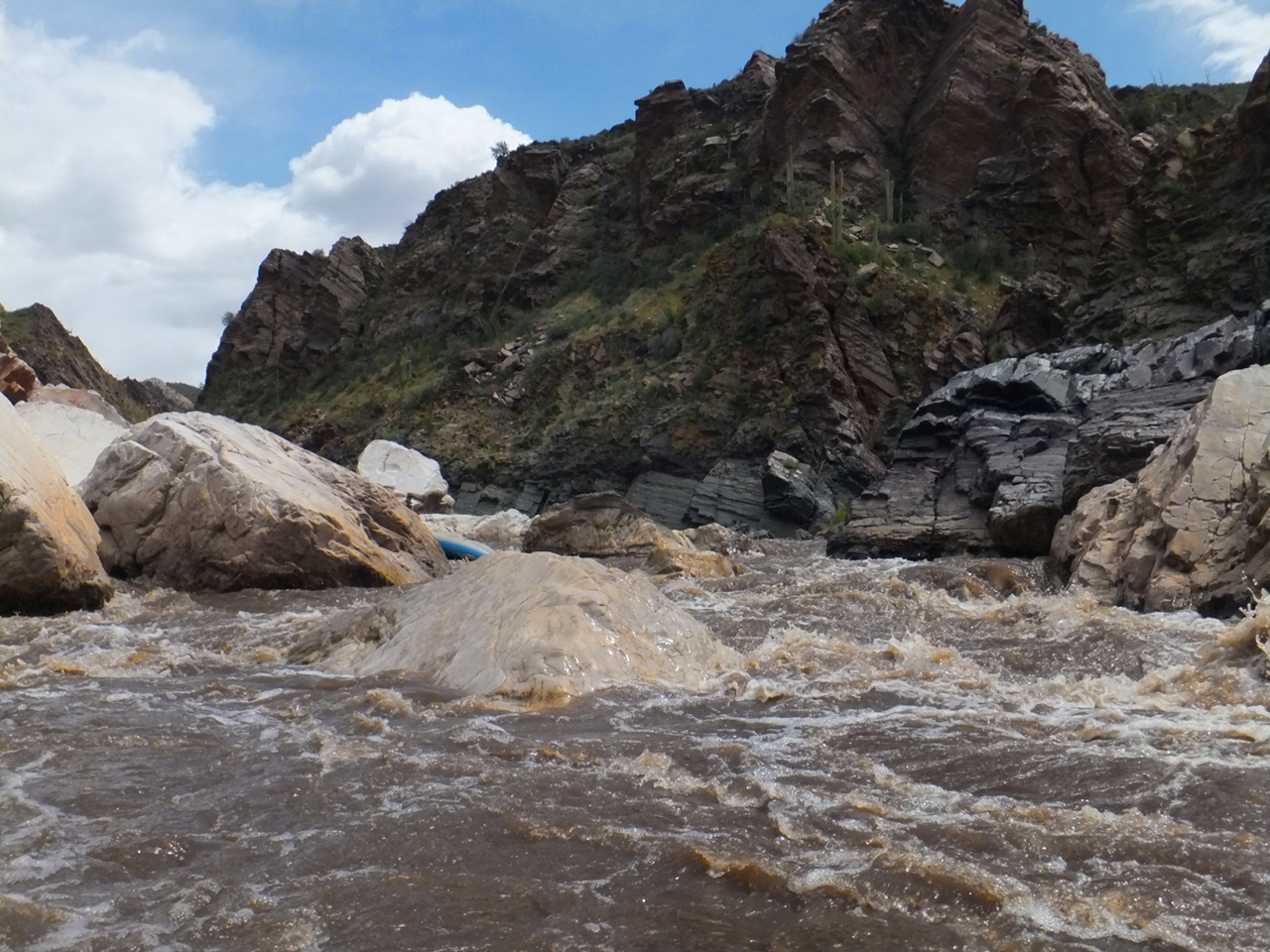
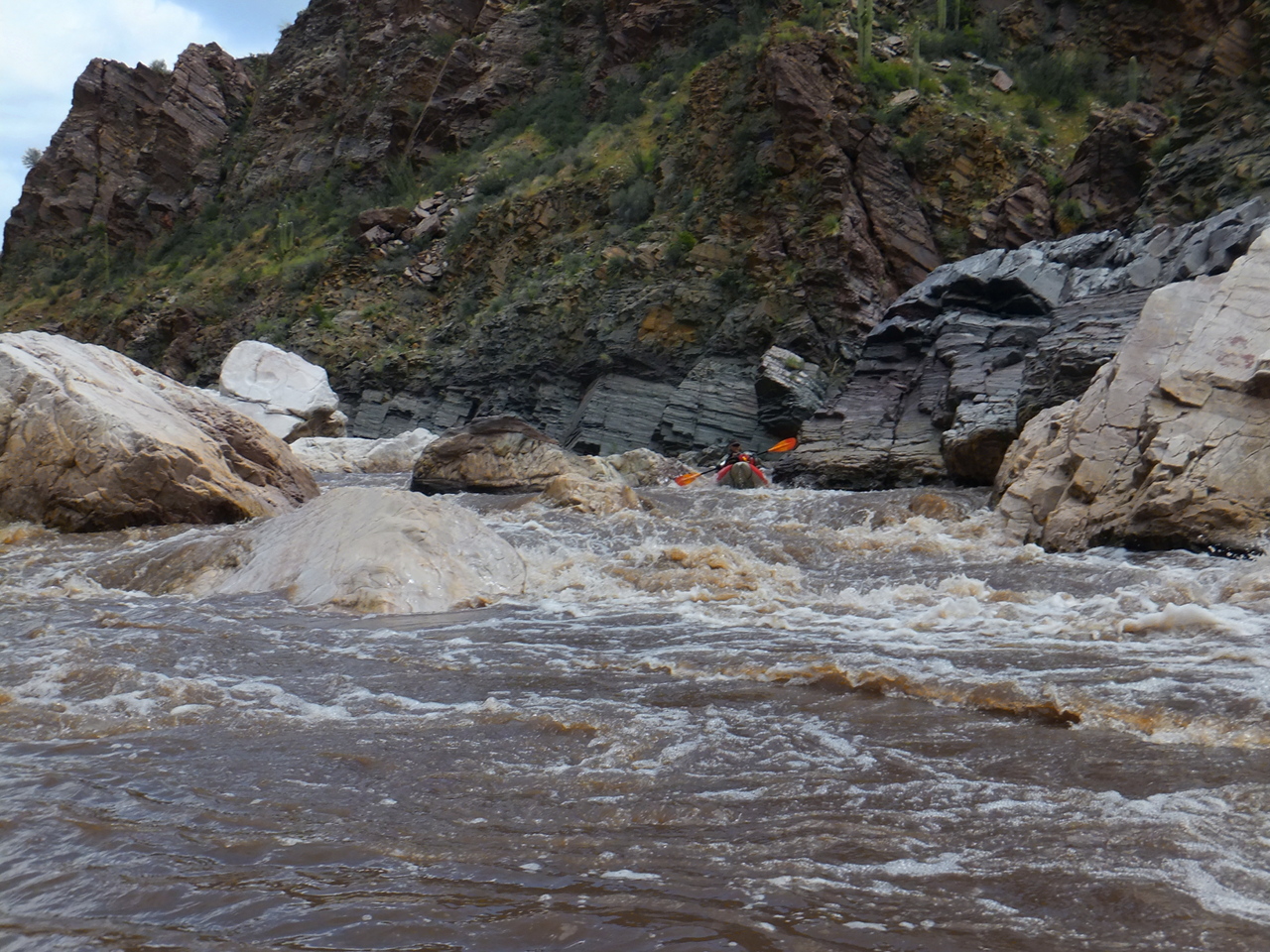
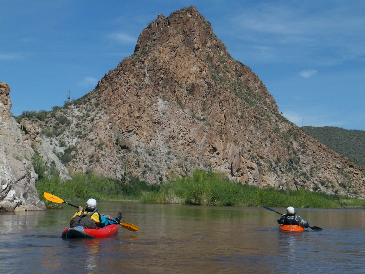
Mileages below match the USFS map. Pictures were taken between 800 and 900 cfs.
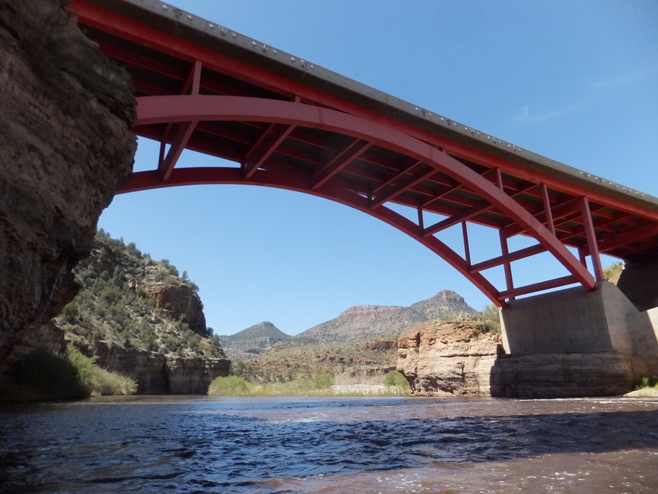
- -0.7
- At higher flows or with small boats, you can put in at the end of the road
just above rocky Baptism Rapid, also called Bridge Rapid, class II+.
Class V Apache Falls is visible upstream.
-
- -0.2
- Island Rapid, actually two islands at most flows, the second with rapids.
The left channel is rocky at the top, the right channel at the bottom,
so pick your poison. Scoutable from the road to the Apache permit kiosk.
-
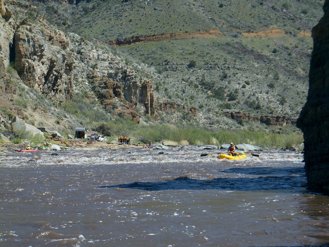
- 0
- Mule Hoof Campground and river access point on river right, the normal put-in.
Just below is a rapid that forces boats into the wall at a sharp left turn.
-
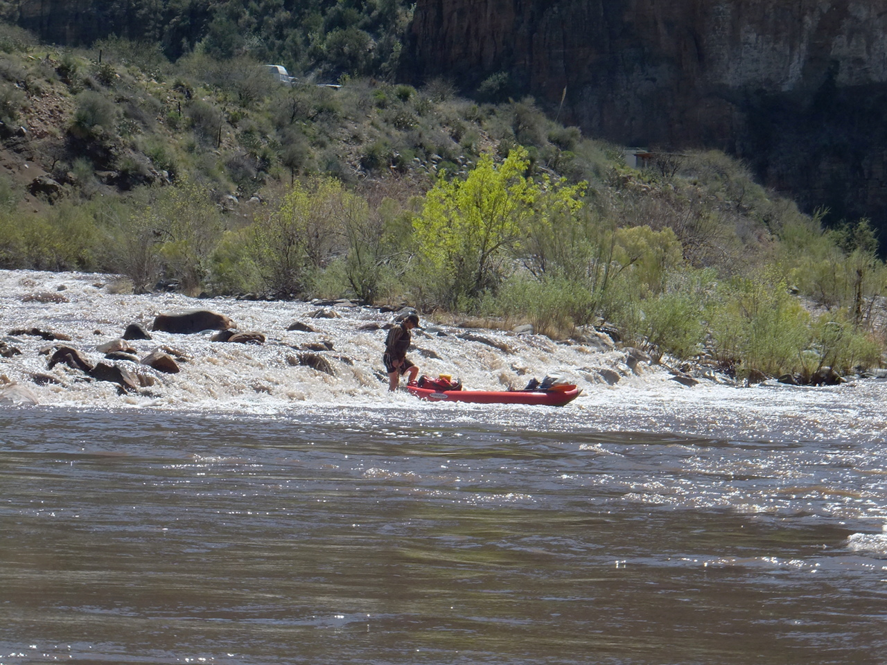
- .9
- Bump and Grind, a concealed rocky ledge across the river near end of the drop,
at low flows not easily passable by rafts.
- 1.1
- Maytag Chute, where a non-obvious channel on far right looks like the wrong route,
but is the only way to avoid getting stuck at low flows.
-
-
- 1.7
- Reforma Rapid, AKA Grumman, much more difficult at high flows, with deep holes
and large boulders.
- 1.9
- Mother Rock rapid, a huge boulder in river center, followed by a boulder garden.
- 2.3
- Overboard Rapid, another deceiving rapid where the best route is on far right,
over what appear to be (but are not) shallows. Work back left to avoid a rock
and hole in river center at the bottom.
- 2.7
- The road, having shortcut around Mule Hoof Bend, reappears on the right bank.
Many class II rapids, although they are not marked on the map.
- 3.8
- Left bank changes from San Carlos Apache tribal lands to Tonto National Forest,
so camping is allowed on that side, although the USFS map shows five camps
upstream on tribal lands. Right bank remains White Mountain Apache tribal lands.
- 5.0
- Coyote Canyon enters on the right, followed by a combined campground and
river access, which continue for half a mile.
- 5.5
- Exhibition Rapid, which starts wide at a right bend, and narrows along the way.
Hidden holes and haystacks at higher flows.
- 6.4
- Cibecue Creek enters on the right, followed by a rapid at a left bend.
If vehicles cannot ford Cibecue Creek, day trippers must take out above here.
- 7.1
- Three Way rapid. The left channel leads straight down thru a minor rapid,
with a middle channel sneak to the right channel about halfway down,
then it curves right into a steep rock garden at the bottom. The right channel
is brush-choked but more gentle, and may be the best choice at low flows.
- 8.6
- Mescal Falls, AKA Salt River Draw rapid, class III+, possibly scout right.
The left side has large holes at most flows. At the top the river flows leftward
off a boulder bar, so certain holes may have 90° laterals that can easily
flip boats. This is a long rapid that continues for about .2 mile.
- 9.2
- Hoo Doo river access point, the last take-out for day trippers.
-
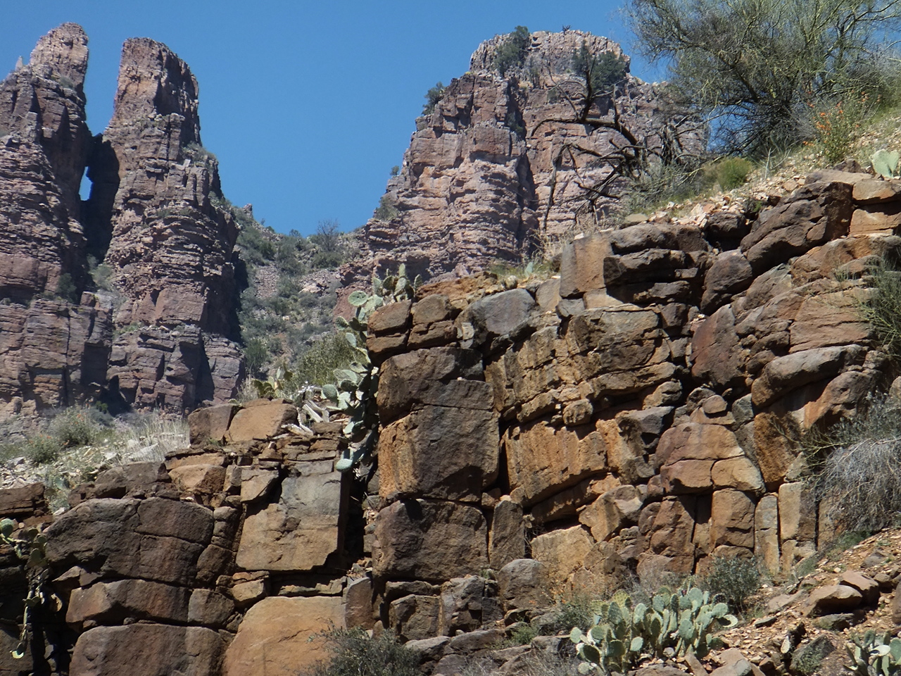
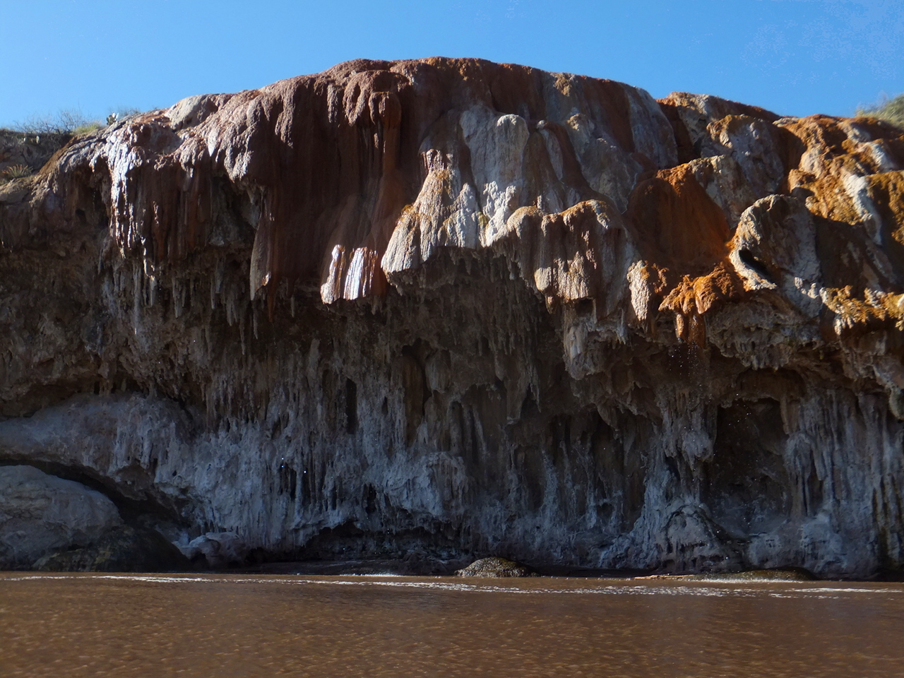
- 10.0
- White cliffs on the right bank create beautiful Salt Banks,
marked “Sensitive Cultural Area, No Stopping” on the map.
Several good camps on the left bank, amid interesting rapids.
-
- 13.3
- The Cheese, class II, flows into a wall on the right bank.
Rat Trap, class III-IV, follows .1 mile below. Possibly scout left.
At high flows, you can take a sneak channel on far right, but at
low and medium flows, Rat Trap has weird waves and multidirectional holes.
-
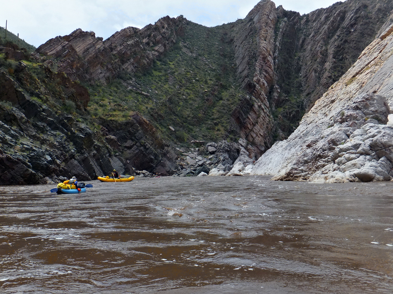
- 13.6
- White Rocks rapid, a long rapid after a sharp right bend.
The river enters a section where lovely white granite alternates with newer rock.
-
- 15.9
- Canyon Creek enters on the right in a beautiful shallow canyon.
It flows relatively clear, making it a good place to fill water containers.
- 16.0
- Granite Rapid, a class III boulder slalom.
White granite outcroppings and rapids continue until Ash Creek at mile 16.8,
where a boring 4-mile flatwater stretch begins.
- 19.2
- Gleason Flat rapid offers a welcome break from the flatwater.
Butte Creek river access is upstream, South Gleason river access is just downstream.
Both connect to a dirt road leading south out of the canyon. Another road goes north.
Right bank changes from Tonto National Forest to Salt River Canyon Wilderness,
where the USFS permit is required.
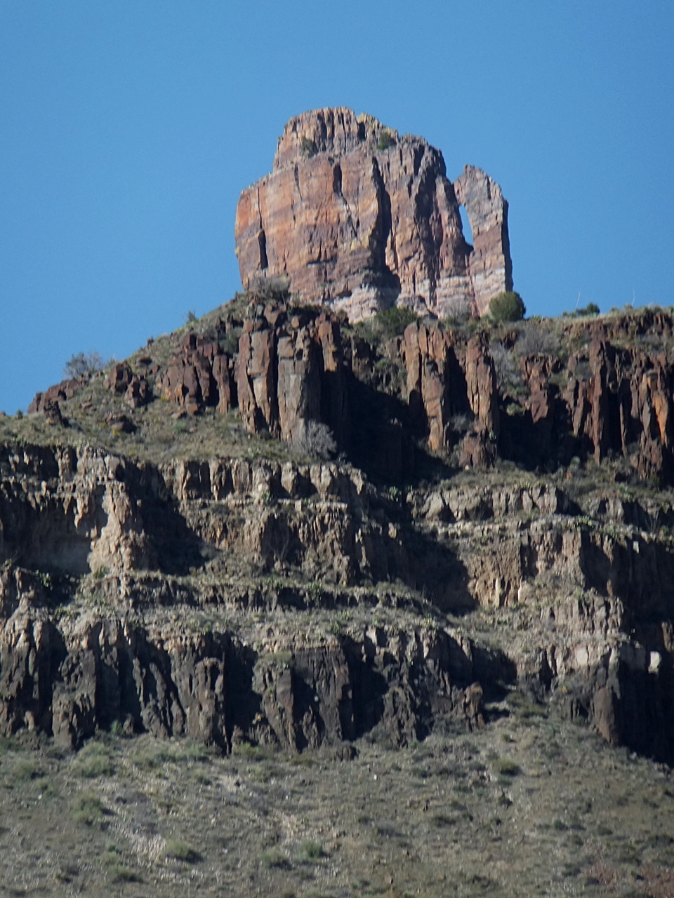
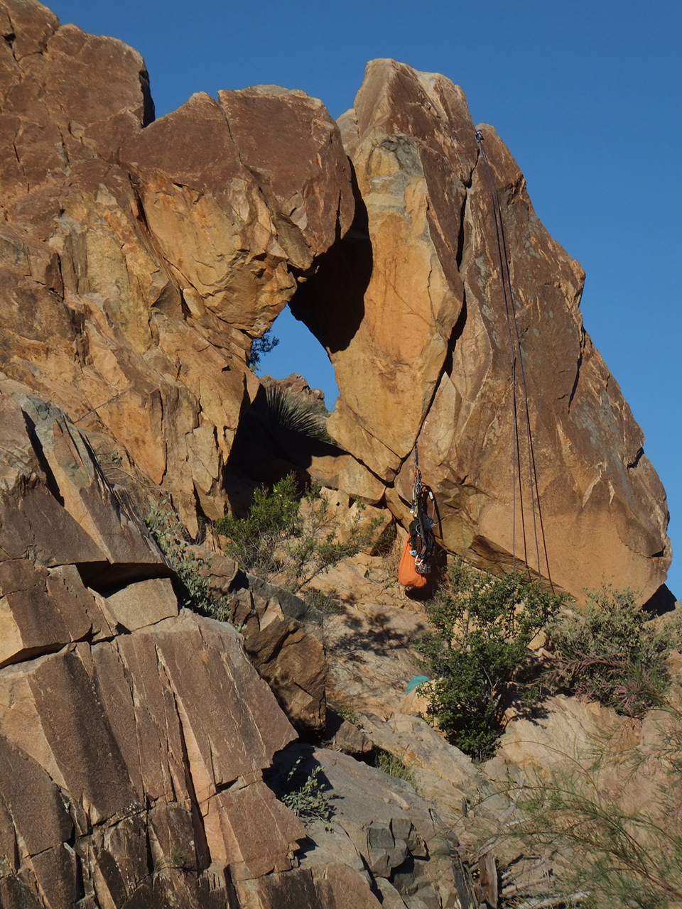
- 21.6
- Eye of the Needle, class III, possibly scout left.
After a sweeping left turn around a gravel bar,
the river constricts to very narrow channel between two large rocks on the left,
with at least one door thru rocks further right.
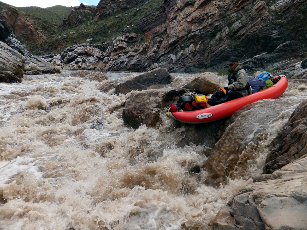
- 22.1
- Black Rock, class IV, low-water scout right, high-water scout left.
A long boulder-infested drop leads to a rock jumble or falls on river right,
between a high cliff and a large dark-colored rock (difficult to scout).
At high flows the left channel offers a sneak route (easier to scout).
-
-
- 22.5
- After Black Rock, the canyon opens up and good campsites are available.
-
- 26.6
- Pendejo, class III.
An arroyo enters on the right and a large rock splits the channel.
This rapid is more noticeable at high flows.
Upper Corral, a milder rapid, is .4 mile downstream.
- 29
- Right bank changes from White Mountain Apache Tribal lands
to Salt River Canyon Wilderness, now on both banks.
At Lower Corral Canyon camp .2 mile downstream,
consider donning your paddle jacket, because whitewater soon picks up.
- 29.2
- Lower Corral, class III, a wave train with big hole.
- 29.4
- Pinball, class III, with holes and boiling eddies, not so much pinball.
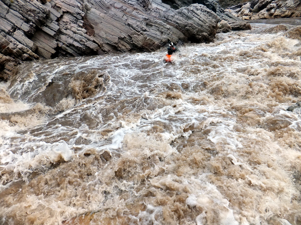
- 29.8
- The Maze, class III-IV, harder at high flows. A long and complex rapid
with the biggest hole near the top, making a long swim possible.
- 31
- Around mile 30.7 the river breaks thru a ridge into Jumpoff Canyon,
and at mile 30.9 thru the quartz intrusion that creates Quartzite Falls.
A long straight-away of moving (not white) water leads to Quartzite.
-
- 31.7
- Quartzite Falls, class IV, scout right, best route changes at different flows.
At moderate flows the right channel is tricky because it pushes you to the right,
into a flip rock. The left channel is more straightforward for kayaks
but too narrow for rafts, until higher flows. Thank heaven for dynamite!
This rapid used to require many hours to line or portage.
-
- 31.8
- Corkscrew, class IV, scout left, well upstream at high flows.
The dynamited rocks are still moving, so Corkscrew changes year to year.
Some people feel this is the most technically difficult rapid on the river.
-
- 32
- Sleeper rapid, difficult only for the unprepared.
Spectacular Jumpoff Canyon continues.
-
- 34.4
- Cliffhanger rapid,
where the current drops toward a cliff on river right with an eddy to the left.
After this point rapids become less frequent, but the river still moves well.
- 35.9
- Cherry Creek enters on the right, offering a nice side hike upstream.
Several popular camps nearby take advantage of its very clear drinking water.
- 39
- Horseshoe Bend, with an access road to privately owned land on river left.
Supposedly a launch point for tubers and rafters during summer months.
-
- 44.5
- Coon Creek enters on the right.
Other good camps among shade trees are .2 mile downstream
and .4 mile further below Chalk Creek, a good side-hike.
-
- 46
- Scenery remains excellent as the river passes Black Mesa to the north.
Good campsites abound, though few with much shade.
The river moves quickly despite 17 fpm gradient.
-
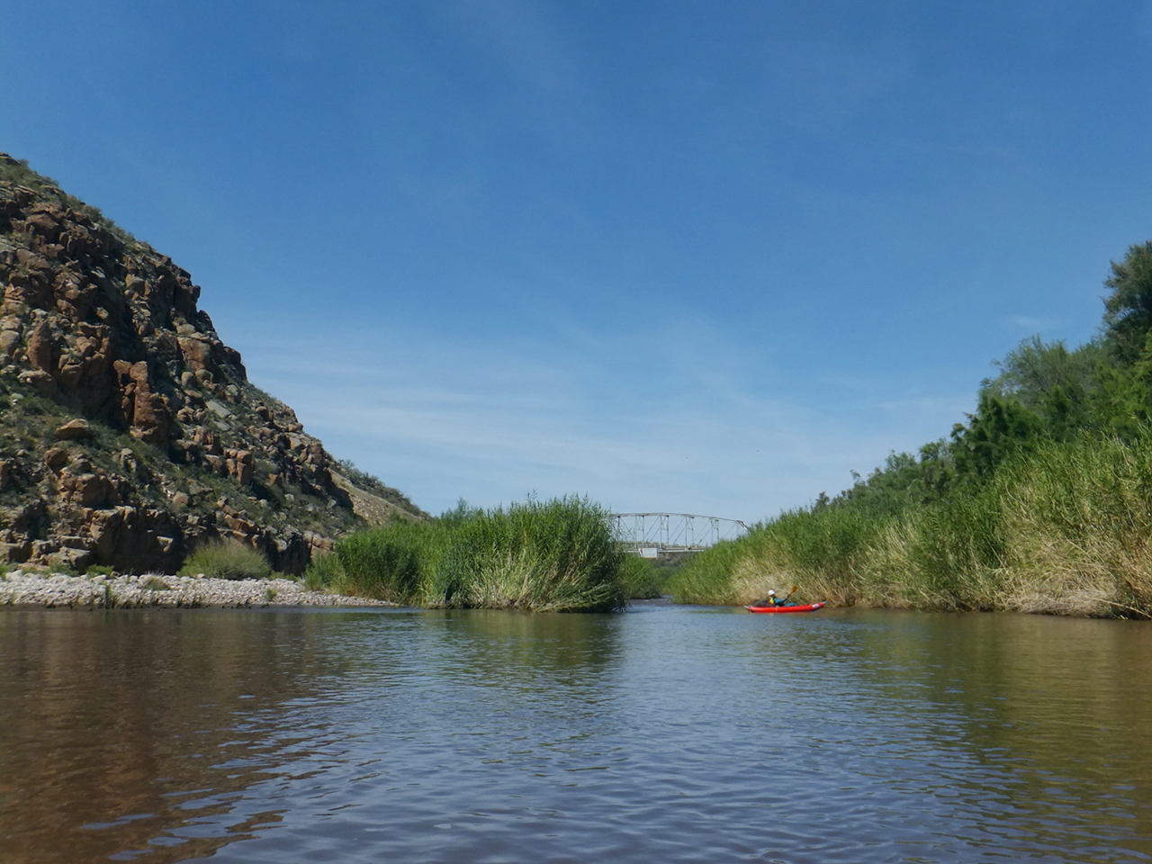
- 51.3
- Salt River Canyon Wilderness ends, the river breaks thru a narrow cleft in a ridge,
and the highway 288 bridge suddenly becomes visible.
-
- 52.7
- Take out on the left below the highway.
A sign on the bridge warns of a dangerous diversion dam .8 mile downstream.
A camp-oriented low-water trip report is available
here.
The so-called Lower Salt near Phoenix has warm water and good flow,
making it a favorite destination for urban residents on cheap rafts and inner tubes.
The section from Stewart Mountain Dam to Granite Reef Dam is class I for 12 miles.
Shuttle Directions
To reach put-in:
from Phoenix, take I-10 east toward Mesa, then highway 60 east toward Superior.
(There is a good campsite not far off the highway near Top of The World.)
Drive 80.4 miles (from I-10) to Globe, where highway 77 joins 60 and turns north.
Continue another 38 miles north on highway 60/77 to its bridge over the Salt river.
Shuttle drivers can be hired from rafting outfitters in the temporary village
downstream of the highway bridge.
To reach take-out from there, return to Globe.
Drive west to Midland City and turn north on highway 188.
Continue 14.7 miles to a T intersection with highway 288,
turn north, and drive 4.5 miles to its bridge over the Salt river.
Total distance is 61.1 miles.
Vandalism has been reported at the remote parking area near the bridge.
|
|
Creeks Navigation
Home
Recommended Runs
Map of Rivers
Alphabetic Index
Alphabetic Table
Text Search
Sponsored Links
|