|
Pit River near Pit Falls |
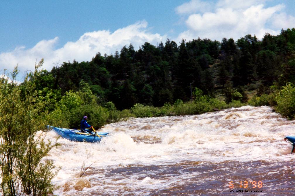
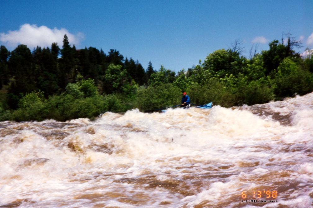
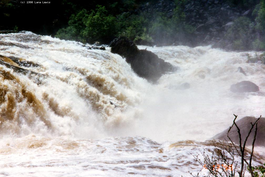
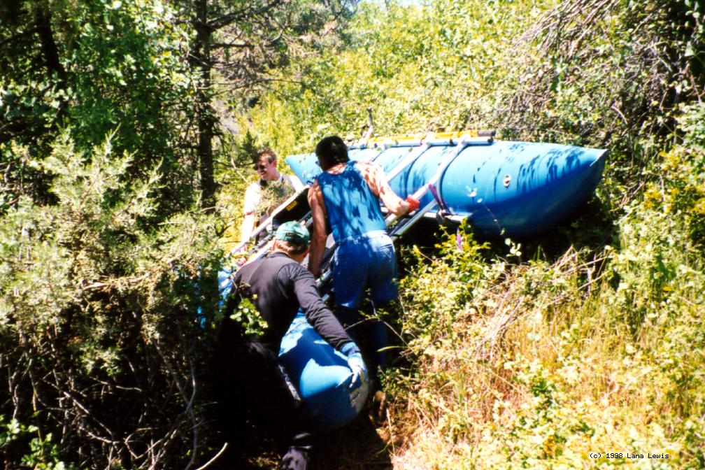
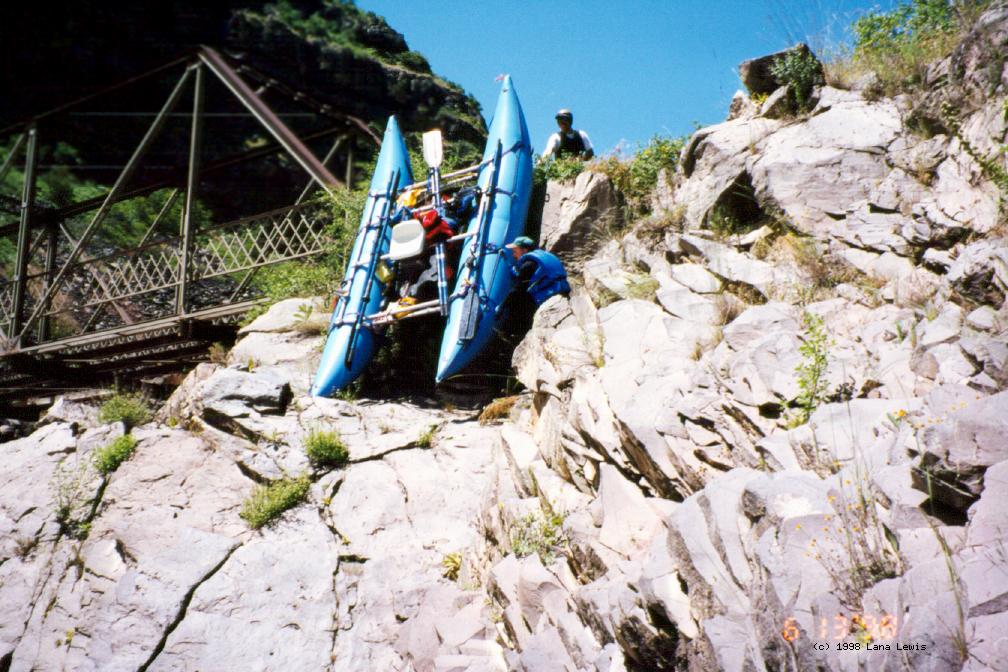
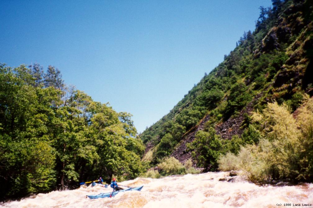
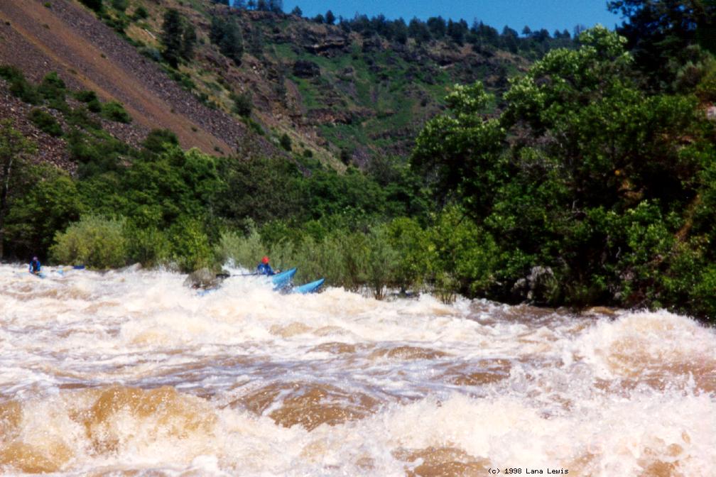
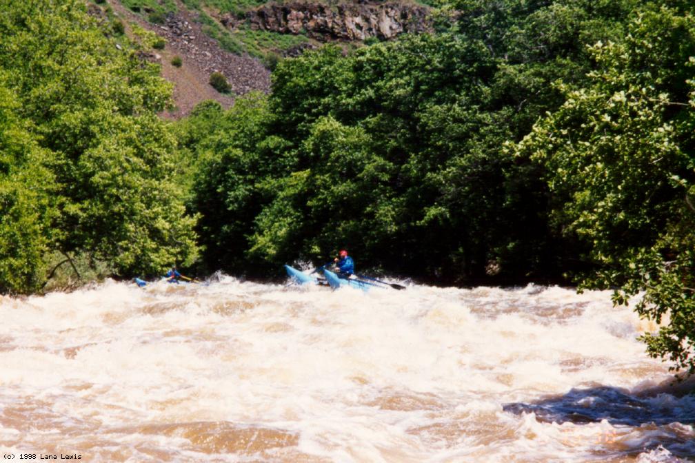
This run hasn't been listed in a guidebook since Charles Martin included it in Sierra Whitewater, published in 1974. Charles Martin also described three easier downstream runs, now mostly dewatered by hydro diversions, but possible future summer runs depending on the outcome of FERC relicensing. In his 3rd edition (1998), Lars Holbek finally included a less hydro-impacted upstream run, also described in the Charles Martin book: the 24 river miles from Nubieber to Pittville, class V with several portages. Rapids on this run are caused by relatively recent volcanic activity. Lava flows have formed natural dams, which the river has incised to create unusual and sometimes spectacular rapids. At high flows there is a mandatory portage at Pit Falls, a 30' vertical drop over a particularly large lava flow. At moderate flows such as the scheduled release, Pit Falls is runnable class V, with a class IV sneak route on the far right. About .1 mile below the put-in bridge is a weir rapid. After that the river is flat until mile 2, where the gradient picks up to 70 fpm until the falls, and the river drops thru many lava dams. Photos on this page were taken with the flow around 5500 cfs.
More normal rapids are encountered in the mile above the falls. At mile 4.9 make certain to exit on river right, well above Pit Falls.
Below the falls, gradient increases to 80 fpm until mile 7.1, where Pit #1 Powerhouse sluiceway comes in.
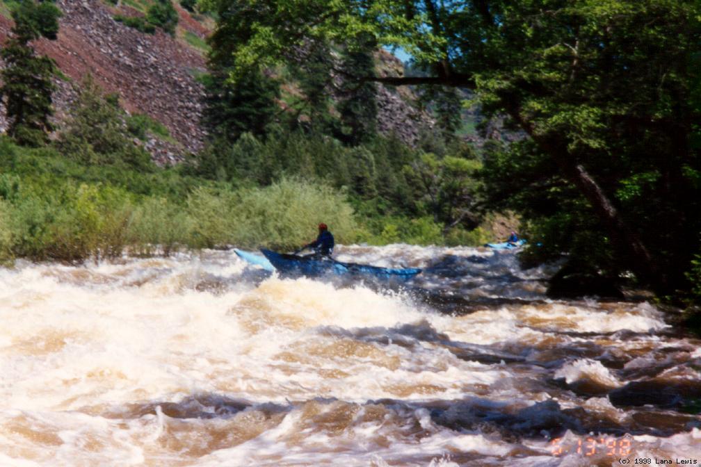
Below the powerhouse, good surfing waves abound with the increased flow, although the gradient is only 30 fpm to take-out.
|
Creeks NavigationHomeRecommended Runs Map of Rivers Alphabetic Index Alphabetic Table Text Search
Sponsored Links
|