|
Mokelumne South Fork |
Some days I think, “this sport of inflatable kayaking is so much fun it should be illegal!” After hours of threading slaloms and lining up to run narrow waterfalls in the warm sun, this was one of those days. Of course governments try to wring excess access fees from your wallet, and landowners do what they can to make river running appear illegal, but fortunately we live in a place with expansive navigation laws. This is an extremely fine run somewhere in California. There may or may not be a gated road to put-in, so a hike in may or may not be necessary. The take-out is diligently posted with No Trespassing signs but there is a wide right-of-way and the local Sheriff doesn't seem to care. This run isn't publicized at this time because of access questions at put-in. The whitewater is what will bring you back to this run, not the scenery, which is clearcut and burned in places, normal forest in other places, and developed with houses in spots. Class III and IV rapids are interspersed throughout the run. There is one portage around a potentially runnable diversion dam. One rapid in the lower section verges on class V, especially at higher flows.
|
Creeks NavigationHomeRecommended Runs Map of Rivers Alphabetic Index Alphabetic Table Text Search
Sponsored Links
|
 Steep drop created by a submerged log
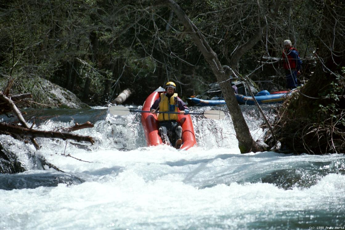
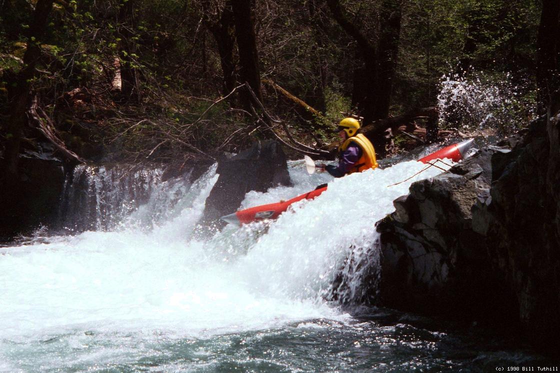 A sharp drop, but not too dangerous
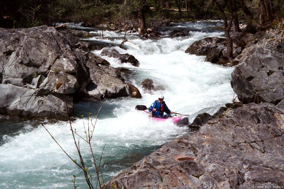
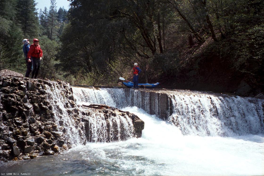 Contemplating whether to run this mess
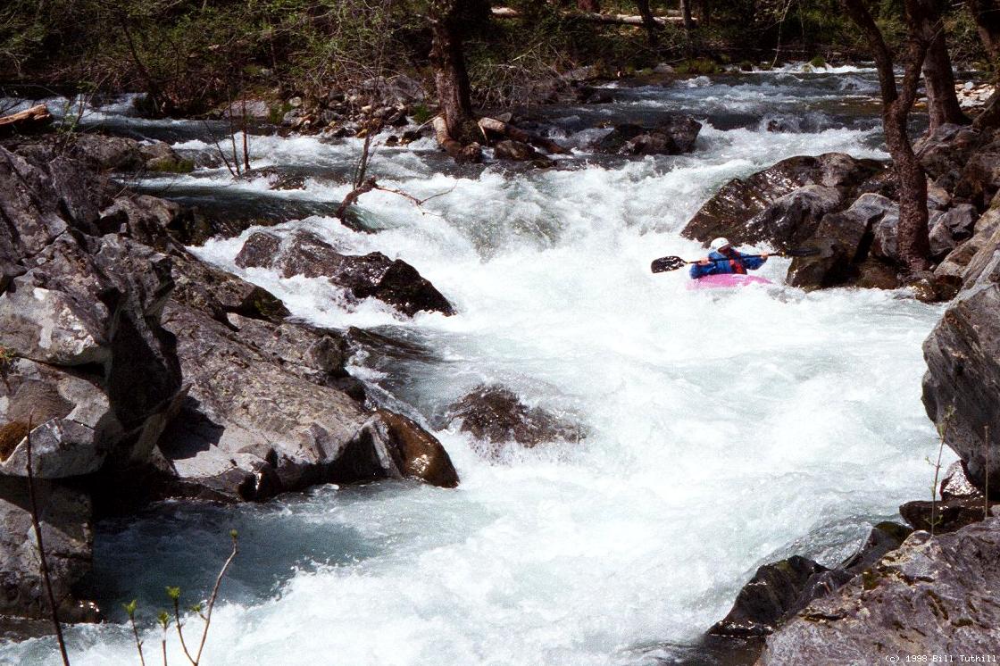
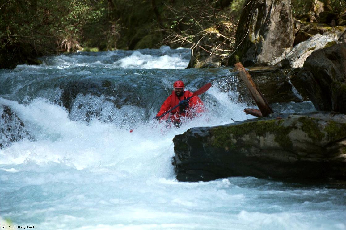 Following tongue near recirculating hole