| |
| Stretch: |
Tiger Creek Dam to Highway 26 |
| Difficulty: |
Class IV with class III in the middle |
| Distance: |
3 miles, half day |
| Flows: |
rafts and kayaks 600 - 2500 cfs, IK minimum 500
|
| Gauge: |
scheduled release, see the AWA website or
Dreamflows
|
| Gradient: |
67 fpm average, steeper at beginning and near end |
| Put-in: |
below Tiger Creek gauging weir, 2220' |
| Take-out: |
Highway 26 here called Red Corral Road, 2020' |
| Shuttle: |
3 miles (15 minutes) one-way, gravel road |
| Maps: |
USFS Stanislaus NF, AAA Lake Tahoe Region,
Topo
|
| Season: |
late spring or early summer, from scheduled release |
| Agency: |
private, BLM |
| Notes: |
© 2010 Bill Tuthill
CreeksYahoo |
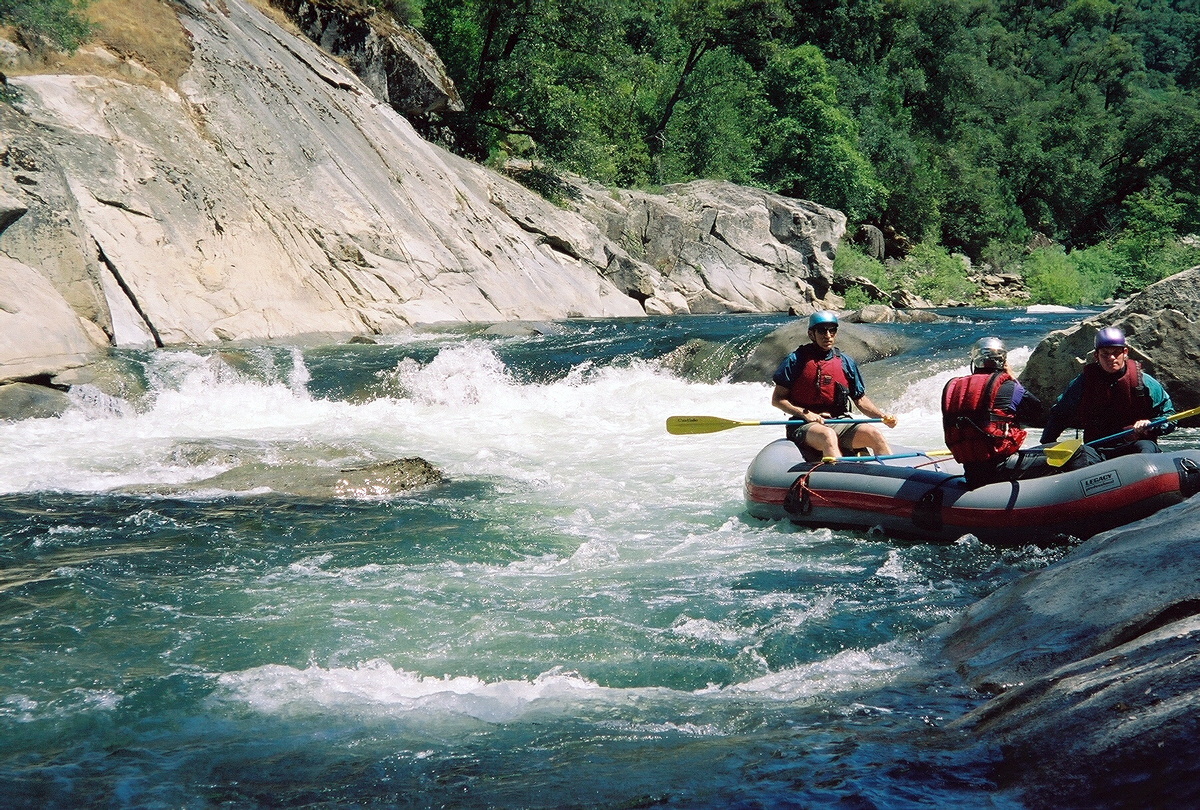
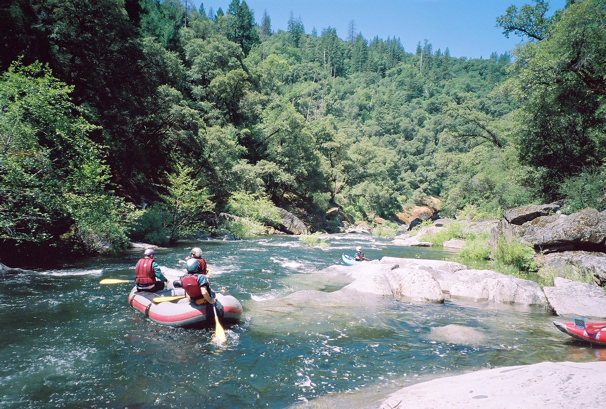
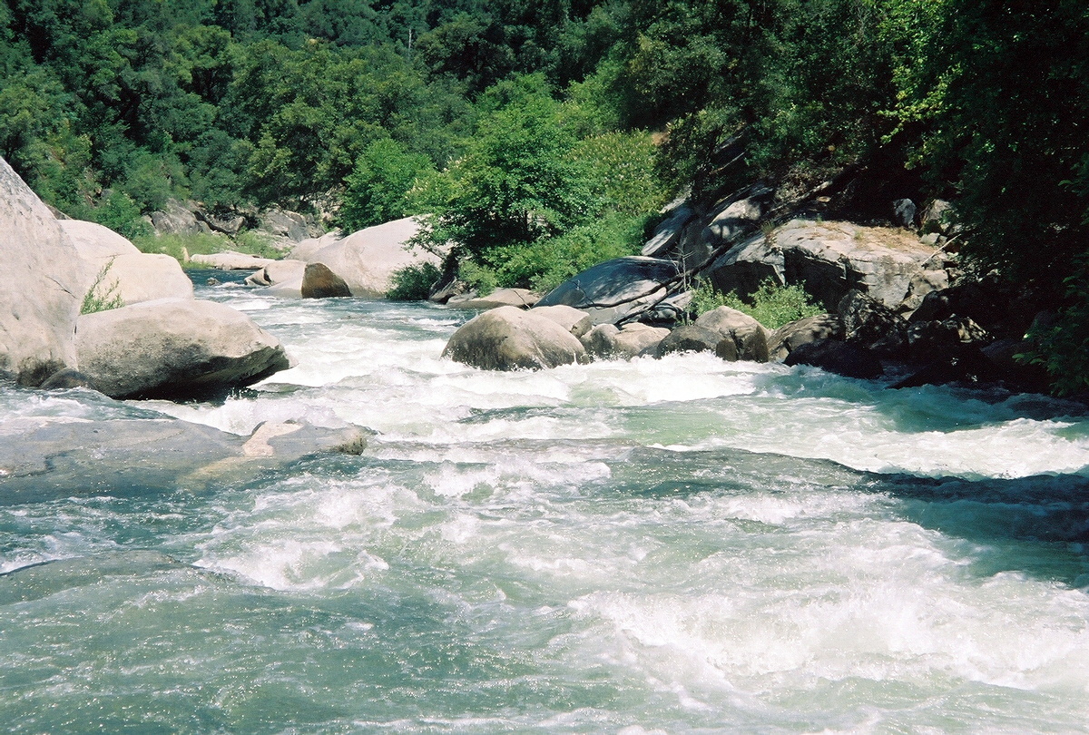
This is an excellent run with lots of rapids and good scenery,
especially the granite-cliff section from approximately the middle to the end.
At only 3 miles this run seems too short,
so you might want to plan for a double shuttle.
An upstream dam and a downstream diversion preclude a longer run.
After FERC relicensing in 2002, PG&E is required to release water
according to schedule in non-drought years.
Additionally in wet years, reservoirs fill and spill-flow occurs.
For flow and releae schedule, check
the AWA website for.
This section of the North Fork is eligible for designation as a
National Wild and Scenic River.
After helping to secure take-out access on the Electra Run,
Foothill Conservancy
is leading the effort to gain Wild and Scenic designation.
If you would like to volunteer to help, please call 209-295-4900 or
email Chris.
- mile 0
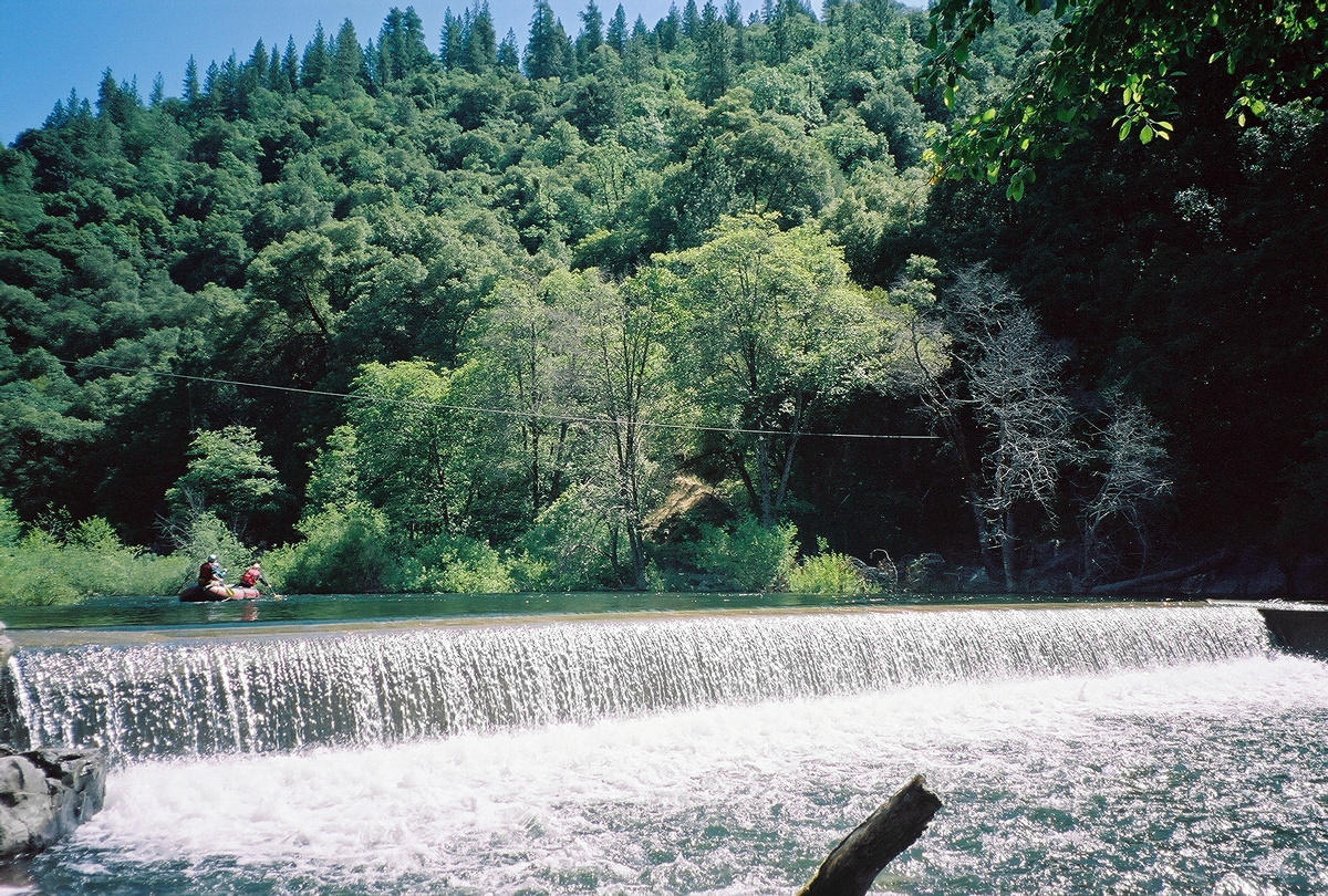
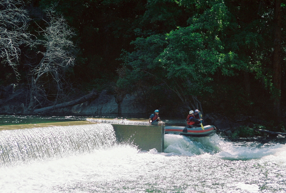
- Put in below the flow-regulation dam below Tiger Creek dam.
Although photos show a raft running the combination boat chute
and fish ladder on river left, this is not advisable for kayaks.
-
- .2
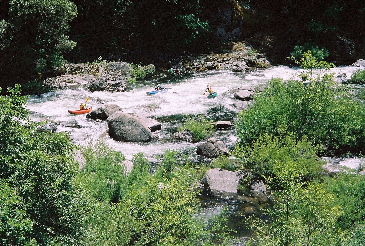
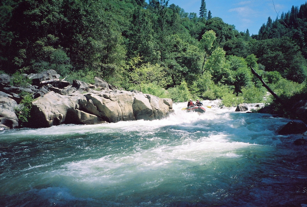
- After a class II rapid and a calm section comes the first class IV,
called Cushion.
It is very long. You can eddy hop on the left side, although
a cliff makes this increasingly difficult as the gradient picks up.
The steepest drop is near the bottom, just before the current
piles into the right bank. At lower flows it has three parts:
a boulder bar, a rocky shelf, and a 90 degree turn with hidden rock
behind a wave. At higher flows the drops merge.
-
-
- The far right channel is less steep, but willow-choked.
-
- .4
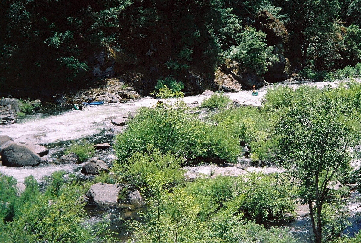
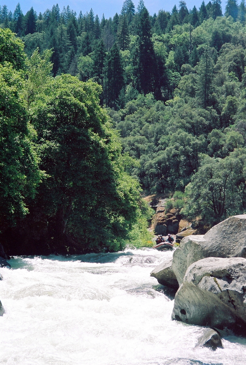
- Below the initial class IV, rapids are mostly steep drops among rocks,
generally boat scoutable if the best route is not immediately obvious.
-
- 2.6
- Thing, AKA Entrance, class IV, scout left.
This rapid is not too bad, and might even be considered a class III+
if it were not followed so closely by the next rapid. Setting safety
for the first boat to run this is difficult if not impossible.
-
-
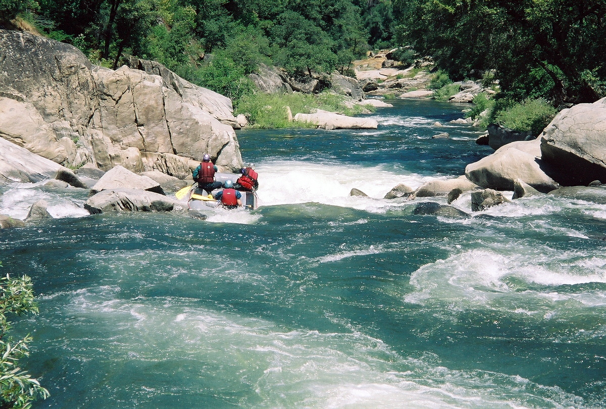
- 2.7
- Cousin It, AKA Fin Rock, class IV or worse, possibly scout left.
At moderate flows this looks worse than it is, so knowing that,
rafts sometimes just blunder down it. You can get a look at it
by catching the small eddy below Thing and bushwhacking on the left.
At lower flows, there are some nasty undercut rocks on the right.
-
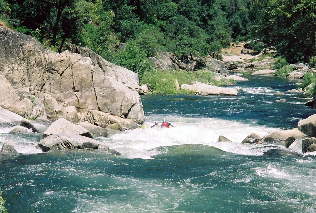
- 2.8
- Easy rapids to take-out.
A sign on the bridge warns you not to proceed further.
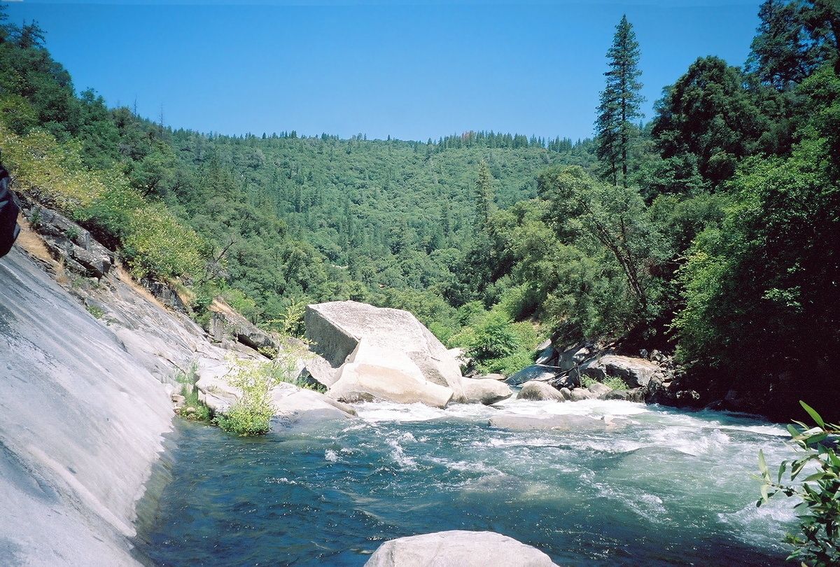
The West Point Powerhouse and a diversion dam are shortly downstream.
Maps indicate the river is runnable for over a mile to the Amador Columbia mine,
where you might be able to carry your kayak up an old road to Highway 26.
Downstream the gradient increases and drops over 1000' in the approximately
3 miles to the Middle Fork confluence.
Shuttle Directions
To reach take-out from Highway 88, drive east from Pine Grove about 4 miles.
Turn right (southeast) onto Highway 26, also called Red Corral Rd.
After about 5 miles you reach a bridge over the river.
Good parking is just upstream.
To reach put-in from there,
proceed uphill on the gravel road not far above the river.
This road is locally called the River Road, but is not marked on most maps.
The put-in is obvious because after about 3 miles you see Tiger Creek Dam.
You might want to scout the first class IV from a hillock below put-in.
The put-in is also accessible from Tiger Creek Road, off Highway 88
in Buckhorn, the community east of Pioneer. Tiger Creek Dam road is east of
the Buckhorn Market and goes all the way down to Tiger Creek Powerhouse.
|
|
Creeks Navigation
Home
Recommended Runs
Map of Rivers
Alphabetic Index
Alphabetic Table
Text Search
Sponsored Links
|