| |
| Stretch: |
Ponderosa Road to Highway 99 |
| Difficulty: |
Class V (1 or more portages), harder at higher flows |
| Distance: |
30 miles, 2 days |
| Flows: |
kayaks 500 - 1500 cfs, IK minimum 300 |
| Gauge: |
measured downstream at Los Molinos
(MLM) |
| Gradient: |
62 fpm, miles 1-3 and 8 over 100 fpm |
| Put-in: |
Black Rock USFS campground, 2100' |
| Take-out: |
Route 99 bridge, 240' |
| Shuttle: |
60 miles, 2 hours each way |
| Maps: |
USFS Lassen NF, AAA Northern California,
Topo
|
| Season: |
May to July, depending on snowpack |
| Agency: |
USFS, private |
| Notes: |
© 1997 Bill Tuthill,
CreeksYahoo |
We all agreed, Mill Creek was definitely the highlight of our California trip:
a superb run with numerous classic class IV and V drops,
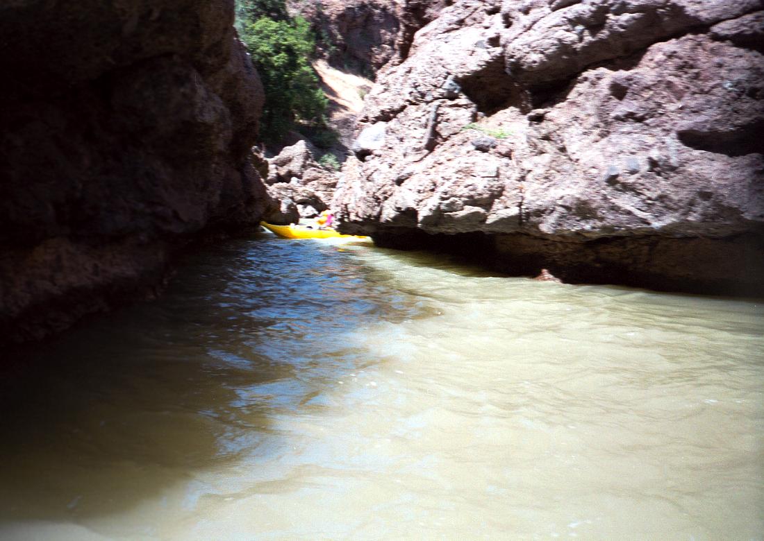
most of which can be boat scouted. There are many, many gorges, some
of which pinch down to less than a boat width wide in places,
and this dramatically increases the thrill factor.
The scenery is fantastic!! It all adds up to a classic run.
Mill makes it into my top five best creeks ever,
behind the Little White Salmon and Clear Fork Cowlitz.
--Jason Rackley,
Oregon Kayaking webmaster
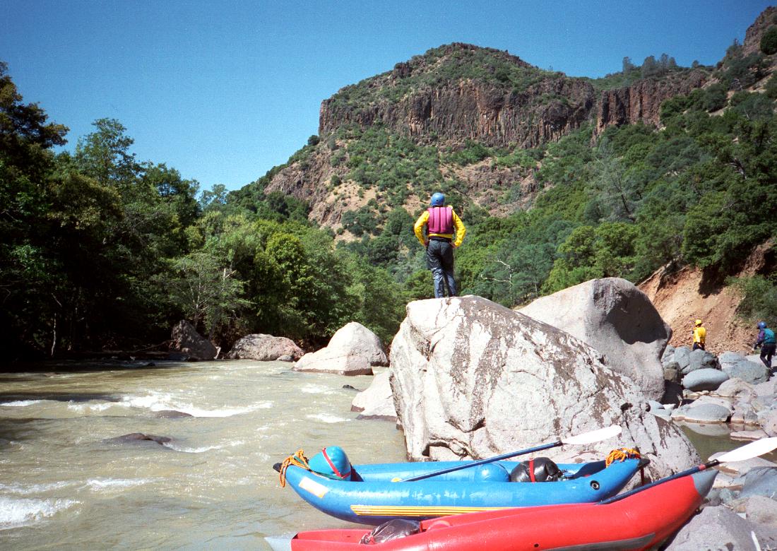
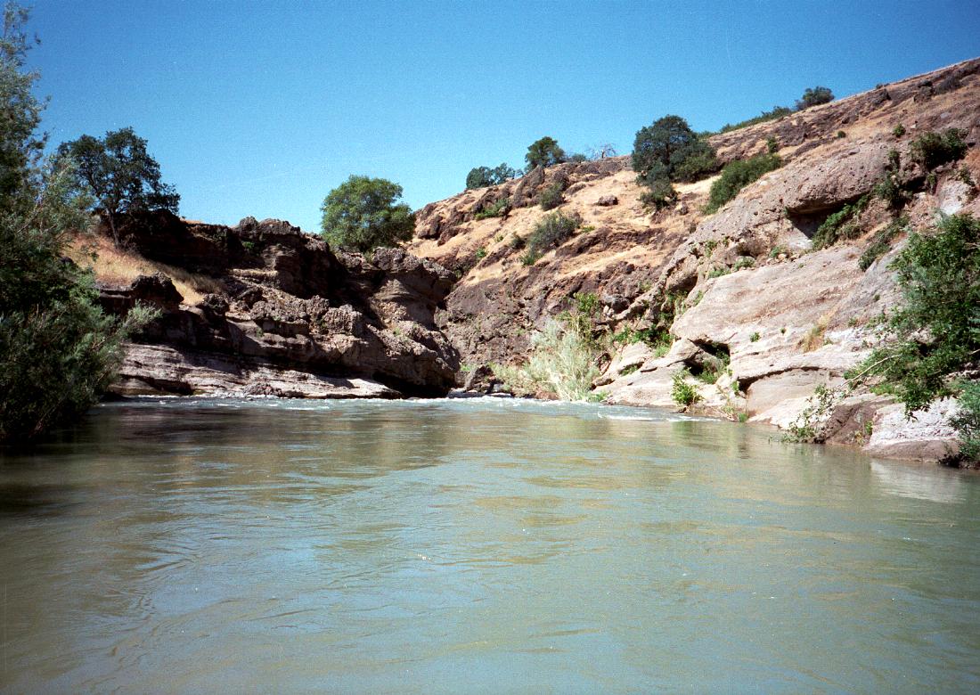
Mill Creek from Ponderosa Rd. to Highway 99 is an unusually scenic run,
which should be boated more often than it is. Since its season is later
than Deer Creek's, it is possible to do both runs every year.
Although the water is quite silty because of volcanic ash deposits high
on Mount Lassen, the lava scenery is fantastic. In perhaps a dozen places,
the creek runs thru deep gorges only a few meters wide, often with ferns
growing from the overhanging cliffs. Locals claim to have jumped from
one bank to another, which is certainly possible at several spots.
Class IV rapids occur consistently, until you hit the diversion dams in
the Sacramento valley. There are some steep class IV+ or V- rapids near
the beginning, two narrow class V gorges in the middle of the trip, plus
a .3 mile portage around a class VI near the end.
Charles Martin's guidebook Sierra Whitewater disrecommends this run,
saying, “we were so scared the whole time that we had little chance to
enjoy the fine scenery.” Stanley's second-hand 2nd edition writeup claims
that some plastic boaters did the whole run without portages. As usual,
the truth is probably somewhere in the middle. I have no idea what quirk
of hydrology made it possible for kayakers to run (not portage) Dead Man's
Narrows, a log-choked class VI nightmare around mile 23. However Holbek's
3rd edition writeup gives the impression that he ran this in 1993.
We completed the trip in 1.5 days, though we brought food for 2.5 days.
Four of us agreed that Mill Creek is harder than lower Deer Creek, but
easier than upper and lower Deer Creek combined. There are fewer class V
rapids on Mill Creek than on upper Deer Creek, but the portaging is worse,
and the murky water makes submerged rocks hard to see.
-
mile
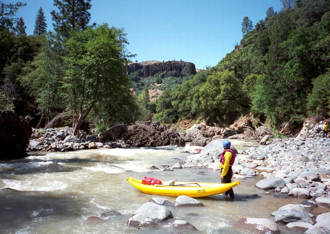
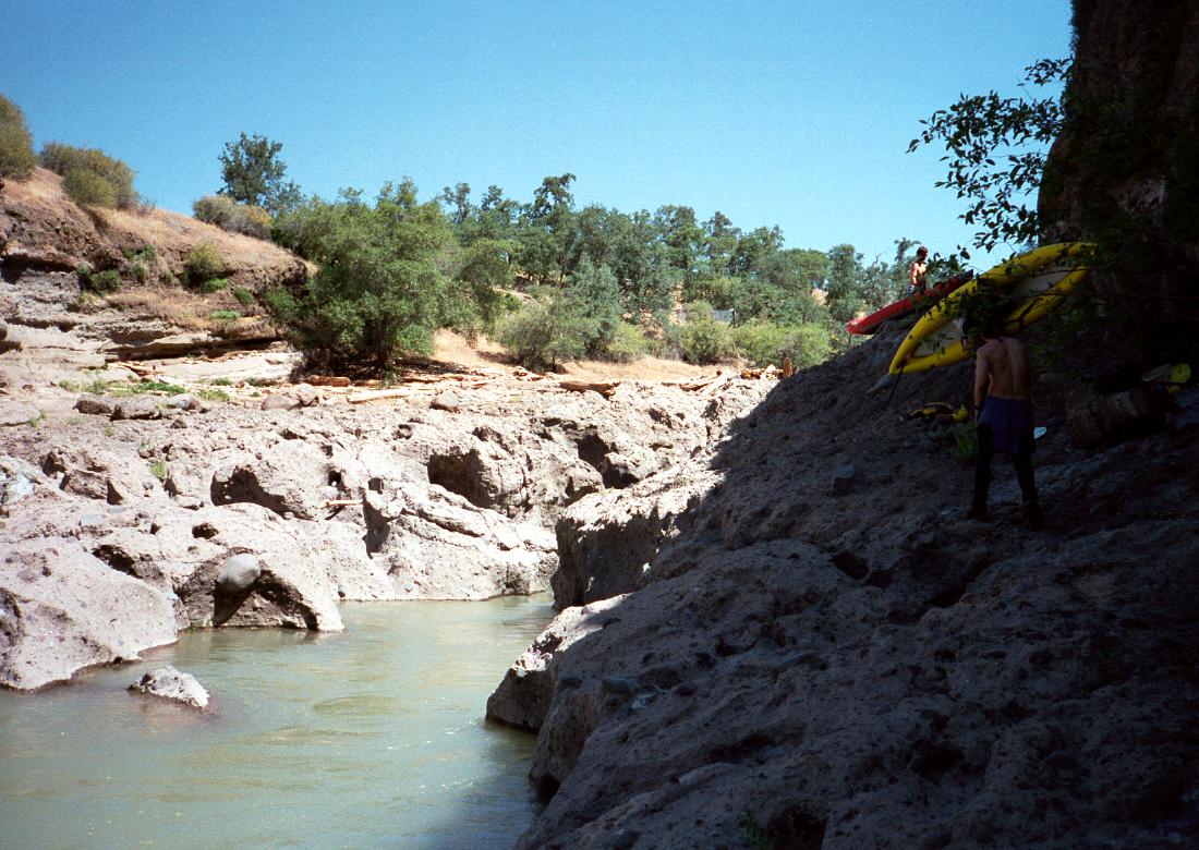
0
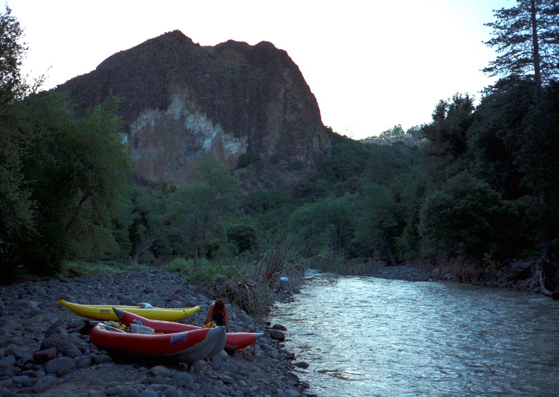
- Put in at on the right bank at Black Rock campground, where mosquitoes
are a problem in early morning.
-
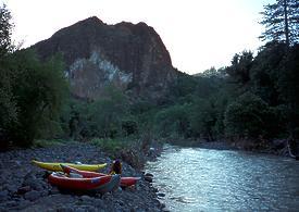 Early morning put-in below Black Rock
-
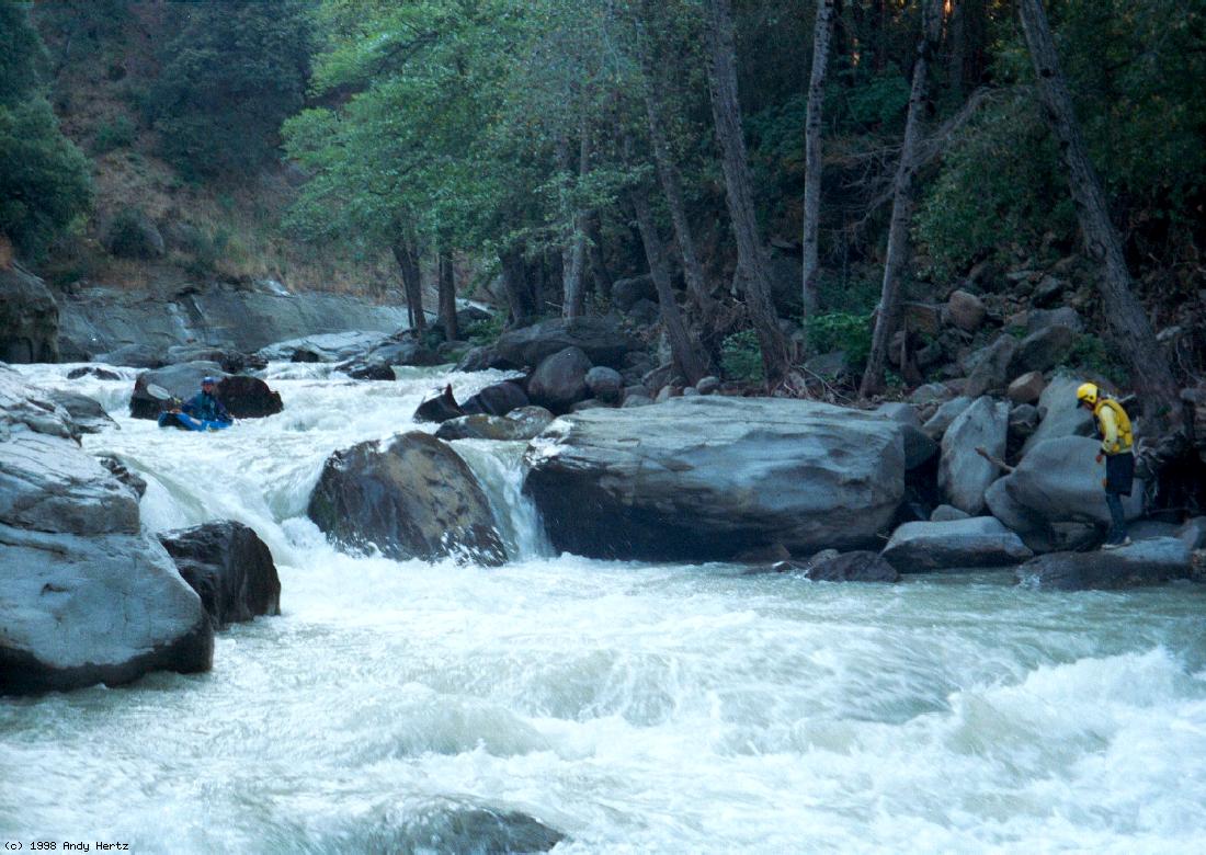
- The creek flows pleasantly over gravel bars and thru boulder mazes,
and then the bottom drops out. The gradient is almost 90 fpm for
about 6.5 miles. A hiking trail on the right bank provides an exit.
- .5
- Pioneer's Portage, class V-, scout left
Halfway down is a steep falls in the center with a small log below.
A less turbulent channel against the right wall is mostly blocked by
a large tree (1997). The only feasible exit on the bottom right goes
into a big hole.
-
- .7
- Landslide, class IV+ or V-, scout right
The left bank slid, probably in the flood of 1997, creating a long
boulder slalom with an exit that is difficult to scout. Enter in
the center, move right, then cut hard right to avoid a hazardous
boulder mess that plugs all the lazy exit routes.
-
-
- Afterwards, mostly boat-scoutable class III-IV rapids for over a mile.
- 2.5
- Ramirez' Rescue, class IV+, scout right
A wide open boulder garden with a tricky center route (1997) that
fully rewards your scouting efforts. Named for an incident during
the first kayak descent.
-
- 3.5
- Long Point visible on right, large creek comes in on left.
Some class IV ledge drops occur, runnable in today's plastic boats.
- 5.5
- Avery Creek (perhaps dry) comes in on right. Nice side hike.
- 6.2
- Another creek comes in on right, and gradient tapers off. Distinctive
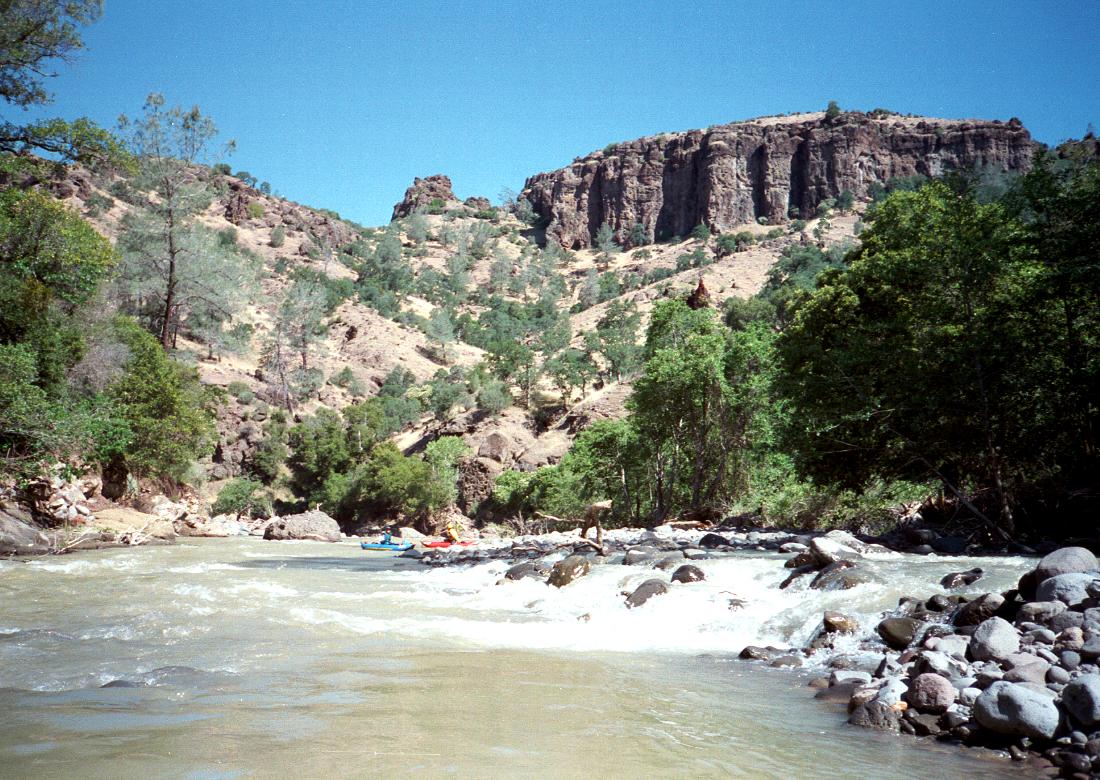
Table Mountain soon comes into view.
- 8.5
- Table Mountain Gorge, class IV-V. Boat Gunwale creek on the left
announces the start of this section. Charles Martin doesn't even
mention this gorge, but here it is. The cliffs rise on both sides
of the river, and huge boulders often choke your way. One line
and one portage might be necessary because of downed trees (1997).
After about a mile, the canyon opens up.
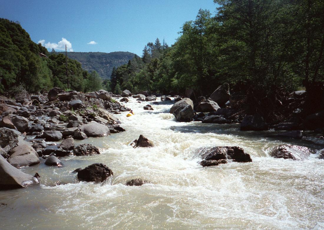
- 10.8
- Deep Gorge, class V. Charles Martin doesn't mention this gorge
either, which contains the toughest runnable rapids on Mill Creek.
Class IV-V rapids continue unabated for what seems like 2 miles.
The first one is a long steep chute, runnable but easily portaged
on the left. All the rapids are runnable (1997), although some only
marginally so, and all can be portaged with moderate effort near
river level, although one required passing boats from a small eddy
at the brink of a falls up a cliff, a team effort.
-
- 14.5
- Little Mill Creek comes in on the left.
From here, Mill Creek alternates between relatively open sections
and ultra-narrow class IV gorges in the soft lava bedrock. If a
tree blocked any of these passages, it could spell disaster.
- 17.6
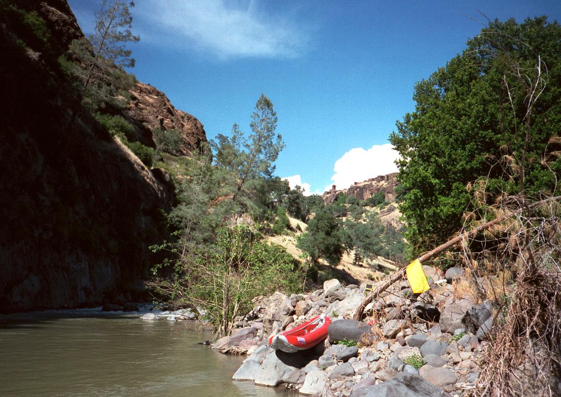
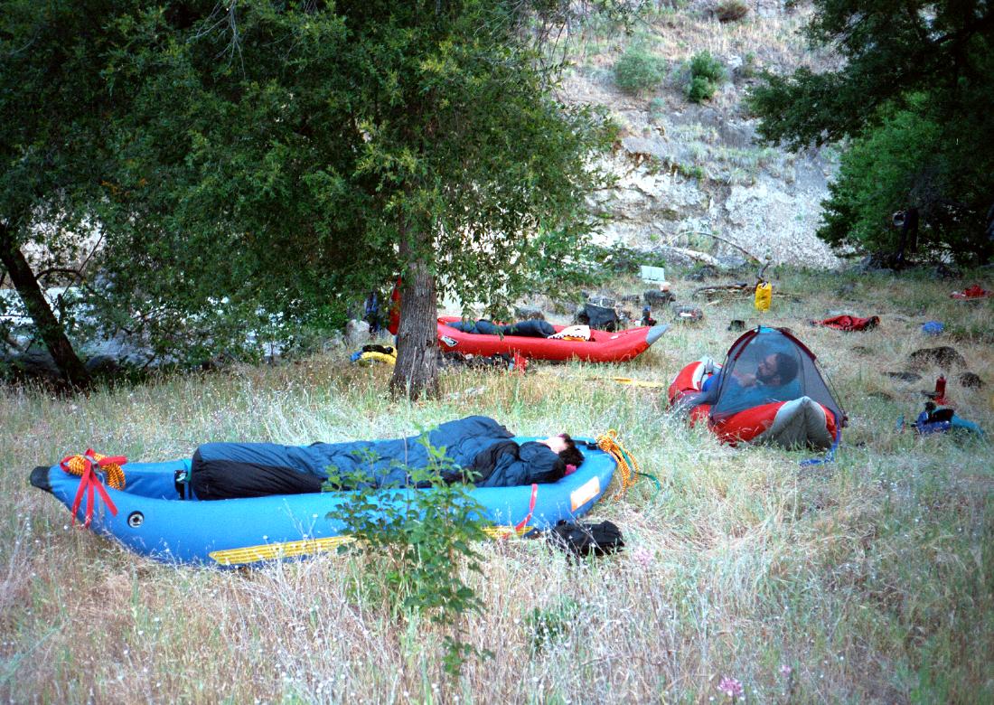
- Small creek comes in on the left. Just past the next rapid, across
from a cliff, there is an excellent bench camp on the left bank, with
a sandy beach below. Good camps are hard to find on Mill Creek.
-
-
- The creek continues alternating between relatively open sections
and ultra-narrow class IV gorges in the soft lava bedrock. The
tension mounts in anticipation of...
- 23.2
- Portage! Dead Man's Narrows, class VI
Recognition: the canyon opens up into grazing land, and the smell
of cows assaults you for the first time. There is a ramshackle
barbed-wire fence high on the left bank, perhaps not easily visible.
Beach on the left with willows and sandy slope above. A ranch shed,
not visible from river level, is high on the right.
- The rapid: an inviting class III leads into a canyon with vertical
40' walls about 50' apart, and a deadly boulder jumble filled with
logs. You can climb the right bank to scout if you want. At lower
flows it is possible to run the lead-in and portage over large
boulders, but this involves boating past an undercut down below.
It is safer to portage .3 mile over a scenic, and relatively level,
oak-shaded cow pasture on the left.
-
- 23.5
- Several more class IV drops, including an overhang decorated with
maidenhair ferns, and then the creek flattens out.
- 25
- Surprise class IV ledge.
- 25.5
- Diversion dam #1, lineable on left.
- 26
- Diversion dam #2, washed out in the flood of 1997, runnable on right.
-
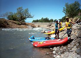 We couldn't believe it was washed out!
- 27
- Diversion dam #3, lineable on right.
On our trip, it was sad to watch Coho Salmon unable to swim up past
this dam, which has a poorly designed fish ladder.
- 27.1
- Class II rapids amid willow and cottonwood scenery, much nicer than
Deer Creek after it emerges into the Sacramento valley.
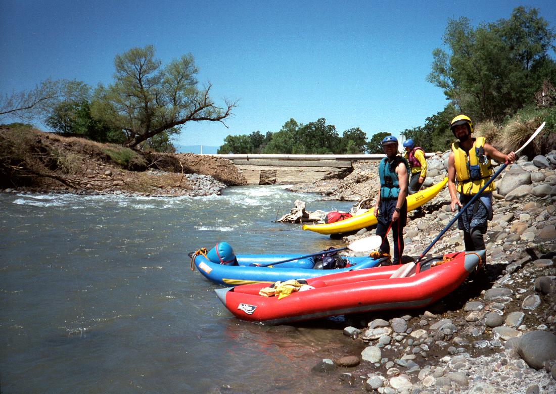
- 29.6
- Highway 99, take out on right bank. There are access points upstream,
but they are of questionable legal status.
For a trip description and more pictures of Mill Creek, see the
Oregon Kayaking website.
Shuttle Directions
The usual shuttle is from the north past Paynes Creek
then on Ponderosa Road to Black Rock.
Pondersa road is even worse to the south of Black Rock than it is to the north.
Steve McCabe lives near take-out in Los Molinos and offers shuttle service,
cellphone 530-519-1040.
Steve is willing to run shuttles on Deer Creek also.
|
|
Creeks Navigation
Home
Recommended Runs
Map of Rivers
Alphabetic Index
Alphabetic Table
Text Search
Sponsored Links
|
 Early morning put-in below Black Rock
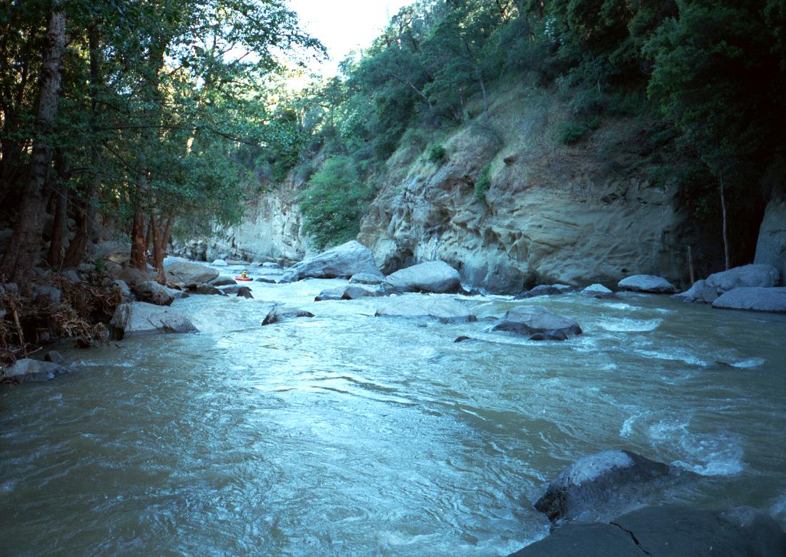

 We couldn't believe it was washed out!