|
Goose Creek into South Fork Smith |
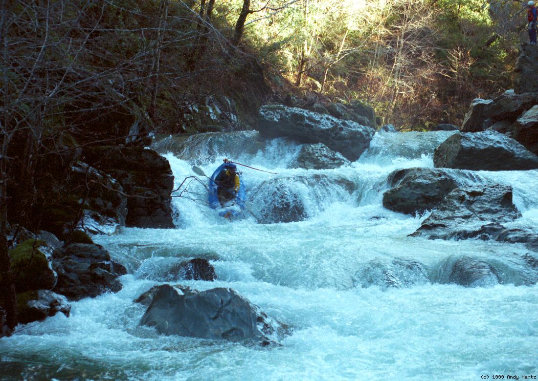
This run is reachable on a dirt road that turns west from Gasquet-Orleans Road 2.4 miles from its final bridge across the Smith. With a good 4WD vehicle and driver, it is possible to drive all the way to put-in; otherwise a 1 mile hike is necessary. Some boaters might want to portage some of the rapids. The Honker is a traditional rapid name, the Tweeter and Woofer are new names. The Tweeter
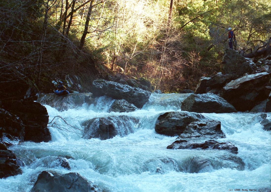
The Honker
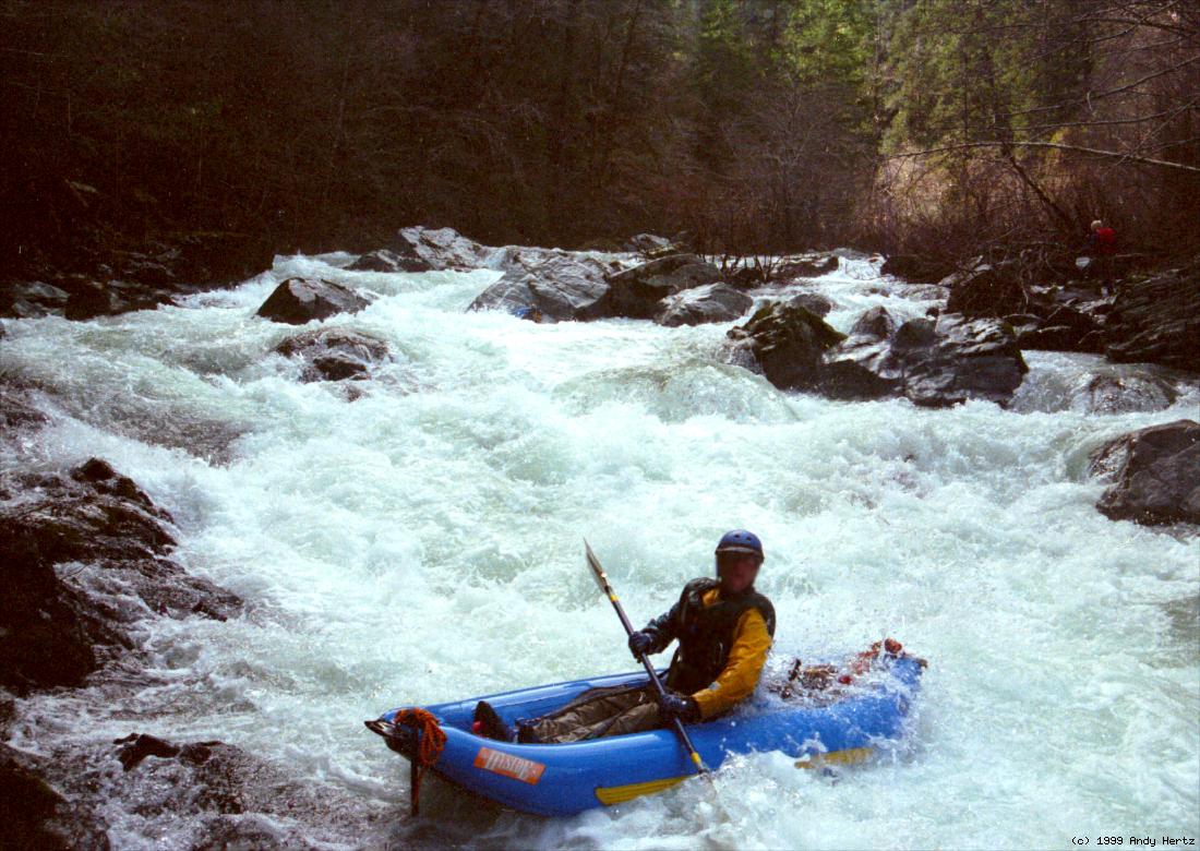
The Woofer
For a longer trip, you might want to continue by boating the South Fork Smith.
|
Creeks NavigationHomeRecommended Runs Map of Rivers Alphabetic Index Alphabetic Table Text Search
Sponsored Links
|