| |
| Stretch: |
Grapevine campground to Mogollon Creek campground |
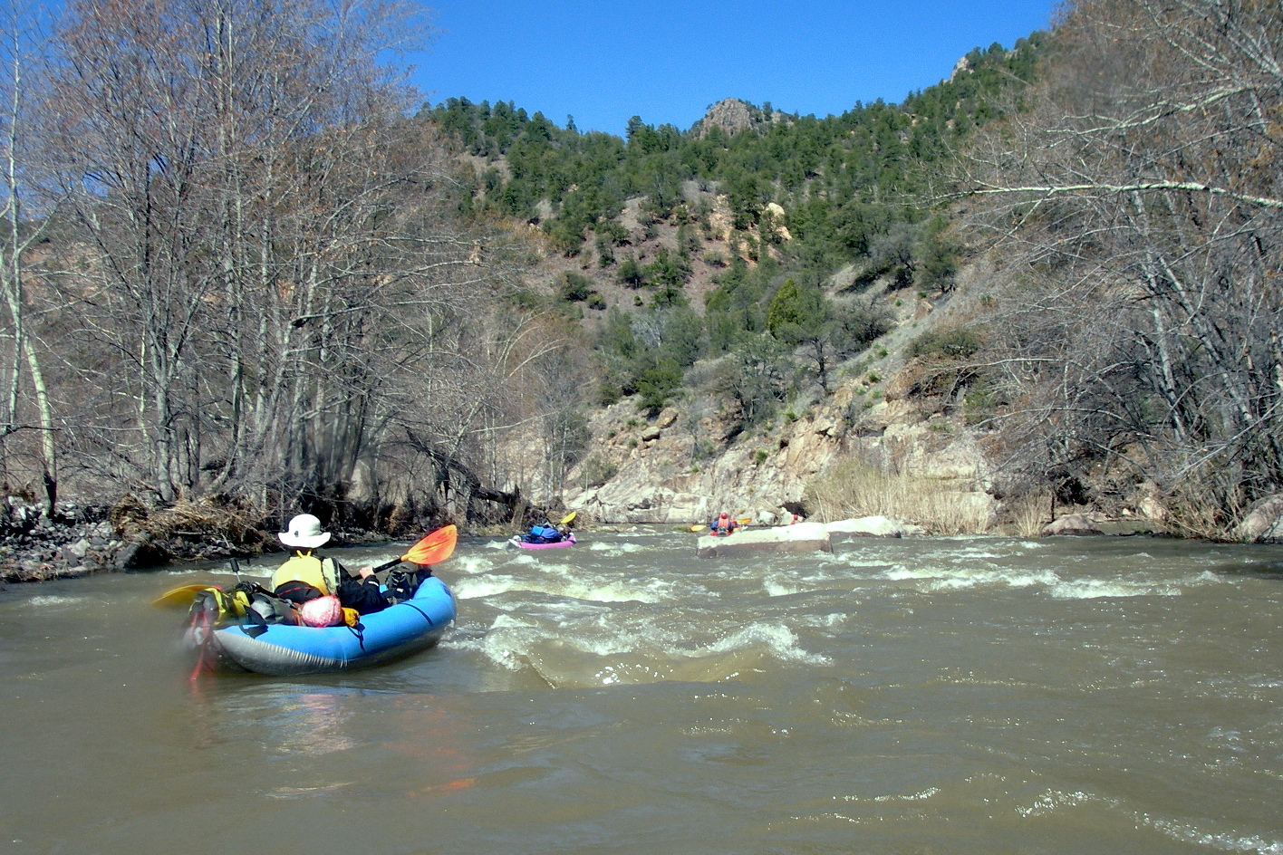
| Difficulty: |
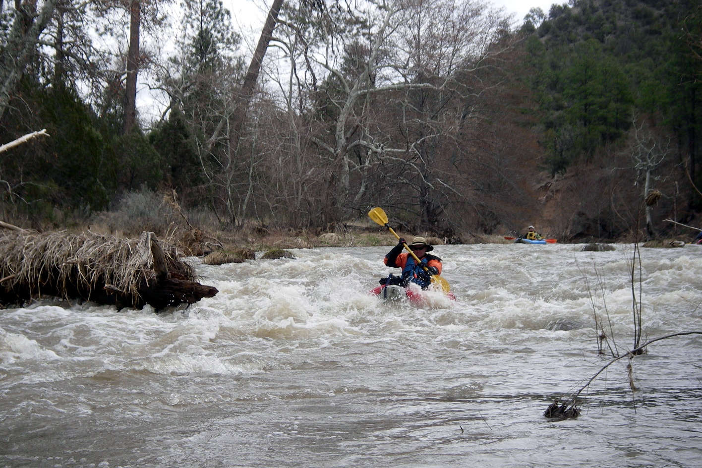
Class II with some canoe-class III and possible downed trees |
| Distance: |
42.6 miles, 4 days or more |
| Flows: |
canoes and kayaks 200 - 1200, raft minimum 500 |
| Gauge: |
measured above Mogollon Creek, near Gila
(USGS site)
|
| Gradient: |
22 fpm average, fairly constant |
| Put-in: |
on East Fork or at highway bridge below confluence, 5560' |
| Take-out: |
on R just below the mouth of Mogollon Creek, 4620' |
| Shuttle: |
75 miles (two hours) one-way, mostly paved |
| Maps: |
Delorme New Mexico, AAA New Mexico,
Topo
|
| Season: |
early spring from snowmelt and rain |
| Agency: |
Gila Wilderness and National Forest |
| Notes: |
© 2010 Bill Tuthill,
CreeksYahoo |
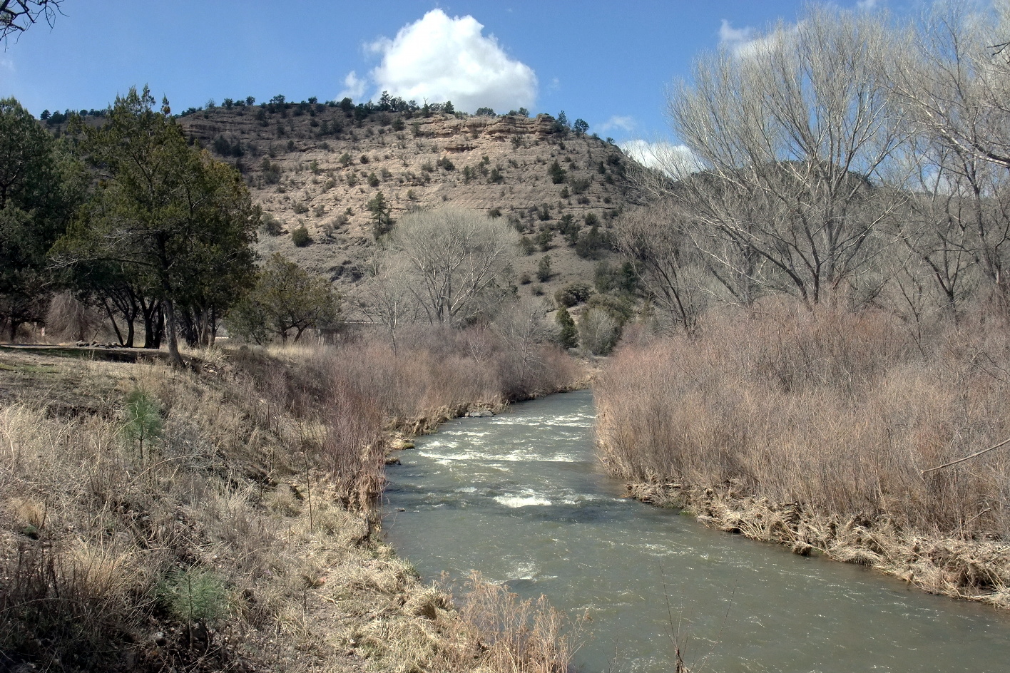
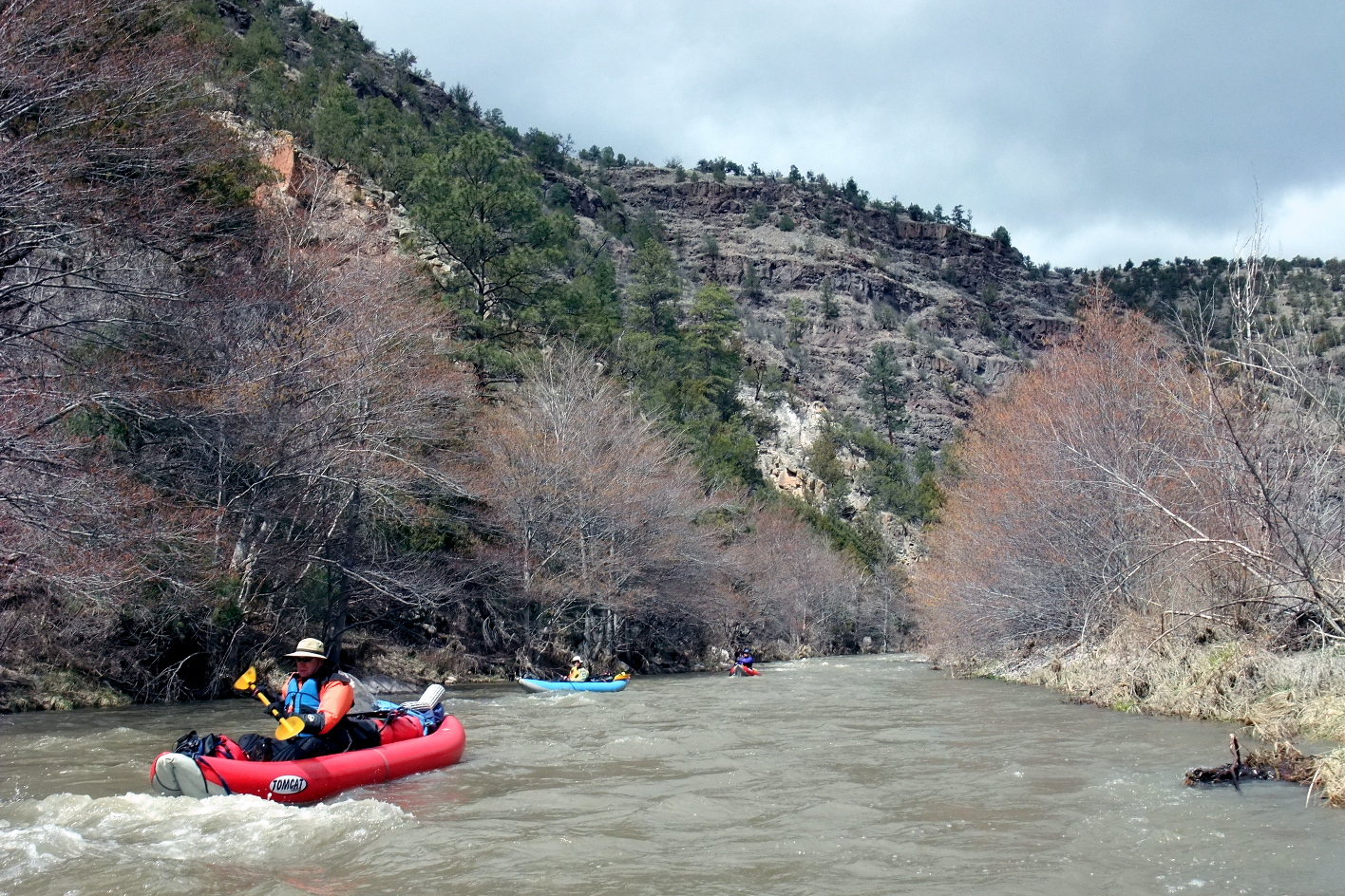
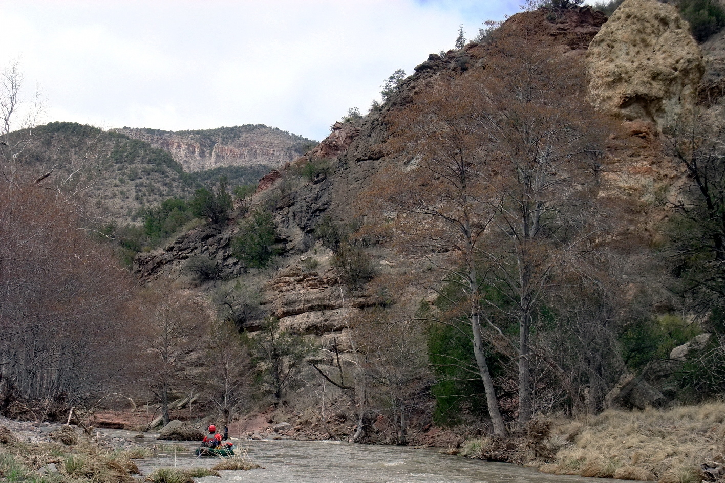
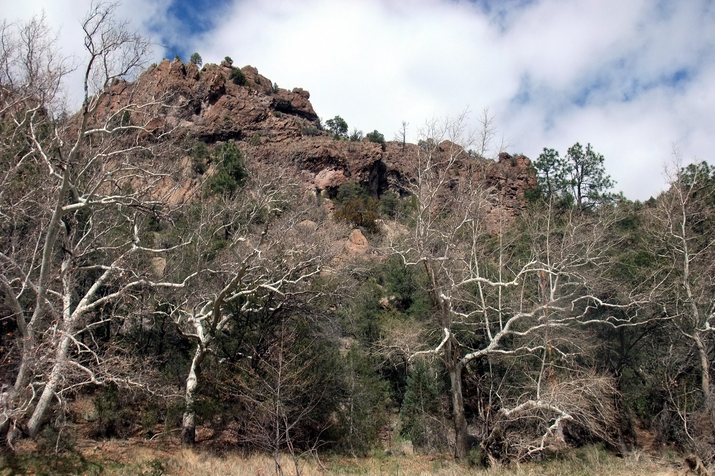
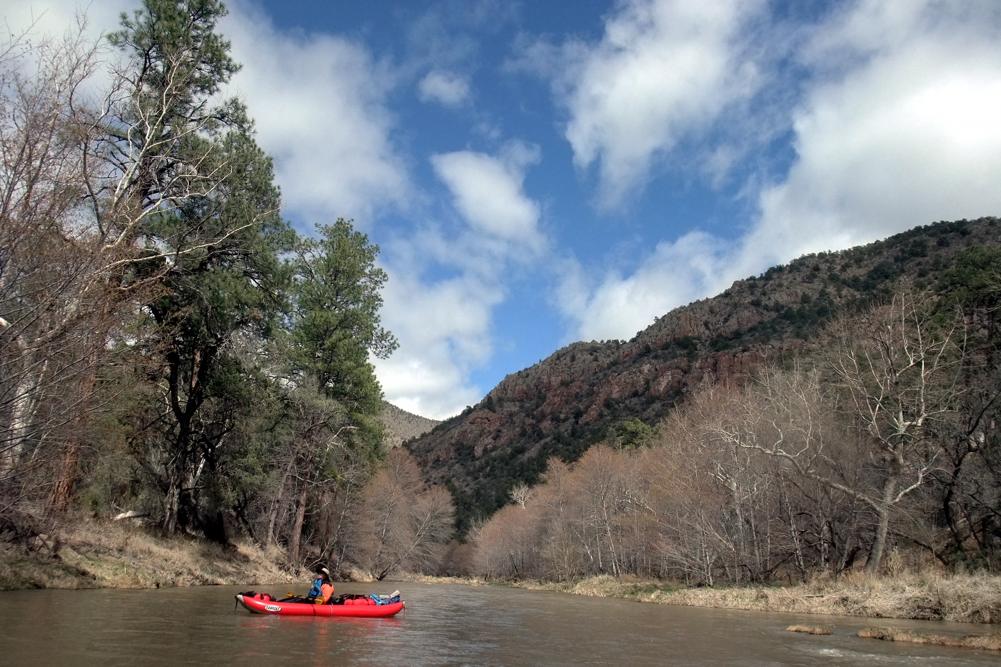
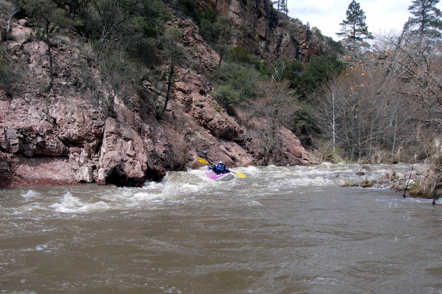
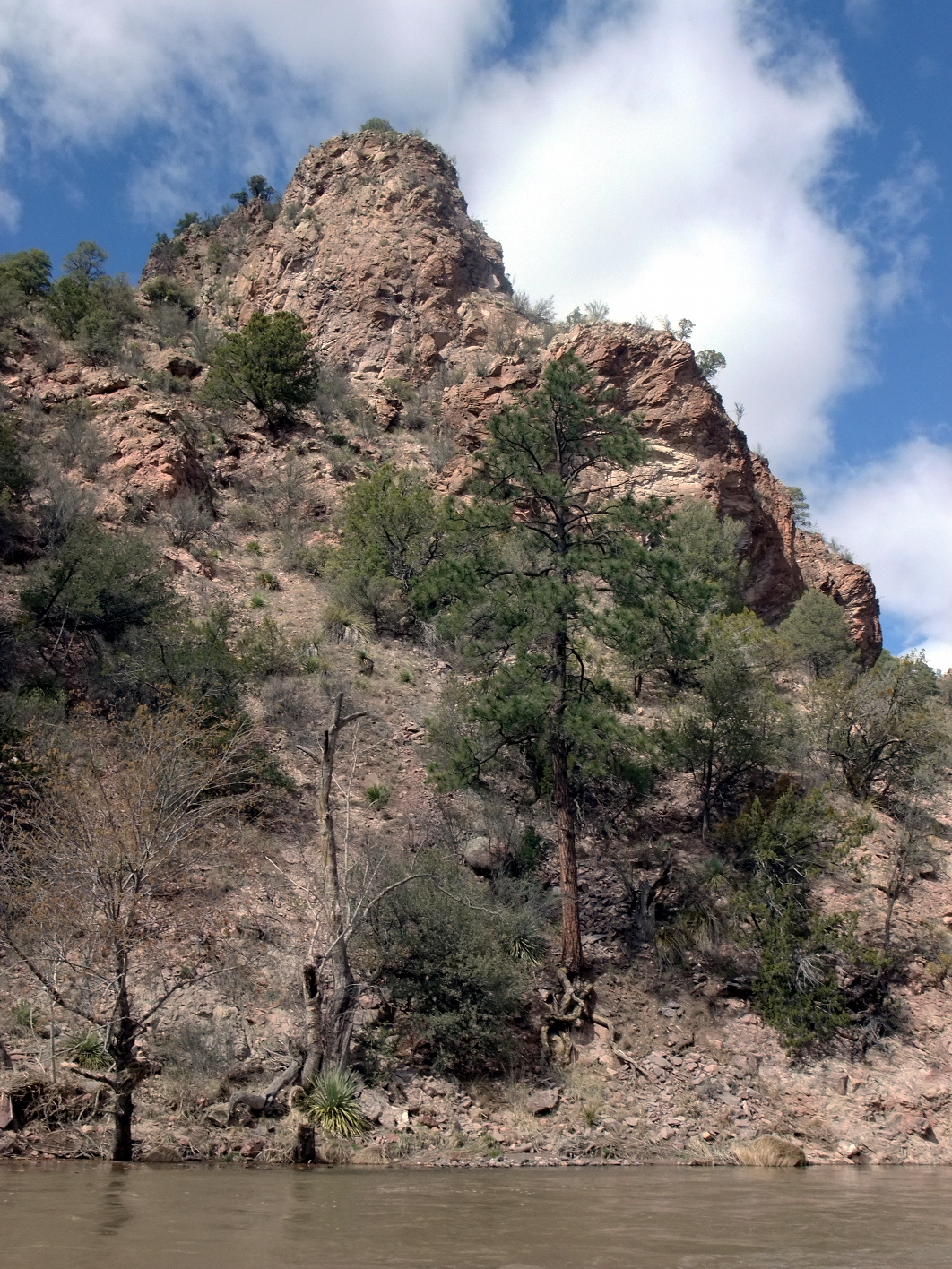
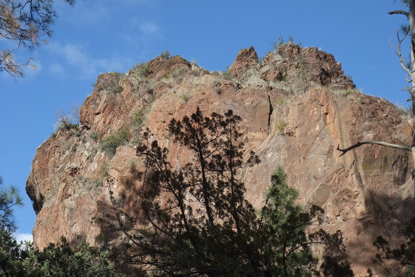
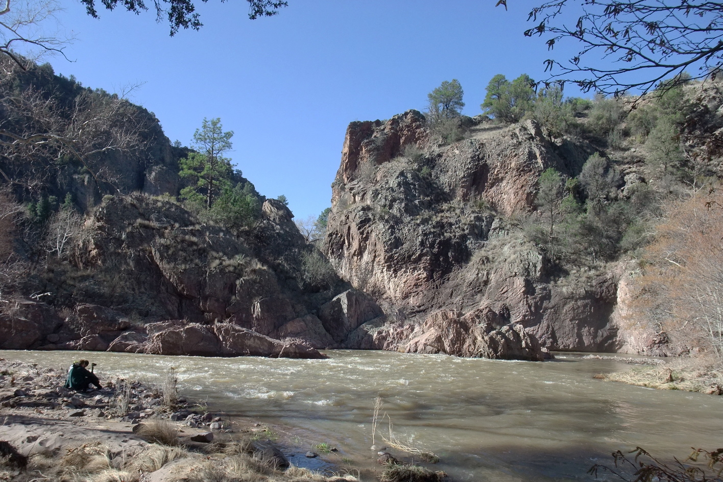
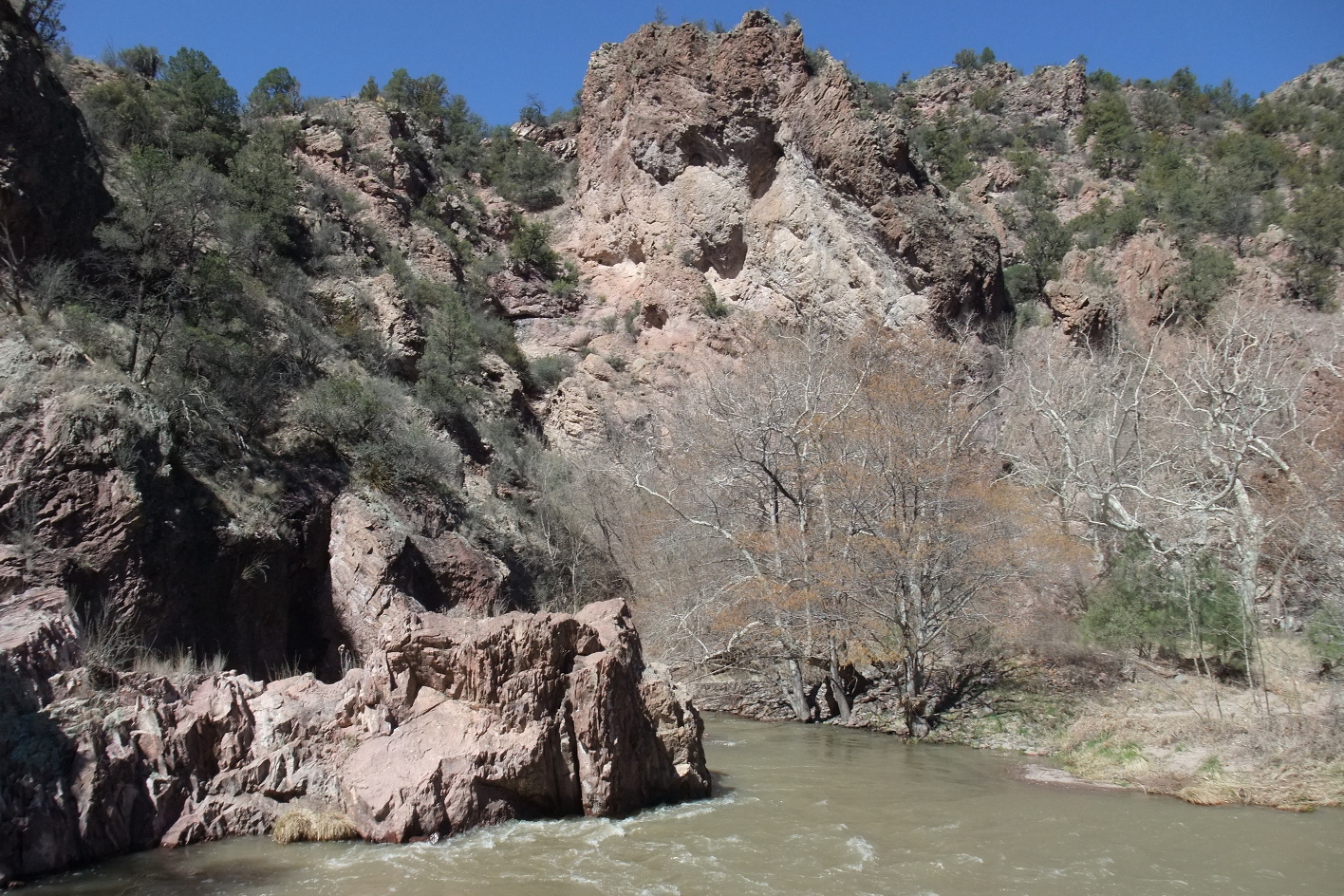
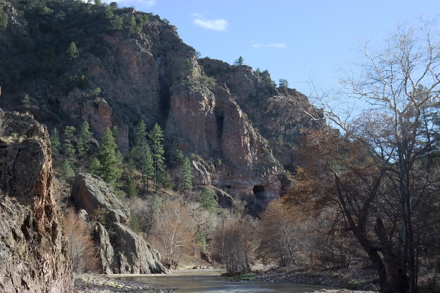
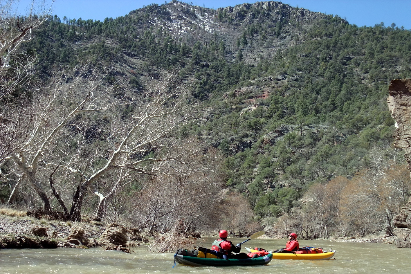
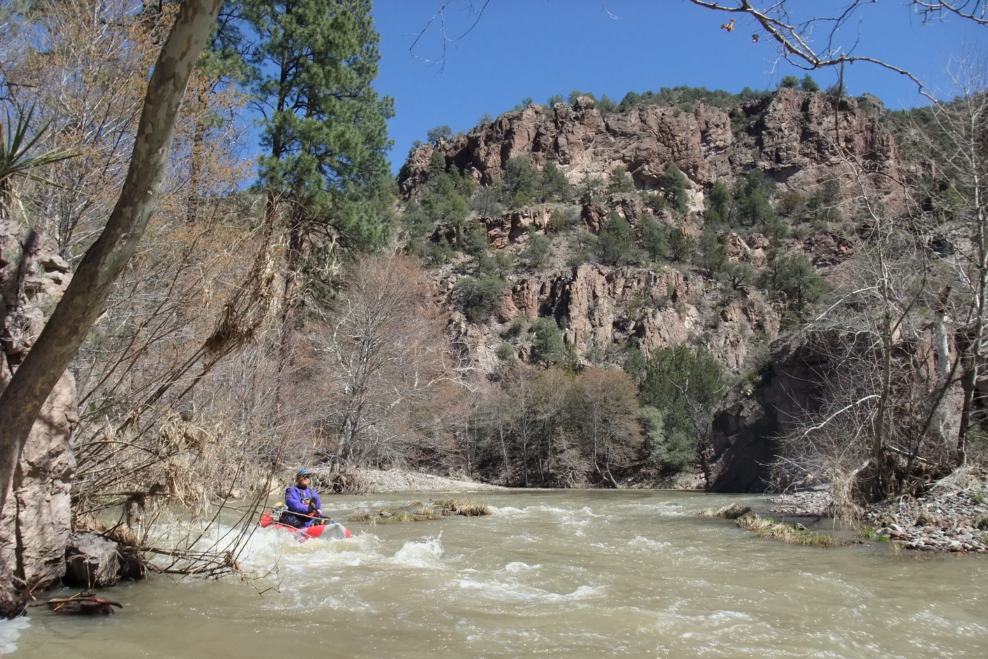
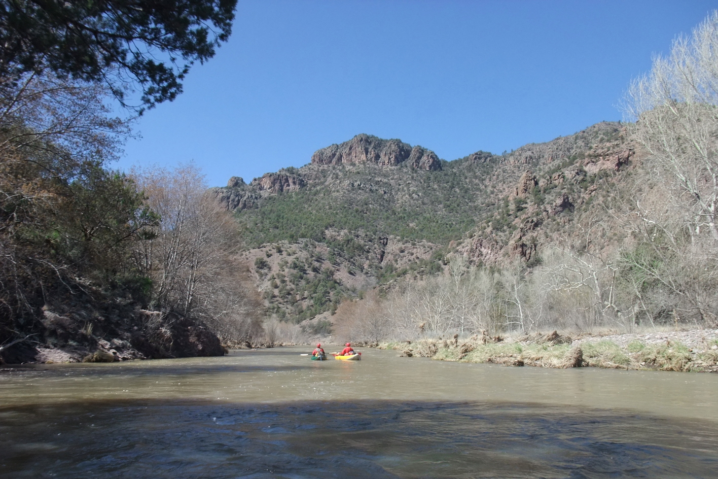
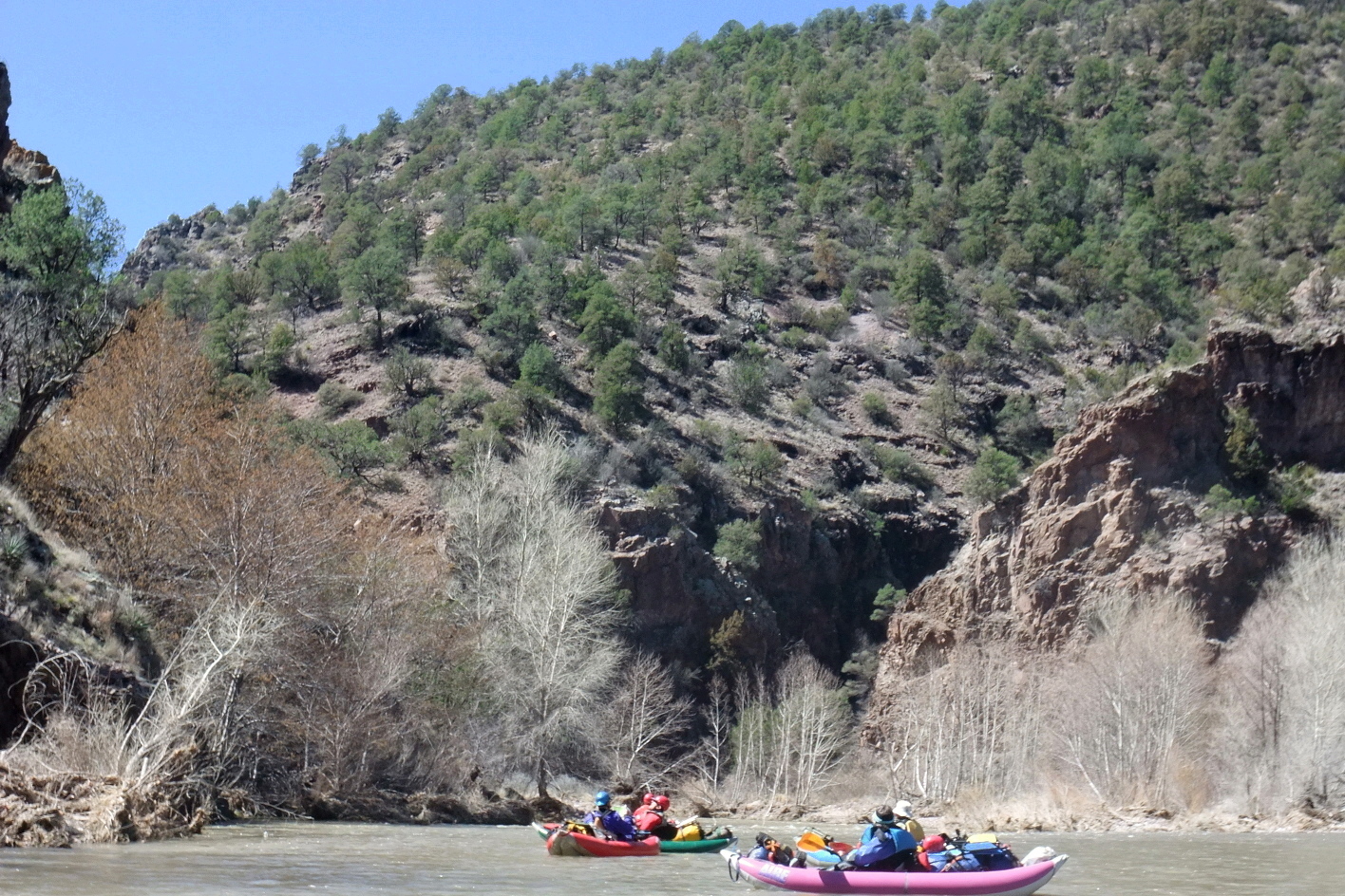
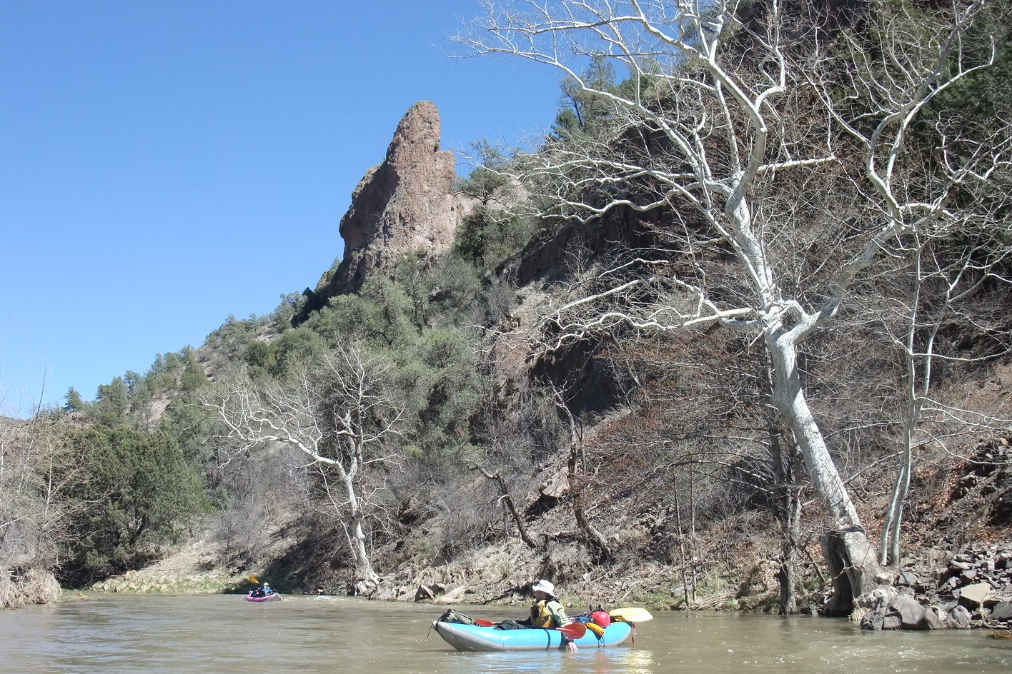
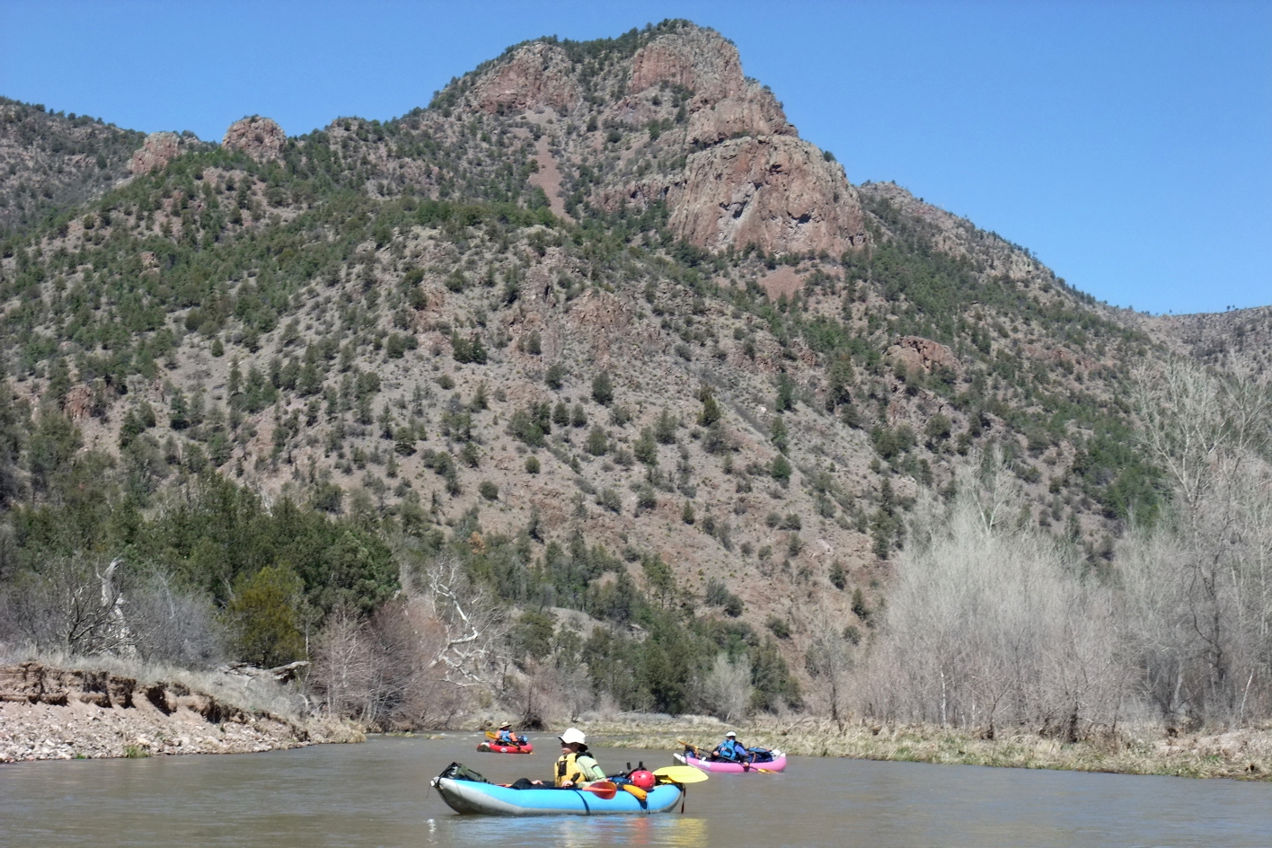
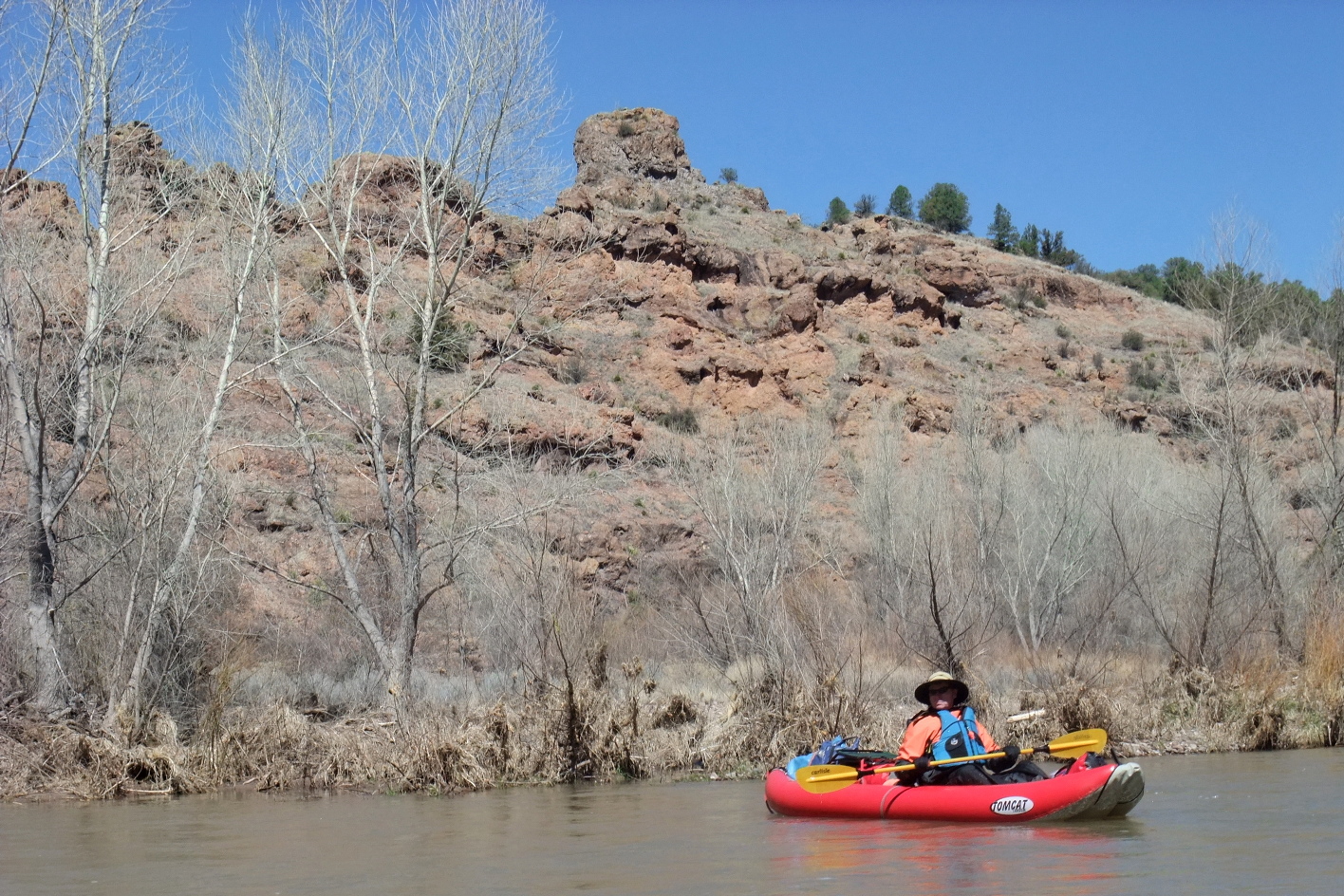
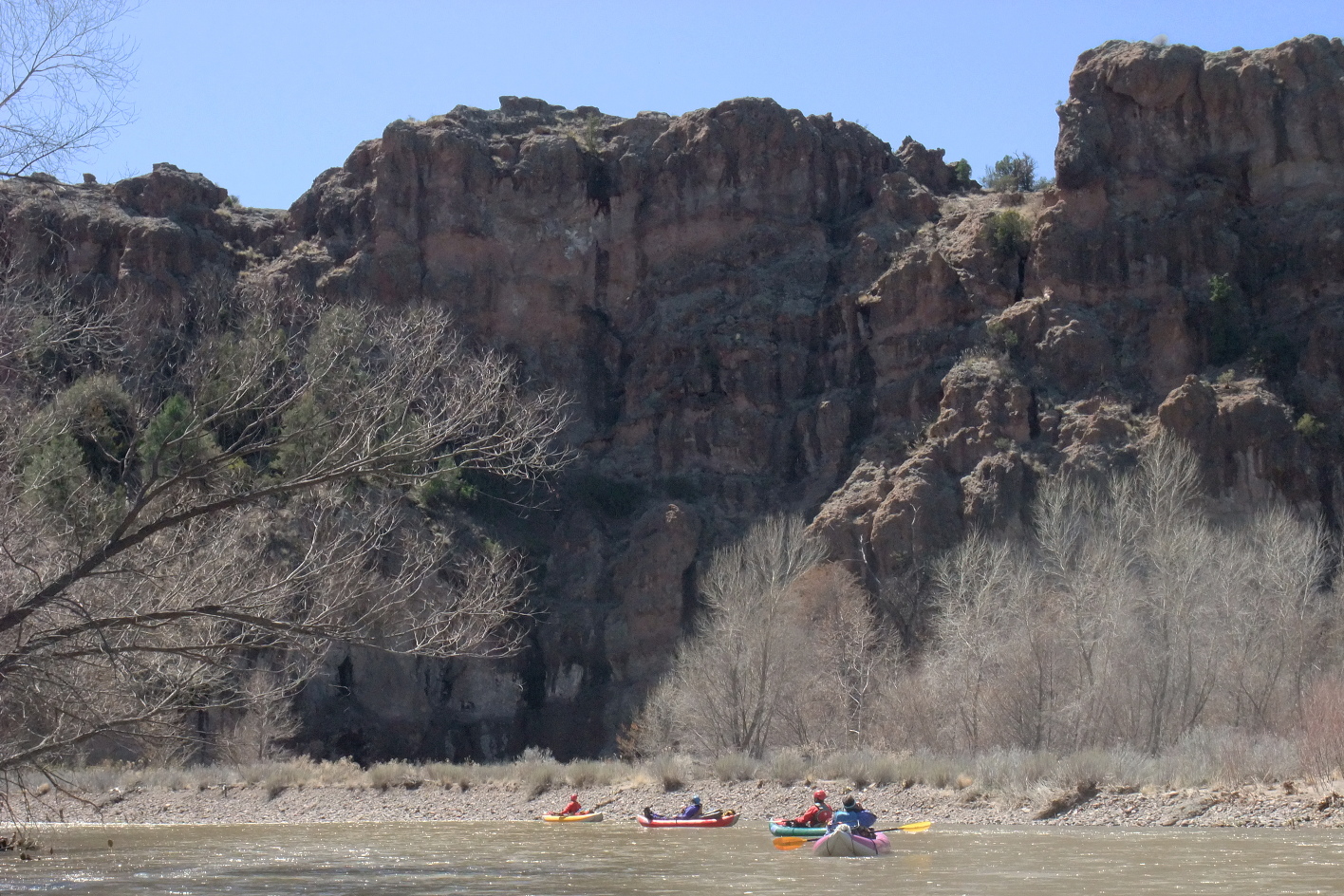
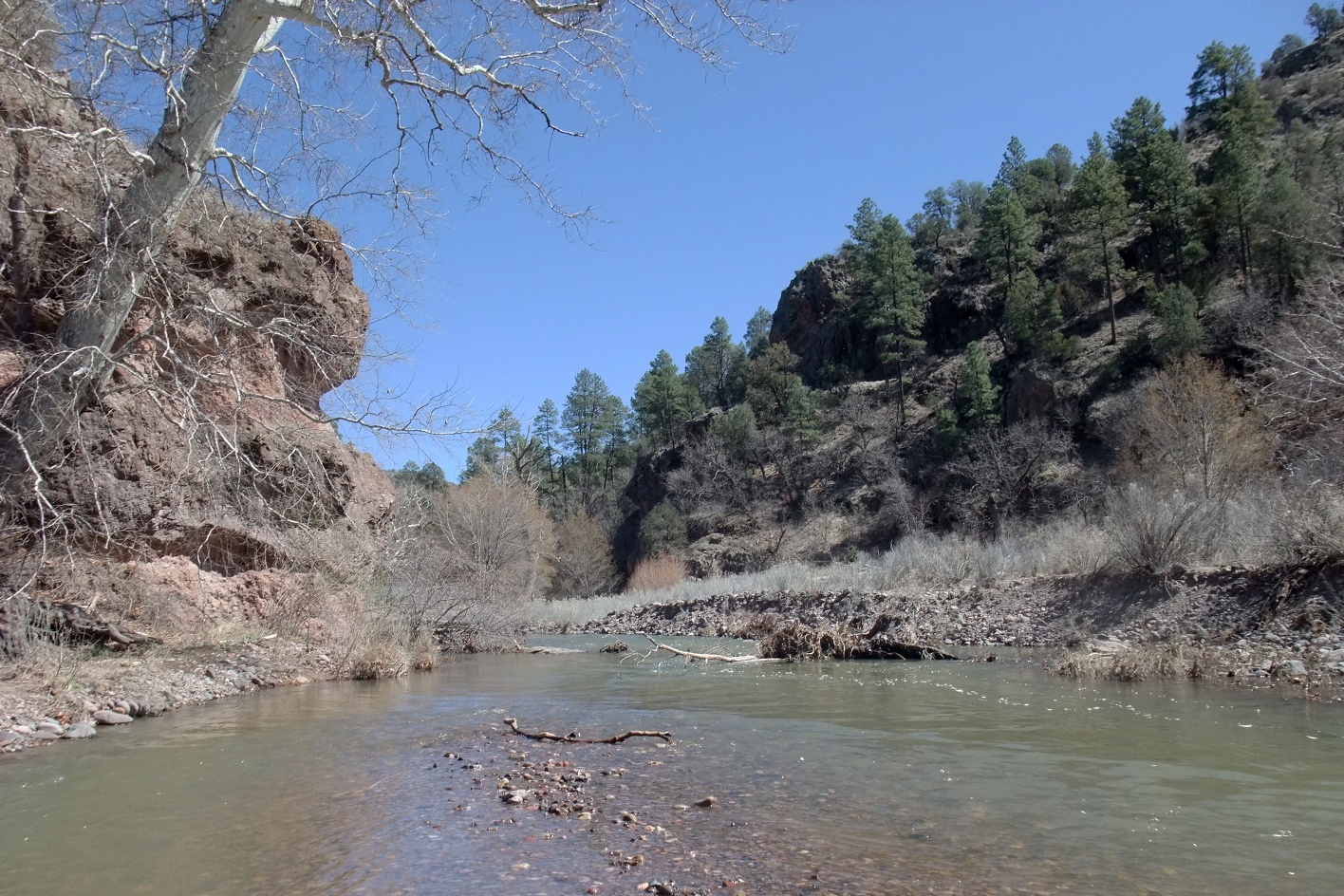
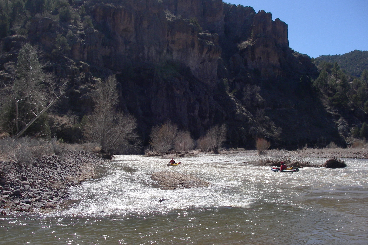
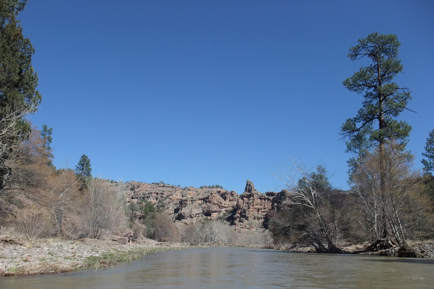
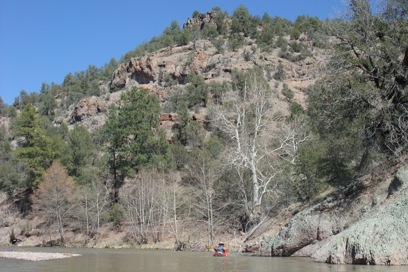
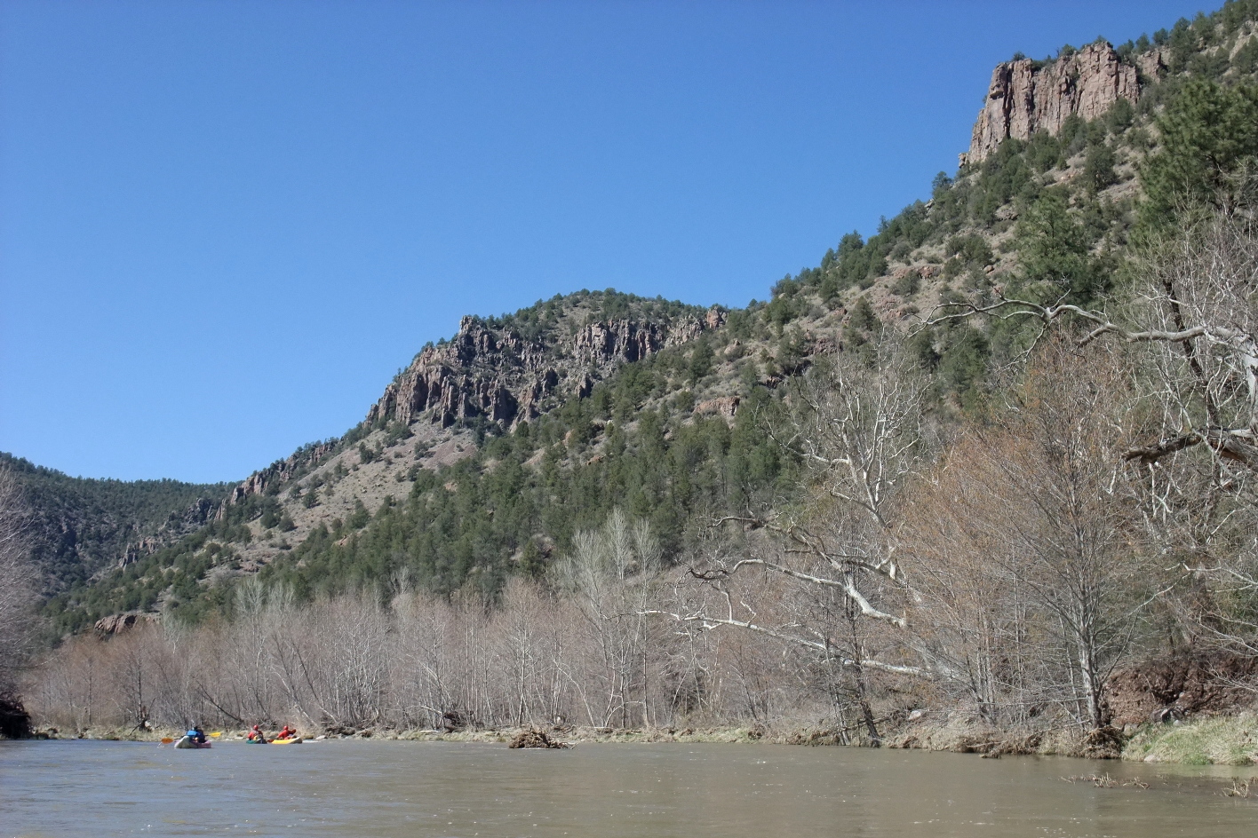
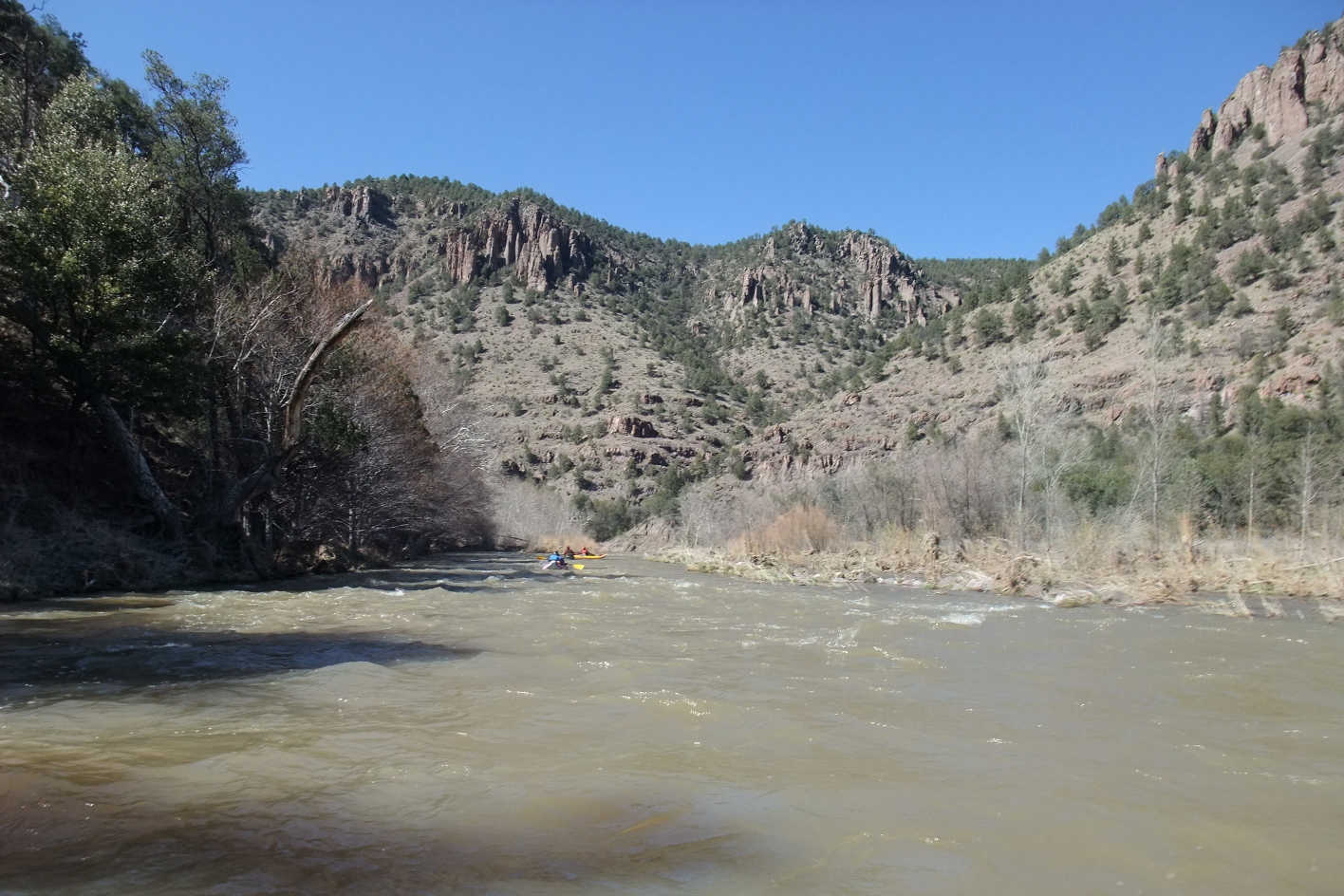
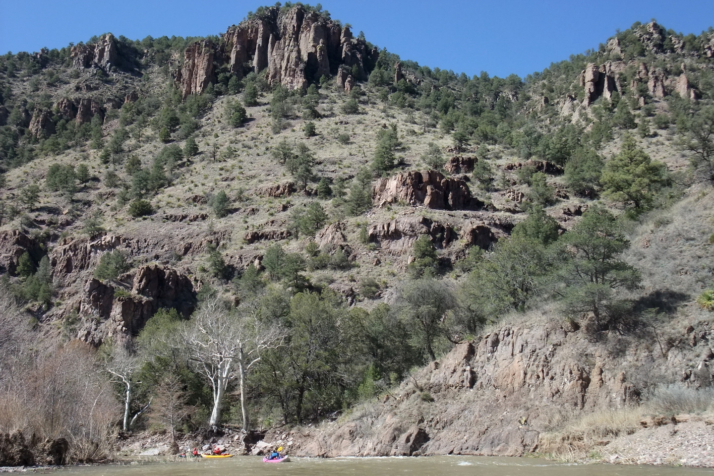
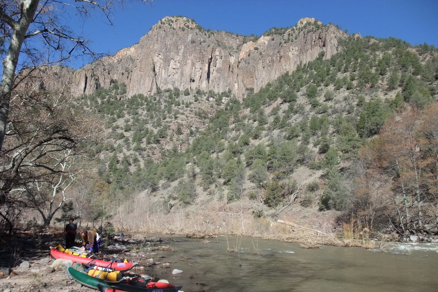
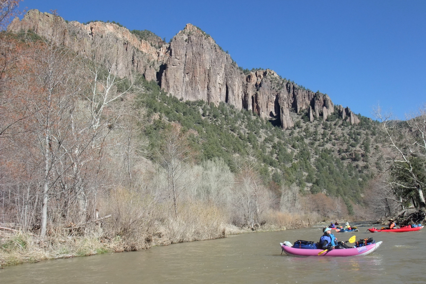
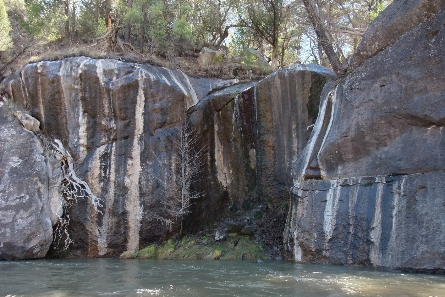
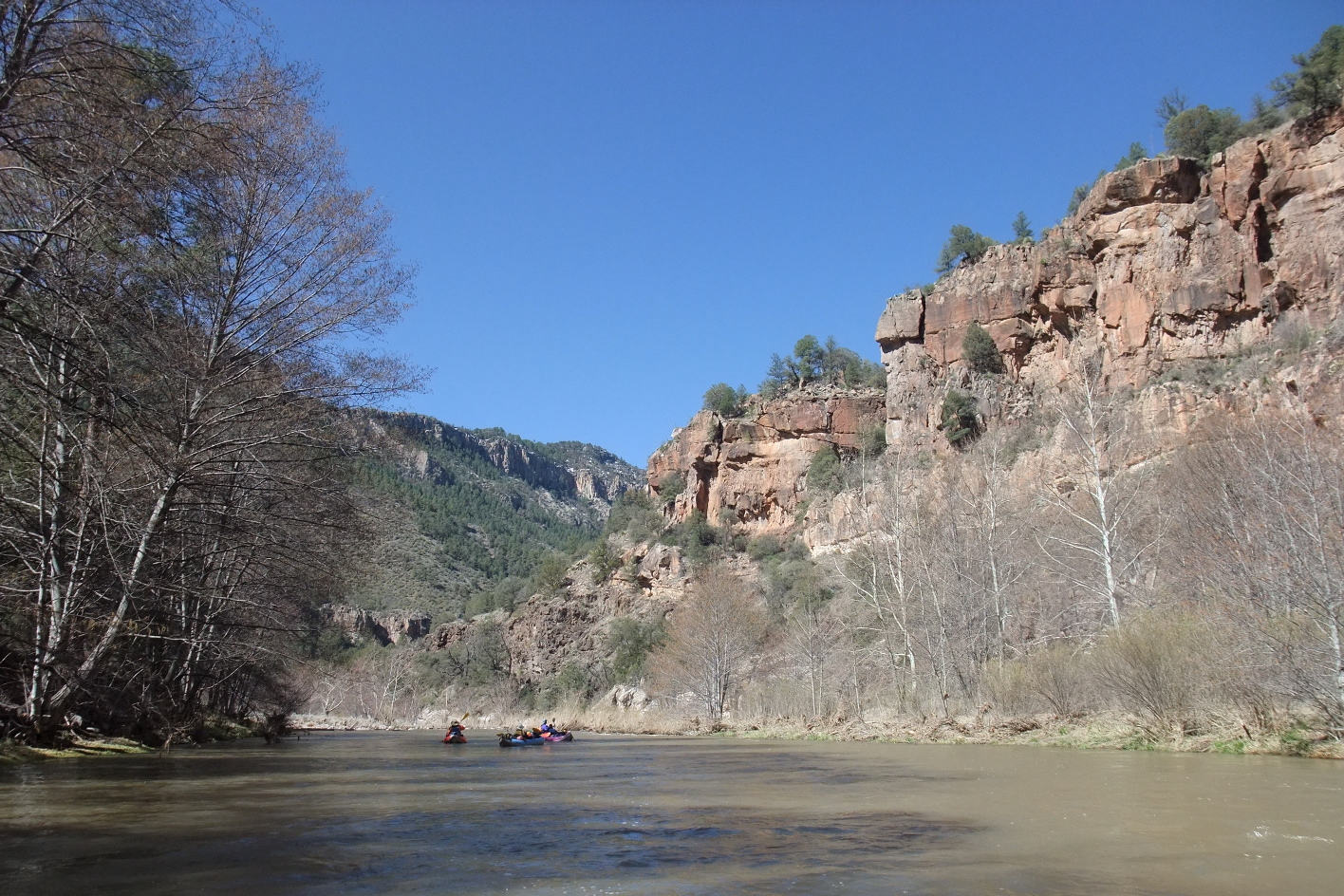
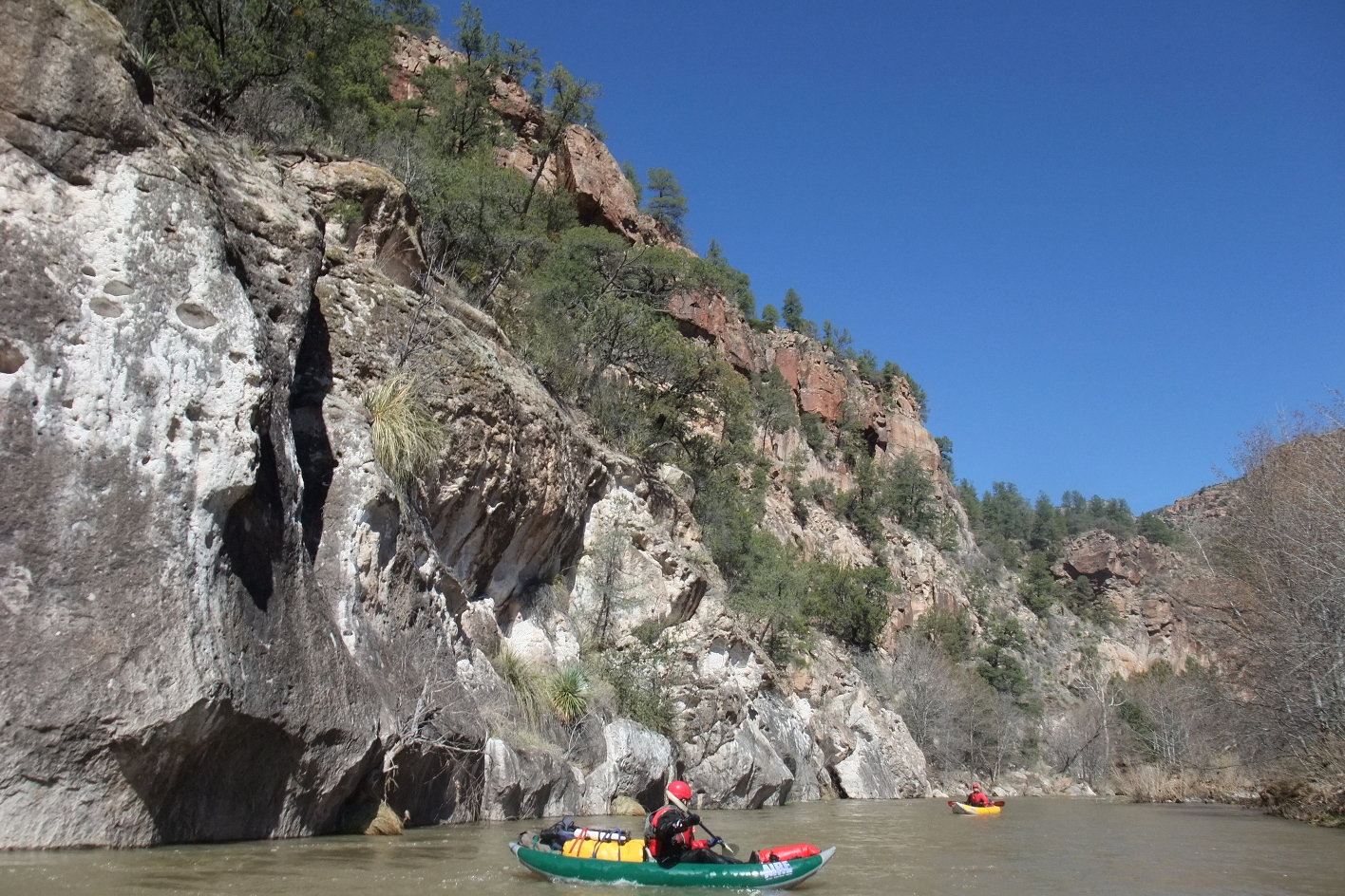
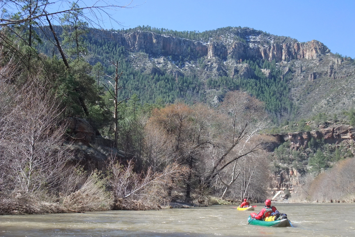
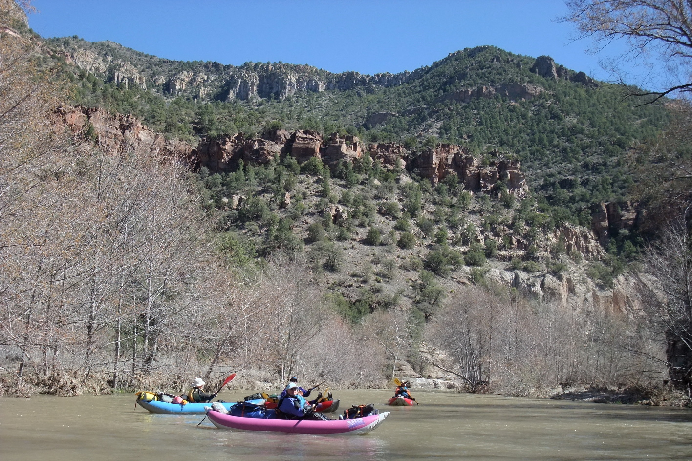
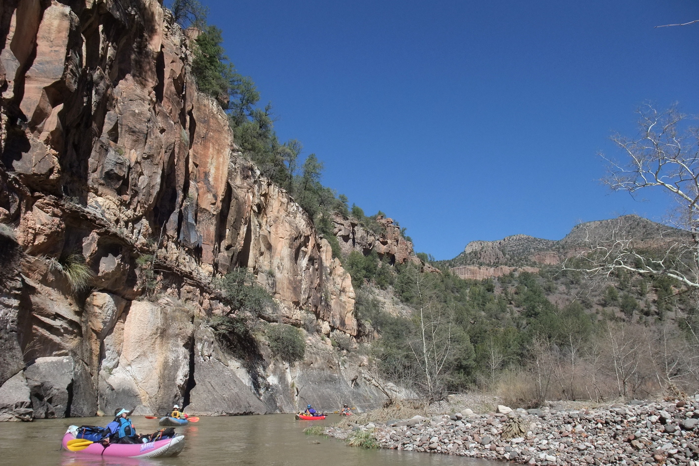
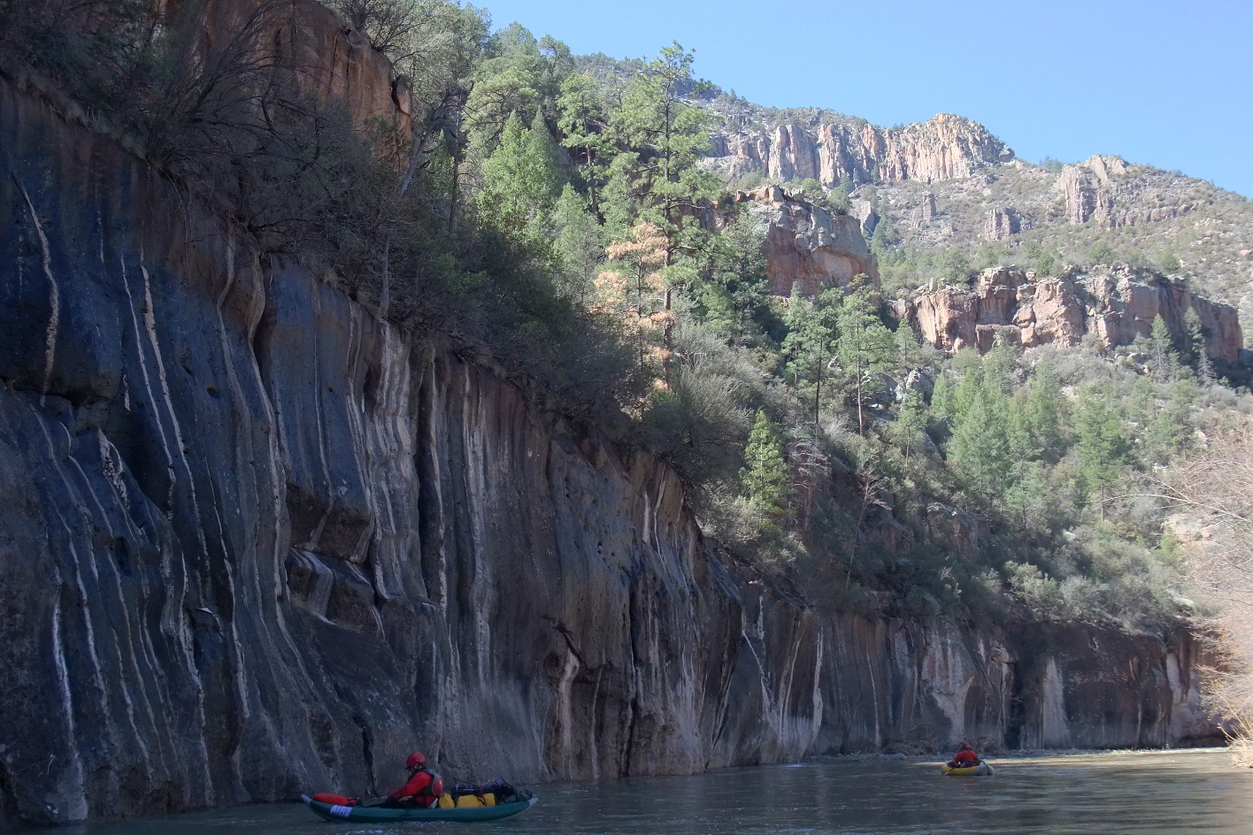
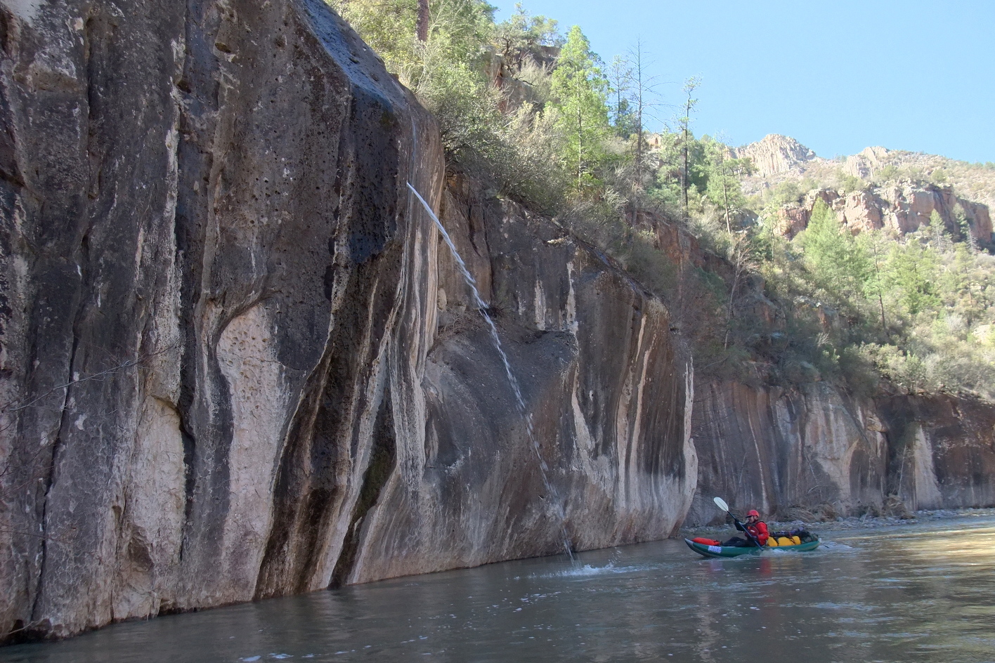
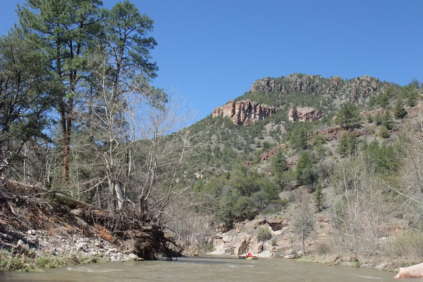
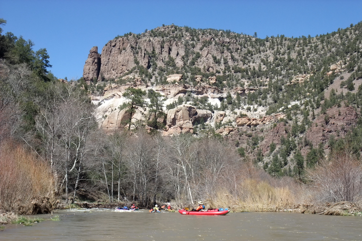
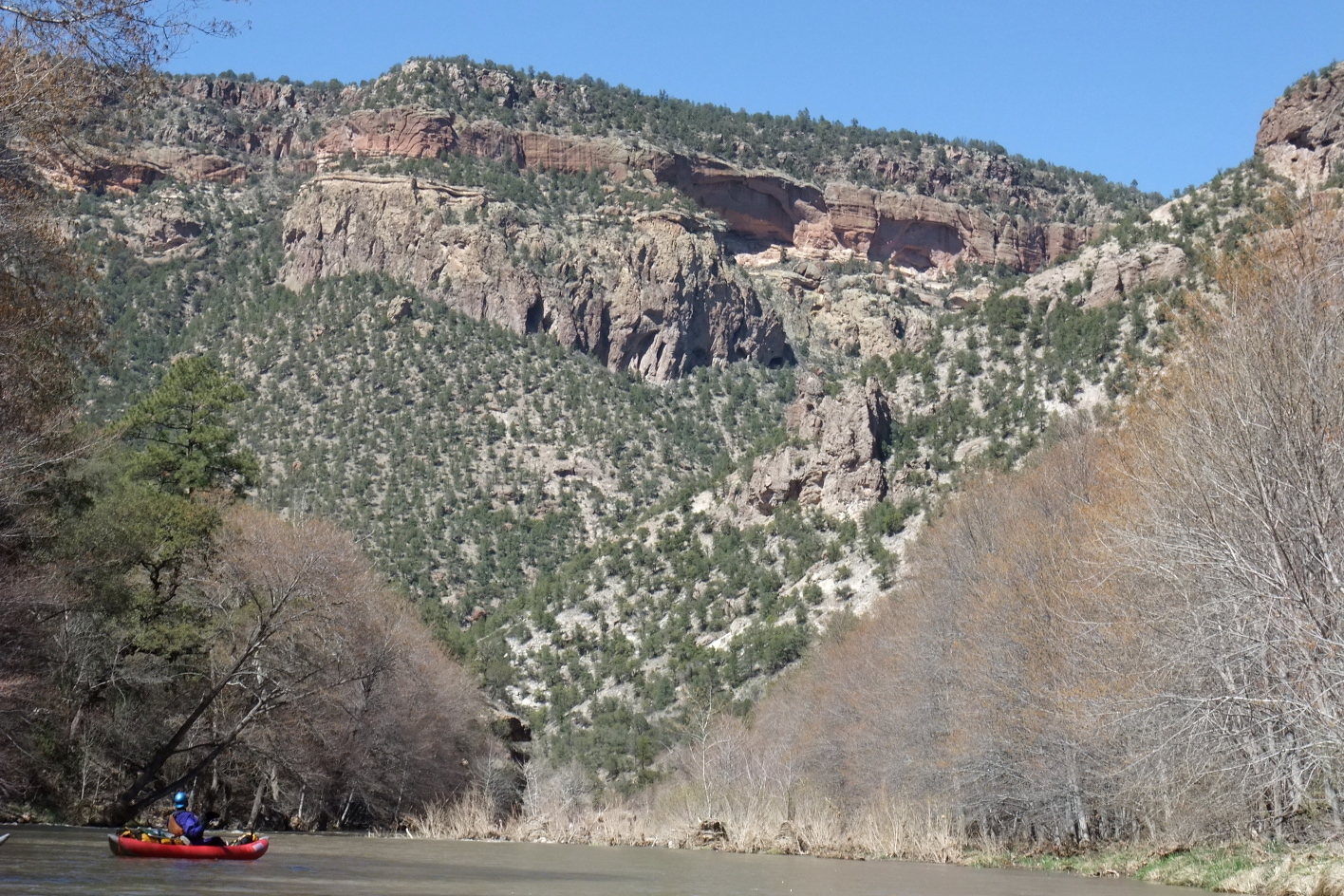
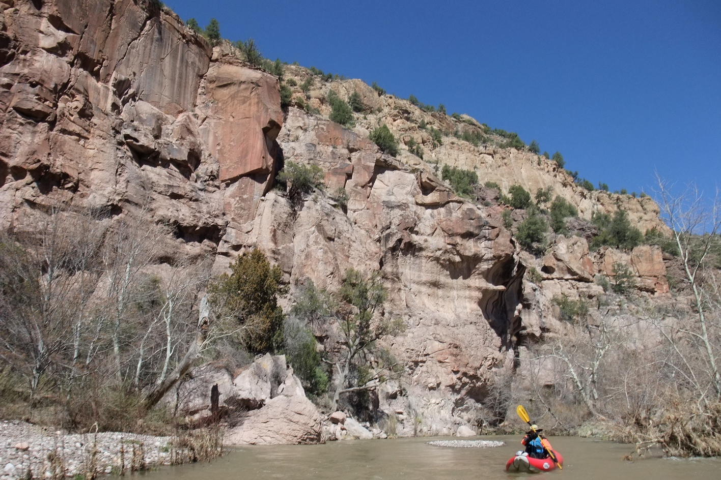
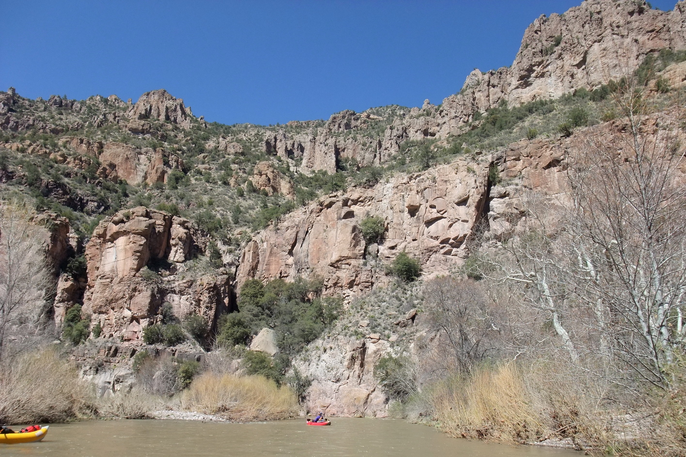
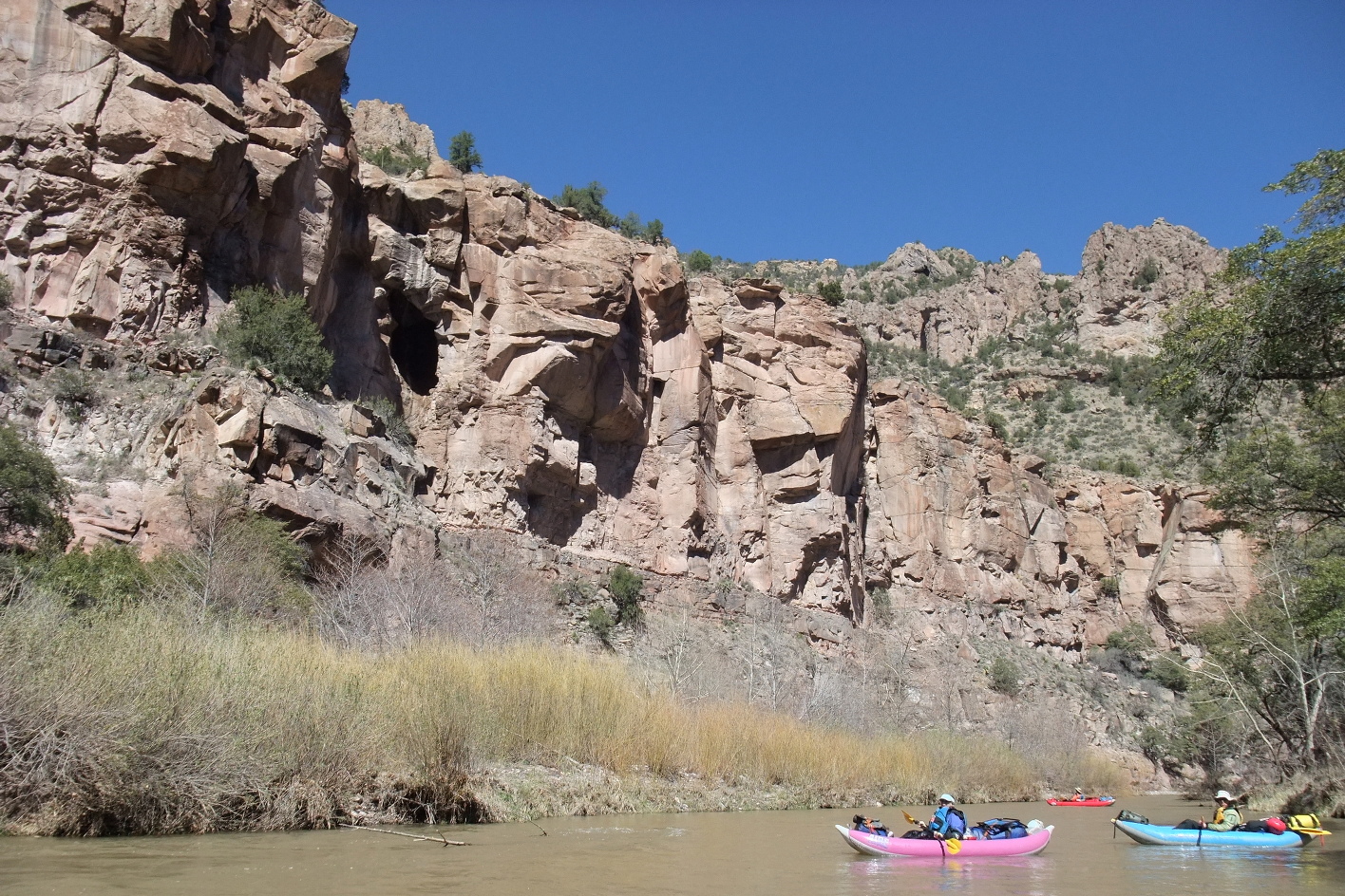
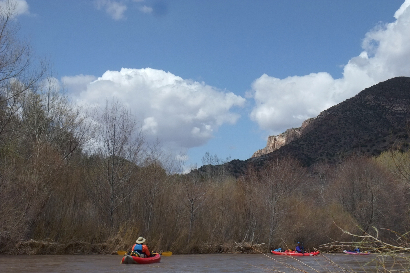
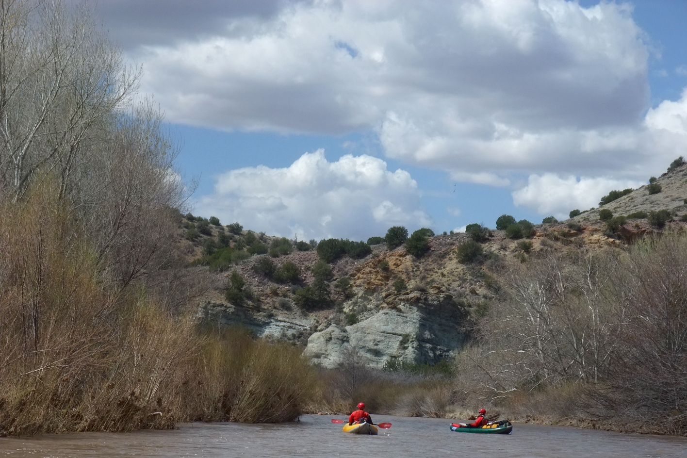
The Gila is a classic river trip with world-class scenery, moderate rapids,
relatively clear water, and plentiful superb (although underused) campsites.
When snowpack exceeds 100% in southwestern New Mexico,
you might want to alter your March or April schedule accordingly.
Although the put-in elevation is high, and temperatures dip at night,
the southern latitude frequently affords warm sunny afternoons.
A visit to the Gila cliff dwellings,
designated a national monument by Theodore Roosevelt in 1907,
makes an excellent prelude to your trip.
Shuttle service is available from resorts at Gila Hot Springs,
about a mile upstream of put-in, for example
The Wilderness Lodge.
The park visitor's center is further upstream near the confluence
of the middle and north forks of the Gila.
If the bridge across the middle fork is open to traffic,
the climb to the cliff dwellings is about a mile round trip.
Otherwise (as in 2010) add several miles to the hike.
There is a lukewarm hot spring about two miles down the river from put-in,
and a famous complex of hot springs reachable by hiking 4 miles up Turkey Creek.
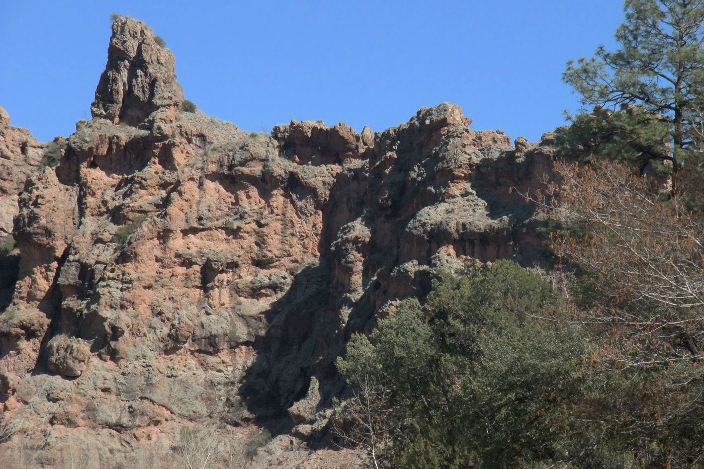
The scenery starts out good and gets better as you approach Turkey Creek,
where the canyon somewhat resembles the Green River in Utah.
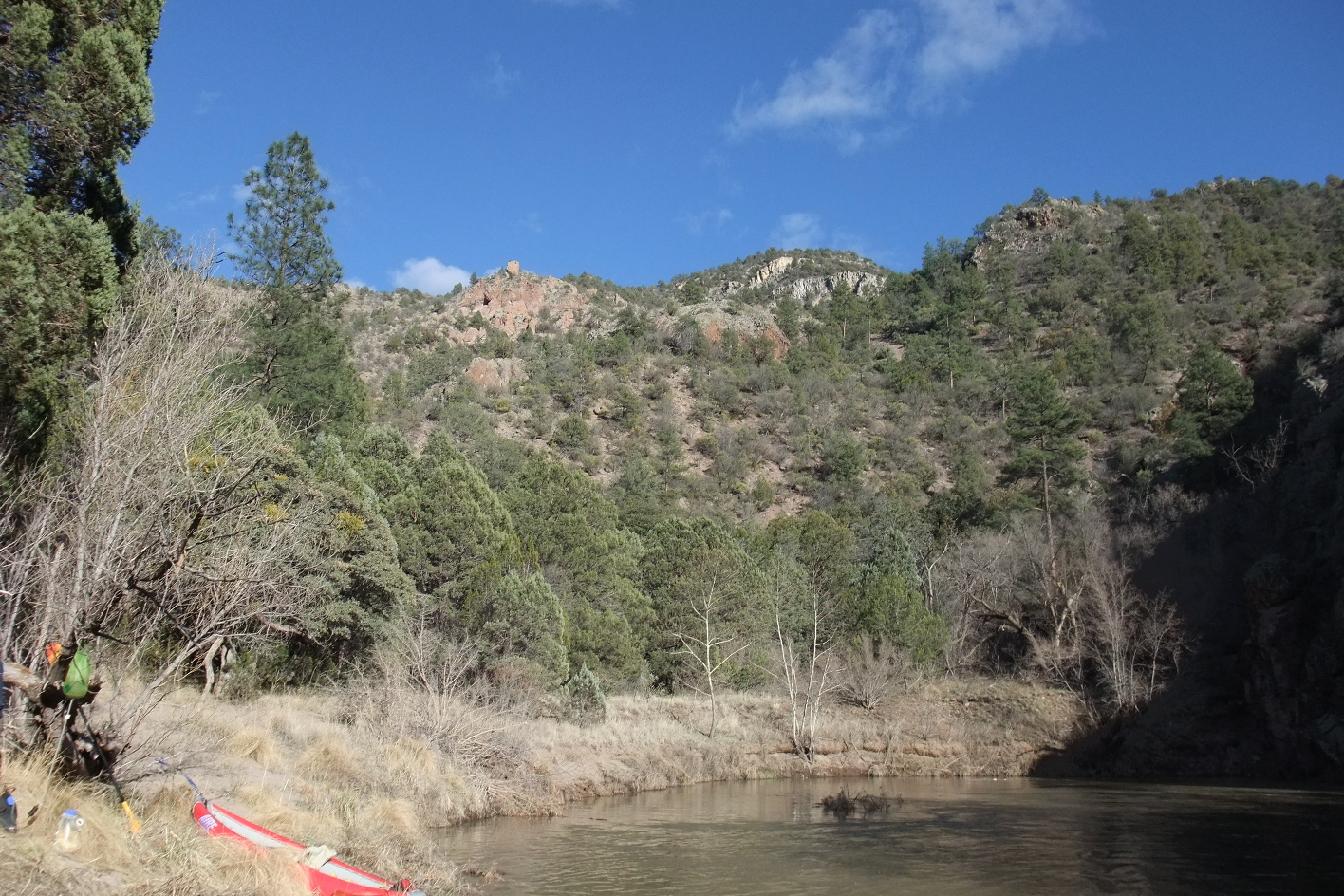
Many campsites offer sandy beaches backed by large wooded benches.
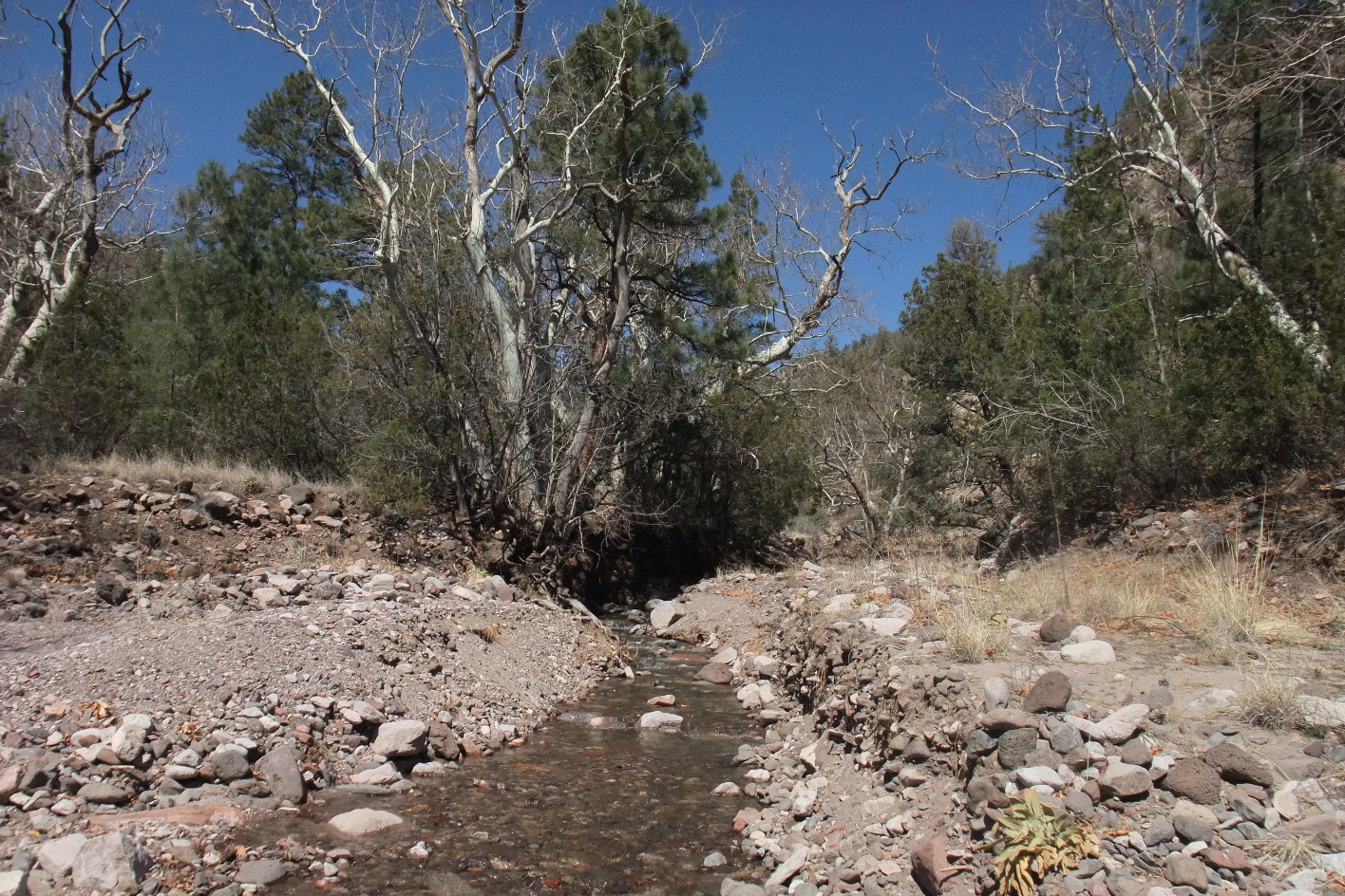
Clear water is available from many side streams,
though not as many as blue lines marked on the topo map,
and especially at low and moderate flows, river water can be settled and purified.
- mile 0
- Put in on the East Fork Gila at Grapevine campground,
or if flow is low, at the highway bridge below the confluence.
-
- 2.0
- Lukewarm hot springs on the left, hard to spot from the river.
Large camping area on river right across from the hot springs.
-
- 3.4
- Alum camp and canyon on the left.
-
-
-
- 7.0
- Approximate beginning of Murtocks Hole, which is really more
a deep spot in the canyon rather than a hole in the mesa.
-
- 10.3
- Beautiful large camp where the river splits around an island.
Large ponderosa pines provide protection from the wind.
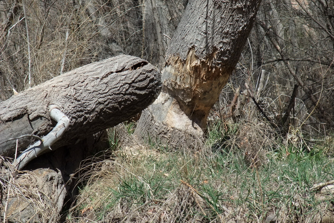
Decaying barbed-wire fences indicate historic cattle grazing,
but the cowpies have disappeared.
-
-
-
-
-
- 11.4
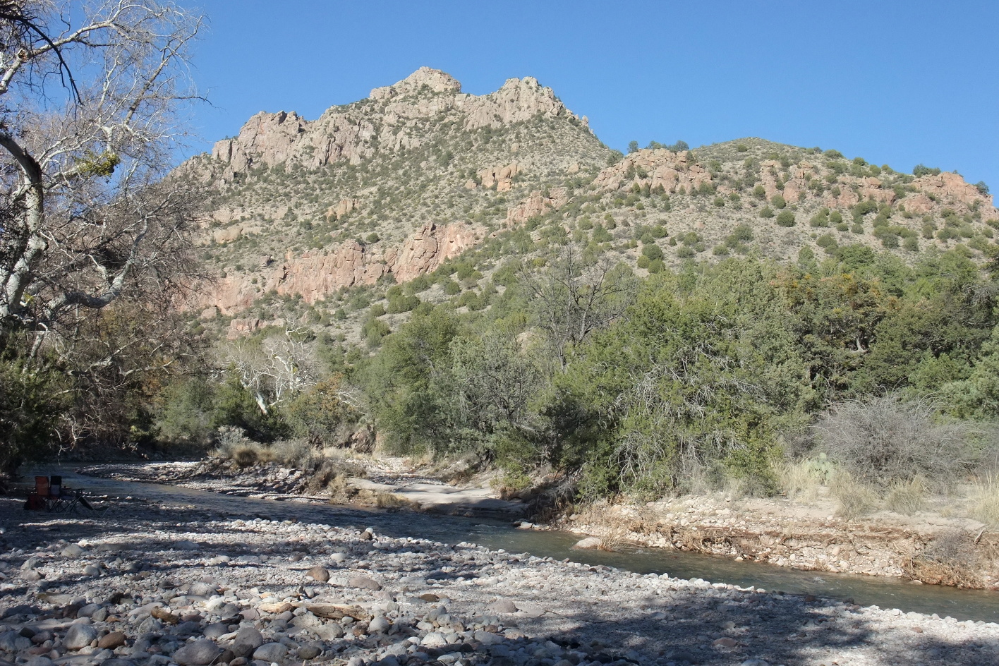
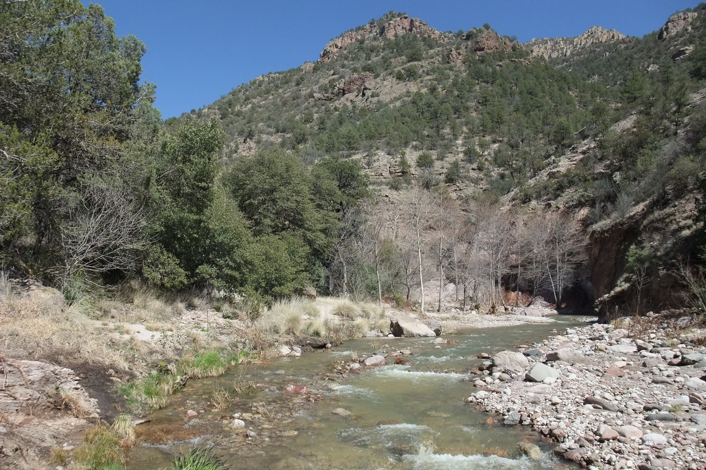
- Sycamore canyon and creek, a major tributary.
Camping is possible but not ultra hospitable near this water source.
-
-
-
-
-
- 14.6
- Corral marked on topo maps near the junction of Granny trail and
the river trail, here marked Sapillo trail.
-
-
-
- 16.0
- Sapillo Creek enters on the left. A trail leads up the creek.
Shortly upstream the trail's left fork reaches highway 15 in about six miles,
while the right fork leads to some ranches and remote dirt roads.
-
-
-
-
-
- 21.5
- Packsaddle canyon, where a pack trail is marked on maps.
-
- 22.0
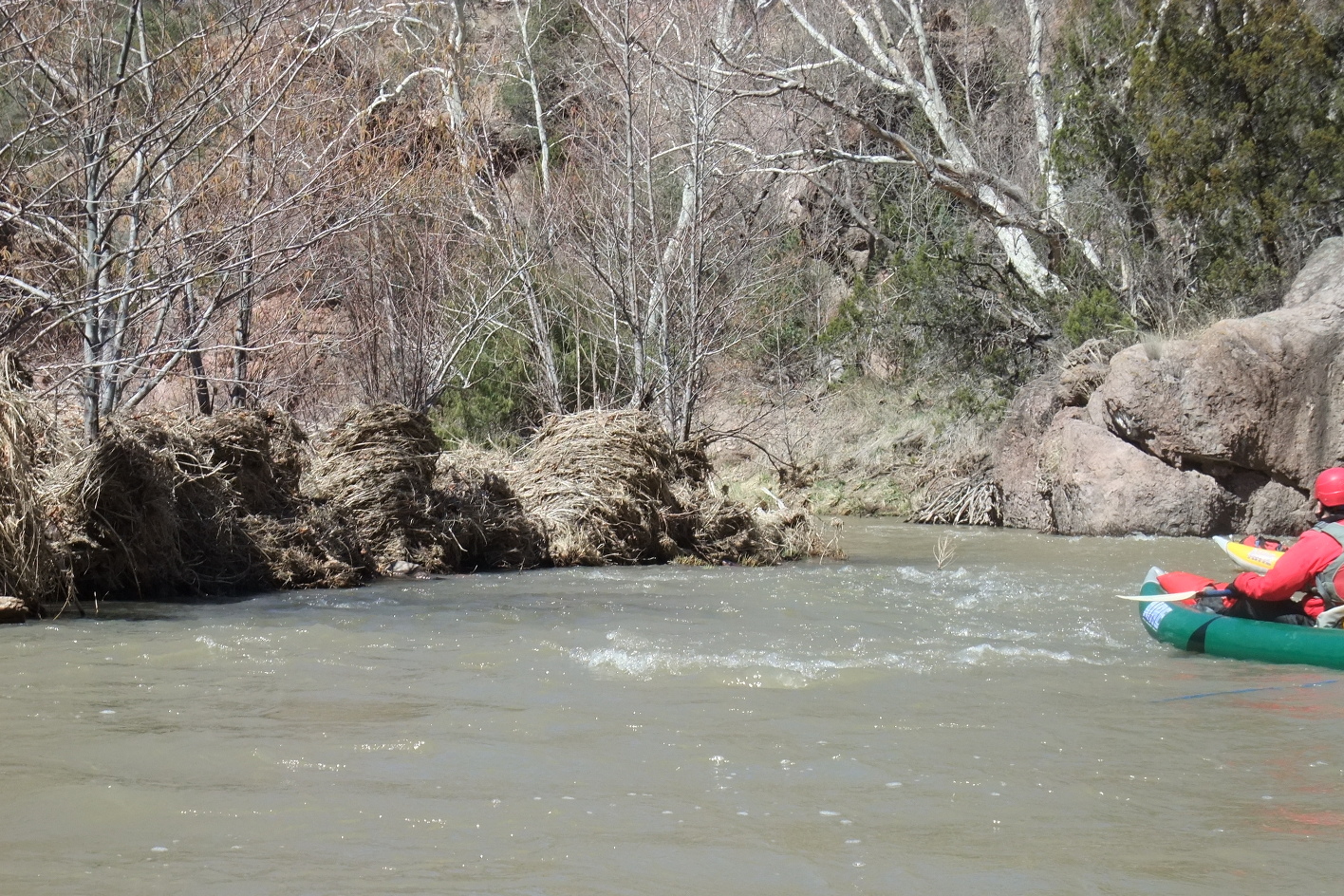
- Good camp on the left across from Water Canyon, above a rapid.
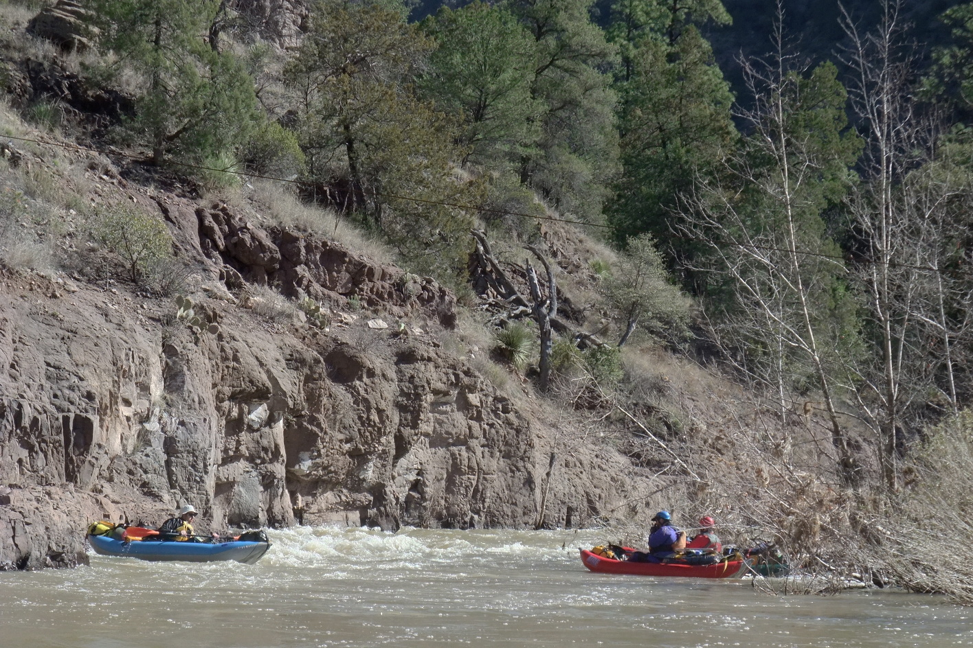
A cable spans the river in the lower portion of the rapid (2010).
Lots of camping debris has been left behind near a large fire ring.
-
-
-
-
-
-
-
-
-
-
-
- 28.7
- Utah Bill Canyon on the right, a good side hike.
-
-
-
- 32.2
- Hidden Pasture canyon on the right, probably leading to Hidden Pasture
on top of the mesa.
-
- 34.6
- Turkey Creek enters on the right. Excellent campsites abound.
When the river is lower, this area looks to be a 4WD camping mecca.
-
-
-
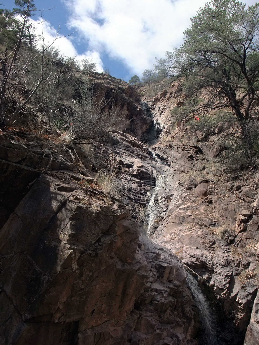
The hike to famous Turkey Creek hot springs is 3 to 4 miles each way.
To reach the hot springs, follow an old road northward, crossing
Turkey Creek several times. At the Gila Wilderness boundary, the road
becomes a lightly maintained trail, always staying west of the creek.
At a cairn where the trail starts climbing up switchbacks, turn right
and cross Skeleton Creek (2 miles). A rudimentary trail follows mostly
west of the creek, crossing from time to time, until you reach the Crux.
On the way up, we crawled on our bellies up a ledge on creek left.
On the way down, we gingerly lowered our packs and ourselves
using a small dead tree that someone left angled on creek right.
After the Crux, a rudimentary trail follows the east bank.
Several hot springs are located below a small overused camp.
A large camp is situated shortly upstream on the west bank.
Above this camp the creek flows over a beautiful bedrock base.
-
- 36.6
- At a horseshoe bend, the dirt road to Turkey Creek becomes visible,
and you might find people camping. This is where the dirt road
changes from 2WD to 4WD, passable only when the Gila river is low.
- 40.8
- Gauging station on the left, reported as the “near Gila” flow.
-
- 42.6
- Mogollon Creek enters on the right in a wide alluvial plain.
In 2010 there were many small creeklets before the major flow joined.
A shallow eddy immediately below provided a take-out near vehicle parking.
Due to diversions and fences,
boating is not recommended from this point to the Middle Box put-in.
The campground at the mouth of Mogollon Creek has an outhouse
and designated campsites uphill along the creek.
Further down the river valley, the town of Gila
has a friendly general store with excellent delicatessen.
Due to road closure (2010) you must return northward and drive thru Cliff
to reach Silver City or put-in for the Gila Middle Box.
|
|
Creeks Navigation
Home
Recommended Runs
Map of Rivers
Alphabetic Index
Alphabetic Table
Text Search
Sponsored Links
|