| |
| Stretch: |
Sourgrass Campground to McKay's Point |
| Difficulty: |
Class IV+ (three class Vs), harder above 1500 cfs |
| Distance: |
7.5 miles, 1 day |
| Flows: |
kayaks and small rafts 500 - 2000, IK minimum 300 |
| Gauge: |
flow measured near Avery
(NSA) |
| Gradient: |
77 fpm average, 100 fpm after Big Trees bridge |
| Put-in: |
from parking are below Sourgrass Bridge, 3960' |
| Take-out: |
just above Utica Ditch Diversion Dam, 3380' |
| Shuttle: |
18.5 miles (1 hour) one-way |
| Maps: |
USFS Stanislaus NF, AAA Lake Tahoe Region,
Topo
|
| Season: |
early summer and fall, from runoff and dam release |
| Agency: |
USFS, state park,
guided Whitewater Rafting |
| Notes: |
© 1998, 2011 Bill Tuthill,
CreeksYahoo |
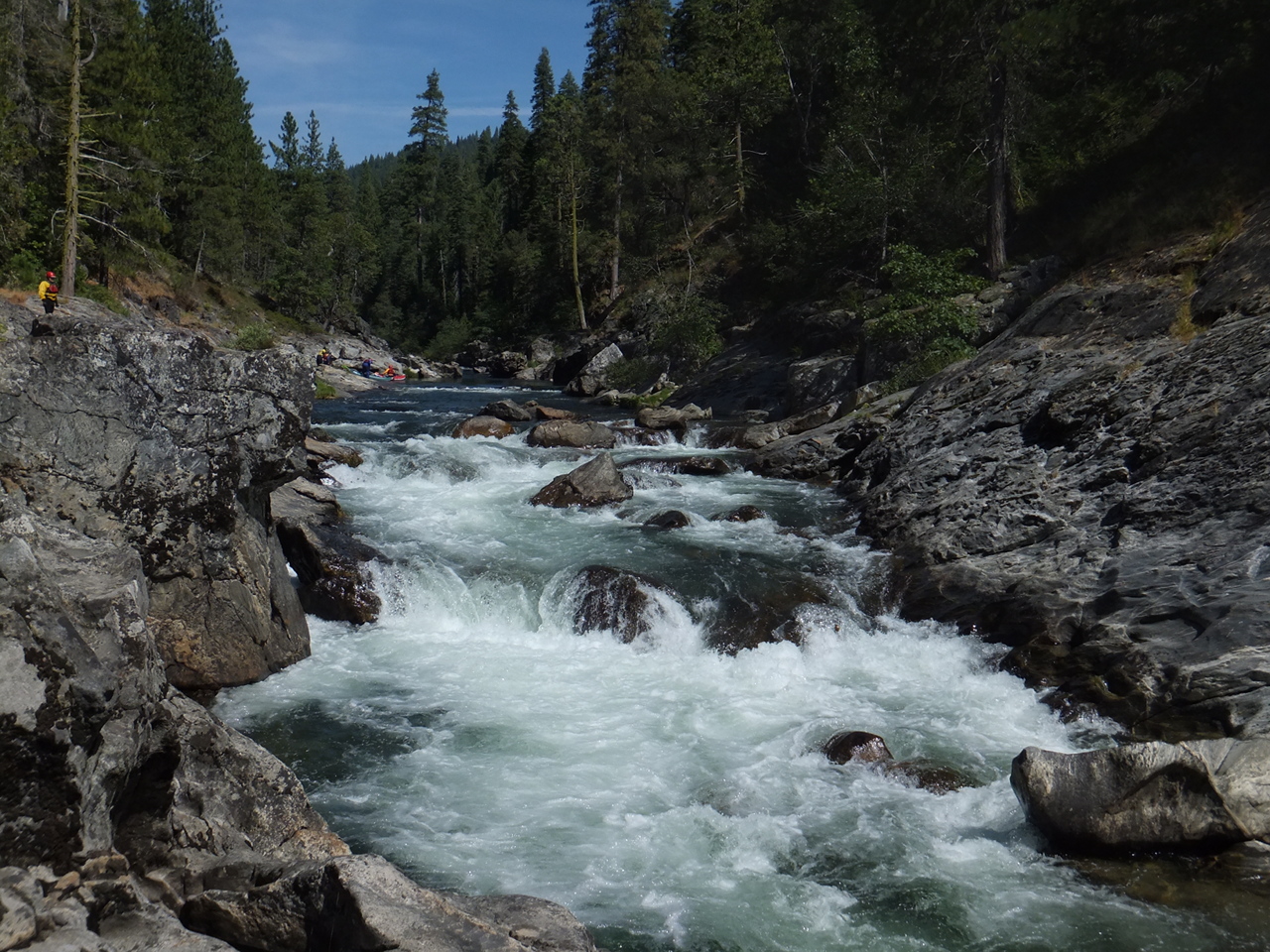
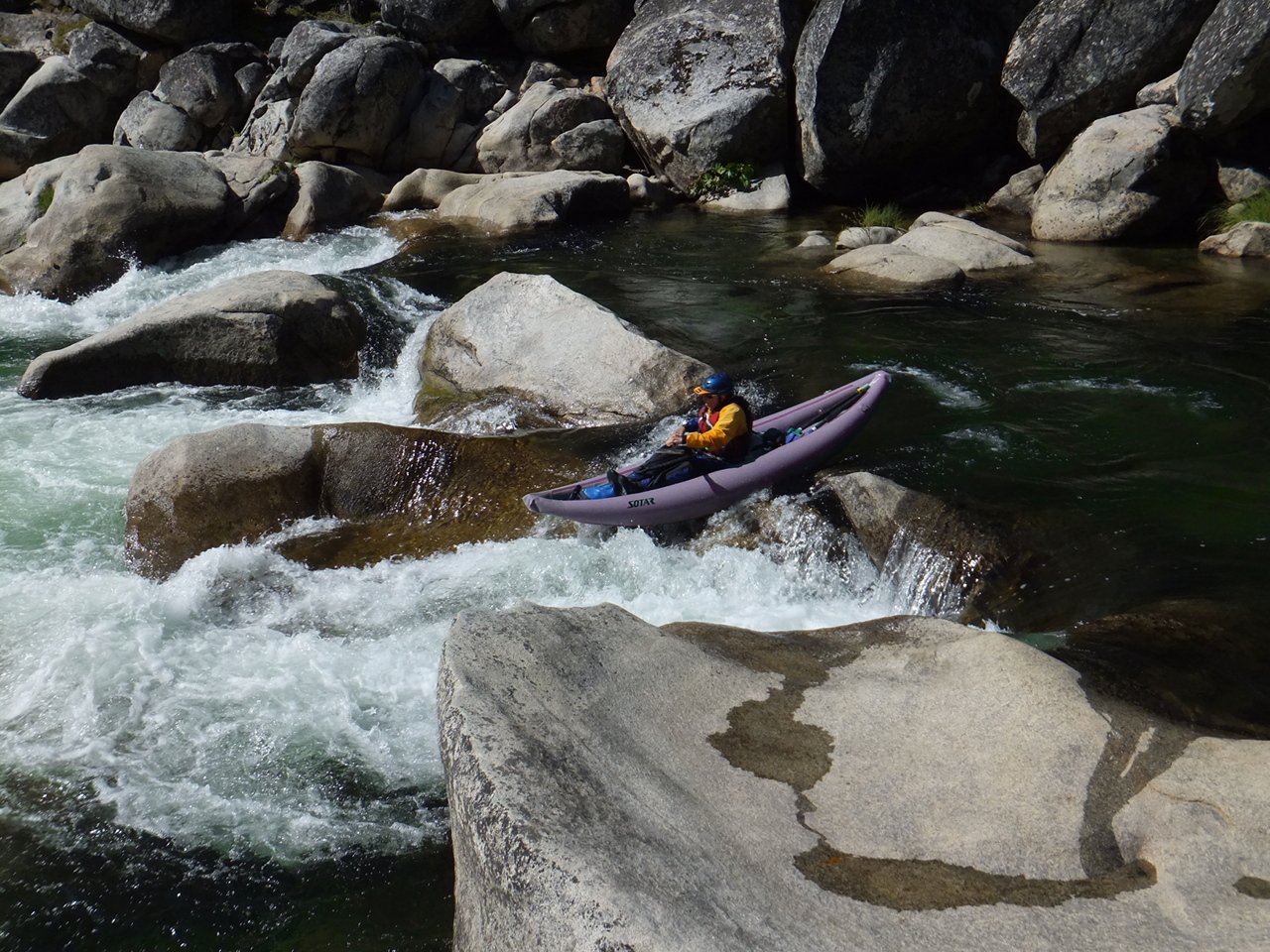
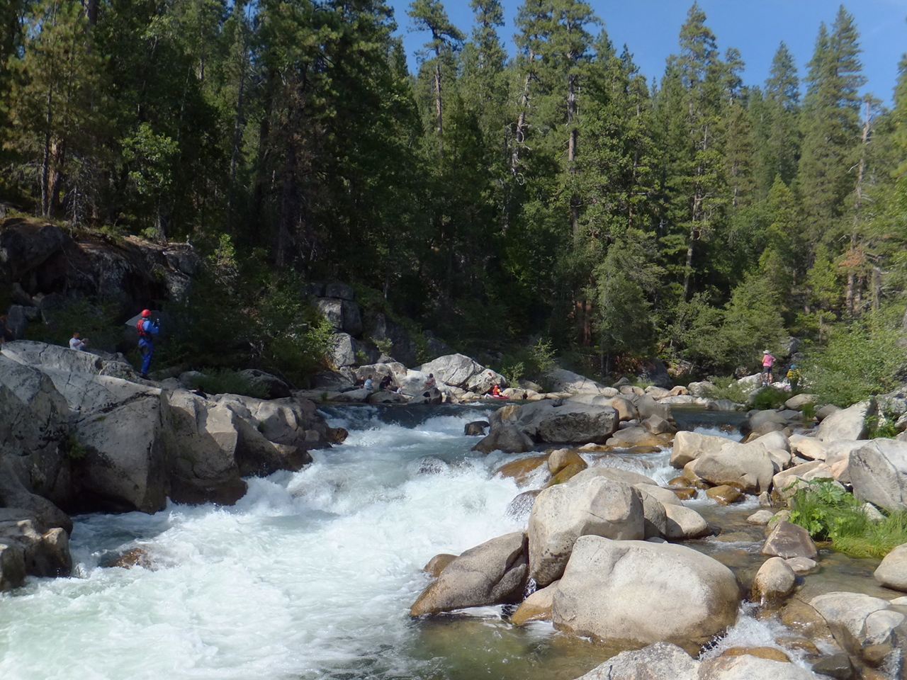
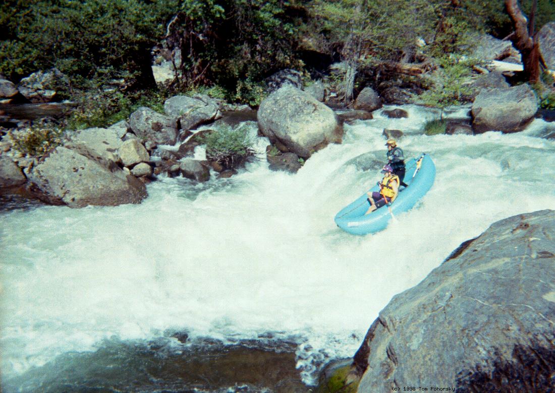
This run is a total classic, though it used to be more classic,
before the New Year's 1997 flood washed out Sourgrass bridge
and class V- rapid, and several fun rapids below.
In their place is a long class V+ that still seems too dangerous to run.
The remainder of rapids remain relatively unchanged.
Conveniently, transportation service is available from Irie Shuttles.
Contact
Rocky Bridges
to make arrangments, rocky@goldrush.com or 209-795-4809.
Upstream is the 11.3 mile Hell's Kitchen run described in
the Holbek/Stanley book, class V+ with 2 to 5 portages,
starting near the confluence of Highland Creek.
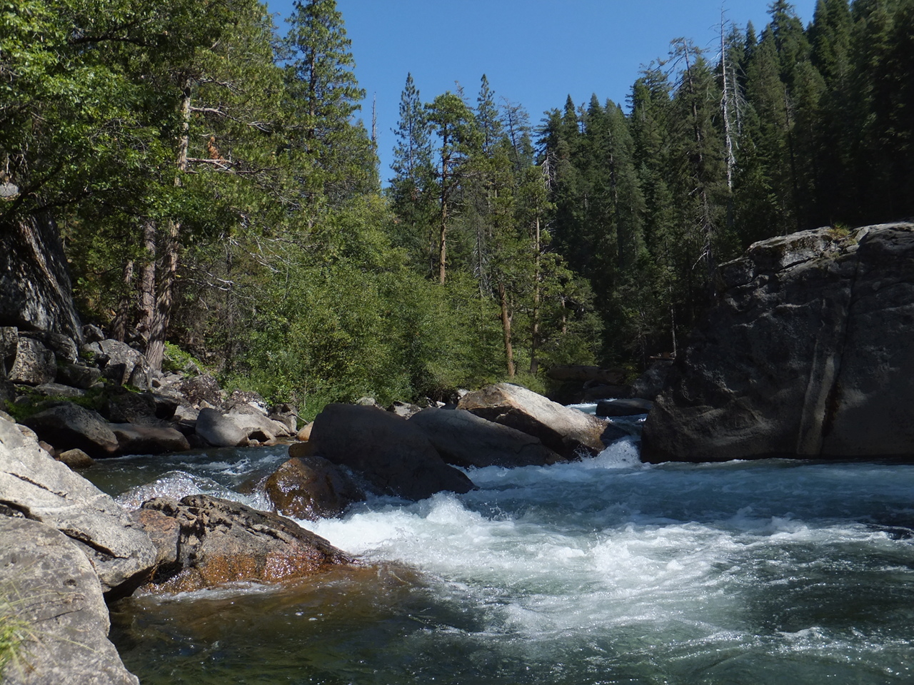
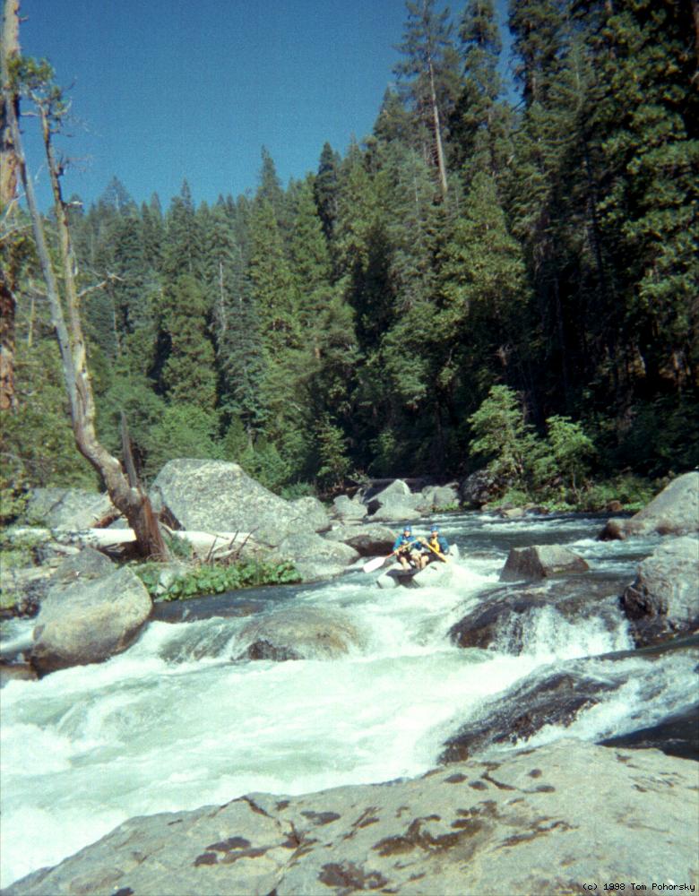
This section contains many waterfalls in a granite gorge.
Water on this stretch is limited by Utica and Union Reservoirs,
with Spicer Meadow Reservoir providing most of the flow.
Downstream the riverbed is dewatered by Utica Ditch Diversion Dam,
and gradient increases to over 200 fpm in spots.
This section has been run by expert kayakers,
and many rubber ducky trips have been abandoned.
One such trip is recounted in the Holbek/Stanley book;
see the story Duckies to Hell by John Cassidy.
Eventually the north fork is joined by the middle fork,
becoming the main Stanislaus that flows past Camp-9 Powerhouse.
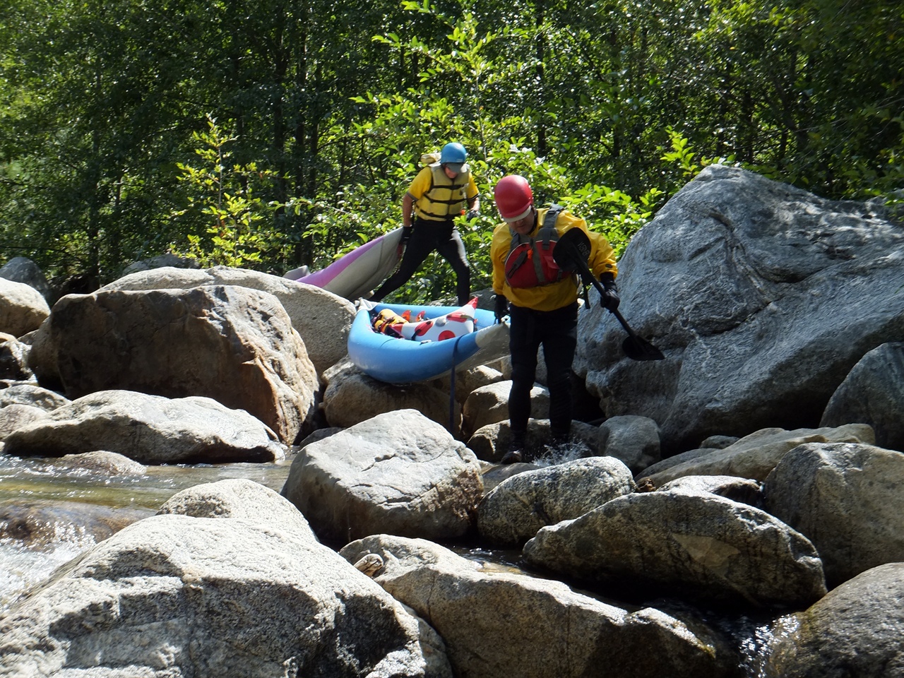
- mile 0
- Put in from the convenient parking area on river right downstream of
Sourgrass Bridge, avoiding Sourgrass Falls, currently class V or V+
with nasty undercuts at the bottom. Kayakers can take several trails
reaching the river below Sourgrass Falls, with possible seal launch.
Rafters can find a wide trail at the downstream end of the parking area.
-
- .1
- Beginner's Luck, class IV then possible portage
The first two bedrock drops are fun, but the third drop is rock-choked,
so kayakers often portage around the boulder-bed on river left.
At higher flows the third drop is runnable but holes below get big.
-
-
- .25
- After several more drops in a scenic canyon, the gradient eases.
-
- 1.6
- Board's Crossing, a private bridge connected to a dirt road leading
north to Board's Crossing Road, your shuttle route to Sourgrass.
Mild rapids continue for nearly another mile.
- 2.3
- Wide Bedrock, class III, the first significant rapid in a while,
runnable on the far left at low water, or elsewhere at higher flows.
- 2.6
- The Slot, class IV, scout right
At low water the best route is on the right, but at higher flows,
other routes open on the left side.
-
- Although the gradient remains relatively steep,
rapids are mostly class III or easily boat scouted.
- 4
- The Thing, class IV
A sharp right-then-left turn is required to avoid The Thing,
a large rock blocking your downstream view,
and spouting ominously at high flows.
-
- 4.2
- Boulder Maze, class IV
Many tight moves among large boulders, making it difficult to see
and communicate with your fellow boaters.
- 4.4
- Island, class III+
A long island separates the river. The left channel is usually chosen.
- 4.6
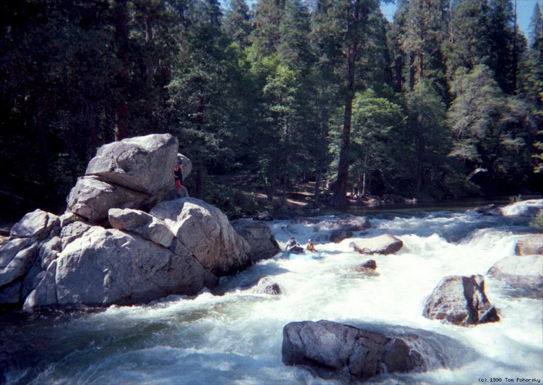
- Upper Sequoia, class IV, scout left
A technical boulder garden followed by a steep falls.
-
-
- 4.8
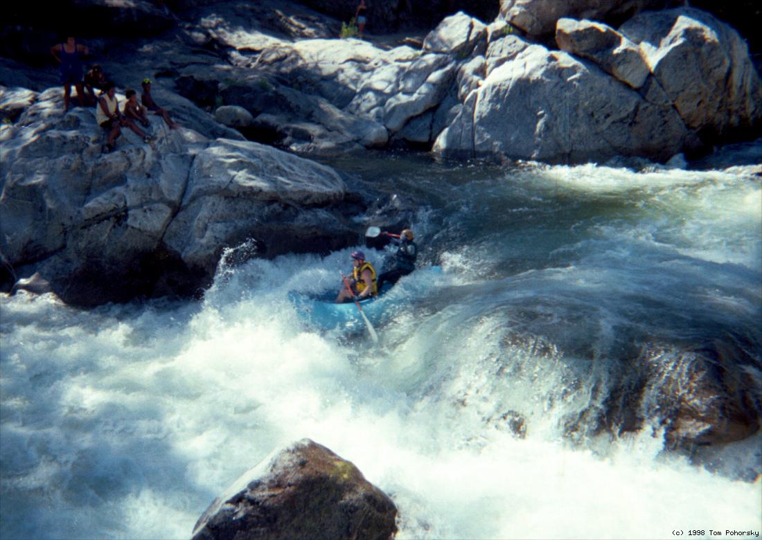
- Lower Sequoia, class IV, scout right
A turbulent chute with several big holes, ending under the bridge.
-
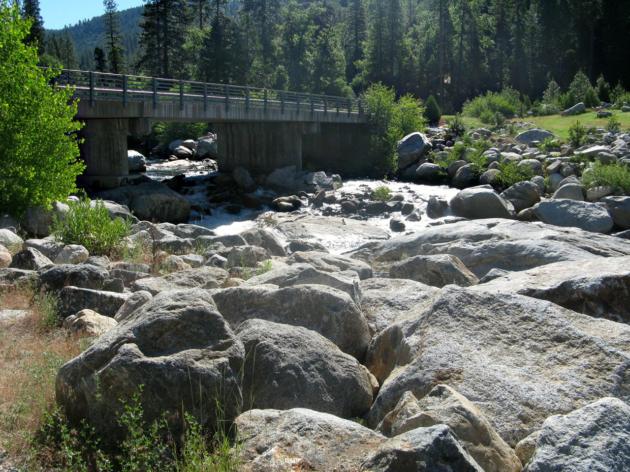
- 5
- Bridge over the river inside Calaveras Big Trees State Park.
Alternate take-out to avoid class V rapids downstream, or if the
dirt road to McKay's Point is closed.
- 5.5
- Devil's Horn, class V-, scout left
The river drops over a rocky falls, and heavy whitewater continues
past many large rocks. The best route is against the right wall,
over a steep drop into a large hole.
-
- 5.6
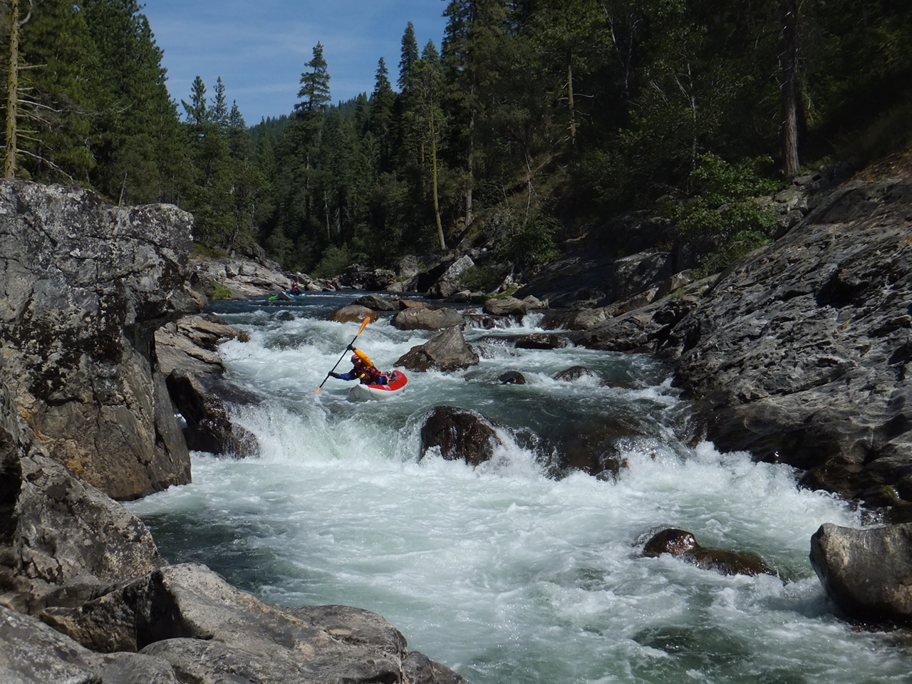
- Goalposts, class IV+
A variety of routes, most involving a move between goalposts.
At moderate flows, rocks divide the channel into left, center,
and right channels. Right is the most turbulent down below.
Many boaters elect to run the center goalpost.
- 6
- The Waterfall, class V, scout left, possibly portage left
The river drops turbulently into several diagonal holes, then
races into an almost vertical chute. This in itself wouldn't be
so bad, but is followed by a long class IV boulder garden.
-
- 6.5
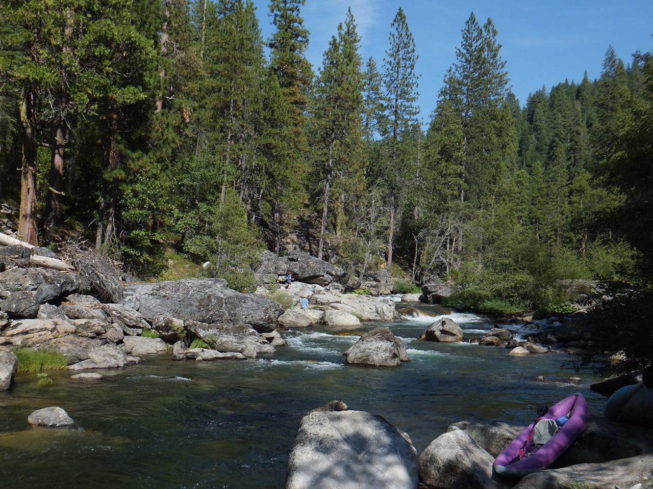
- Breathless, class IV+
A very long boulder garden requires so much constant maneuvering
that you will be out of breath at the bottom, at this altitude.
This is a forested area, so watch for down trees in this section.
- 7.5
- Take out on the right above the diversion dam at McKay's Point,
or run the dam, probably on the right side.
Shuttle Directions
To reach take-out, drive east from Angel's Camp about 18 miles to Avery.
Leave highway 4, bearing right on Moran Road.
Proceed 1.1 mile to Love Creek Road, turn right, and cross a creek.
Continue 4 miles to a Y intersection near some houses.
Take the right fork of the Y, which switchbacks immediately
and climbs .4 mile to a 4-way intersection on a ridge.
Go straight on road 5N35, which drops steeply .6 mile to the river.
You might need to open a gate on this road,
and in muddy conditions, 4WD or chains are recommended.
To reach an alternate take-out downstream,
drive highway 4 east until Avery, turn right on Moran Rd, drive to stop sign.
From stop sign, go 1.1 miles, turn right on Love Creek Rd. Drive another
1.6 miles to Doud's Rd and turn right again. After 0.3 miles, at the top of
the hill, turn left where a sign says 5 miles to NF Stan. After 4.5 miles
the road crosses the NF. On the way to the NF you may come to an unlocked
gate, in which case please close it again after you pass through. At the
first dirt road you come to, 1.4 miles after crossing the North Fork, turn
left and drive 1.6 miles down to the second turn-out (0.2 miles before the
road ends). A short trail leads down to the take-out beach, which is river
left very near the top of McKay's reservoir. This road is suitable for
low-clearance sedans, though even so you may scrape a little going over bumps
near the end.
To reach put-in from there, return to Moran Road, but turn right (uphill).
This detours around Arnold and leads you in a several miles to highway 4,
where you turn right and drive (past Calaveras Big Trees State Park)
4.4 miles to Board's Crossing Road. Turn right.
After about 2.5 miles, where a dirt road to Board's Crossing bears right,
this paved road becomes 5N02 to Sourgrass Campground.
Bear left and continue 3 more miles to Sourgrass Campground.
To find nearby food and lodging, type Arnold CA into the box and click Search.
|
|
Creeks Navigation
Home
Recommended Runs
Map of Rivers
Alphabetic Index
Alphabetic Table
Text Search
Sponsored Links
|