|
Rubicon River near Foresthill |
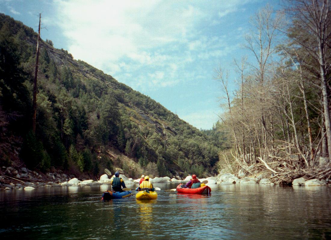
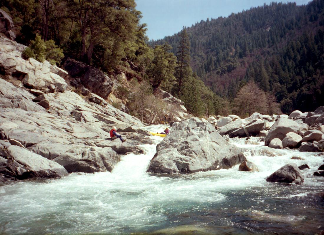
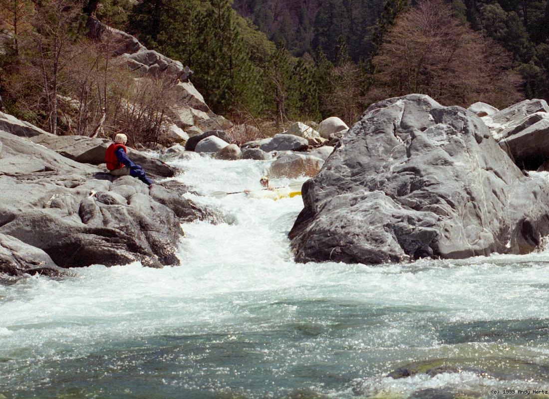
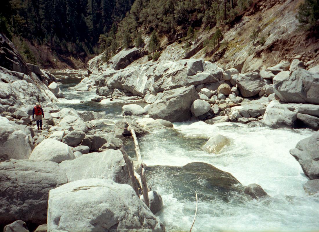
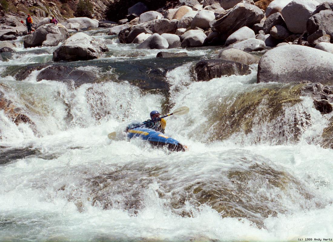
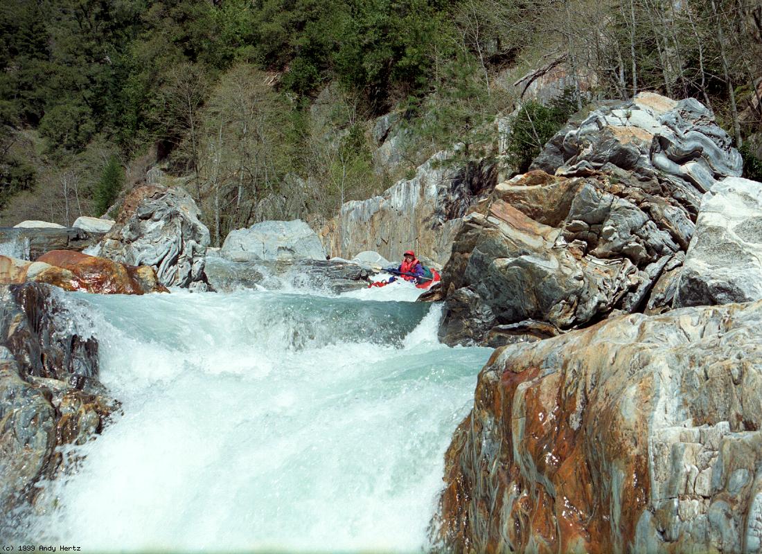
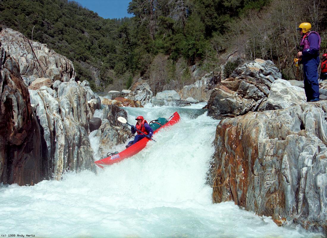
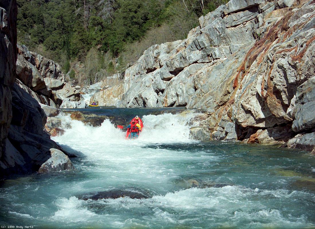
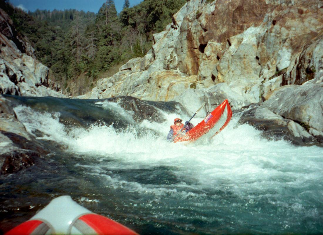
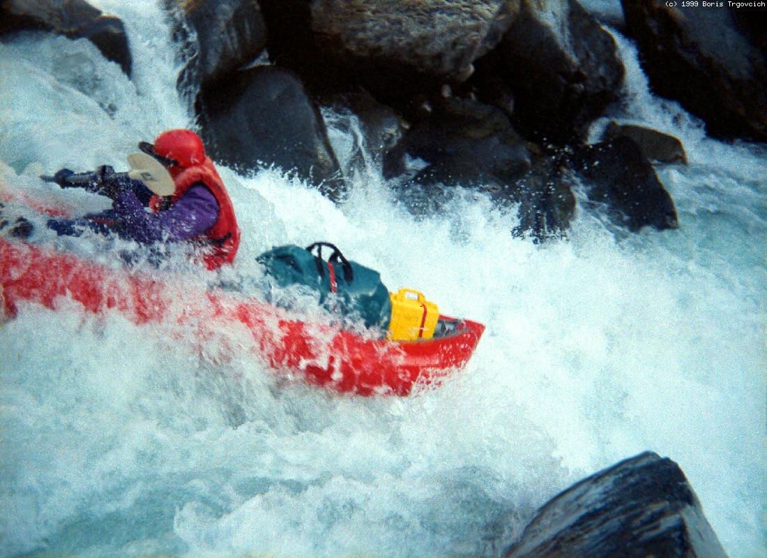
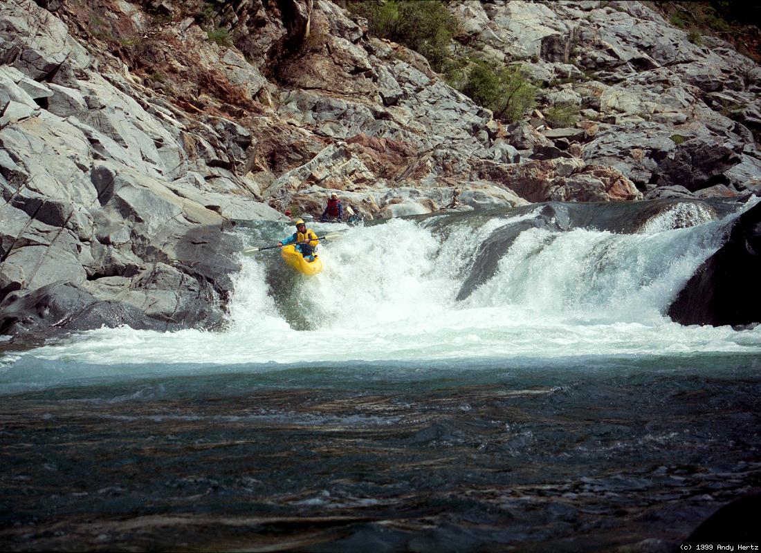
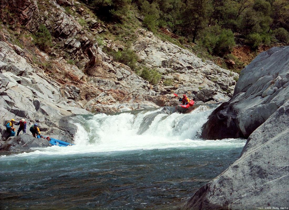
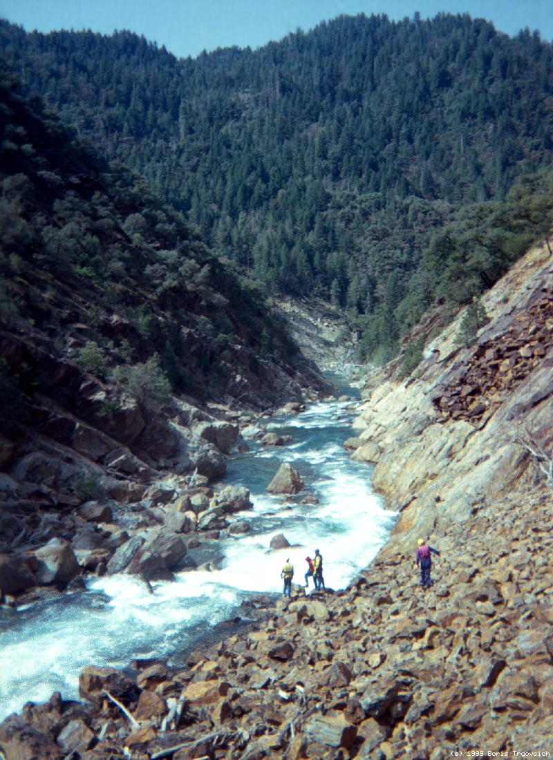
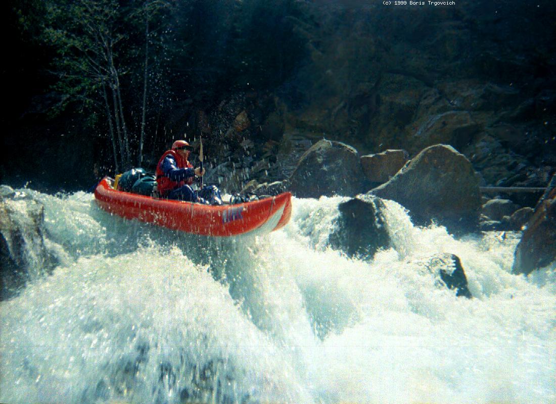
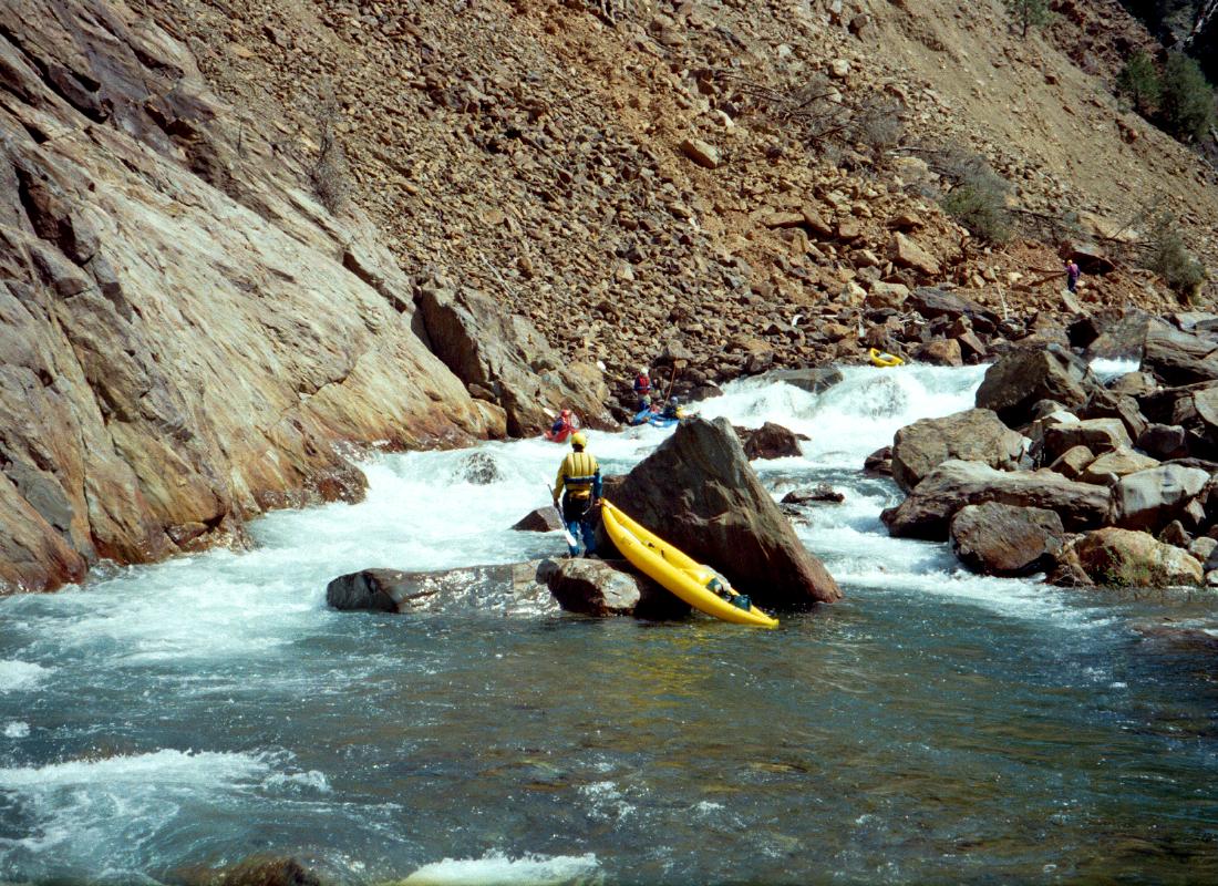
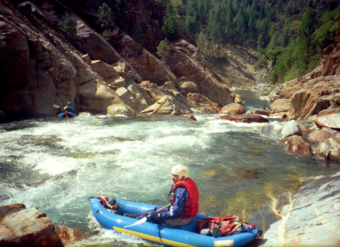
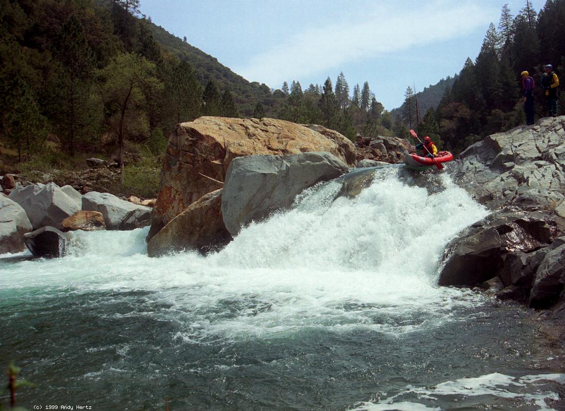
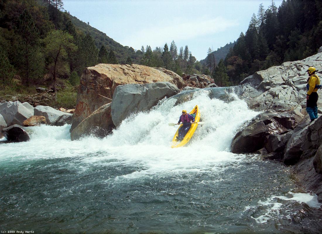
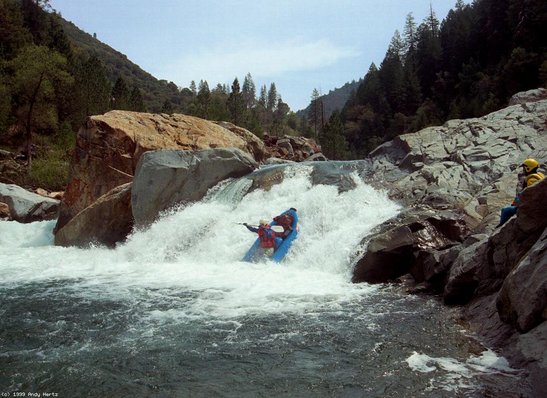
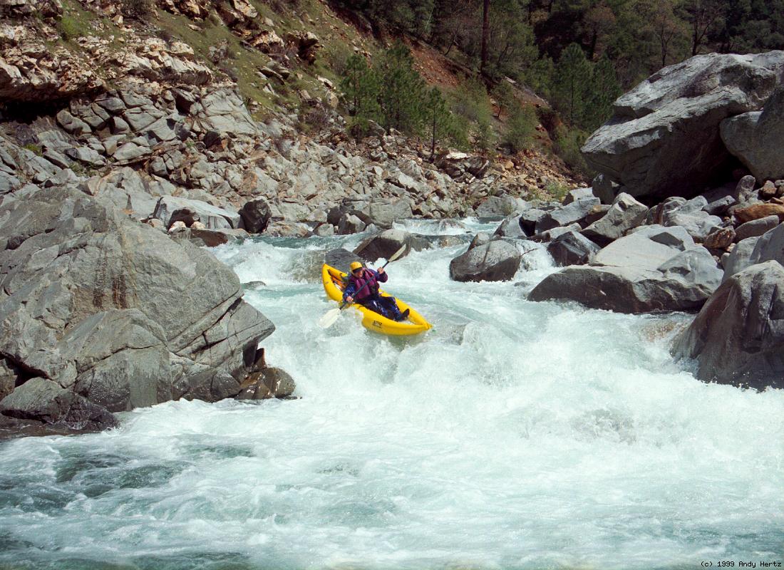
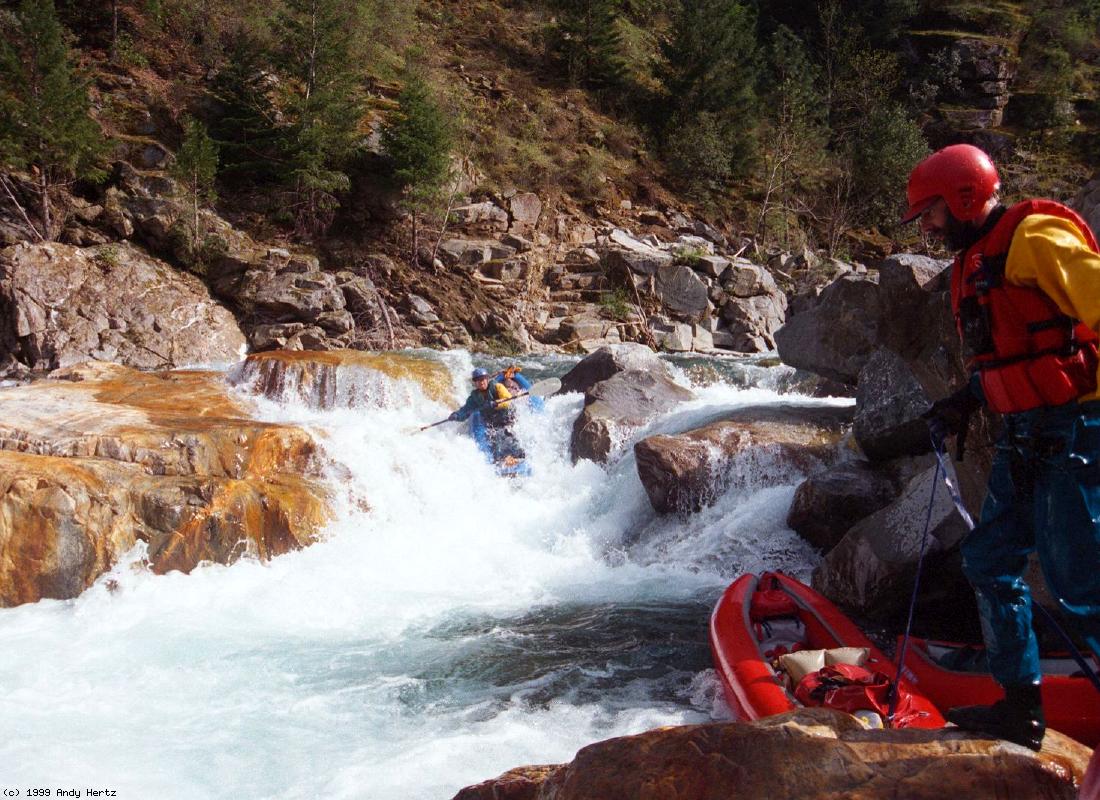
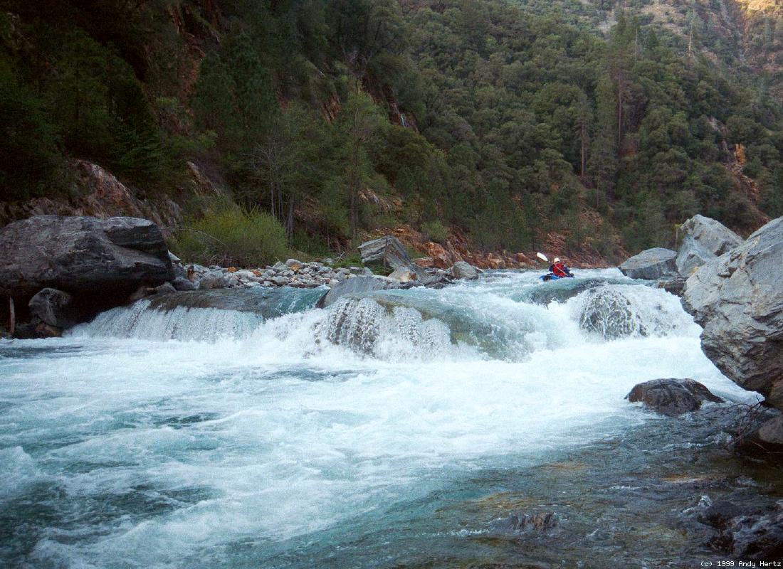
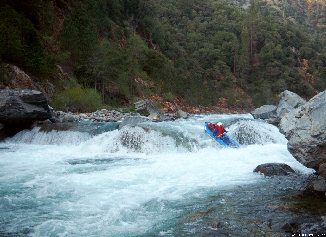
More great rapids in 20 miles than any other river I know. Amazingly, the first descent of the Rubicon was a solo run in 1975 by Chuck Koteen in one inner tube, with another for overnight gear! This is fully 7 years before kayakers got around to running it. [American Whitewater magazine, Jan/Feb 2012, page 51.] At low flows this is a classic run for inflatable kayaks, with more exhilarating whitewater per kilometer than perhaps any other stream in California. Above 500 cfs the hydraulics start getting large, making this run more appropriate for hardshell kayaks, who rate it class V- under 1000 cfs, then class V until 2000 cfs. Another problem is that early in the season, sidestreams add considerably to the flow, causing a class IV run to transition into a class V survival fest. It is best to wait until late in the season, when the flow at put-in is quite similar to the flow at take-out. Even in snowy years the optimum flow window could be only a few days long, perhaps not even coinciding with a weekend. This run is well described in the Holbek/Stanley book, A Guide to the Best Whitewater in the State of California, although this segment is longer than stated. The book provides two black-and-white photos of the Rubicon, one showing a 15' waterfall, the other a stairstep rapid (called One in A Million) ending in a big drop. They say 2 portages are necessary, 5 portages recommended. With less than a dozen portages around hazardous passages (usually relatively easy lines or boat drags at river level) it is possible not to run any dangerous class V+ rapids, provided you wait for flows under the hardshell minimum of 500 cfs. However, the sheer number of tough rapids and required scouts makes this an arduous run even at low water. The Rubicon can be run on mid-season snowmelt, but the remote access roads to Ellicott Bridge might be impassible. We once spent hours digging out a 4WD truck with chains using just our kayak paddles. The Rubicon can also be run in big-water years when Hell Hole Reservoir spills. This gives you a predictable flow that is more even from beginning to end, but many years Hell Hole Reservoir does not spill, and even when it does, it might be only for a few days. Reservoir capacity is 208,400 acre feet and monitored on this webpage. Another method, slightly different factually: Look for the volume in Hell Hole reservoir, peak capacity 207,600 acre feet. When spring comes, it starts filling with a fairly regular increase. You can estimate reservoir inflow, but only on days right before it spills, and assume it will be similar on days soon after it spills. Do this by converting acre-feet per day to cfs. One acre-foot equals 43,560 cubic feet. Divide by seconds in a day (86,400) and you get 2 acre-feet equals 1 cfs. If the reservoir is rising by 2000 acre-feet per day, the inflow is 1000cfs. Hazard! Most rapids are steep boulder bars, not bedrock drops. The riverbed changes from year to year. Undercuts and tunnels could lurk anywhere, especially near the bottom of class III-IV rapids that you might not have chosen to scout. Be cautious, and try not to rush.
More photos of Ripple Rock Falls are in the Carnage Gallery.
Pilot Creek enters on the left around mile 17. Class IV+ or V- rapids continue to takeout, although with more space between after Long Canyon Creek enters on the right around mile 19, and a dirt road climbs via switchbacks up the left bank (alternate take-out).
|
Creeks NavigationHomeRecommended Runs Map of Rivers Alphabetic Index Alphabetic Table Text Search
Sponsored Links
|