| |
| Stretch: |
Middletown to Berryessa Reservoir |
| Difficulty: |
Class IV+ brush with long class II stretches |
| Distance: |
16 miles, 1 or 2 days |
| Flows: |
kayaks 1000 - 6000 cfs, IK minimum 500
|
| Gauge: |
measured along this run near Guenoc
(PCG) |
| Gradient: |
32 fpm average, 110 fpm in canyons |
| Put-in: |
west bank highway 29 bridge, 960' |
| Take-out: |
upstream on Butts Creek along Berryessa Reservoir, 460' |
| Shuttle: |
15 miles (20 minutes) one-way, bicycle OK |
| Maps: |
AAA Sonoma and Mendocino |
| Season: |
winter, shortly after significant rain |
| Agency: |
private, US Coast Guard |
| Notes: |
© 1998, 2002, 2012 Bill Tuthill,
CreeksYahoo |
For a guide to Putah Creek below Berryessa Reservoir, see the
Lower Putah writeup on this website.
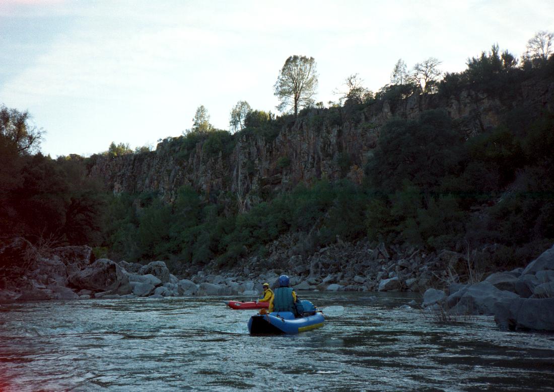
In the late 1990s I enjoyed Putah Creek so much that I rated it a semi-classic.
It had two fine class IV gorges, brushy in places, and some scenic class II stretches.
However like most California rivers the brush has gotten worse in the last decade.
Here is a 2012 trip report from Jeff Pflueger:
No way is Putah close to a semi-classic at 1000 cfs.
Maybe the story changes at higher flows,
or maybe the brush situation has gotten much worse since you last paddled it.
But at 100 cfs the brush is really bad.
There are maybe 3 good rapids, and a huge amount of flatwater.
I do not remember much class II, only endless paddling on lakes
punctuated by really bad brush situations, some that required portaging.
Minus the brush, there would be 2 class IV rapids, 4 class III rapids,
maybe 6 class II rapids, and many miles of flatwater.
Temper your enthusiasm.
Anyone who has studied Spanish knows that puta means “whore”
(though not in the official dictionaries).
California history books,
despite boring us with tales about gold miners despoiling the environment,
are remarkably silent on the Putah Creek issue.
Locals in Winters say the Vaqueros used to take young native women
to keep their fires going, and return them pregnant the following spring.
Ethnographers inform us that Putah is a Spanish spelling
of a Wintun settlement name: Poota-to means people living along this creek
[A.L. Kroeber, Handbook of the Indians of California, 1925,1953,1967].
Later authors say Puta Wuwwe was a Lake Miwok name for grassy creek
[California Place Names, UC Press, 1998, page 304].
To commemorate early colonialism,
and in violation of California State English-only laws,
the class IV rapids on this run have been named en Español.
The class IV+ rating is for brush.
If someone would “maintain” a boating channel by cutting a path
through willows in the streambed, this run could be rated class IV.
The two gorges are steep enough in places to require scouting,
because routes are not discernible from river level.
But brush can also be your friend:
we often held onto willows while boat scouting,
and I remember holding onto one branch for over 10 minutes
while someone self-rescued out of the only channel.
After mile 4, this area is relative wilderness, making rescue difficult.
Get an early start and please avoid causing trouble for local ranchers.
- mile
- 0
- Put in on river left upstream of the highway 29 bridge, 5 miles
northeast of Middletown. Just across the bridge (on river right)
there is a gas station and cafe. The valley is very wide here,
so the creek crossing is not obvious. Note that land on both
sides is private, so bank access is not permitted.
- 2.5
- Creeping suburbia on the left and ranchland on the right, until the
river drops around a sand island over a class II rapid.
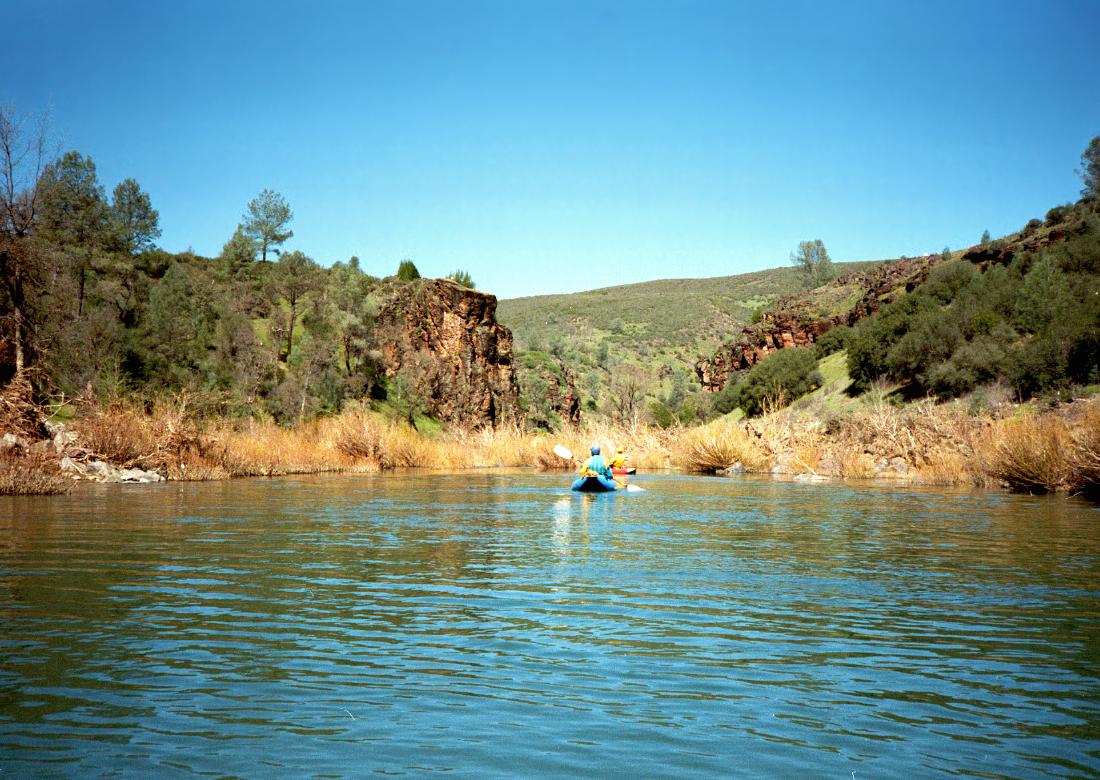
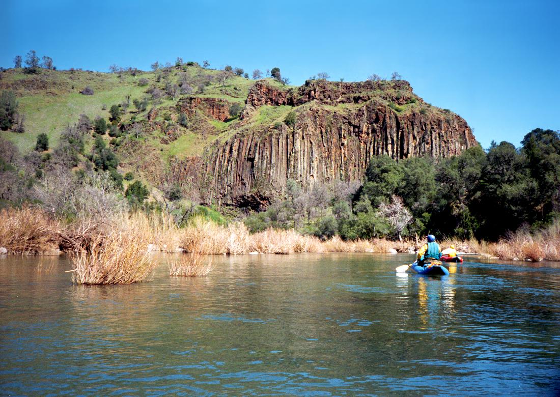
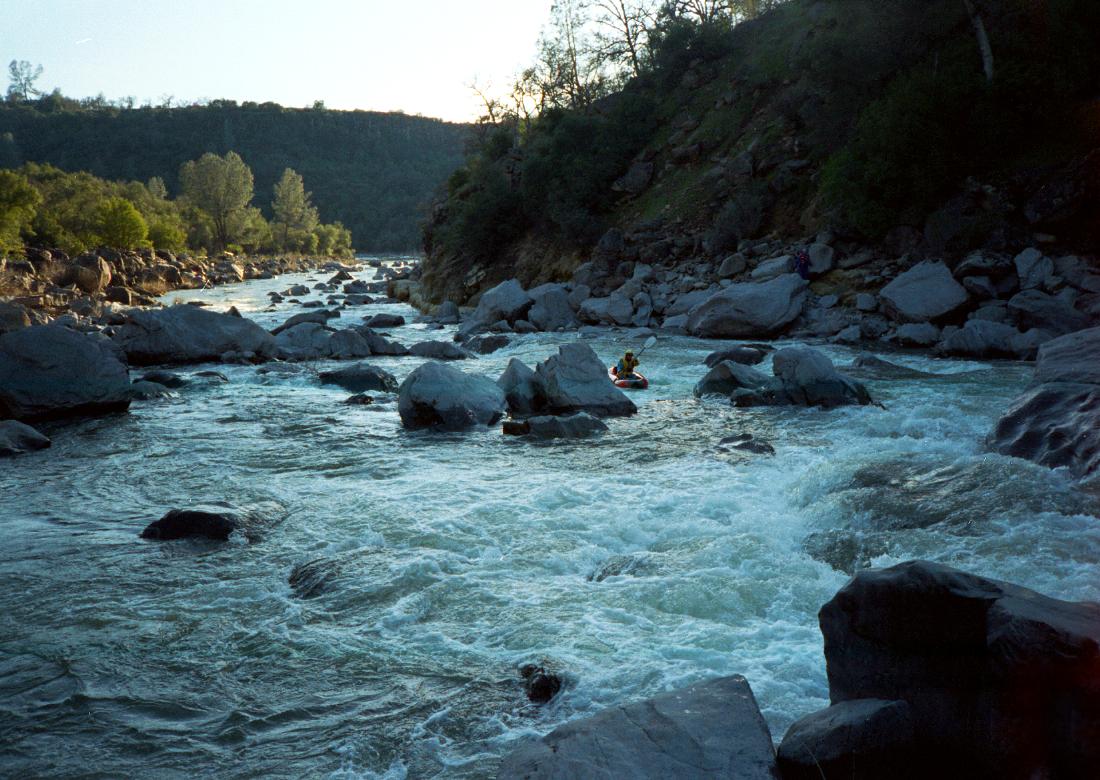
- 3.2
- Gauging station on the right, perhaps the source of PCG flow numbers.
The creek leaves Coyote Valley and basalt cliffs close in. Class III
rapids begin, and you might think the infamous brush isn't so bad.
-
- 4
- A basalt cliff towers overhead on river left, announcing the start of
the first class IV gorge at the upcoming right bend.
-
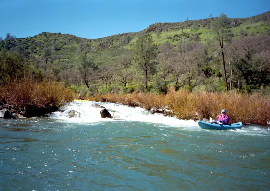
- 4.1
- Numero Uno, class IV, scout right or left
The right side is a bony boulder bar, the left side is a long
curving chute ending in a 1.5 meter falls. Choose your scouting
side according to which you would prefer running.
-
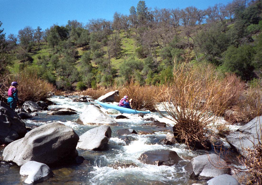
- 4.3
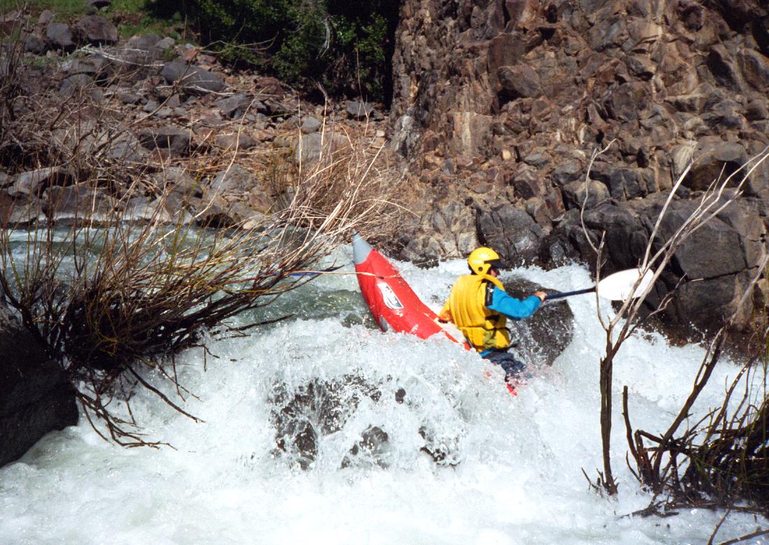
- Numero Dos, class IV+, possibly scout left
The current innocuously enters a narrow channel among willows, as
it has done before, but this time the channel culminates in a major
class IV rapid. Scouting is difficult but possible on the left bank.
The crux of the first section is a huge rock lurking in the middle of
the channel. The best route (1998) turns sharp left near the big rock,
although some of us went right, causing carnage. I didn't get any
photos here because I was hanging onto a willow branch for dear life.
After this crux, things mellow out a bit, giving you a chance to scout
the second crux, a steep drop among boulders. In his 1974 guidebook,
Dick Schwind recommended portaging Numero Dos on the right.
-
- 4.6
- Numero Tres, class IV, possibly scout right
The current lulls you into entering this on the left, but that is the
wrong side. This one is basically a class III+ boulder drop obscured
by a willow fence at the top. Although I'm not positive, I believe
there is a workable entrance on the right side. We all entered on
the left and were forced to wallow though willows into the main drop.
2006 note: Derrick Wydick says yes the proper way to run this
is to start right, bump or portage over a few rocks, then enter the
best channel on the right side. Dick Schwind's guidebook says
Numero Tres can be portaged easily on the flat above the right bank.
- 4.8
- Soda Creek enters on the left, probably causing all that brush.
The gradient settles down, and brushy but easier rapids continue
for a distance.
- 6
- Coast Guard pumphouse on the right bank, an emergency take-out.
The creek flattens out to only 20 fpm for the next 6 miles.
-
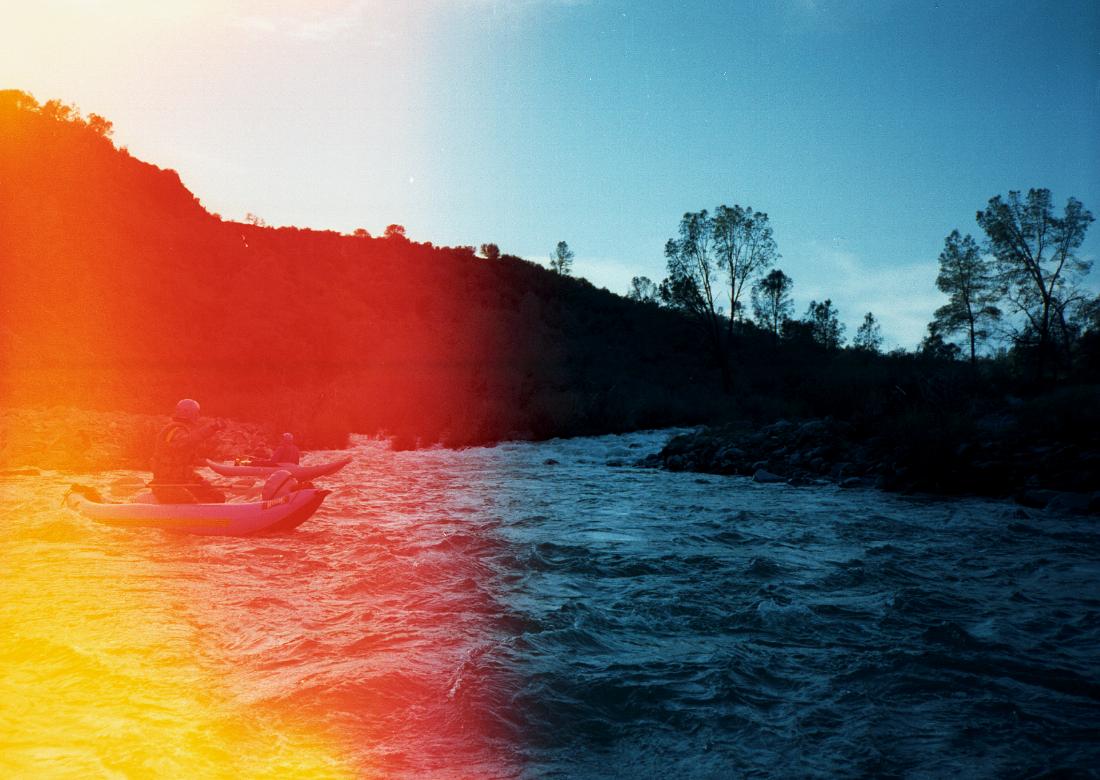
- 12
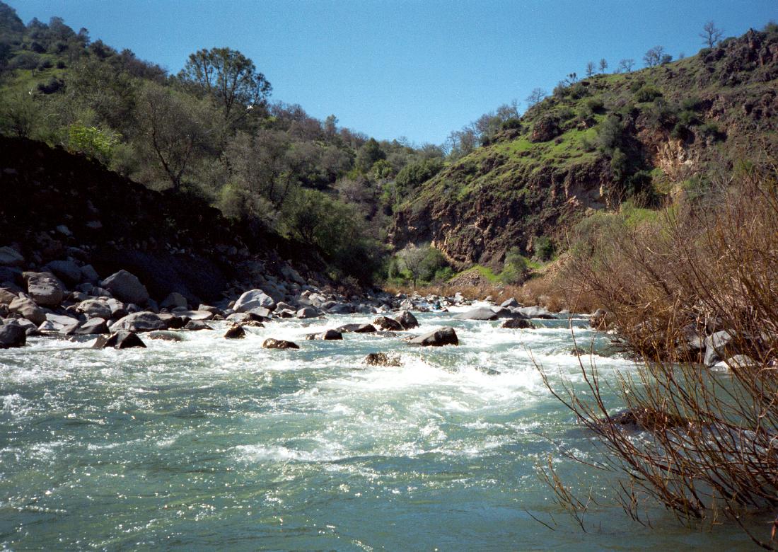
- The river enters another gorge, this time of ragged rock with unknown
composition, and class II-III rapids are a welcome change.
- 13
- Where a tall cliff obscures the afternoon sun, the river bends left,
announcing the start of class IV rapids just around the corner.
-
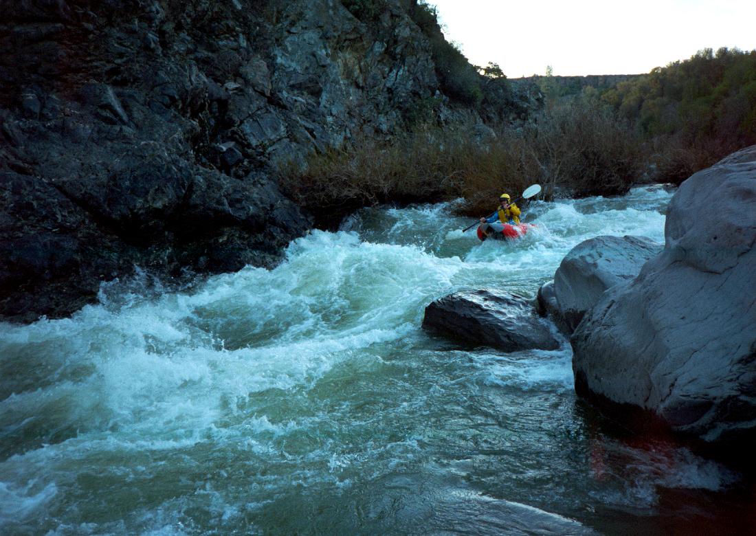
- 13.1
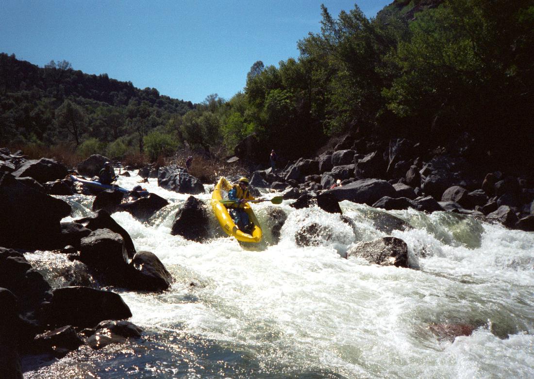
- Numero Cuatro, class IV, scout left
Three diagonal ledges and much boulder dodging among big hydraulics.
Fortunately brush is absent, or else this would be a class V rapid.
Schwind says a difficult portage is possible on the left.
- 13.5
- Numero Cinco, class IV, possibly scout left
Somewhat obscured by a willow fence, the river splits around an island.
The right side becomes a boulder garden, perhaps runnable at higher
flows, and the left side tumbles steeply over a boulder bar. In 1998
we ran a narrow channel among willows on the far left, but there is
no guarantee that a channel will be available in the future. Schwind
recommends portaging across a narrow island towards the left side,
reachable from the righthand boulder garden.
- 14.3
- Numero Seis, class IV-, possibly scout left
The river drops past some cabin-size boulders and surges into a hole
against a cliff on the right. This hole gets very big at high flows.
-
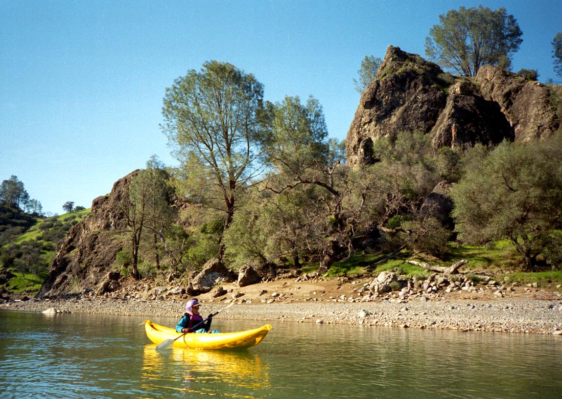
- 15 ?
- Slack water of Berryessa Reservoir begins.
- 16
- Butts Creek enters on the right.
To reach put-in, drive 43 miles north of Napa, thru Calistoga and
over a pass near Mount Saint Helena, to the small town of Middletown.
Drive another 5 miles to a low bridge over Putah Creek.
Parking is available on the northwest side of the bridge,
and a gas station and cafe on the southeast makes a good meeting spot (1998).
To reach take-out from there, return 4.2 miles towards Middletown,
and turn left onto Butts Canyon Road.
Take this road 10 or 11 miles southeast,
passing Guenoc Winery, then following Butts Creek.
Where the creek goes east, turn left onto Snall Valley Road,
and follow this road to Berryessa Reservoir.
The traditional take-out was along Butts Creek, but this land is private,
and gated since the late 1990s.
We parked on public right-of-way near the road bridge across Butts Creek,
and found this note on our windshield when we returned:
“This is private property all of it the fish + Game will be Notified
and so will the Sheriff Next time your car is seen here.” [sic]
Unless you have a motorboat to meet you on the reservoir,
the most practical take-out is to paddle upstream on Butts Creek
to the public bridge where we parked.
Below Berryessa Reservoir, Putah Creek continues
as described here.
Low but boatable flows continue all summer long.
|
|
Creeks Navigation
Home
Recommended Runs
Map of Rivers
Alphabetic Index
Alphabetic Table
Text Search
Sponsored Links
|