|
Kings River above Pine Flat reservoir |
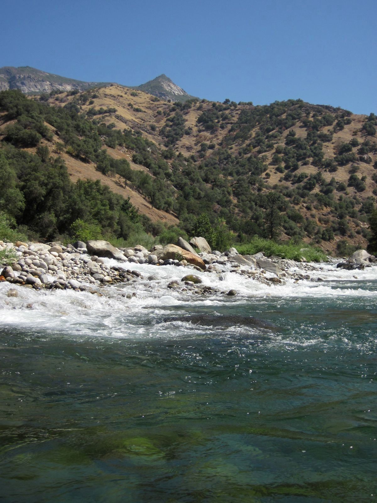
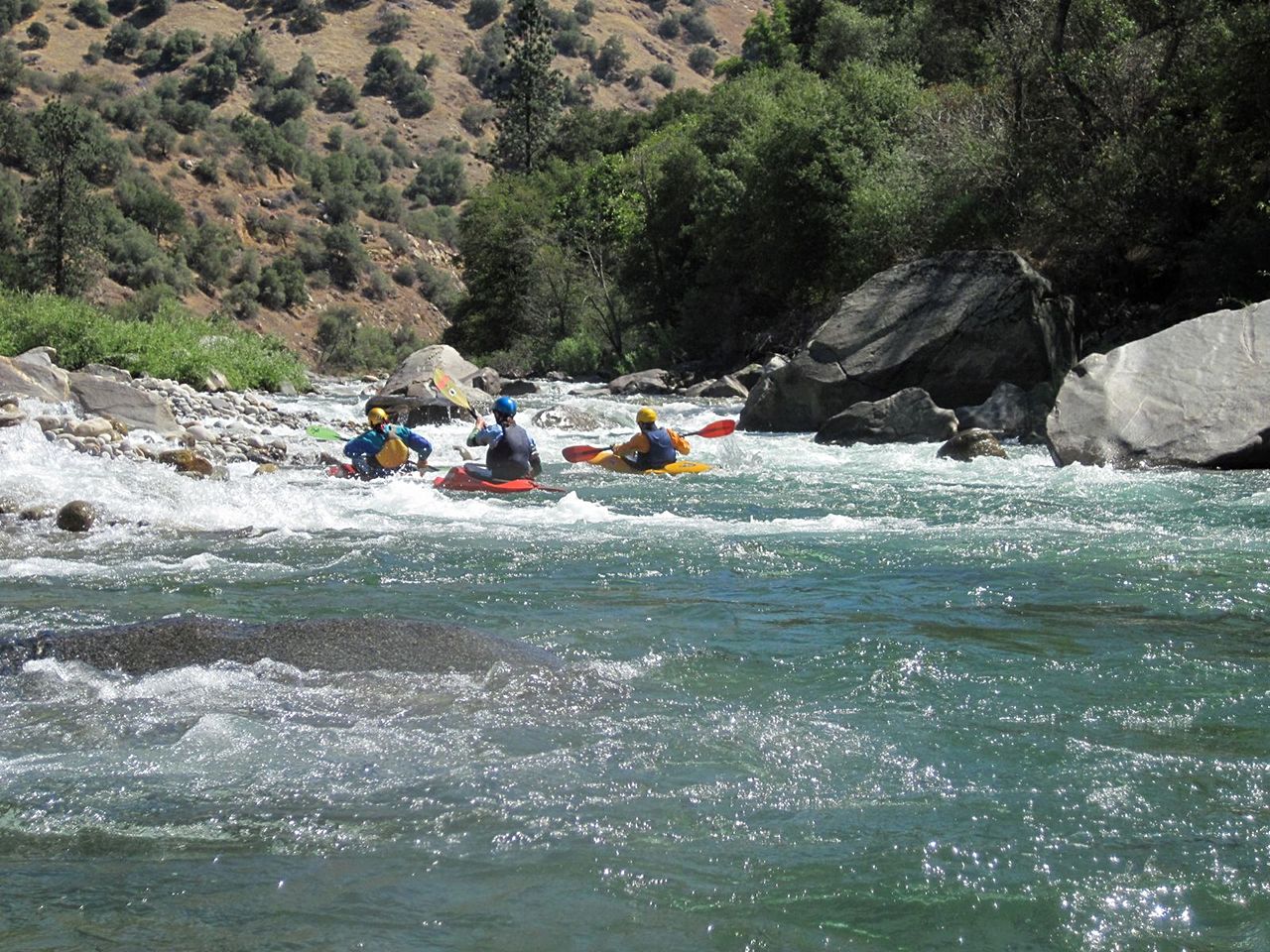
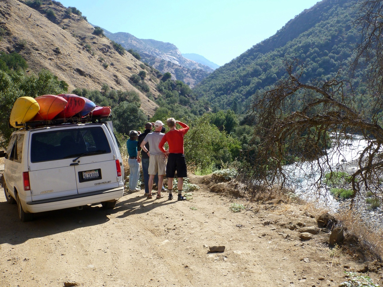
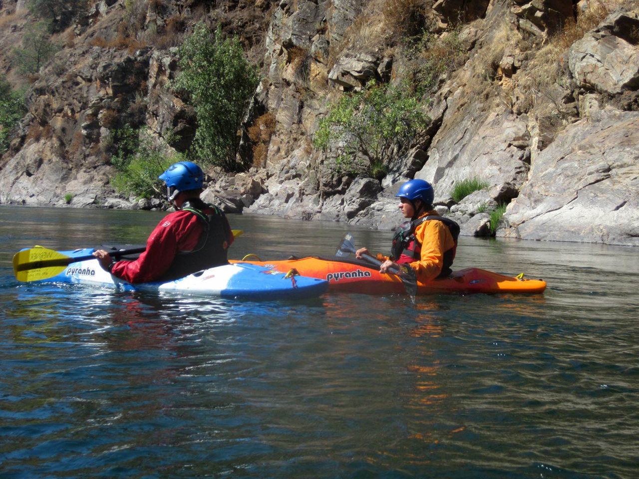
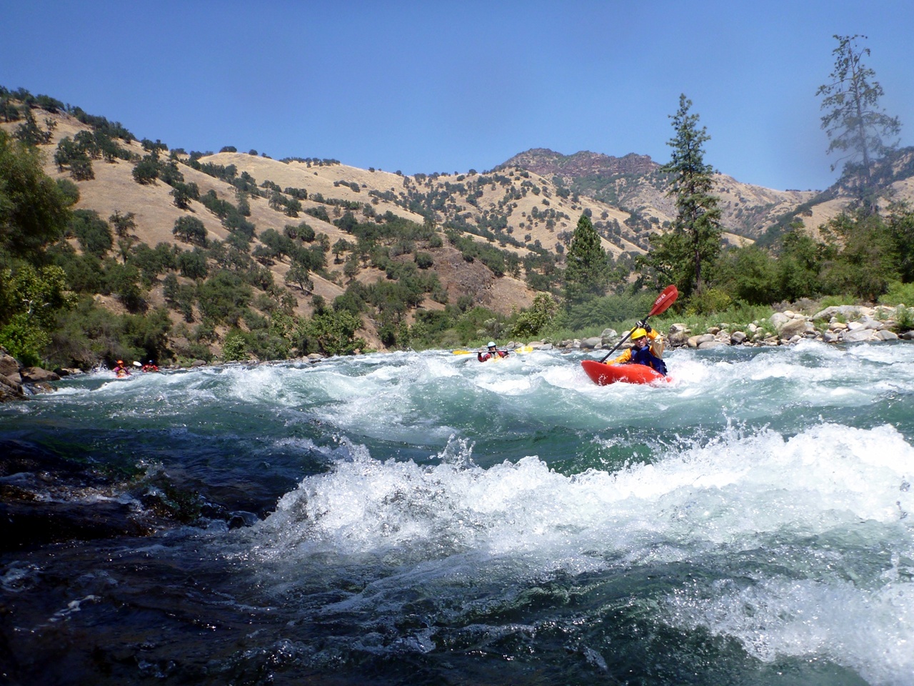
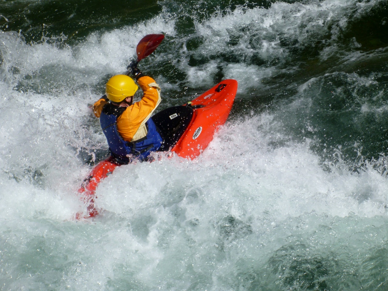
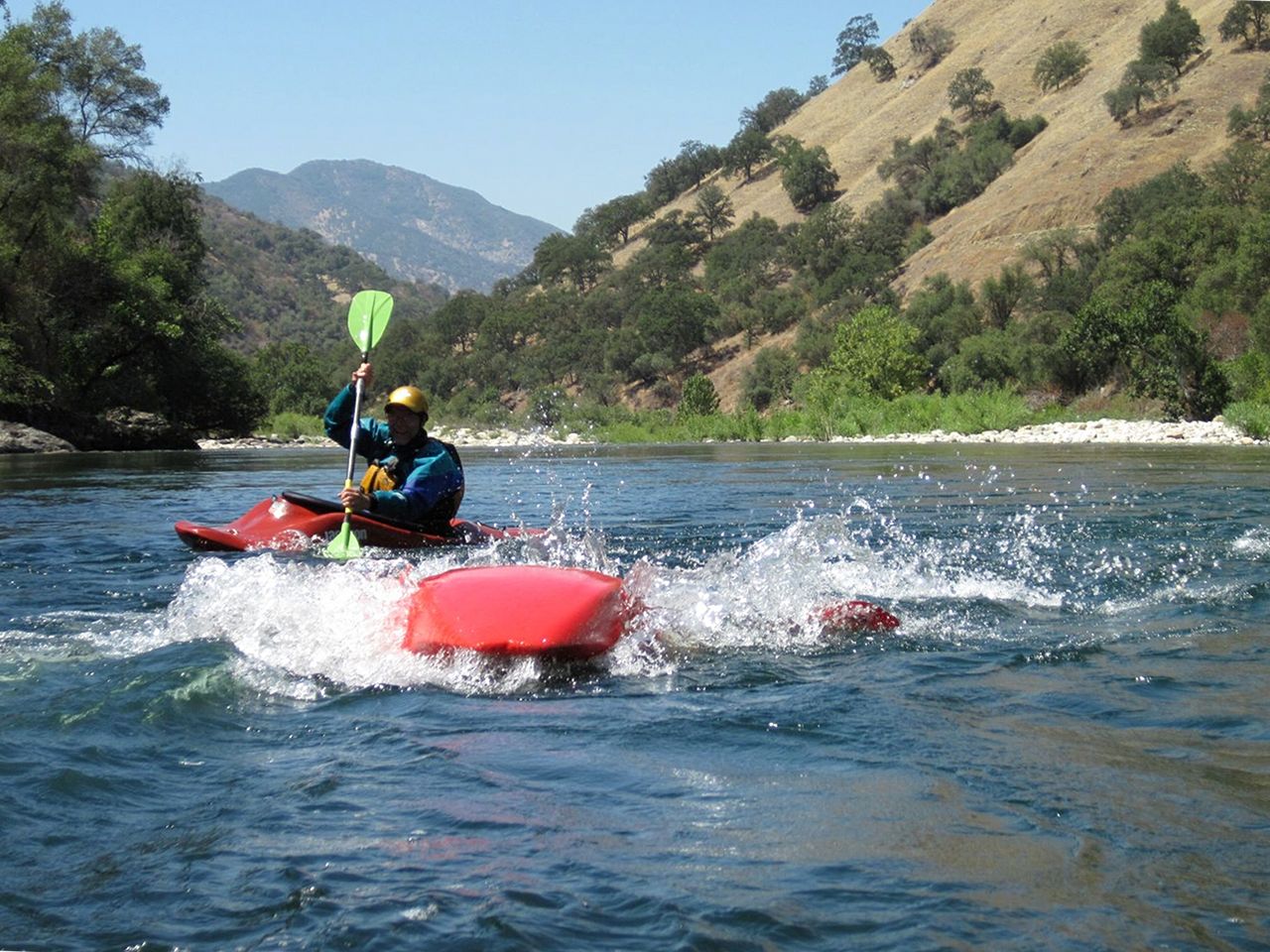
This section of the Kings is great for introducing people to paddle rafting. Except for Banzai rapid near the beginning, all rapids are straightforward. It is easy for guides to get their rafts lined up correctly without paddler assistance, a dicey proposition on some other rivers. The wave trains are long and large, and riverside scenery is excellent. For kayaking, flows often last well into the summer. Beginning paddlers usually feel that they are on a tough river. They think that the Kings is harder than the more technical Tuolumne, although guides know that the reverse is true. For kayaks, this may or may not be what you want. Most wave trains will not upset your boat if you are lined up correctly, but you might feel lost in the troughs of waves. If you do swim, it could be a long and cold experience: the river water was snowmelt only a few hours before. The total river distance is not far, so unless you camp, driving time to the river may exceed floating time. Compounding these drawbacks is the long drive along the shores of Pine Flat reservoir, guaranteed to cause suffering for anyone prone to carsickness. An alternate route is available to reduce distance along reservoir; see shuttle directions below. Fortunately once you reach the river, you find many good campsites surrounded by oak forest with occasional vistas of rocky peaks. Before starting, you should scout Banzai from a high cliff on the river bank, accessible from the shuttle road about a quarter mile from the end. If you decide not to run Banzai, put in on the beach just below that cliff. Most of the rapids on this run were named by Fresno area kids on YMCA-sponsored rafting trips, which explains why so many rapids are named after animals!
Shuttle DirectionsTo reach take-out, drive east from highway 99 onto highway 180 in Fresno. After 18 miles you reach Centerville; turn left on Trimmer Springs Road. Continue past Piedra, and wind 30 slow miles around the north side of Pine Flat Reservoir. Kirch Flat Campground is shortly upstream of the point where you reach the river, and Rodgers Crossing is further upstream. If you are coming from the north, an alternate route is available. According to Google Maps, driving time is longer, but that is dubious, because traffic lights are fewer and distance is 7 miles shorter. From highway 99, take exit 142 onto Herndon Avenue east. Continue just over 12 miles to Clovis, where you merge onto highway 168 east. After 12.1 miles turn right onto Sample Road. After 3 miles turn right onto Pittman Hill Road. After 1.2 mile take the first left onto Watts Valley Road, which in 7.4 miles becomes Maxon Road. Continue another 5 miles and turn left on Trimmer Springs Road. After about 18 miles you reach camping areas near Rodgers Crossing. To reach put-in, continue upriver, possibly cross a concrete bridge, and continue on the paved road to Rodgers Crossing bridge. (A dirt road bears right on the south bank leading to Mill Flat Creek and other campgrounds.) After crossing the bridge, turn right onto a dirt road and drive 7 increasingly slow miles until you reach Garnet Dike put-in. Stop to scout Banzai if you are considering putting in above it. To find nearby food and lodging, type Fresno into the box and click Search. 
Custom Search
|
Creeks NavigationHomeRecommended Runs Map of Rivers Alphabetic Index Alphabetic Table Text Search
Sponsored Links
|