|
Indian Creek into the North Feather |
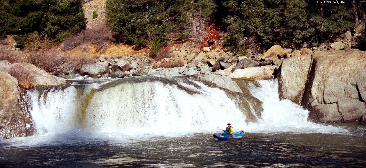
This Indian Creek (near Quincy in Plumas County) could be called the North Tine of the East Branch of the North Fork Feather. The run recommended here, from Indian Falls to Paxton, is quite short, and could be combined with a 10 mile section downstream on the East Branch of the North Fork Feather, from Virgilia to Belden. Above Indian Falls are 1.5 miles of very steep and dangerous rapids, especially at high water, leading directly into the falls itself. Indian Falls, which is class V-VI at high water, looks somewhat runnable at low flows. Below Indian Falls, there are several good class IV drops. The gradient slackens for a while, then increases before the confluence with Spanish Creek.
To reach take-out, drive northeast from Oroville on highway 70 up the North Feather canyon. The take-out is near the confluence with Spanish Creek, below the town of Paxton, where highway 89 intersects highway 70. To reach put-in from there, drive upstream on highwy 89 to the town of Indian Falls. The put-in is just below Indian Falls. Where the creek bends away from the road, look for a dirt road leading down the water. If the gate on that dirt road is locked, the walk downhill is not long.
|
Creeks NavigationHomeRecommended Runs Map of Rivers Alphabetic Index Alphabetic Table Text Search
Sponsored Links
|