|
Guadalupe River thru San Jose |
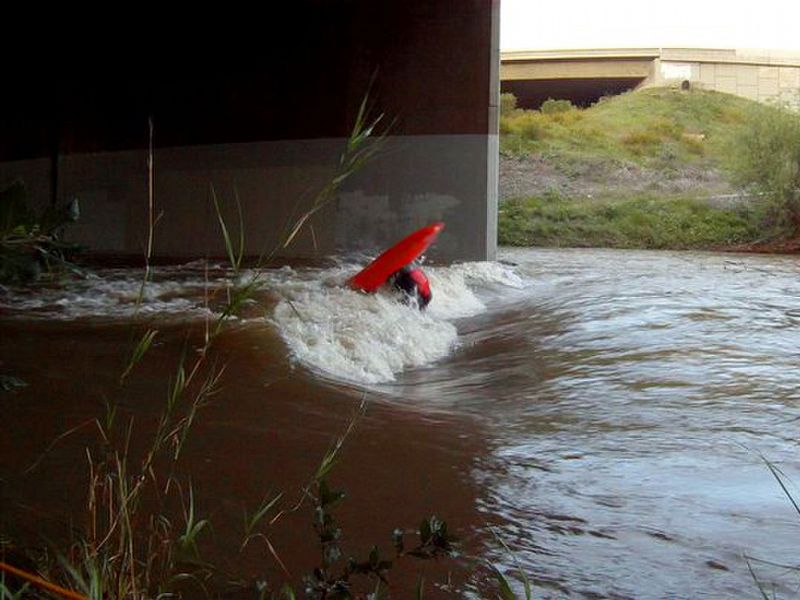
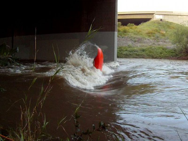
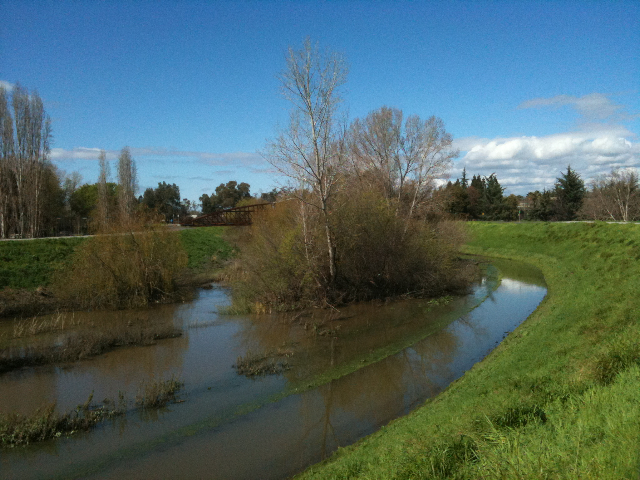
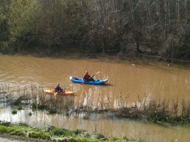
In the early 1980s, everyone was surprised when salmon were discovered spawning in the Guadalupe River. During the roaring 1990s, redevelopment projects turned the Guadalupe into more of a creek than a mere concrete channel. Open space lining the creekbed makes this a more pleasant run than one might expect in an urban setting. On our paddle to Alviso, we enjoyed observing the cleverness of flood-abatement engineering in the downtown section. We also discovered some surf spots that can help you save gasoline! The highest normal put-in is Blossom Hill Road. Above that point are percolation ponds at the confluence of Alamitos Creek. Perhaps a better put-in is near Branham Road, just above the Ross Creek confluence. Recently the city built a salmon ladder with 3 steps where the creek goes under Capitol Expressway. This is fun to run. In early 1999 there were 2 strainers between there and downtown. Big concrete drops are gradually being replaced by salmon ladders. There are some rapids in the section before the San Jose Arena, and excellent playspots under St. James Street and the Nimitz freeway. Near downtown, the Guadalupe is often lined with city parks. Past the airport, the channel becomes wilder but noisier. Trimble Road is a recommended take-out; after that the brush gets worse.
Other Runs Near San JoseBelow Alum Rock Park, Penitencia Creek has some nice drops and makes an interesting run after recent rains. Below Anderson Reservoir, Coyote Creek is extremely brushy and not recommended for boating, especially when the reservoir is spilling. Los Gatos Creek from Lexington Reservoir to the Guadalupe has been called “a good run” although it starts in a concrete channel. The streams flowing from the slopes of Loma Prieta peak into Uvas and Chesbro Reservoirs are reportedly runnable class II. From Loc Lomond to the San Lorenzo river at Ben Lomond, there is a creek with class II rapids, runnable when the reservoir spills. Stevens Creek below Stevens Creek Reservoir is class I moving water, with the advantage of sometimes running in autumn as the reservoir drains. Further down it becomes steeper and more difficult, with occasional concrete-lined waterfalls and slaloms. San Francisquito Creek from Stanford campus thru Palo Alto to the bay is usually runnable after even minor rainstorms. There is a good put-in just downstream of I-280 along Alpine Rd. This section contains several concrete-lined waterfalls, and potentially brushy spots before and amid Stanford golf course. Rapids get easier shortly after Foothill/Junipero Serra, where there is a flow gauge reporting to the USGS site. One waterfall, named Basketball Falls, lurks below the railroad tracks. There are good take-outs near the Chaucer Street bridge, and just before the bridge at University Avenue.
|
Creeks NavigationHomeRecommended Runs Map of Rivers Alphabetic Index Alphabetic Table Text Search
Sponsored Links
|