|
Big Sur River past Big Sur |
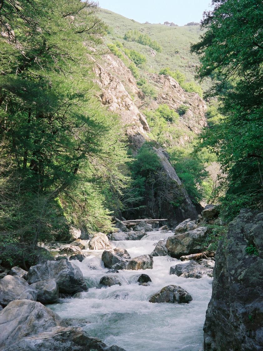
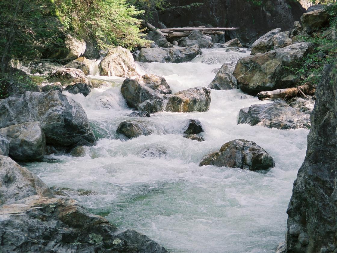
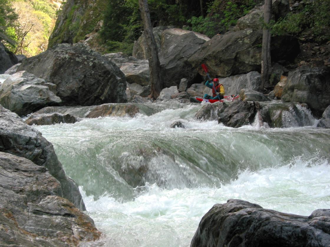
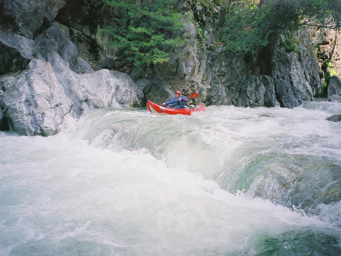
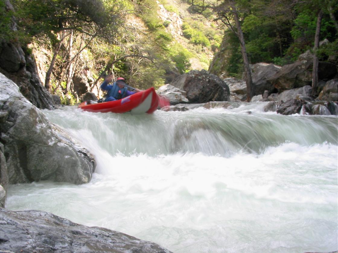
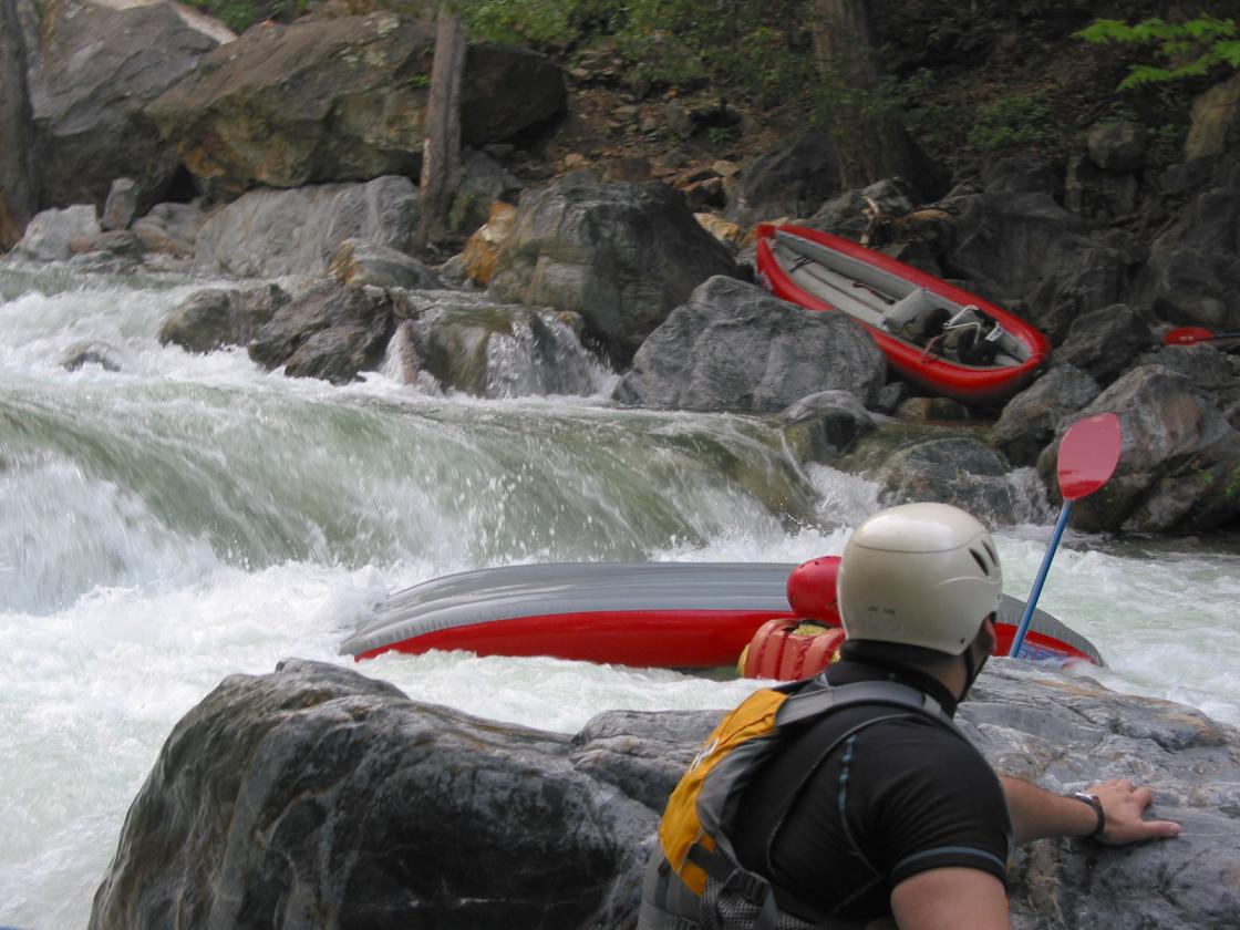
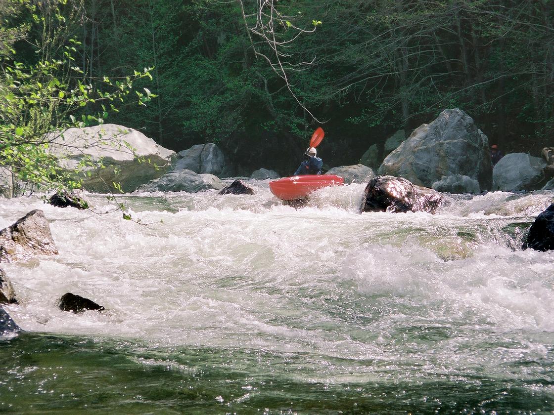
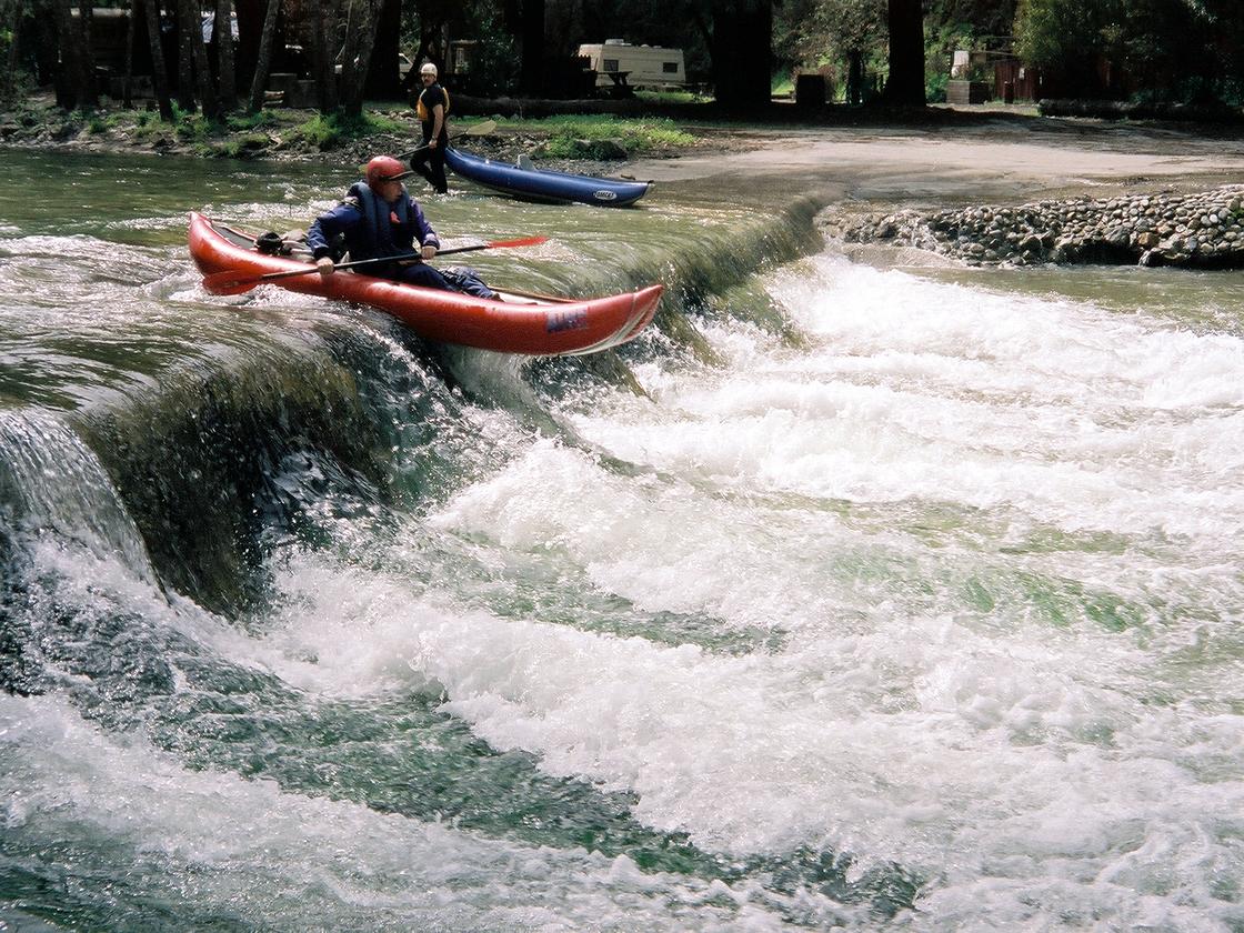
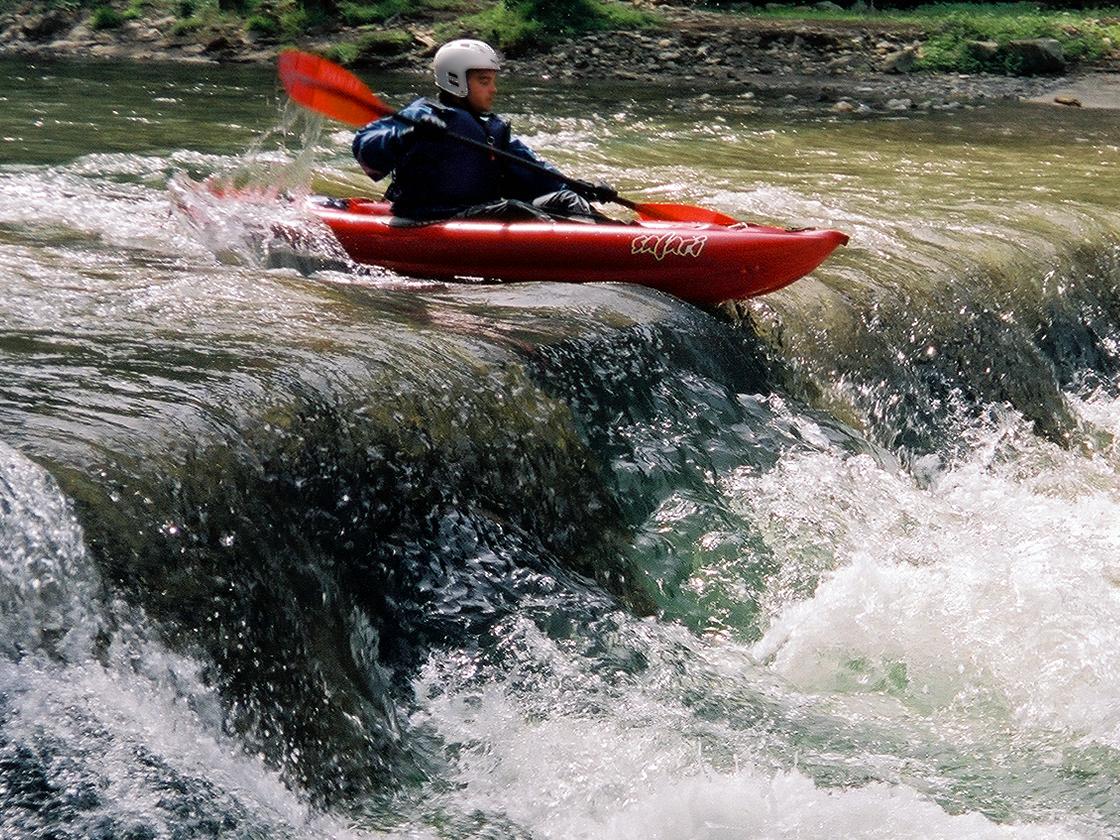
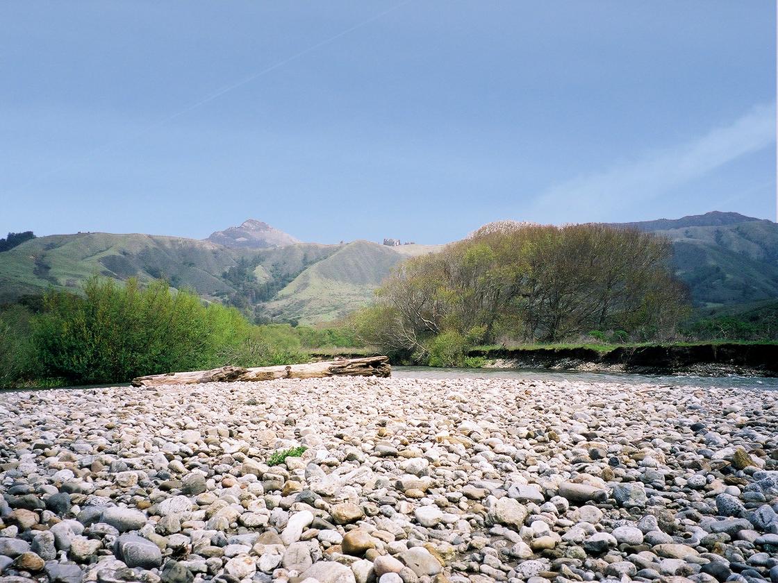
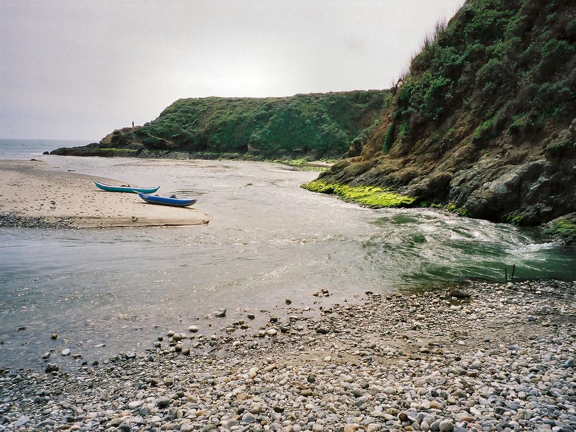
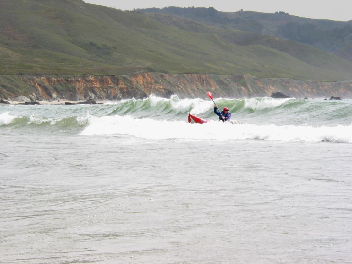
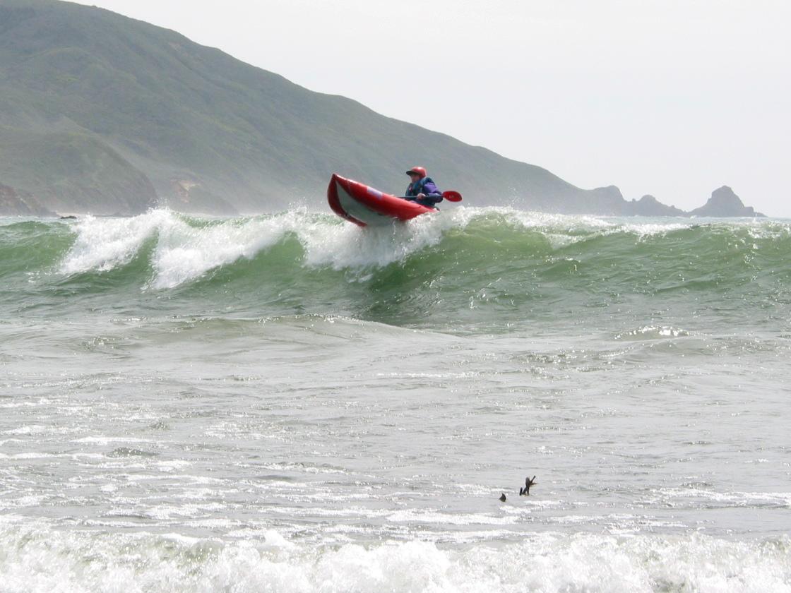
This is an excellent rainy-season run even for boaters who normally shun class II. It is popular with kayakers living around Monterey, so brush and logjams are kept relatively clean. Even after big rainstorms, the water remains clear, a refreshing change after the San Lorenzo river. Most boaters feel it's less fun below 300 cfs, and many decide not to run it above 1200 cfs, when it starts to get muddy with floating trees. Hazard! Log jams in April 2006: four total, three new. You can easily carry boats a short distance upstream to run a class III rapid with class II+ runout, or go slightly further upstream to run a class IV rapid. While you're there, you can appreciate the class V gorge above. If you don't mind hiking a mile with your boat at end of trip, you can continue all the way to the ocean. The scenery is very good, although most of the way the river flows thru campgrounds and past semi-permanent habitations. The scenic highlights are the gorge and falls at the beginning, some beautiful waterfalls along the way, and coming upon the ocean at the end (if you elect to hike out). This might be the most beautiful river to ocean transition in California: it's far superior even to the Carmel river.
The Little Sur river is also runnable from the campsite below Bottcher's Gap to Old Coast Road: class IV in a tight gorge with many possible logjams. Flow ranges seem similar to the lower range of recommended Big Sur flows. Park at the Bottcher's Gap trailhead, at the end of Palo Colorado Road, and carry your boats about 2 miles downhill to the river campsite. A recent report indicated 8 or 9 portages due to timber and some big drops. The landowner near take-out is very hostile, so keep a low profile. Boaters have been threatened with arrest and ticketed for trespassing at the Highway 1 bridge, and access points are lined with razor wire.
Driving and Shuttle DirectionsTo reach take-out, take highway 1 south from Carmel. After you pass the lighthouse and naval station at Big Sur point, drive 2.2 miles to a sandy parking area and trailhead on the right. This is a free parking spot if you elect to hike out from the ocean. If you decide not to carry boats a mile uphill, proceed .3 mile to the downhill entrance into Andrew Molera Park (fee area). They have a parking area next to the river. Before doing your shuttle, look at this take-out spot, which is easy to miss when on the river. To reach put-in, return to highway 1. Drive south about 4.5 miles, past the village of Big Sur. Turn left into the entrance of Pfeiffer Big Sur park (fee $8 in 2006). If you prefer carrying boats to extra driving, stay on the left side (river right) and park at the furthest upstream parking lot near a gate. If you don't mind extra driving, cross the river to the right side (river left) and drive upstream to the furthest campground, choosing the highest number campsite at each fork in the road. Drop off gear and people, and have driver(s) return to the aforementioned parking lot near a gate on river right. Driver(s) then walk upstream across the bridge to the drop-off spot. From there you can hike a short distance upstream to run some class III-IV.
|
Creeks NavigationHomeRecommended Runs Map of Rivers Alphabetic Index Alphabetic Table Text Search
Sponsored Links
|