|
American River Middle Fork near Auburn |
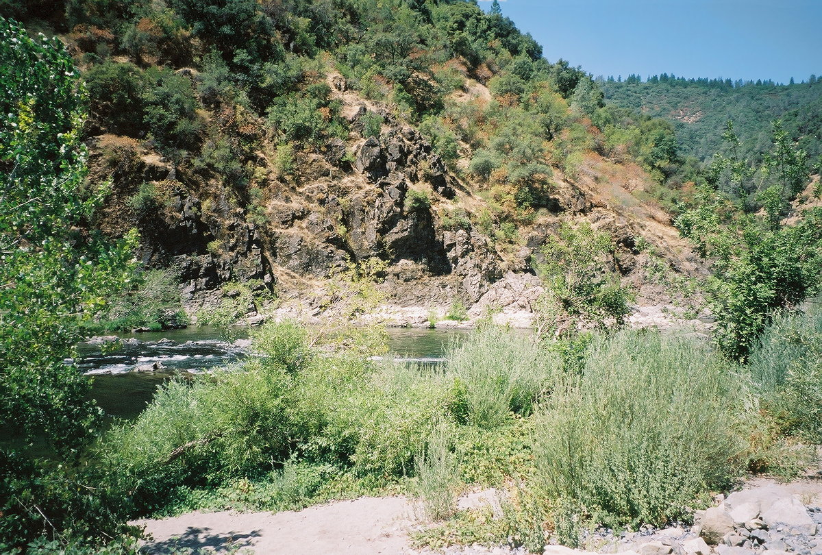
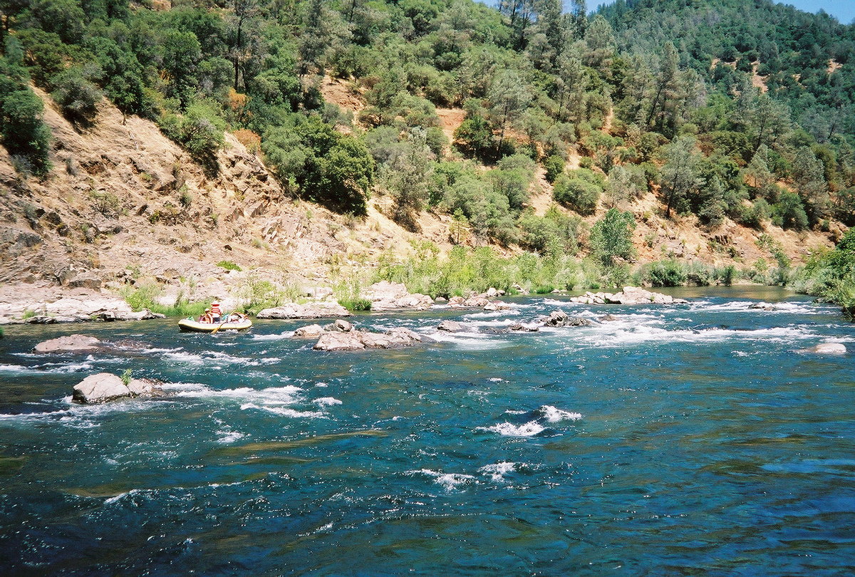
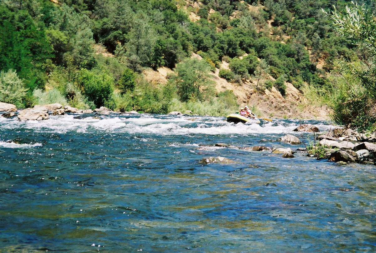
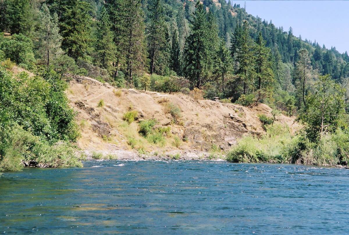
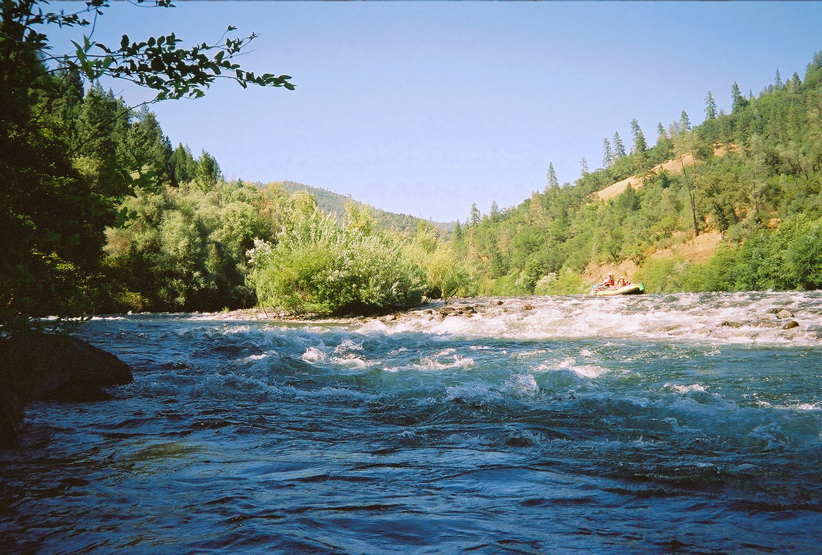
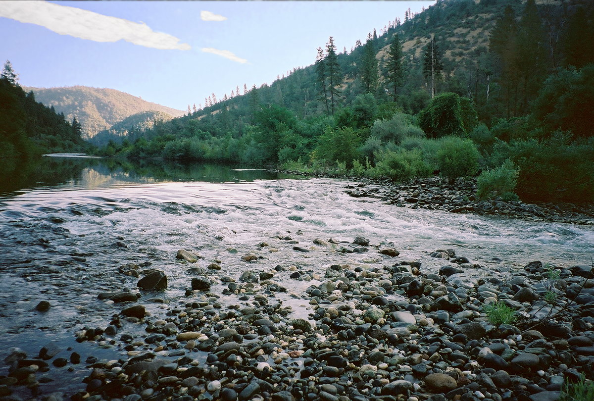
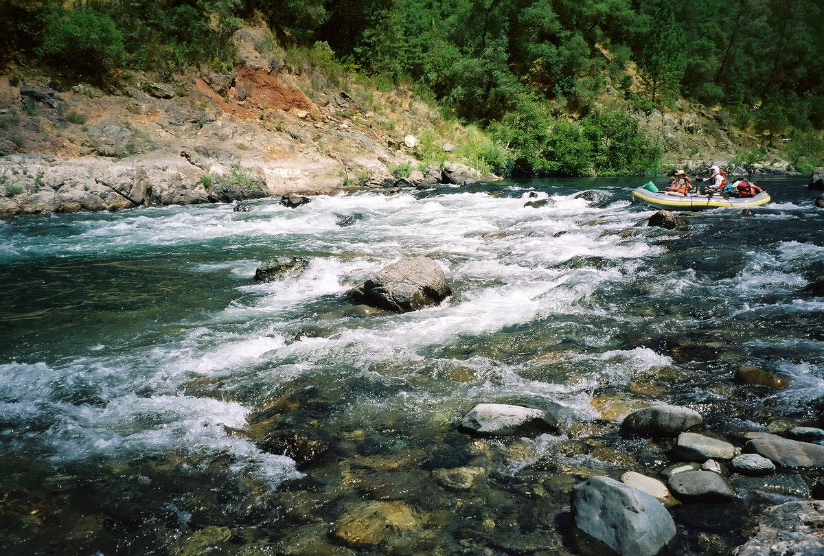
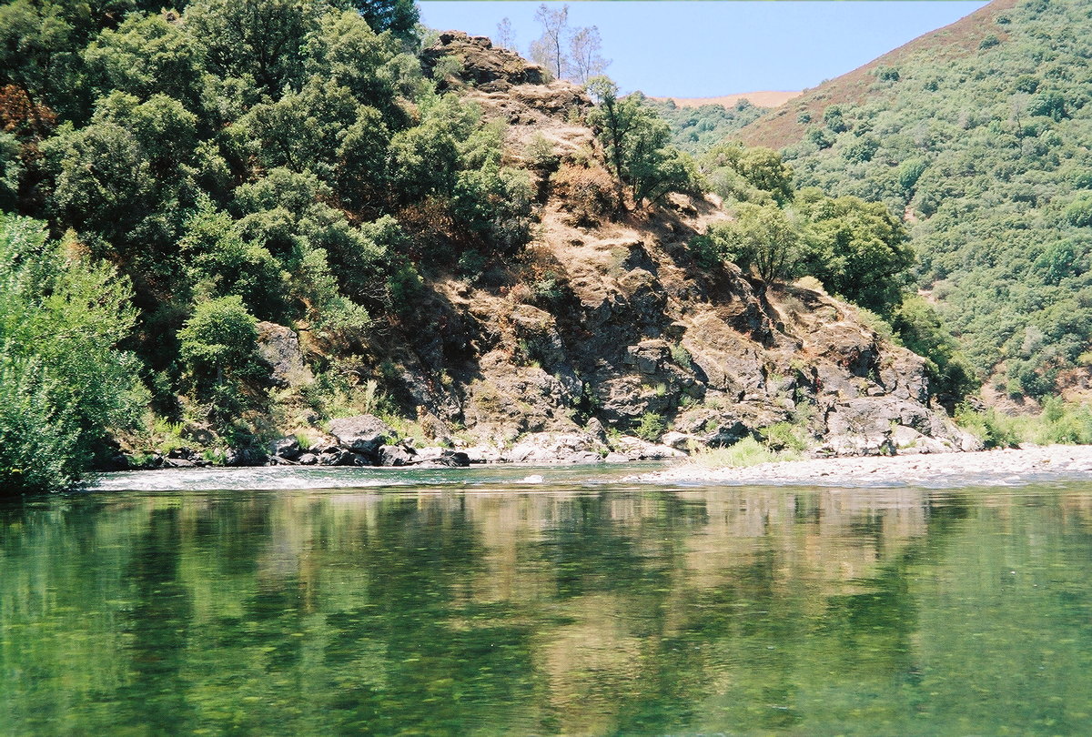
This is a good beginner run in mid to late summer, when other rivers have lost their natural flow. Boaters encounter a fun class II or II- rapid every few minutes, it seems. An added bonus is proximity to population centers. With few people on the river, and being well away from any road, this section has a nice wilderness feel. Moreover, the blackberry harvest is bountiful in mid to late summer. The one downside is the rough dirt-road shuttle to put-in. Although this run has one class III feature and many class II rapids, they are all relatively wide-open and unobstructed. These traits, combined with minimal brush hazards, make this run safer than some others, including the lower Stanislaus and Putah Creek, for an out-of-control beginner. In wet years Oxbow powerhouse releases 1150 cfs around the clock, except for occasional unpredictable days with no release. In drought years there are additional days without releases, often Sundays, and power generation starts in early morning, rather than going all night. Higher water takes about 5 hours to travel 16 miles to your put-in. If you check the OXB flow on the web shortly before driving to the river, you are virtually assured of adequate water. Note (2008): Unfortunately, the Mammoth Bar access is closed certain days for everyone. Previously it was closed for motorized vehicles but open for river access. Currently the park is open from April thru September (summer) only on Thursday, Sunday, and Monday. From October thru March (winter) the park is also open on Friday. If the Mammoth Bar access is closed, you will have to portage Murderer's Bar (directions below) and somehow negotiate a class III-IV drop just above the north fork confluence. For open canoes, Barry Nelson says there are at least six class II rapids: We've done this run (down to Murderer's Bar) quite a few times in canoes, hardshell kayaks and IKs. At typical 1150 cfs summer flows, there are about 5 class II rapids in the upper half, with just a few play waves. About a third of the way into the run, there is a big hole on river left. It's very easy to miss on river right, even without scouting. This run is not for the beginning canoeist: some whitewater skills are required. However, it is a great run for a solid beginning kayaker -- easier than the lower North Fork. I've taken a first time IK paddler down with nary a mishap. In the lower half, there are a few easy wave trains. The pools flatten out and afternoon upstream winds sometimes slow your progress, although I remember at least one class II. With a leisurely lunch, it makes a great day and seems far longer than the mileage suggests.The run immediately upstream, a great commercial rafting run, is described in the Tunnel Chute writeup. The run downstream, with whitewater park opened in 2008, is described in the Auburn Dam site writeup. Note that this entire run would have been drowned if Auburn Dam, planned in the 1960s but abandoned after discovery of a nearby earthquake fault, had been built and filled.
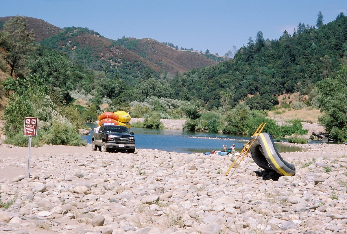
Shuttle DirectionsTo reach take-out, take highway 49 south from Auburn and descend three miles to the river. Just before crossing the bridge, turn left onto Old Foresthill Road. This is an alternate take-out that simplifies your shuttle but requires a portage around Murderer's Bar Rapid. Continue about 1.5 mile to Mammoth Bar Road, turn right, and follow this dirt road about a mile to the river. To reach put-in from there, return to Old Foresthill Road, turn right, and continue another 5.5 miles (7 miles from highway 49). Turn right onto Driver's Flat Road, and follow this dirt road about 1.5 mile down to the river. Greenwood Bridge site can also be reached from Foresthill via McKeon Way, a dirt road that is longer but less steep than Driver's Flat Road. To find nearby food and lodging, type Auburn into the box and click Search. 
Custom Search
Here is a trip report sent by Chris Cullen, a gracious reader: I did this run [late July 2001] with two friends in a Coleman Scanoe. We put in at Ruckachucky campground and took out at Mammoth Bar. The flow was pretty low (not sure of exact volume), which required some careful maneuvering in several rocky areas. I'd say that we went though at least ten sets of rapids that were above class one because of the maneuvering that had to be done. Both of my friends were pretty heavy and without much experience. I was in the back and happen to be the lightest, so we were a bit nose-heavy. We plowed through most sets of rapids, getting swamped three times, but managed to paddle to shore to dump. I let my buddy take the back and steer and we promptly nailed a rock and ended up capsizing. Other than that, it was a walk in the park. This is beautiful country with several possible camp spots on the way. The run takes you fairly far from roads. The shuttle was not too bad, if you don't mind the 2 mile dirt road toward the campground down Driver's Flat road.
|
Creeks NavigationHomeRecommended Runs Map of Rivers Alphabetic Index Alphabetic Table Text Search
Sponsored Links
|